|
|
Main benchmarks recovered in good or poor condition. |
|
|
Main benchmarks that have been destroyed. |
|
|
Reference benchmarks recovered in good or poor condition. |
|
|
Reference benchmarks that have been destroyed. |
|
|
Azimuth benchmarks recovered in good or poor condition. |
|
|
Azimuth benchmarks that have been destroyed. |
|
|
A main, reference, or azimuth benchmark not searched for. |
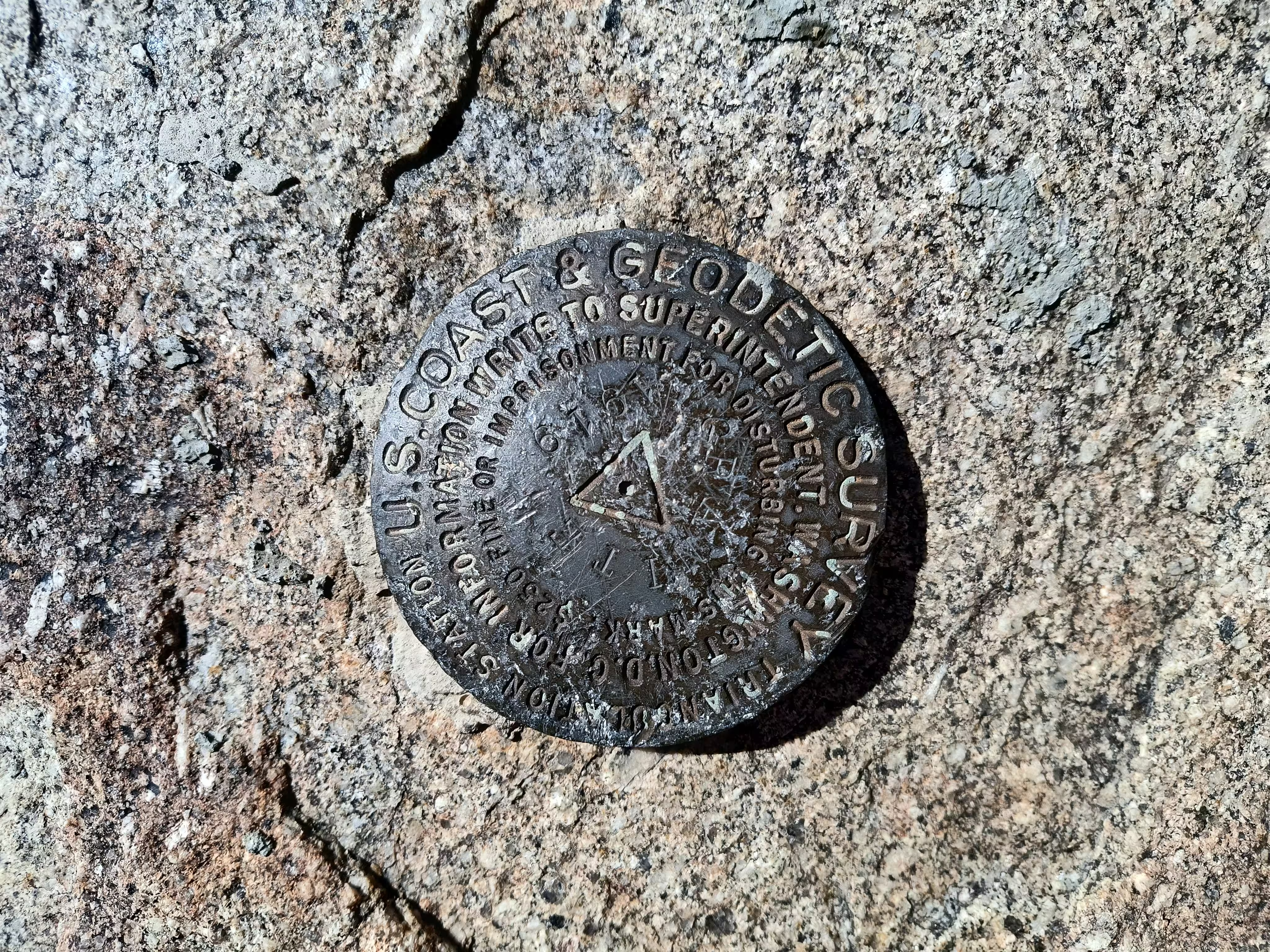
"GRANITE"
| NGS PointID: | ET0987 |
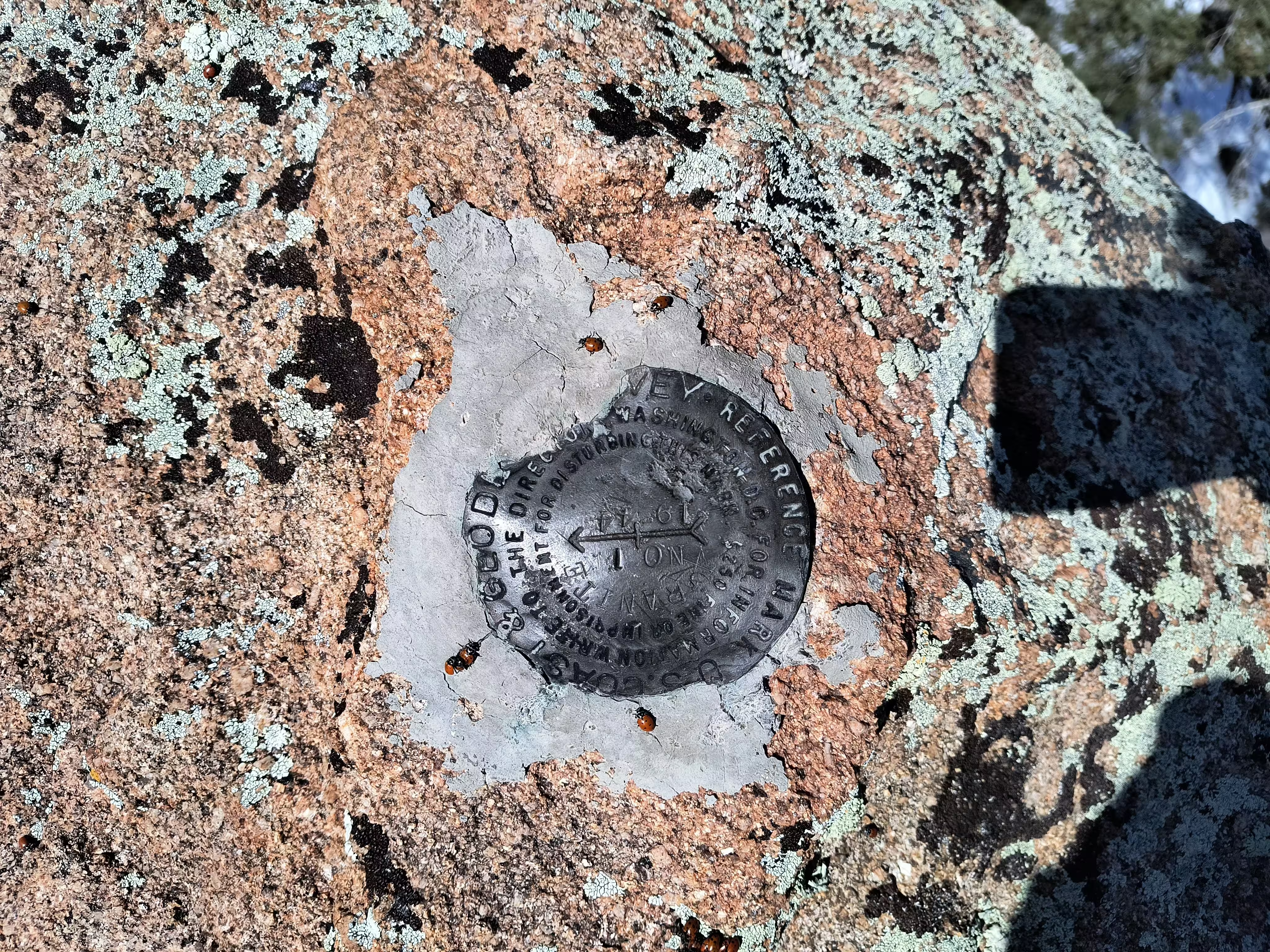
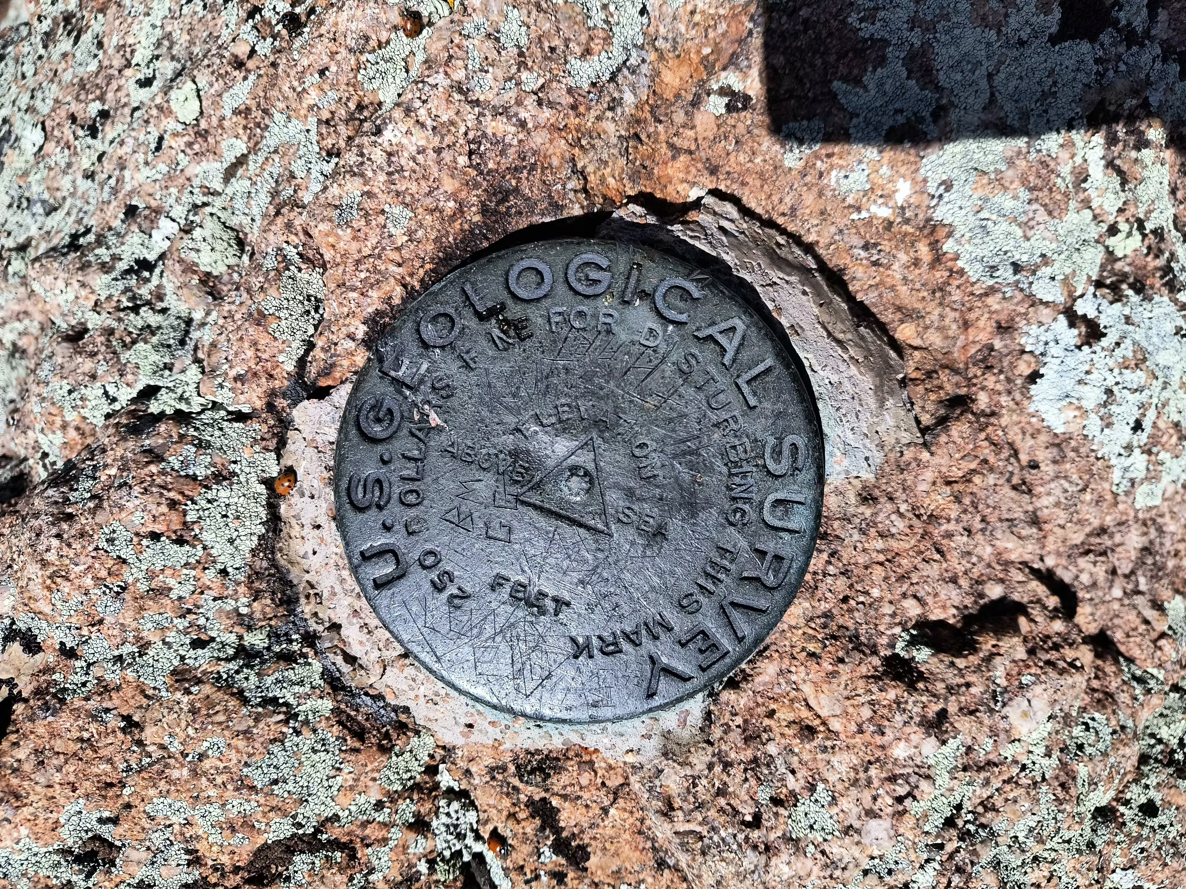
| Reference Benchmarks: | GRANITE NO 1, GRANITE (USGS) |
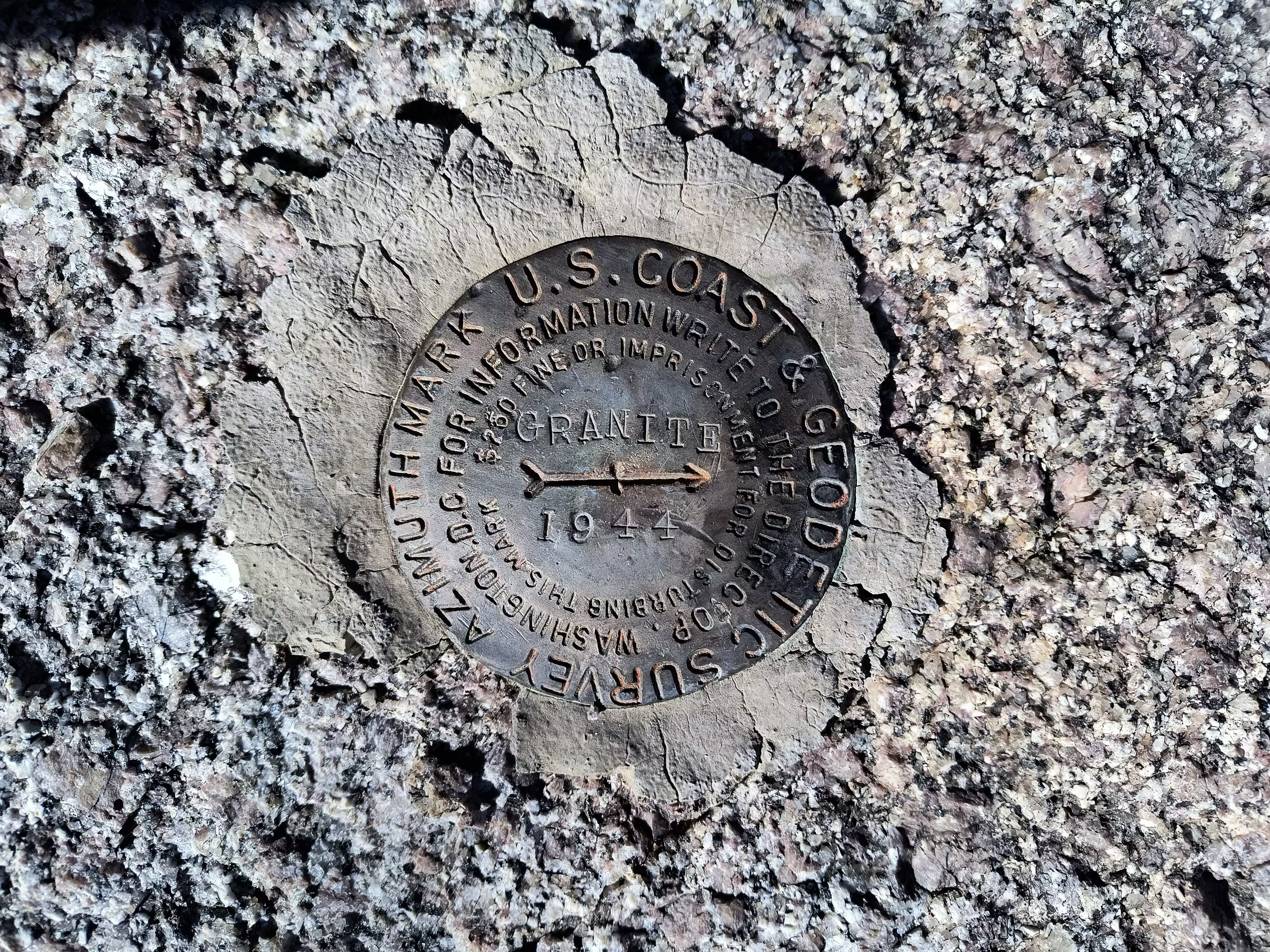
| Azimuth Benchmark: | GRANITE 1944 |
| Condition: | Beaten up and scratched a bit |
| Stamping: | GRANITE 1919 |
| Coordinates: | 34.6379054, -112.5534812 |
| Elevation: | 7628.0 ft (2325.0 m) |
| Setting: | A rock outcrop |
| Monumentor: | USC&GS |
Datasheet Description (Truncated):
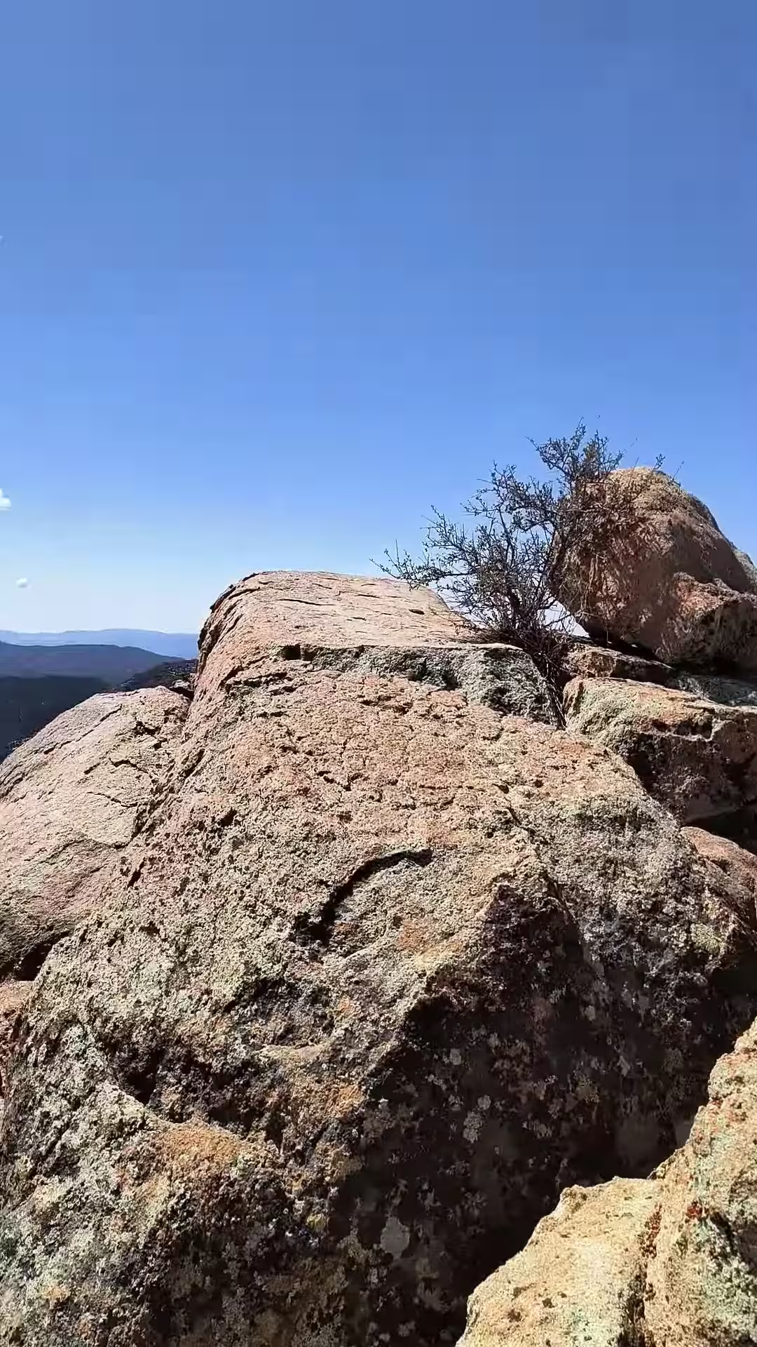
Station is about 8 miles air line and 16 miles by road and trail NNW of Prescott. It is on the highest peak of Granite Mountain, on a shelving flat rock at the S side of the summit, and 3 or 4 feet lower than some of the surrounding crags.
Station mark is a bronze disk set in a drill hole in outcropping bedrock.
Height of signal above station mark - 1.25 meters.
Reference mark 1 is a bronze reference disk set flush in a large boulder and is stamped GRANITE NO 1 1944. It is at about the same elevation as station mark.
Reference mark 2 is GRANITE (U.S.G.S.).
GRANITE USGS is a standard U.S Geological Survey bench mark disk set in a large boulder that forms the highest point of the peak. Mark is not stamped. It is 16.252 meters (53.318 feet) ENE of U.S.C. and G.S. station GRANITE and about 7 feet higher.
Azimuth mark is a bronze azimuth disk set in outcropping bedrock and is stamped GRANITE 1944. It is 24 feet E of the center line of road and about 5 feet higher than the roadbed.
"GRANITE" is a benchmark monumented by the USC&GS in 1919 located in Yavapai County, Arizona. It has 2 reference marks, 1 of which is non-dedicated, and a dedicated azimuth.
There is an established trail up the mountain followed by an established bushwhacking route. When following the route well, the bushwhack can take significantly more time.
When heading off trail, DO NOT TRUST all of the cairns. Some will lead you in a desirable path, while others lead you completely off track. When in doubt, look for general landmarks you should be heading towards using knowledge of the route and use common sense to get to them.
"GRANITE NO 1" can be seen from the benchmark to the north.
"GRANITE" (USGS) is on the highest summit of the peak.
"GRANITE 1944" is the station's azimuth mark. To reach the azimuth from Prescott, take the left fork at Miller Valley and Iron Springs Road onto Iron Springs Road for 2.9 mi (4.7 km) to a right fork at Granite Basin Road AKA FR 374. Here take the right fork and continue for 1.8 mi (2.9 km) to a fork, keep right and continue for 0.3 mile. At this point a large flat rock outcrop projecting a few feet will be seen to the right of the road and it is in this outcrop that the azimuth mark has been placed. This outcrop is just south of across the road from the driveway to the Yavapai Campground.
The station is just barely visible from the azimuth, almost obscured by another large rocky peak.
