|
|
Main benchmarks recovered in good or poor condition. |
|
|
Main benchmarks that have been destroyed. |
|
|
Reference benchmarks recovered in good or poor condition. |
|
|
Reference benchmarks that have been destroyed. |
|
|
Azimuth benchmarks recovered in good or poor condition. |
|
|
Azimuth benchmarks that have been destroyed. |
|
|
A main, reference, or azimuth benchmark not searched for. |
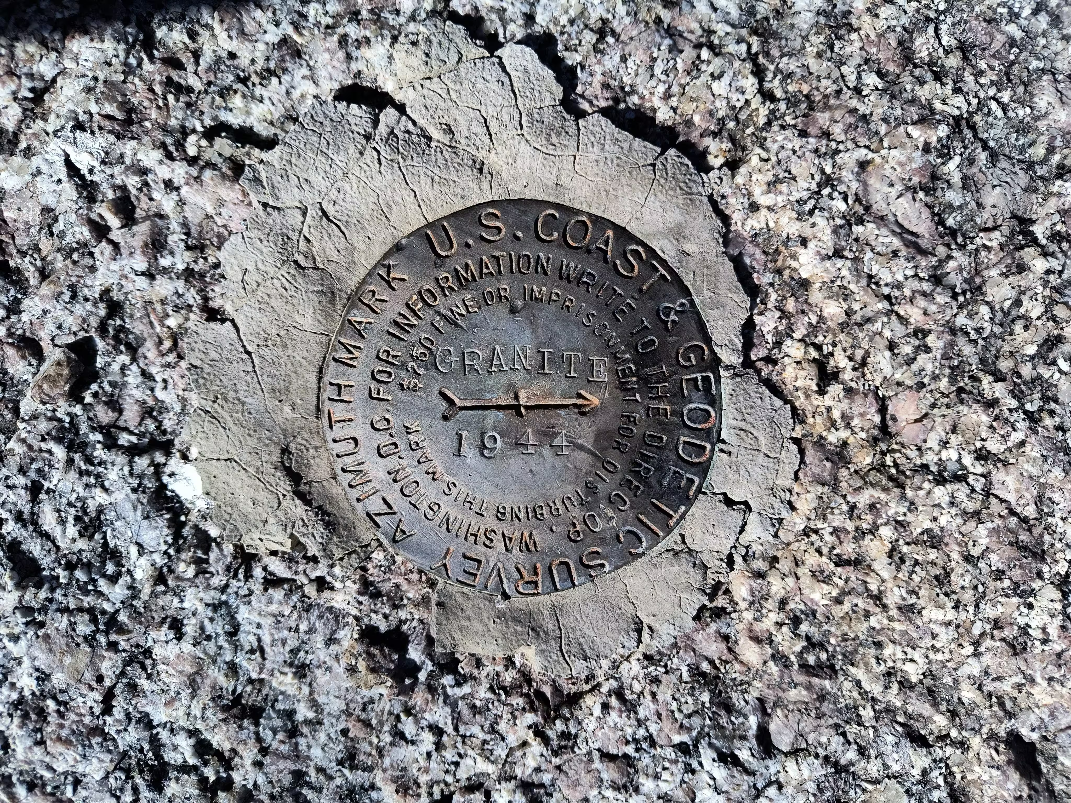
"GRANITE 1944"
| NGS PointID: | CH2367 |
| Reference Benchmarks: | GRANITE |
| Condition: | Worn and uneven looking. |
| Stamping: | GRANITE 1944 |
| Coordinates: | 34.60227, -112.53856 |
| Elevation: | 5841.24 ft (1780.41 m) |
| Setting: | A rock outcrop |
| Monumentor: | USC&GS |
Datasheet Description:
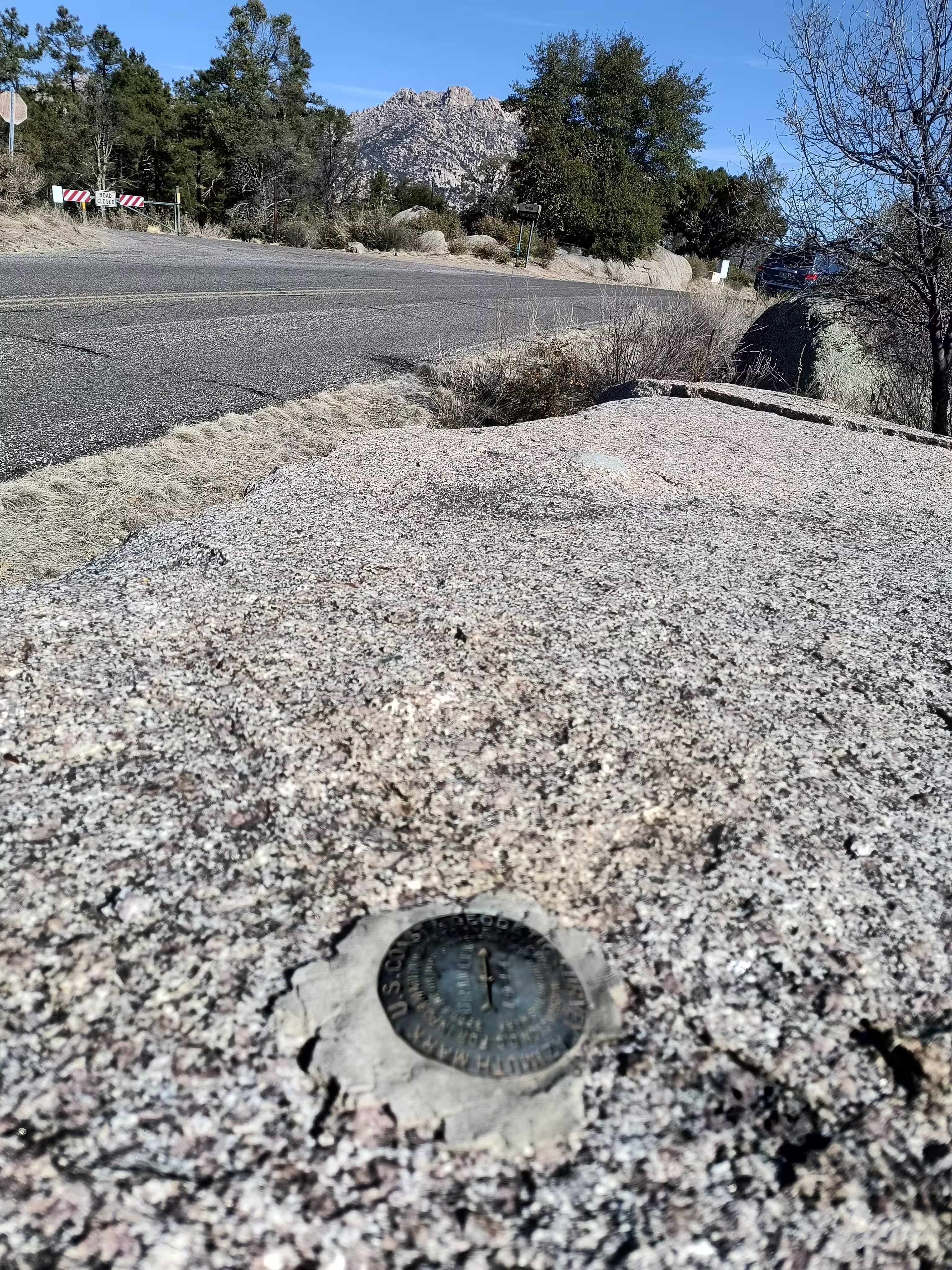
Azimuth mark is a bronze azimuth disk set in outcropping bedrock and is stamped GRANITE 1944. It is 24 feet E of the center line of road and about 5 feet higher than the roadbed.
"GRANITE 1944" is a benchmark monumented by the USC&GS in 1944 located in Yavapai County, Arizona. It is the dedicated azimuth marks for GRANITE.
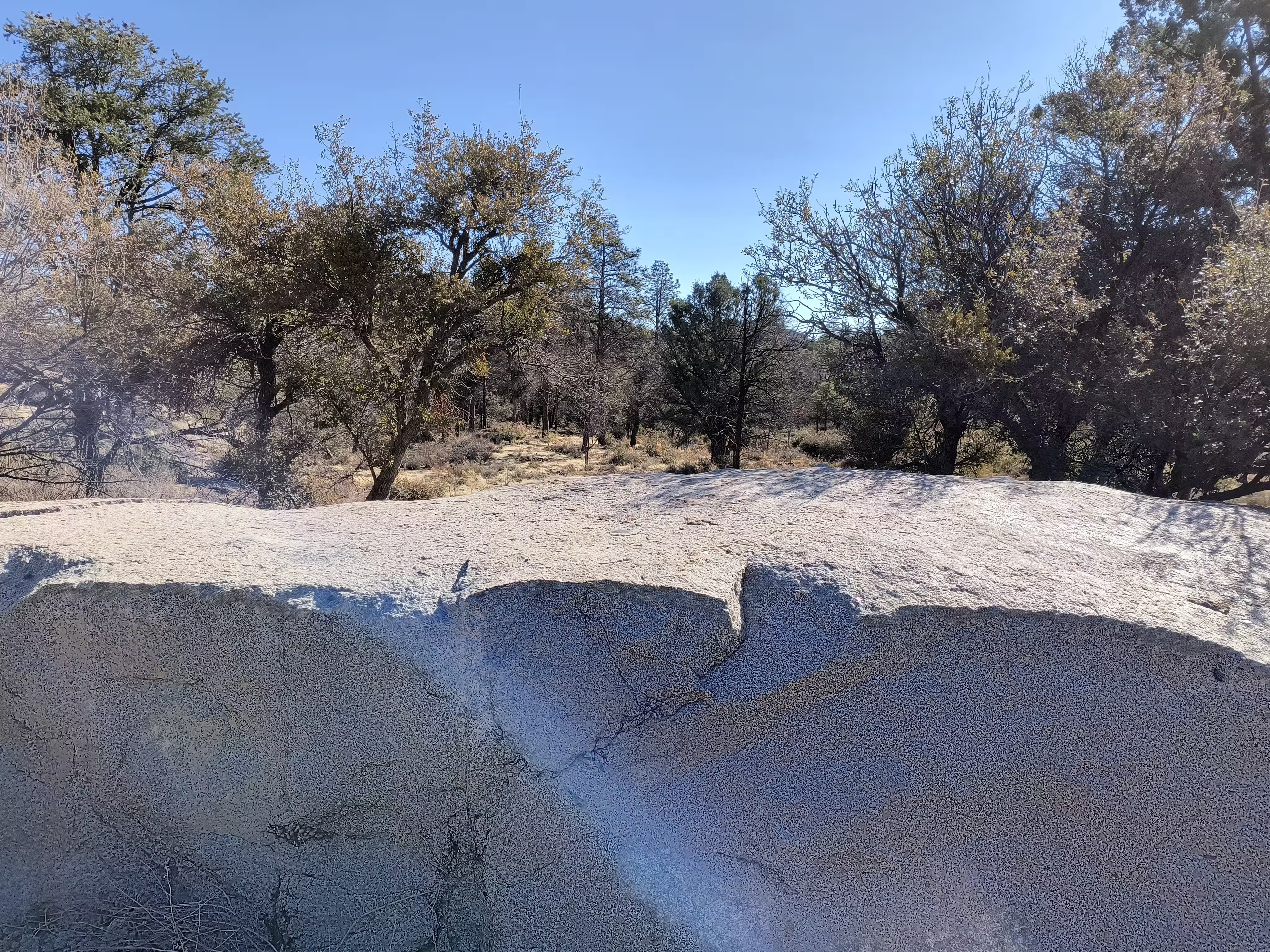
To reach the azimuth from Prescott, take the left fork at Miller Valley and Iron Springs Road onto Iron Springs Road for 2.9 mi (4.7 km) to a right fork at Granite Basin Road AKA FR 374. Here take the right fork and continue for 1.8 mi (2.9 km) to a fork, keep right and continue for 0.3 mile. At this point a large flat rock outcrop projecting a few feet will be seen to the right of the road and it is in this outcrop that the azimuth mark has been placed. This outcrop is just south of across the road from the driveway to the Yavapai Campground.
The benchmark is on a prominent large rock outcrop. It's easiest to just use the coordinates to navigate there.


