|
|
Main benchmarks recovered in good or poor condition. |
|
|
Main benchmarks that have been destroyed. |
|
|
Reference benchmarks recovered in good or poor condition. |
|
|
Reference benchmarks that have been destroyed. |
|
|
Azimuth benchmarks recovered in good or poor condition. |
|
|
Azimuth benchmarks that have been destroyed. |
|
|
A main, reference, or azimuth benchmark not searched for. |
"GRANITE"
| NGS PointID: | ET0988 |
| Reference Benchmarks: | GRANITE (C&GS) |
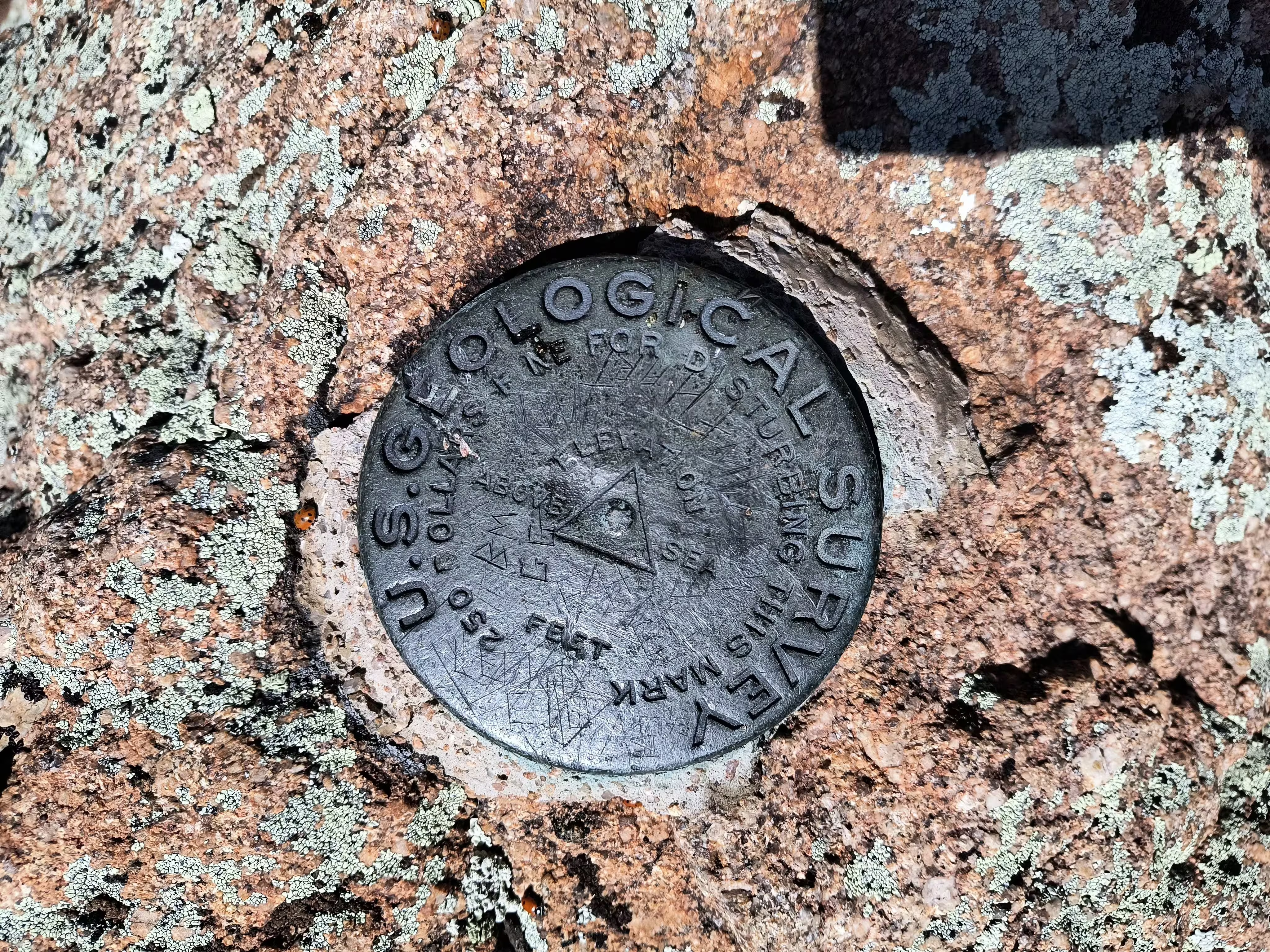
| Condition: | Dented in the middle area |
| Stamping: | none |
| Coordinates: | 34.63794042, -112.55330894 |
| Elevation: | 7632.9 ft (2326.5 m) |
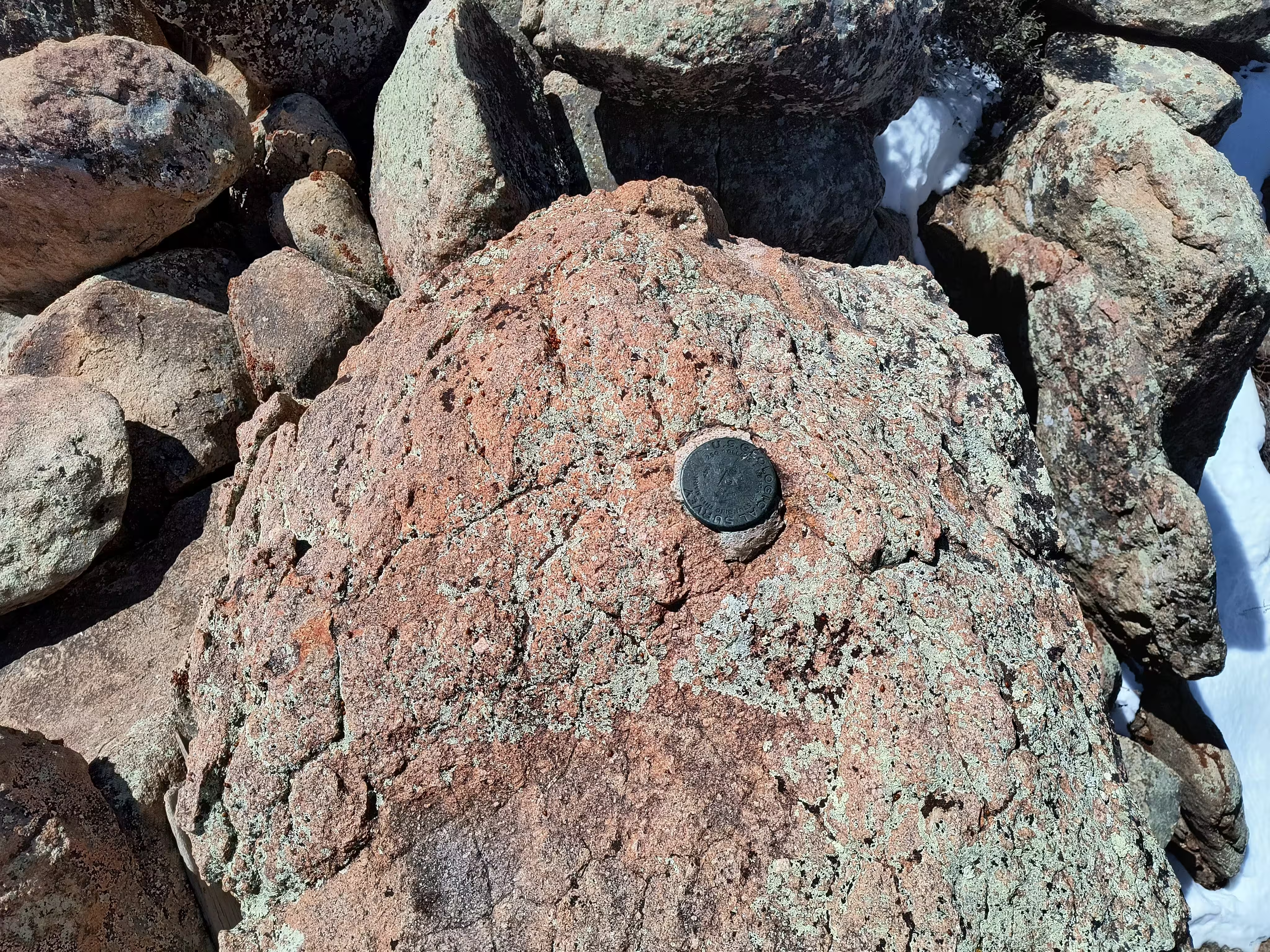
| Setting: | A rock outcrop |
| Monumentor: | USC&GS |
Datasheet Description:
On mountain of that name 9 miles northwest of Prescott. Station mark: A bronze tablet cemented in highest granite bowlder.
"GRANITE" is a benchmark monumented by the USGS in 1903 located in Yavapai County, Arizona. It is a non-dedicated reference mark for GRANITE.
There is an established trail up the mountain followed by an established bushwhacking route. When following the route well, the bushwhack can take significantly more time.
When heading off trail, DO NOT TRUST all of the cairns. Some will lead you in a desirable path, while others lead you completely off track. When in doubt, look for general landmarks you should be heading towards using knowledge of the route and use common sense to get to them.
The station is used as a reference mark for the C&GS station GRANITE.

