|
|
Main benchmarks recovered in good or poor condition. |
|
|
Main benchmarks that have been destroyed. |
|
|
Reference benchmarks recovered in good or poor condition. |
|
|
Reference benchmarks that have been destroyed. |
|
|
Azimuth benchmarks recovered in good or poor condition. |
|
|
Azimuth benchmarks that have been destroyed. |
|
|
A main, reference, or azimuth benchmark not searched for. |
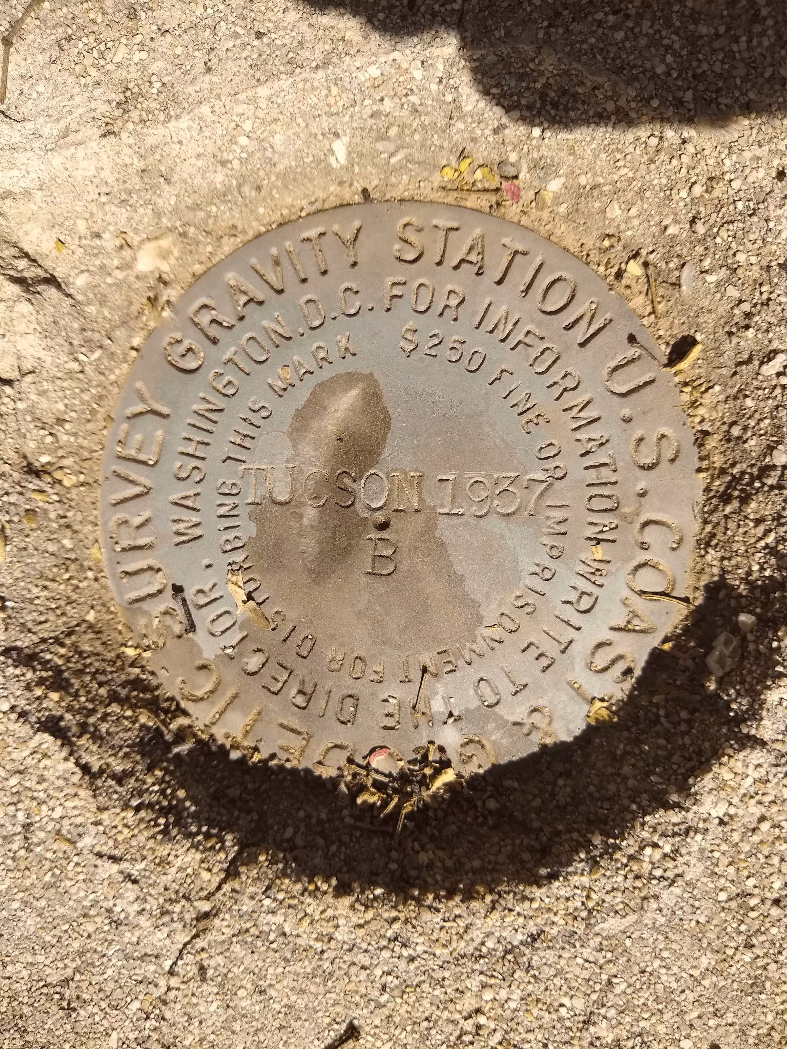
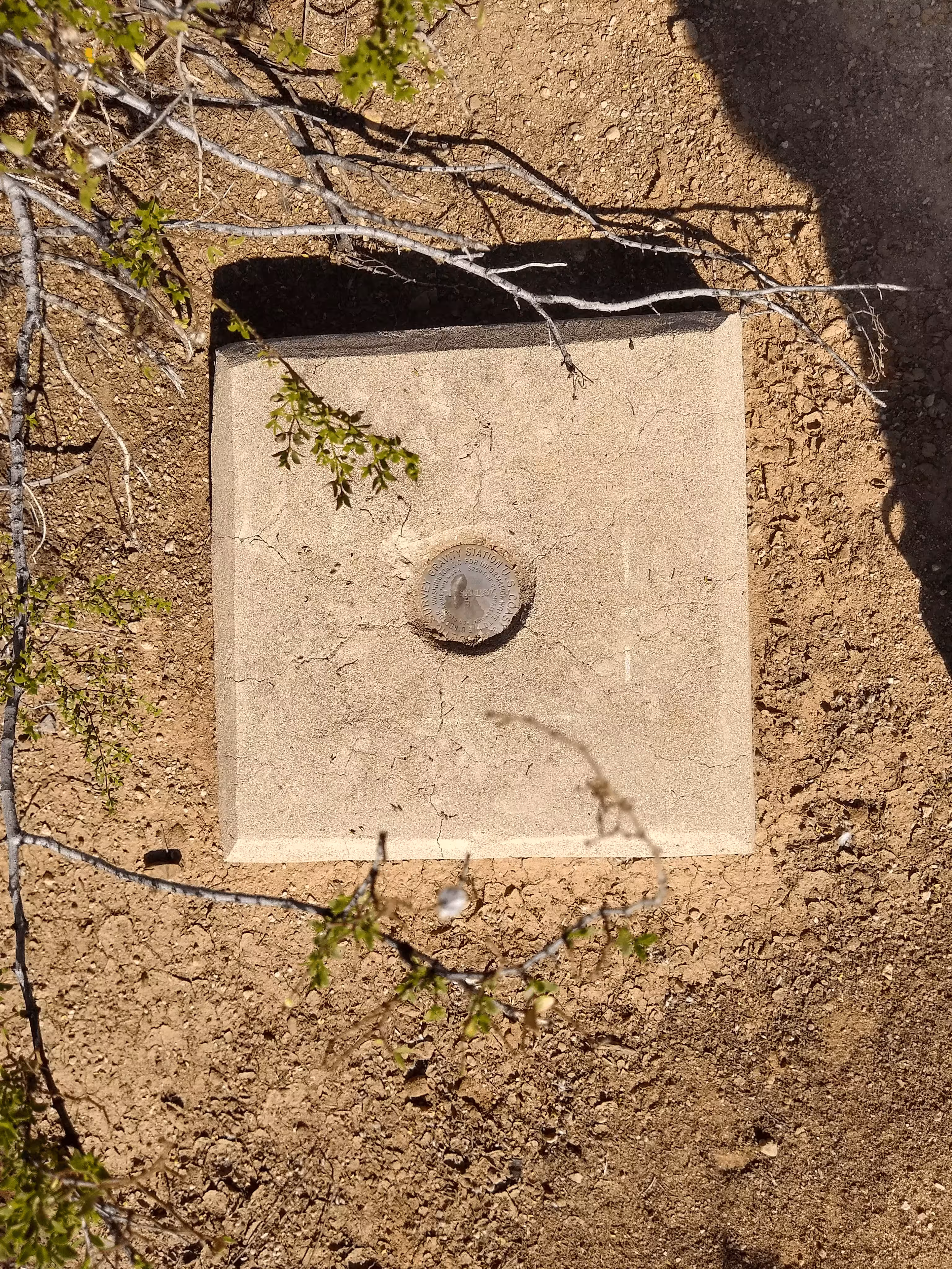
"TUCSON B"
| NGS PointID: | DE5834 |
| Condition: | A big gash/depression down the middle of the disk. |
| Stamping: | TUCSON 1937 B |
| Coordinates: | 32.246908, -110.835581 |
| Elevation: | 2546.9 ft (776.3 m) |
| Setting: | A square concrete monument |
| Monumentor: | USC&GS |
Datasheet Description:
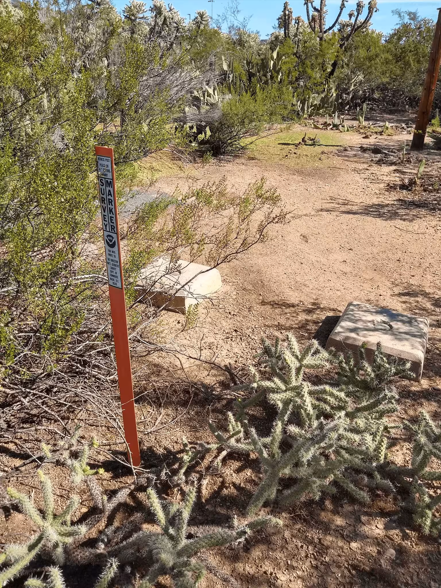
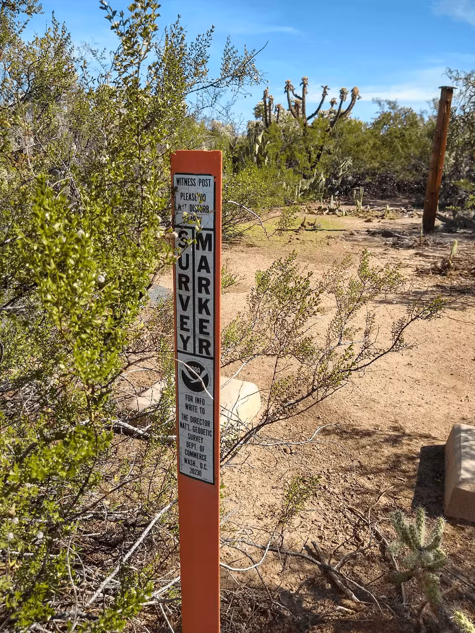
Other aliases include IGB 12020, NN 223 and U 772. Station is at abandoned USGS Tucson Magnetic Obervatory in Morris K Udall Park, Tucson, Arizona. It is 8.1 mi (13.0 km) ENE of the Pima County Courthouse. To access from I-10 exit 270, go N on Kolb Road for 10.1 mi (16.3 km). Turn E (right) onto Tanque Verde Road and go 0.72 mi (1.16 km). Turn S (right) into park and go 0.03 mi (0.05 km). Turn SE, left, onto side road after first pavillion and go 0.19 mi (0.31 km) through fence gate to old house/office area. Station is on N of two piers in center of observation area, 98 m (321.5 ft) E of S residence, 25 m (82.0 ft) N of E seismic vault, 27.0 m (88.6 ft) N of W seismic vault, 24.0 m (78.7 ft) S of wood slat building, 90.6 m (297.2 ft) NW of RM MAGNETIC AZIMUTH NO 3, 1.37 m (4.49 ft) N of TUCSON A and 1.43 m (4.69 ft) NE of witness post. Pier is 0.46 m (1.51 ft) across. Disk is 9 mm below pier top. TUCSON A and TUCSON B were formerly the same pendulum station U 772. SE, SW, SW, NE, SW, SEC 5, T14S, R15E.
"TUCSON B" is a benchmark monumented by the USC&GS in 1937 located in Pima County, Arizona. It is right next to "TUCSON A".