|
|
Main benchmarks recovered in good or poor condition. |
|
|
Main benchmarks that have been destroyed. |
|
|
Reference benchmarks recovered in good or poor condition. |
|
|
Reference benchmarks that have been destroyed. |
|
|
Azimuth benchmarks recovered in good or poor condition. |
|
|
Azimuth benchmarks that have been destroyed. |
|
|
A main, reference, or azimuth benchmark not searched for. |
"TAMARACK NO 3"
| NGS PointID: | CH2064 |
| Reference Benchmarks: | TAMARACK |
| Condition: | Ware |
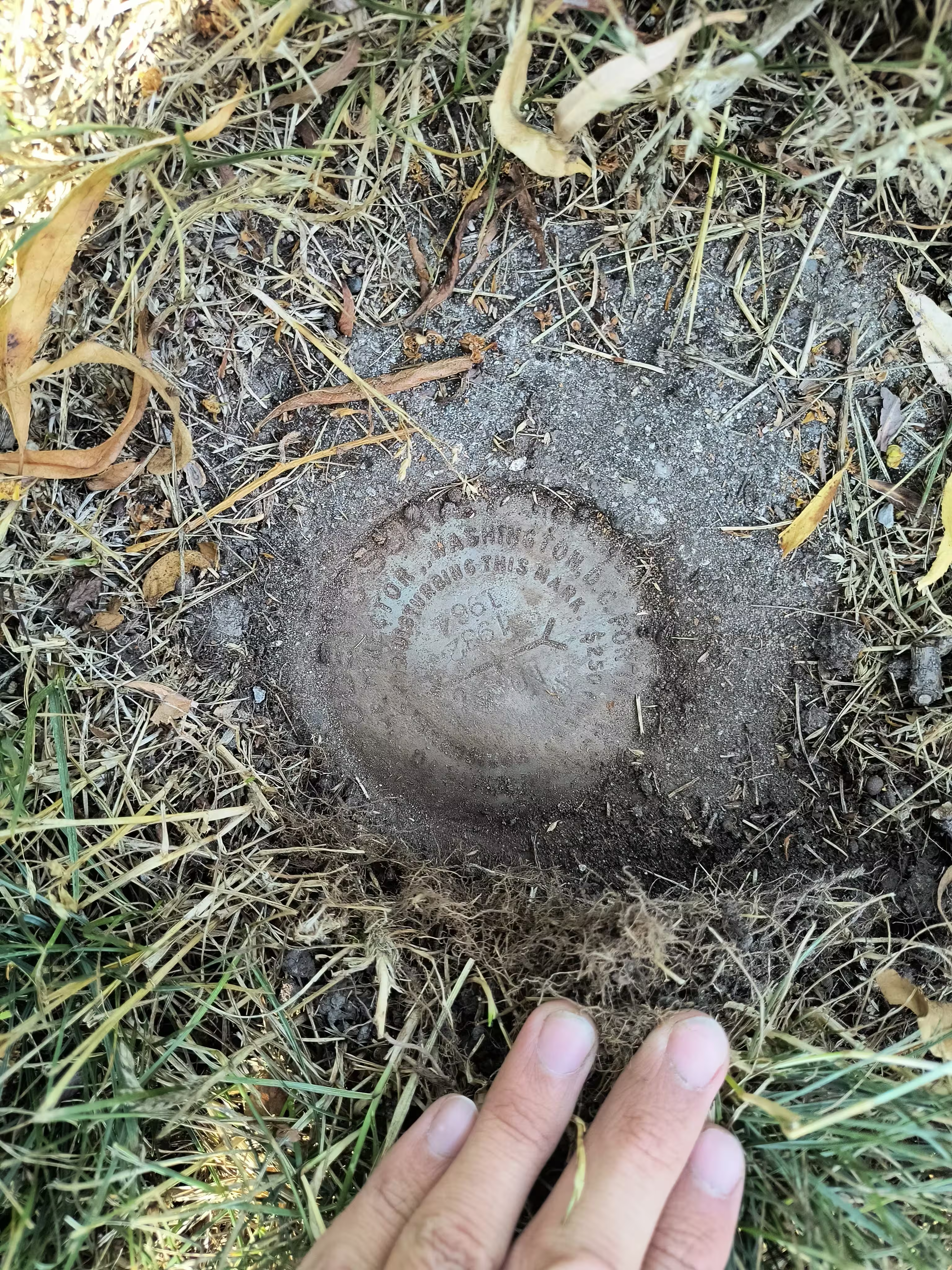
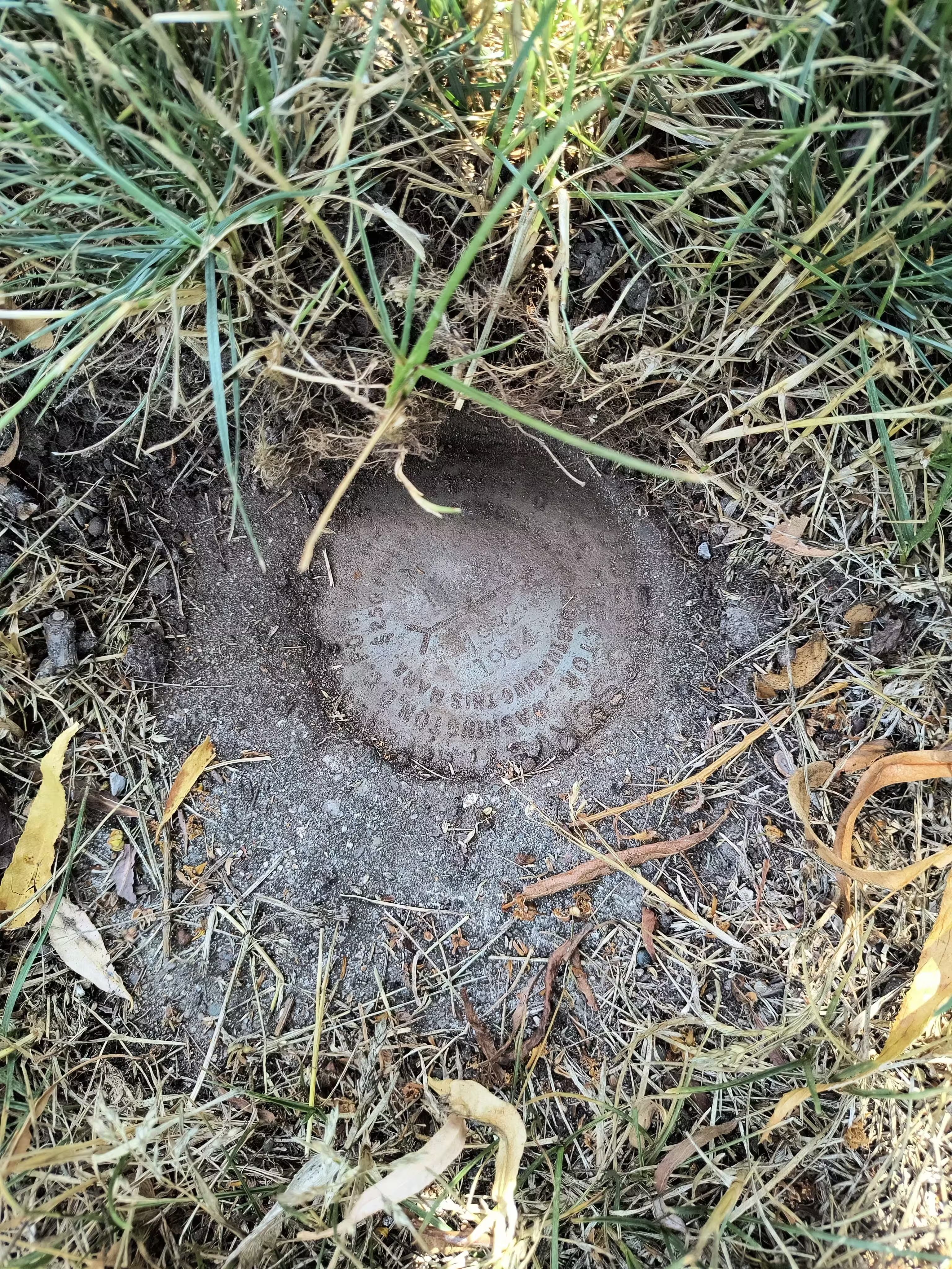
| Stamping: | TAMARACK NO 3 1932 1964 |
| Coordinates: | 44.24017, -86.33373 |
| Elevation: | 682.35 ft (207.98 m) |
| Setting: | A concrete monument |
| Monumentor: | USC&GS |
Datasheet Description:
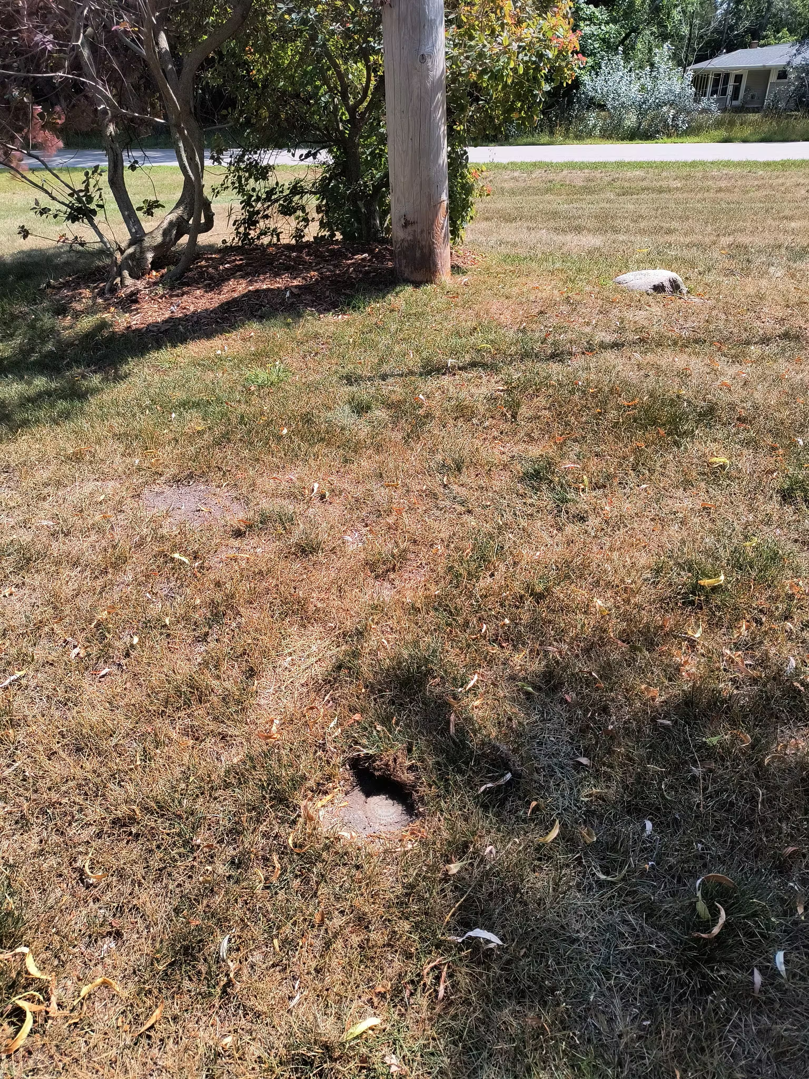
R.M. stamped TAMARACK NO. 3 1932 1964, flush, is 136.59 feet (41.633 M.) N 87 DEG 24 MIN E from the station, 34 feet N of center line of Secenth St., 9-1/2 feet N of power pole, 8 feet W of center line of alley, one foot W of the line of poles, and 1.6 feet SE of steel witness post.
"TAMARACK NO 3" is a benchmark monumented by the USC&GS in 1964 located in Leelanau County, Michigan. It is a dedicated reference mark for TAMARACK.
The mark was just below ground level but was exposed because it was too close to the surface.


