|
|
Main benchmarks recovered in good or poor condition. |
|
|
Main benchmarks that have been destroyed. |
|
|
Reference benchmarks recovered in good or poor condition. |
|
|
Reference benchmarks that have been destroyed. |
|
|
Azimuth benchmarks recovered in good or poor condition. |
|
|
Azimuth benchmarks that have been destroyed. |
|
|
A main, reference, or azimuth benchmark not searched for. |
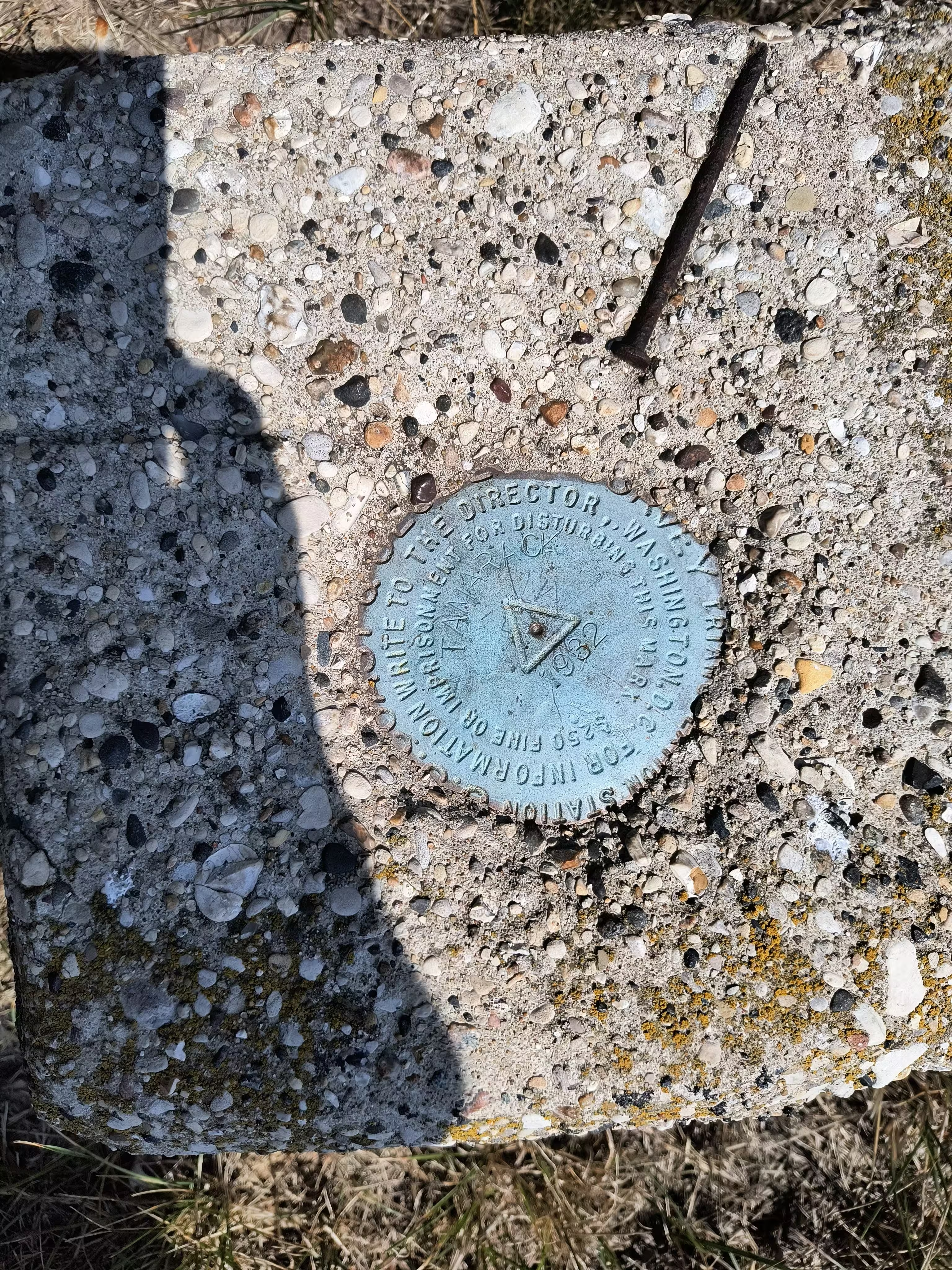
"TAMARACK"
| NGS PointID: | PM0570 |
| Reference Benchmarks: | TAMARACK NO 1, TAMARACK NO 2, TAMARACK NO 3 |
| Azimuth Benchmark: | TAMARACK 1932 |
| Condition: | Minor scratches and ware. |
| Stamping: | TAMARACK 1932 |
| Coordinates: | 44.24015660, -86.33425084 |
| Elevation: | 684.4 ft (208.6 m) |
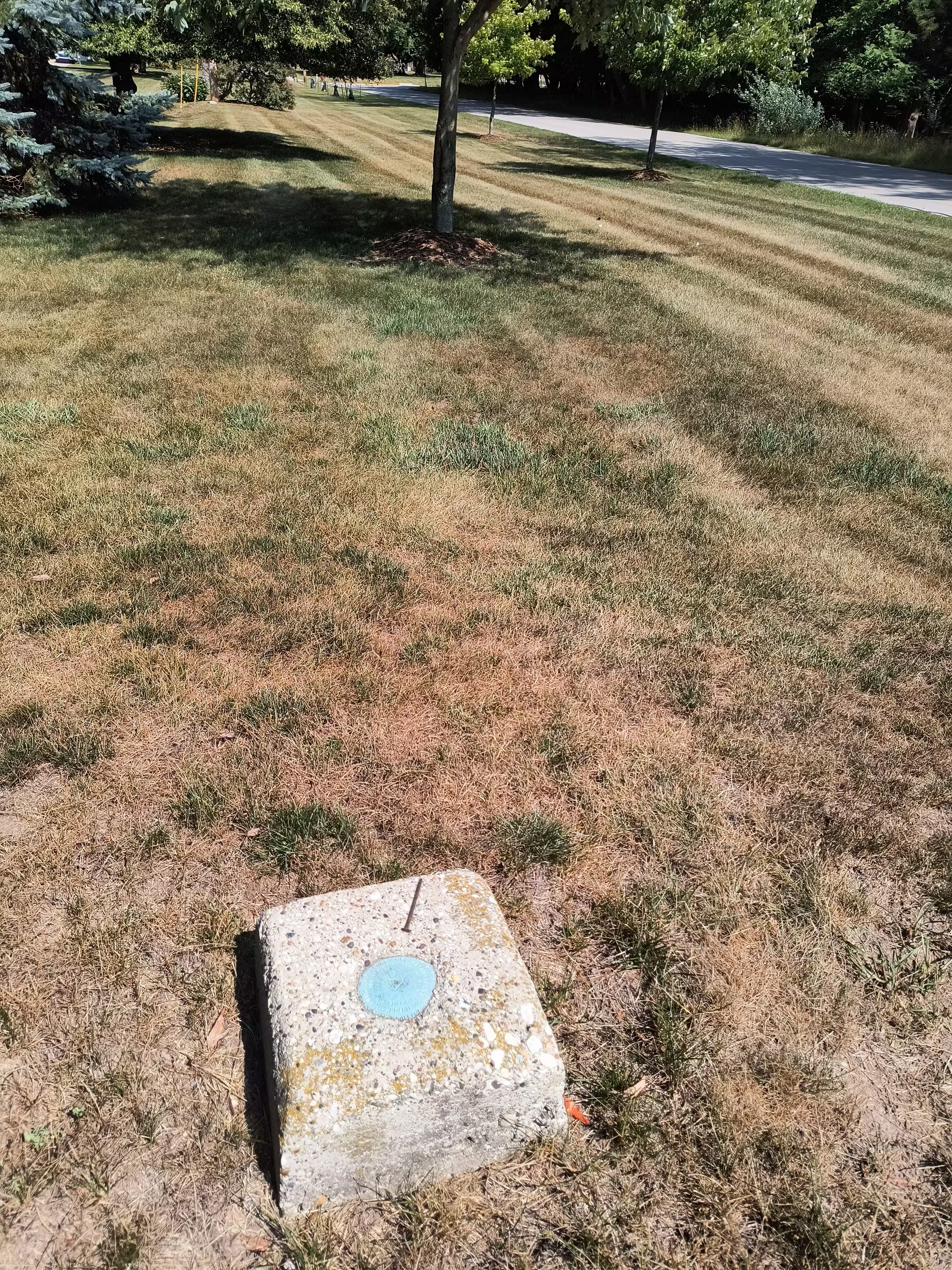
| Setting: | A square concrete monument |
| Monumentor: | USC&GS |
Datasheet Description:
In southwest corner of Manistee, near southwest corner of fence surrounding lawn just back of country club stables, 10 meters (33 feet) east of center line of Tamarack Avenue, and 13.5 meters (44 feet) west of 12-inch maple tree. To reach from downtown Manistee, follow U.S. Route 31 south to first street, proceed west 0.45 mile on first street to spruce street, proceed south 0.25 mile on Spruce Street to Bryant Avenue, proceed west 0.25 mile on Bryant Avenue to Tamarack Avenue, and proceed south 0.15 mile on Tamarack Avenue to top of hill and station site. Surface and underground marks are standard station disks in concrete. Upper mark projects 8 inches. Reference and azimuth marks are standard reference disks in concrete.
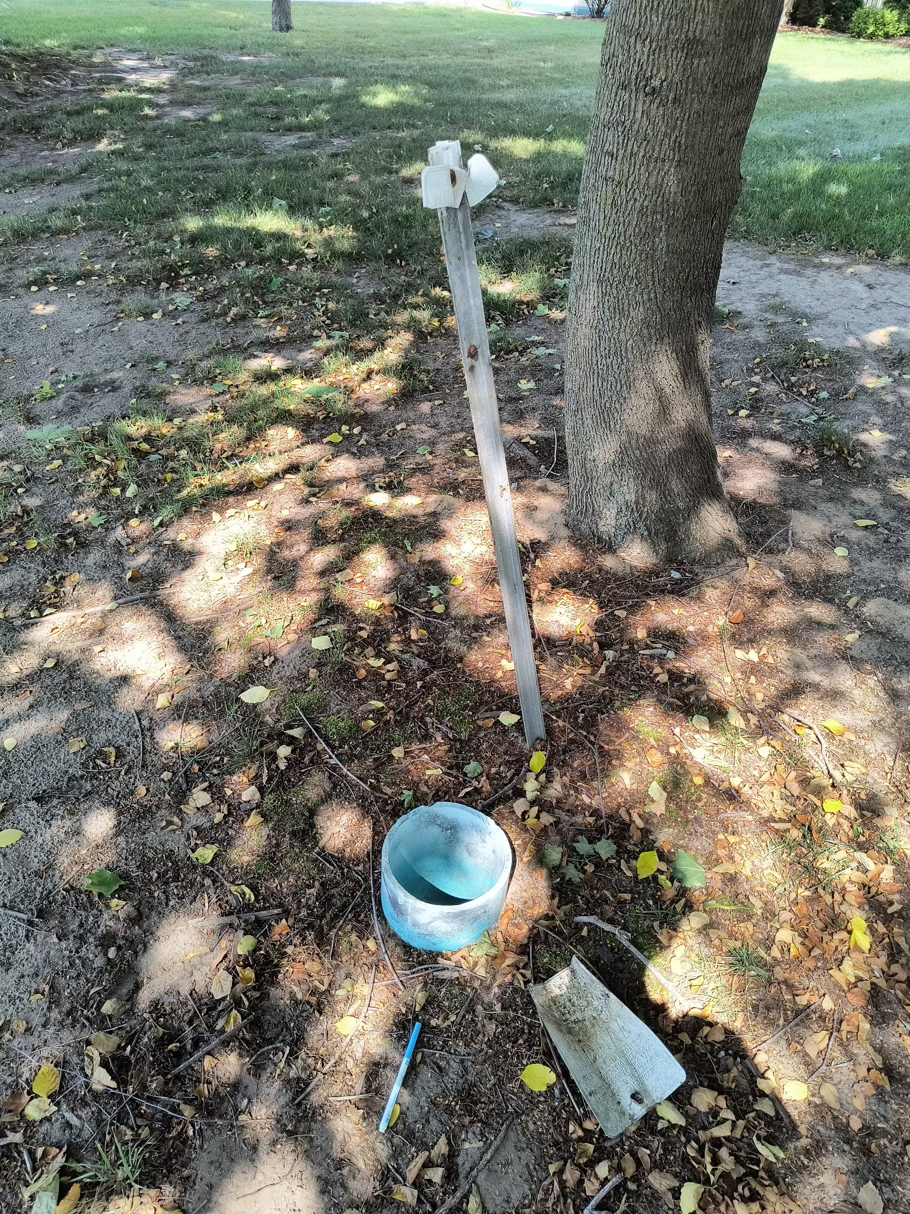
No. 1 projects 5 inches, is 0.5 meter (2 feet) west of fence line, 9.5 meters (31 feet) east of center line of Tamarack Avenue, 25 meters (82 feet) southwest of southwest corner of country club stables, and 133.75 feet from station N 00 deg 52 min E.
No. 2 projects 5 inches, is in old fence corner, 18.8 meters (62 feet) southwest of southwest iron fence corner post of fence inclosing flower garden, and 40.20 meters (131.9 feet) from station S 69 deg 59 min E.
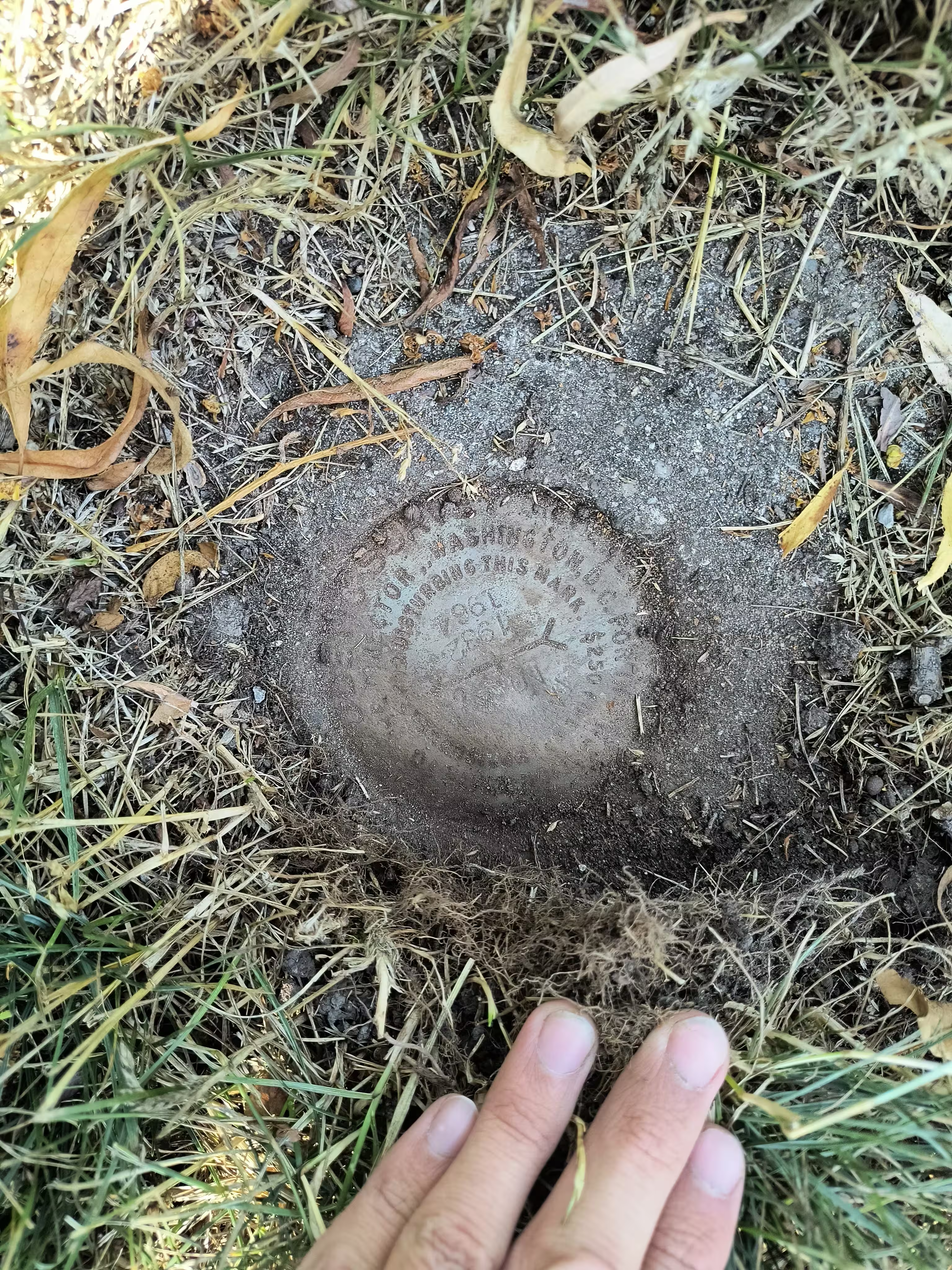
R.M. stamped TAMARACK NO. 3 1932 1964, flush, is 136.59 feet (41.633 M.) N 87 DEG 24 MIN E from the station, 34 feet N of center line of Secenth St., 9-1/2 feet N of power pole, 8 feet W of center line of alley, one foot W of the line of poles, and 1.6 feet SE of steel witness post.
Azimuth mark projects 2 inches, is in right-of-way of narrow road, 12.5 meters (41 feet) west of north-south fence line, 11.5 meters (38 feet) south of center line of road, 0.3 meter (1 foot) north of fence line, and 0.2 mile from station S 60 deg 40 min W. Bearing from station to manistee, breakwater light, is N 45 deg 60 min W. And to Manistee, pierhead light, N 38 deg 05 min W.
"TAMARACK" is a benchmark monumented by the USC&GS in 1932 located in Manistee County, Michigan. It had 3 dedicated reference marks, one of which has been destroyed, and a dedicated azimuth, which has an unknown status.
RM 3 was just below ground level but was exposed. There's a nail on the monument that points towards RM 2. RM 2 was destroyed when browning avenue was built. RM 1 is about straight north of station mark. I never positively recovered RM 1 but there was a blue pipe placed right next to the witness post approximately where the mark was described. The pipe was filled with dirt and spiders. The witness post sign had broken off.


