|
|
Main benchmarks recovered in good or poor condition. |
|
|
Main benchmarks that have been destroyed. |
|
|
Reference benchmarks recovered in good or poor condition. |
|
|
Reference benchmarks that have been destroyed. |
|
|
Azimuth benchmarks recovered in good or poor condition. |
|
|
Azimuth benchmarks that have been destroyed. |
|
|
A main, reference, or azimuth benchmark not searched for. |
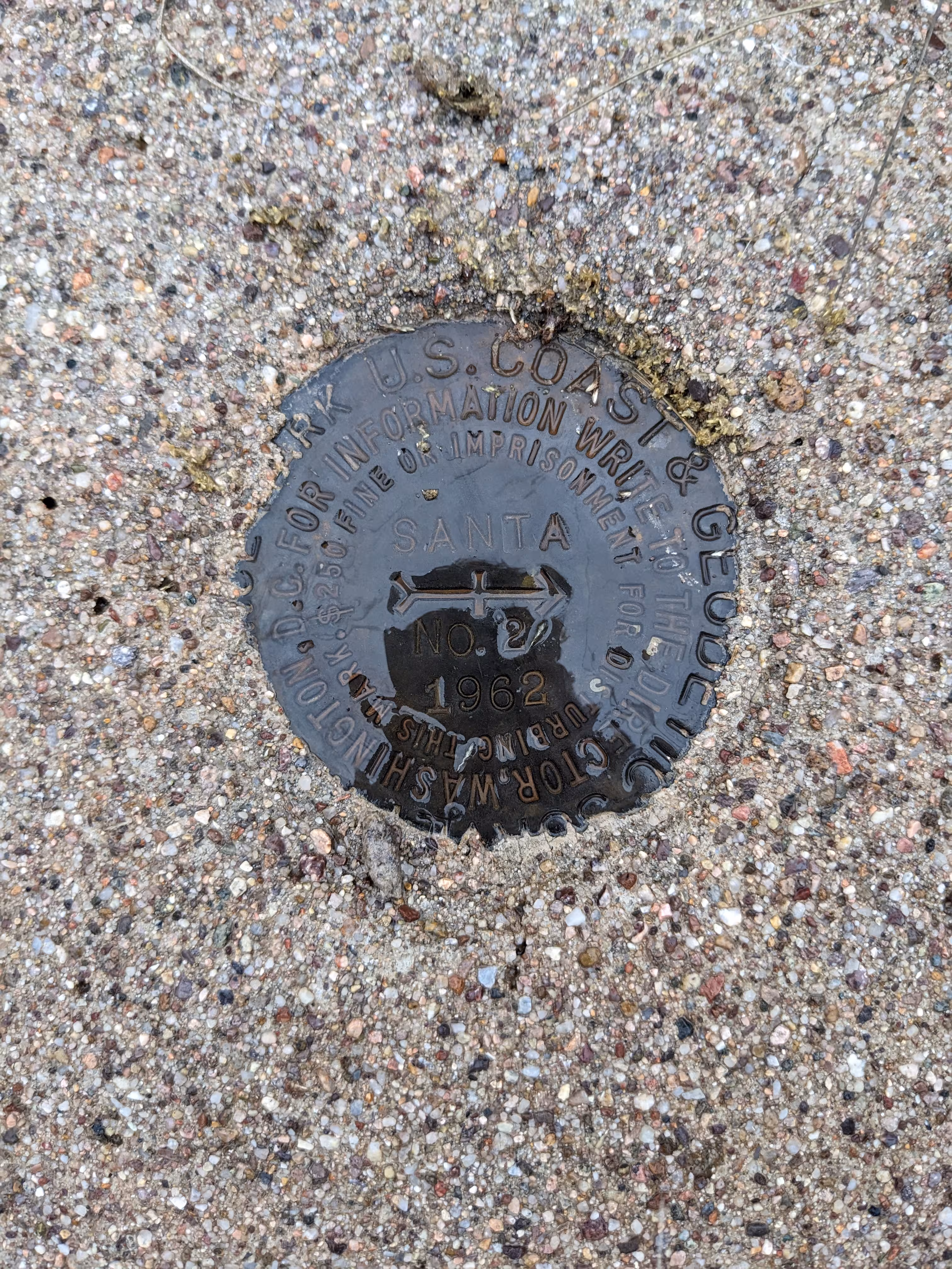
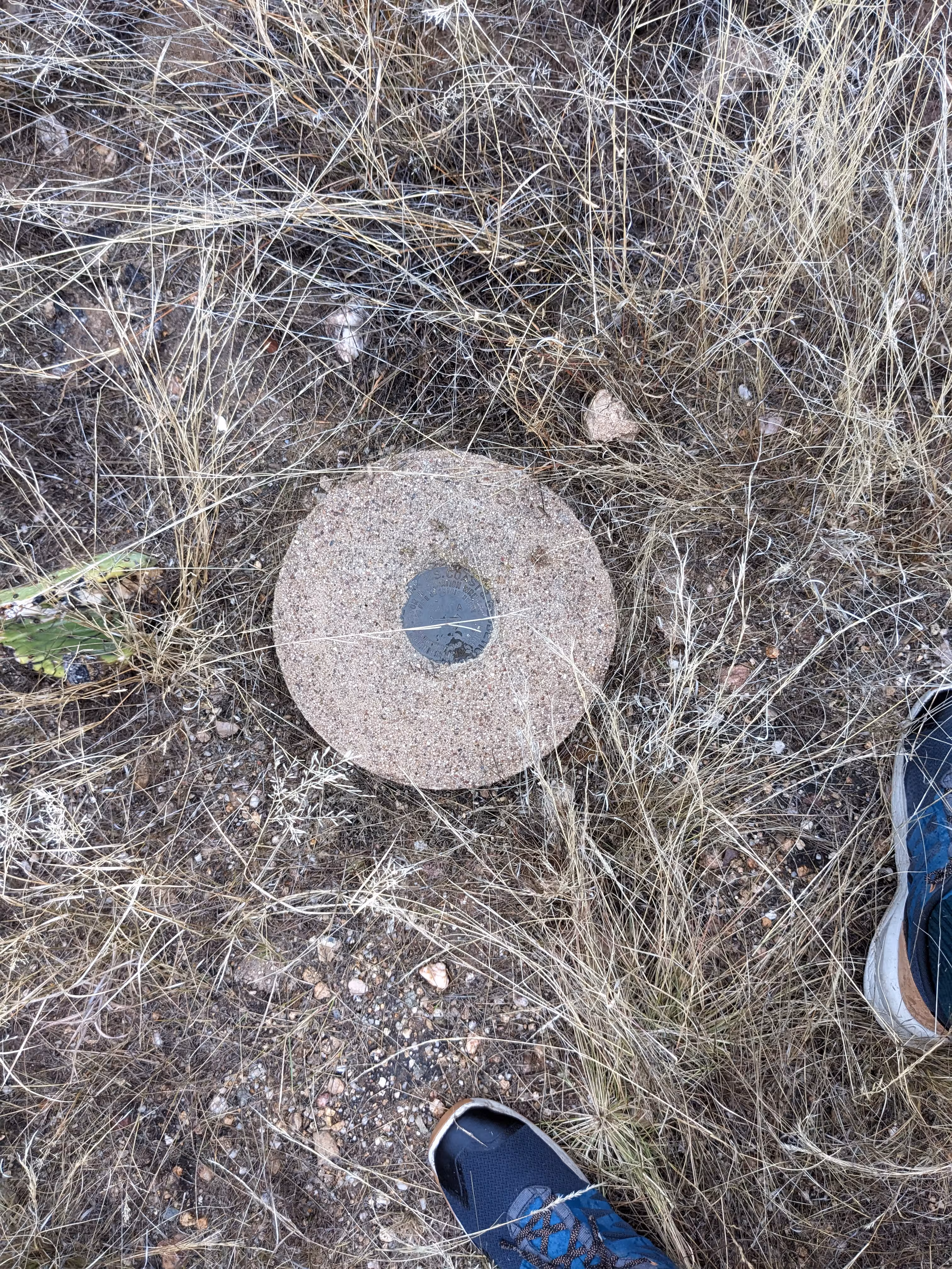
"SANTA NO 2"
| NGS PointID: | CZ1650 |
| Reference Benchmarks: | SANTA, SANTA NO 1 |
| Condition: | Minor ware. |
| Stamping: | SANTA NO 2 1962 |
| Coordinates: | 32.598471, -110.887690 |
| Elevation: | 3676.12 ft (1120.48 m) |
| Setting: | Circular conrete monument |
| Monumentor: | USC&GS |
Datasheet Description:
Reference mark 2, a standard disk stamped SANTA NO 2 1962, is set in the top of a cylindrical concrete monument, 12 inches in diameter, projection 1-inch above the surface of the ground. It is about the same elevation as the station mark.
"SANTA NO 2" is a benchmark monumented by the USC&GS in 1962 located in Pinal County, Arizona. It is a dedicated reference mark for SANTA.
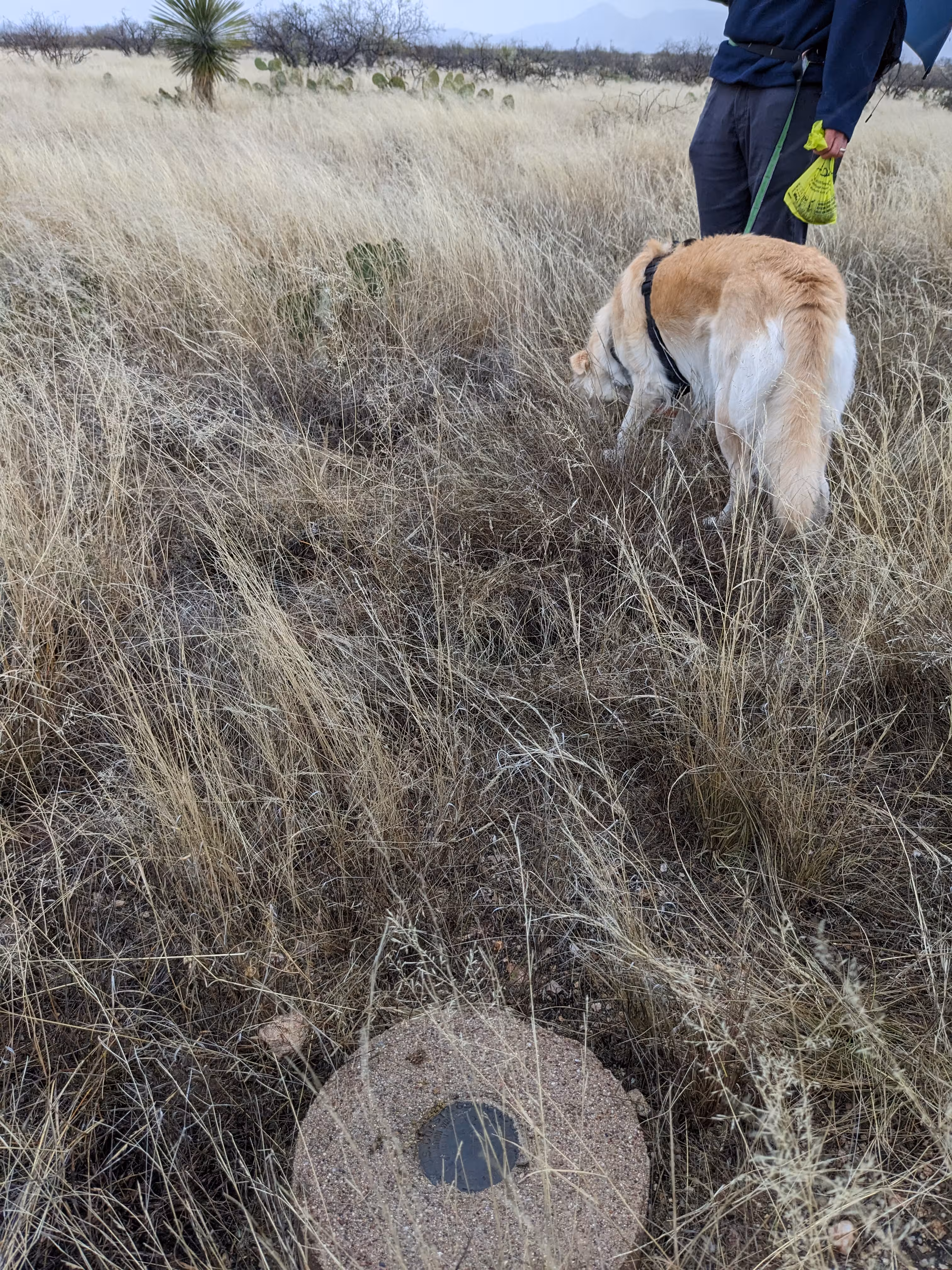
The best way to get to "SANTA" is to enter the Saddlebrooke Ranch community and turn right onto Robson Circle. Stop at the end of the pavement and embark on the gravel "emergency road". There will be a gate but it was not locked. Continue from the gate for 1,700 feet along the road. Then head south to the the benchmark. A height of light from the 1977 recovery of the station was found nearby the station.
"SANTA NO 2" is located 26.037 feet or 7.936 meters 285 degrees from the main benchmark. It is located at about the same elevation than the station.