|
|
Main benchmarks recovered in good or poor condition. |
|
|
Main benchmarks that have been destroyed. |
|
|
Reference benchmarks recovered in good or poor condition. |
|
|
Reference benchmarks that have been destroyed. |
|
|
Azimuth benchmarks recovered in good or poor condition. |
|
|
Azimuth benchmarks that have been destroyed. |
|
|
A main, reference, or azimuth benchmark not searched for. |
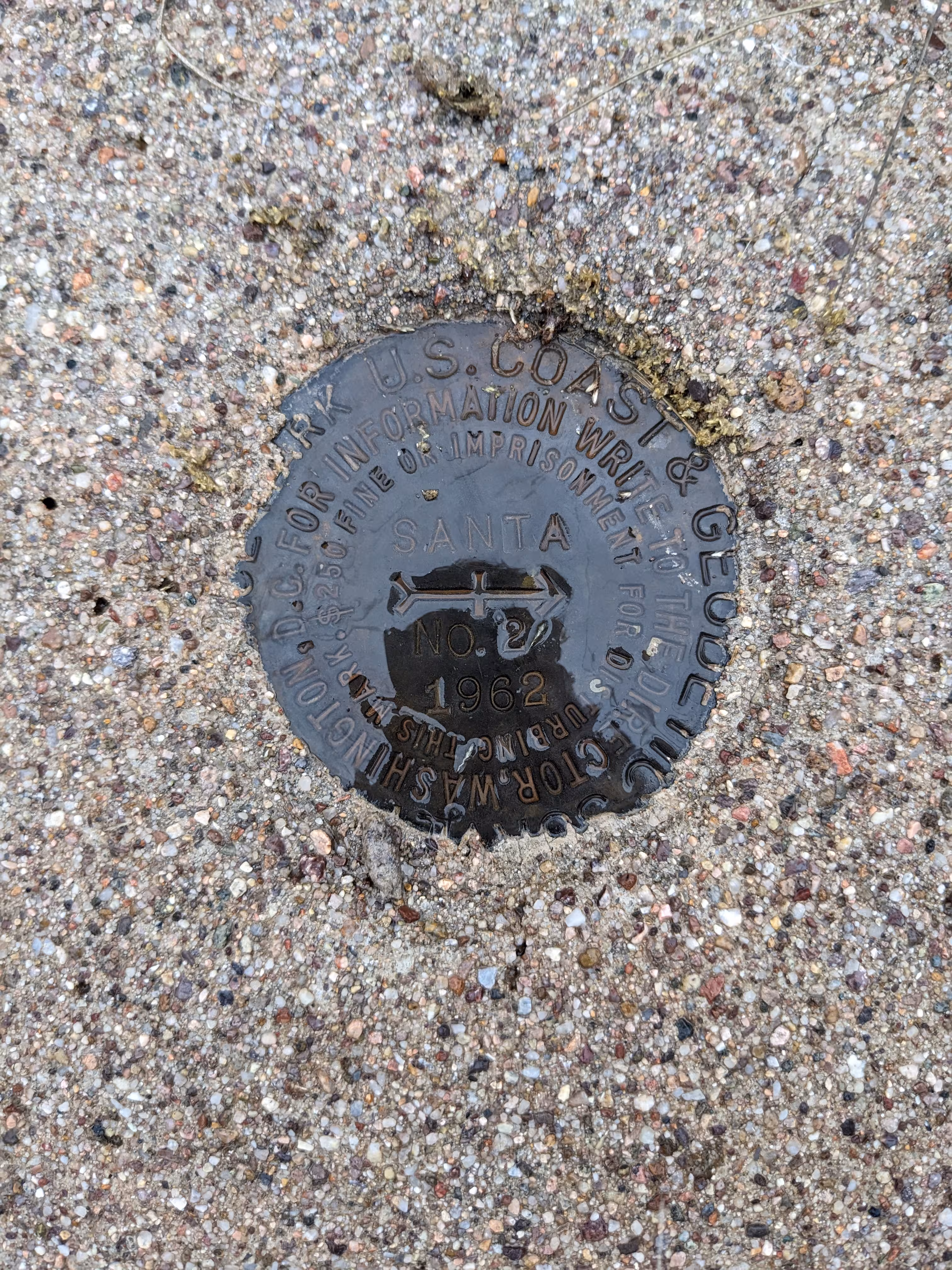
"SANTA"
| NGS PointID: | CZ1648 |
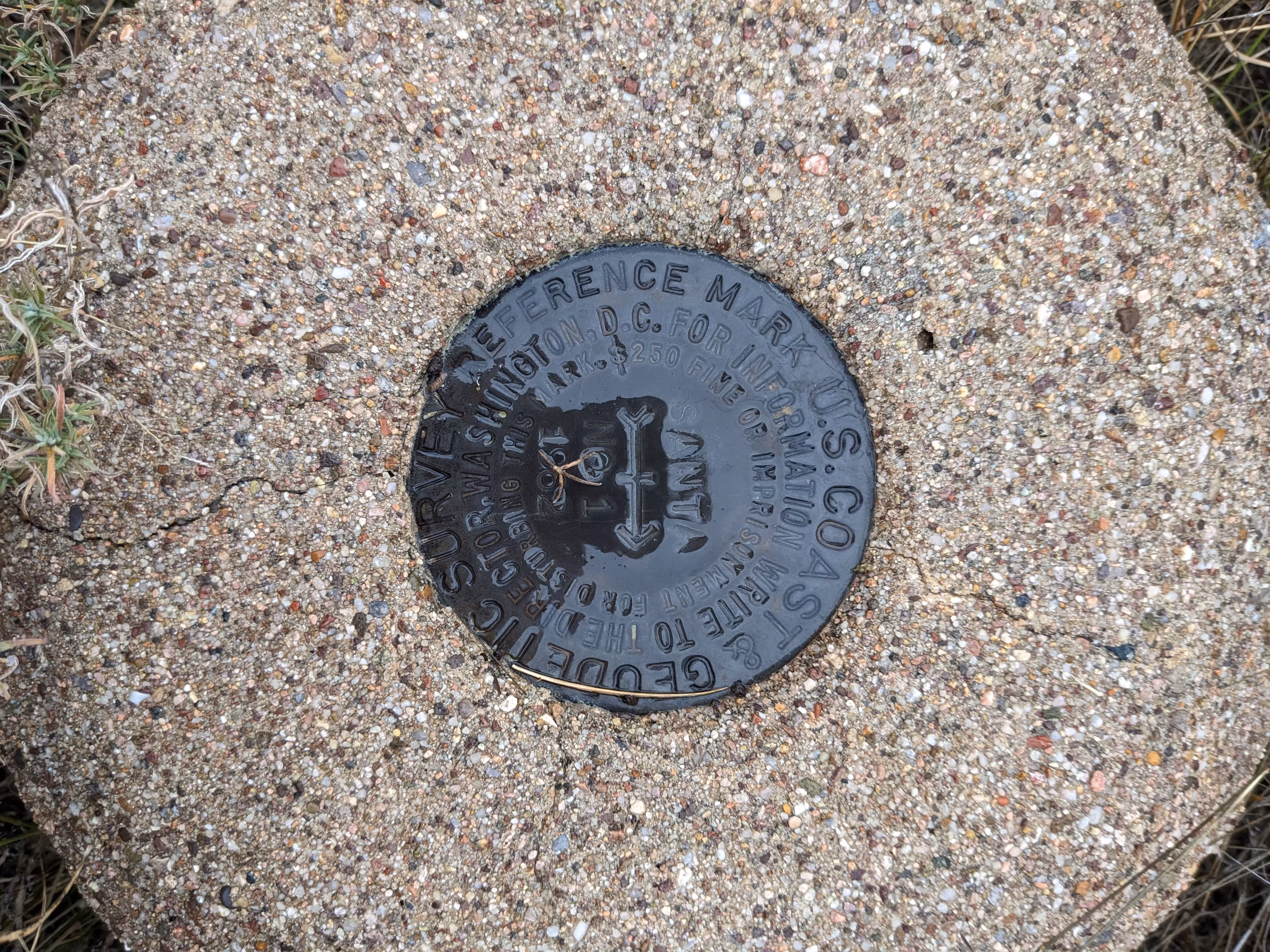
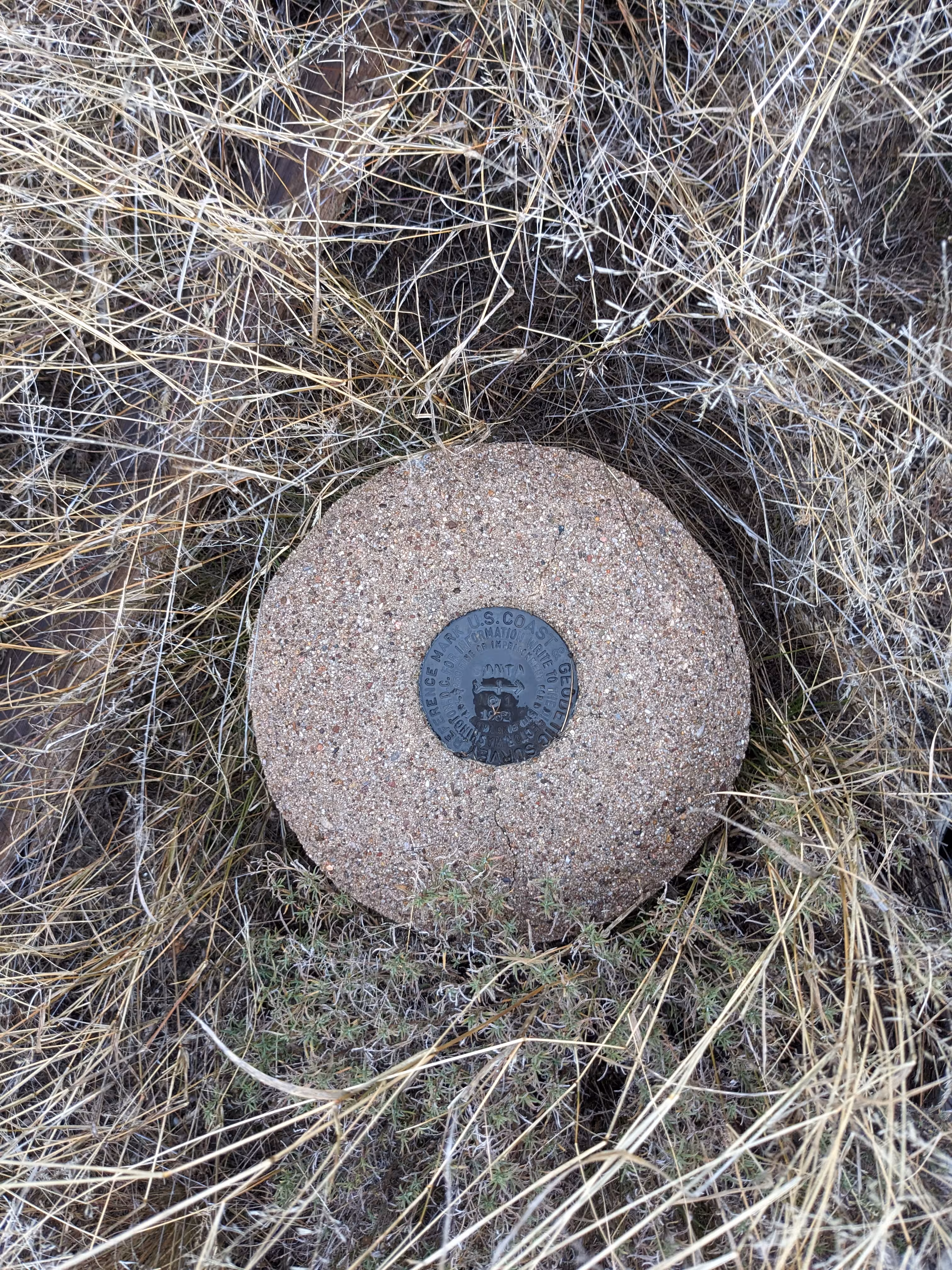
| Reference Benchmarks: | SANTA NO 1, SANTA NO 2 |
| Condition: | Minor ware. |
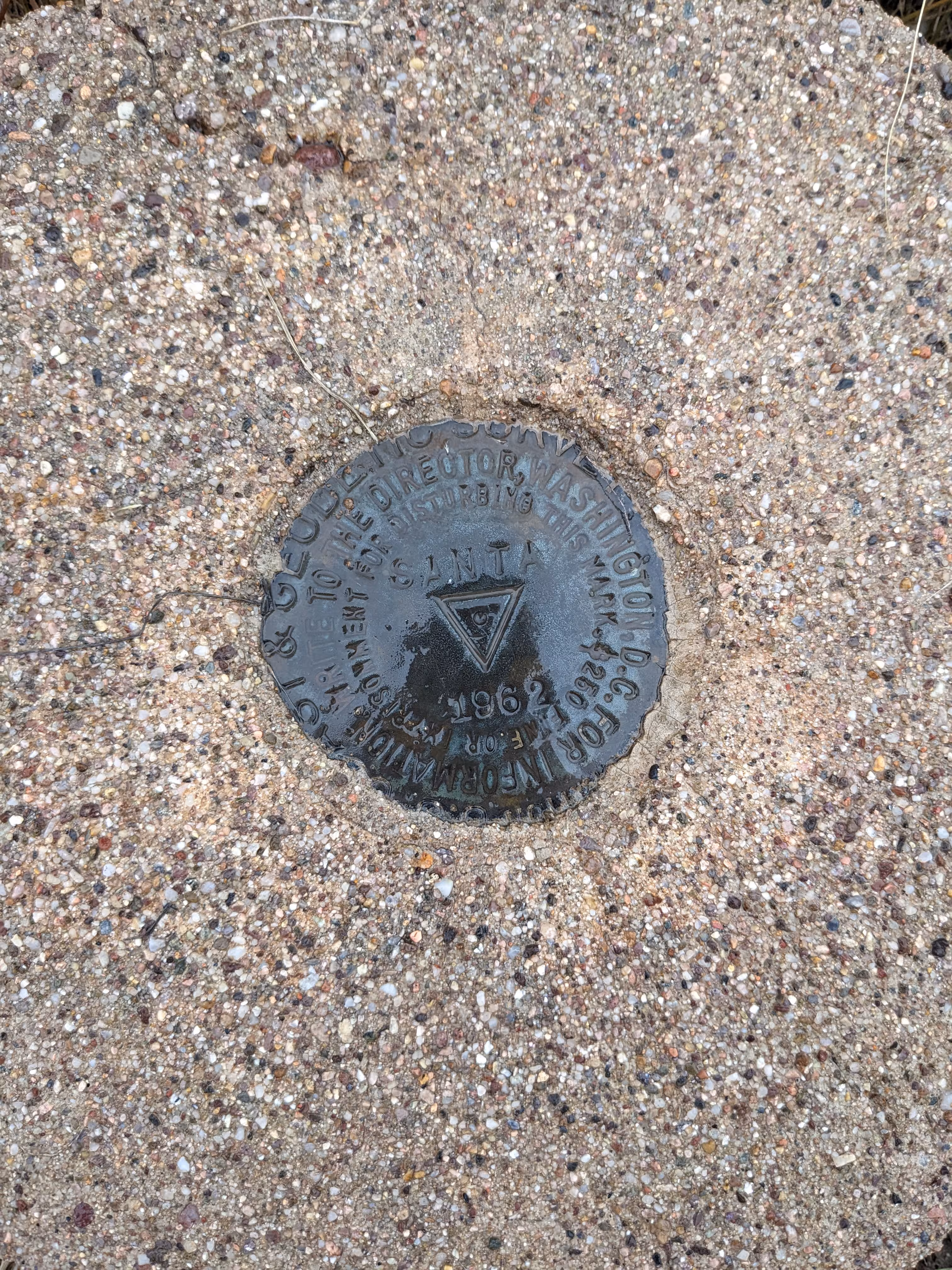
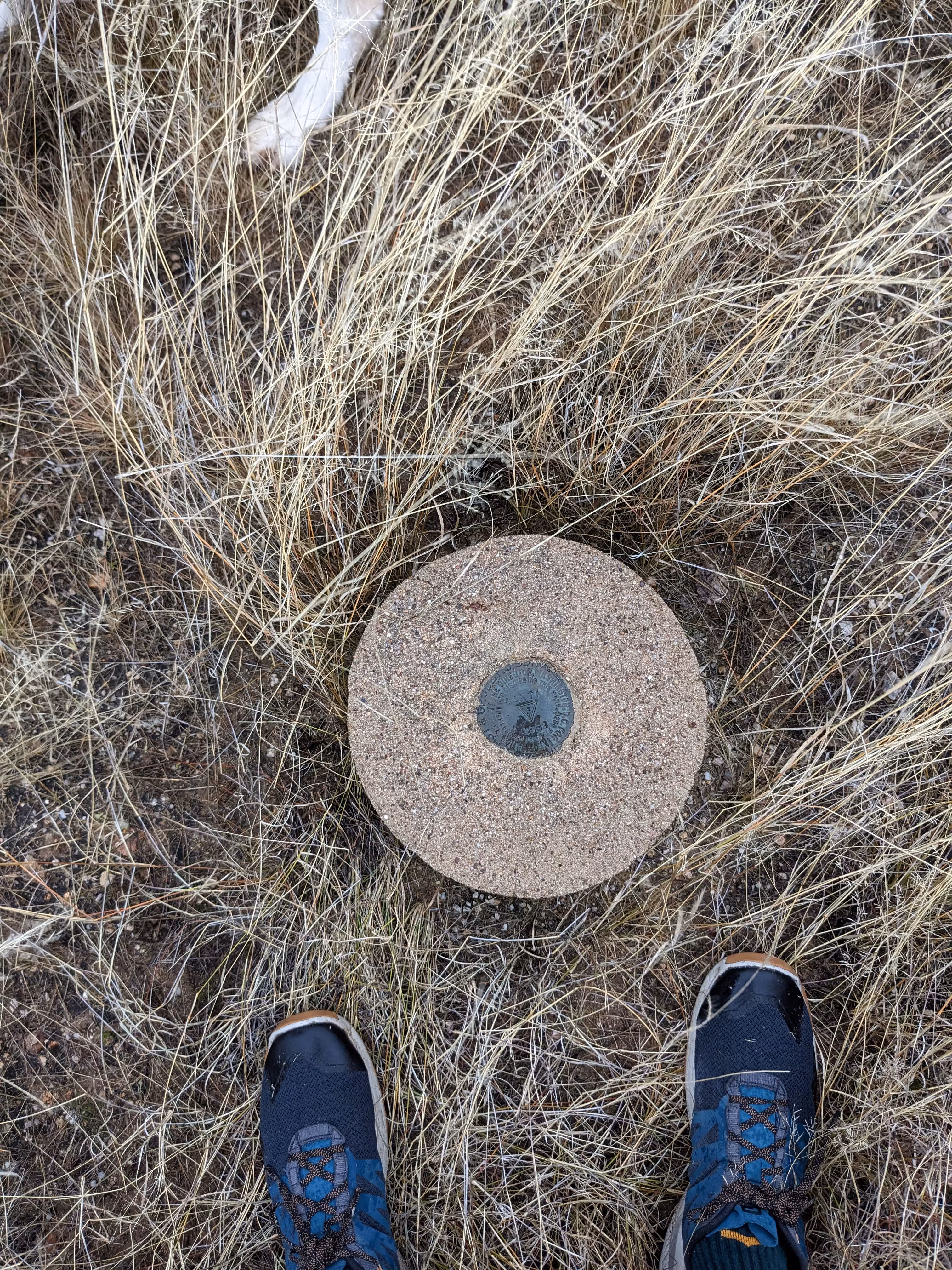
| Stamping: | SANTA 1962 |
| Coordinates: | 32.598452, -110.887608 |
| Elevation: | 3676.38 ft (1120.56 m) |
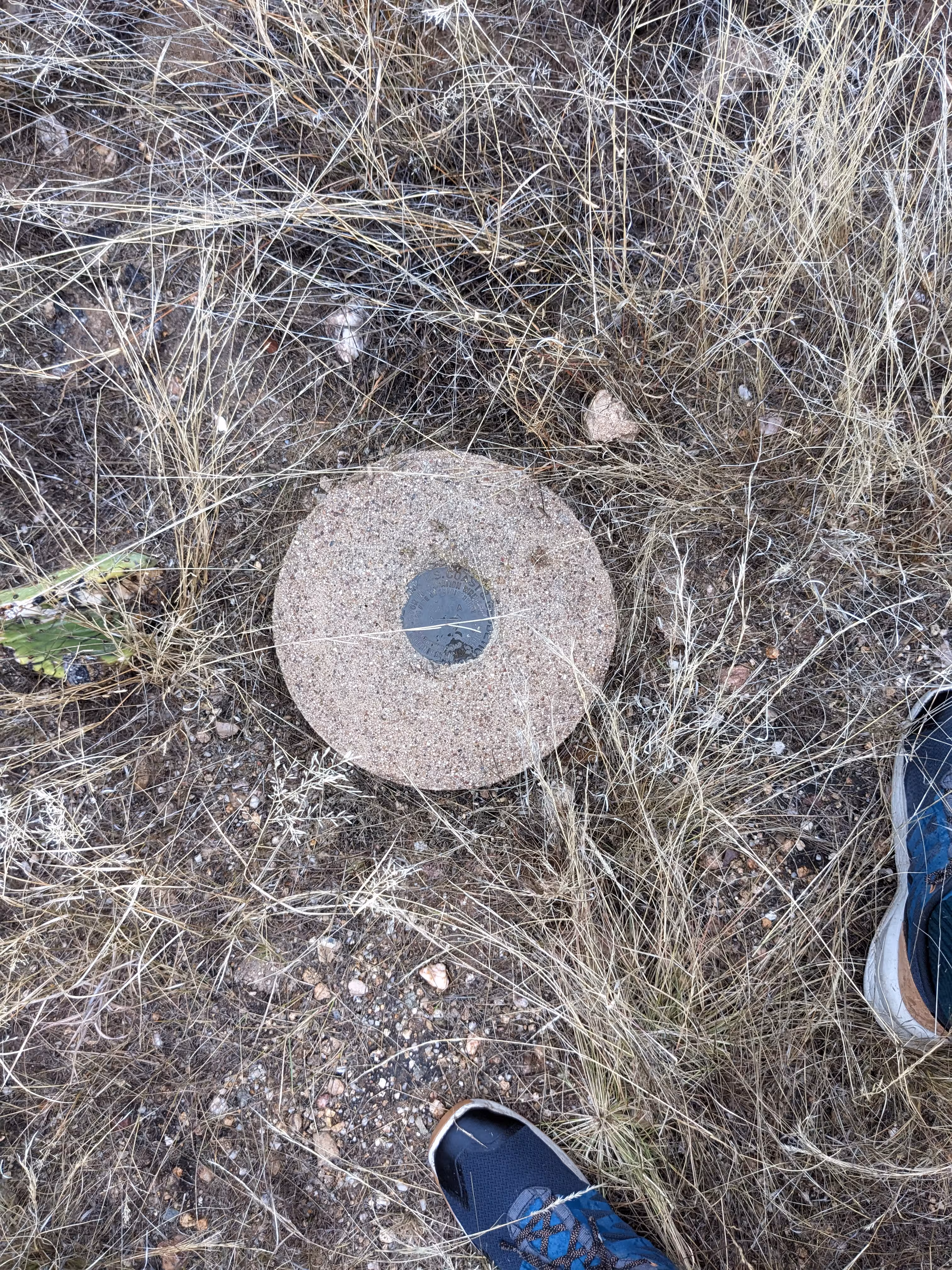
| Setting: | Circular conrete monument |
| Monumentor: | USC&GS |
Datasheet Description:
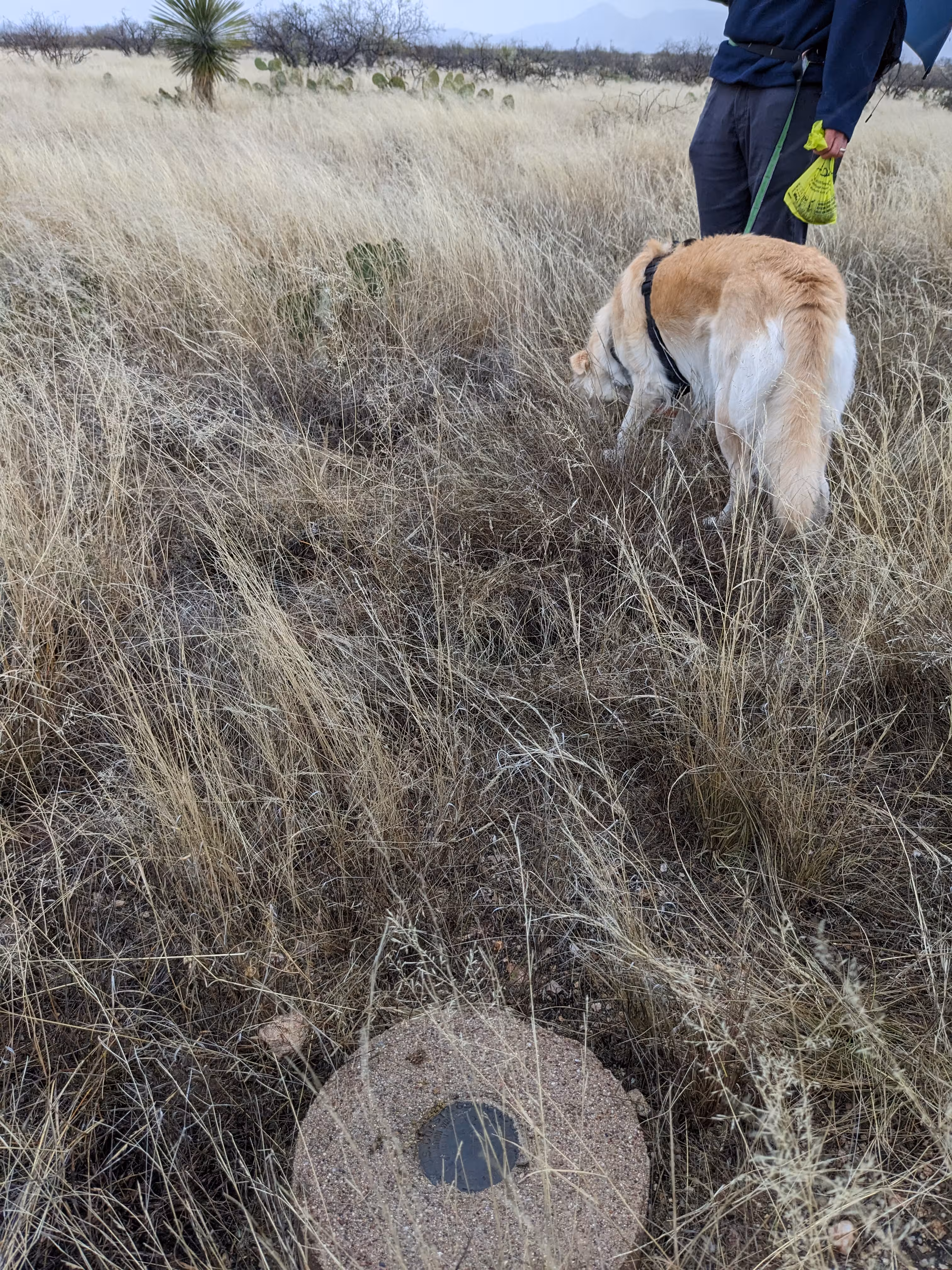
The station is 26 miles north-northeast of Tucson, 4 miles northeast of Oracle Junction, 1/4 mile northwest of State Highway 77, on rolling range land which drains west into Big Wash.
To reach the station from the junction of U.S. highways 80 and 89 and State Highway 77 at Oracle Junction, about 23 miles north of Tucson, drive northeast on State Highway 77 for 3.85 miles to a macadam surfaced side road on the left. Continue northeast on the highway for 0.95 mile to a bladed side road on the left. Turn left, cross over a cattle guard, thence turn left onto a track road and drive southwest and west on the track road for 1.0 mile to the station.
Surface and underground-station marks are standard disks, each stamped SANTA 1962. The surface-station mark is set in the top of a cylindrical concrete monument, 12 inches in diameter, projecting 1-inch above the surface of the ground. It is 100 yards south of a wash, 142.5 feet northeast of a fence corner and 4.5 feet west of a wooden witness post with a metal sign attached.
Reference mark 1, a standard disk stamped SANTA NO 1 1962, is set in the top of a cylindrical concrete monument, 12 inches in diameter, projecting 8 inches above the surface of the ground. It is about the same elevation as the station mark.
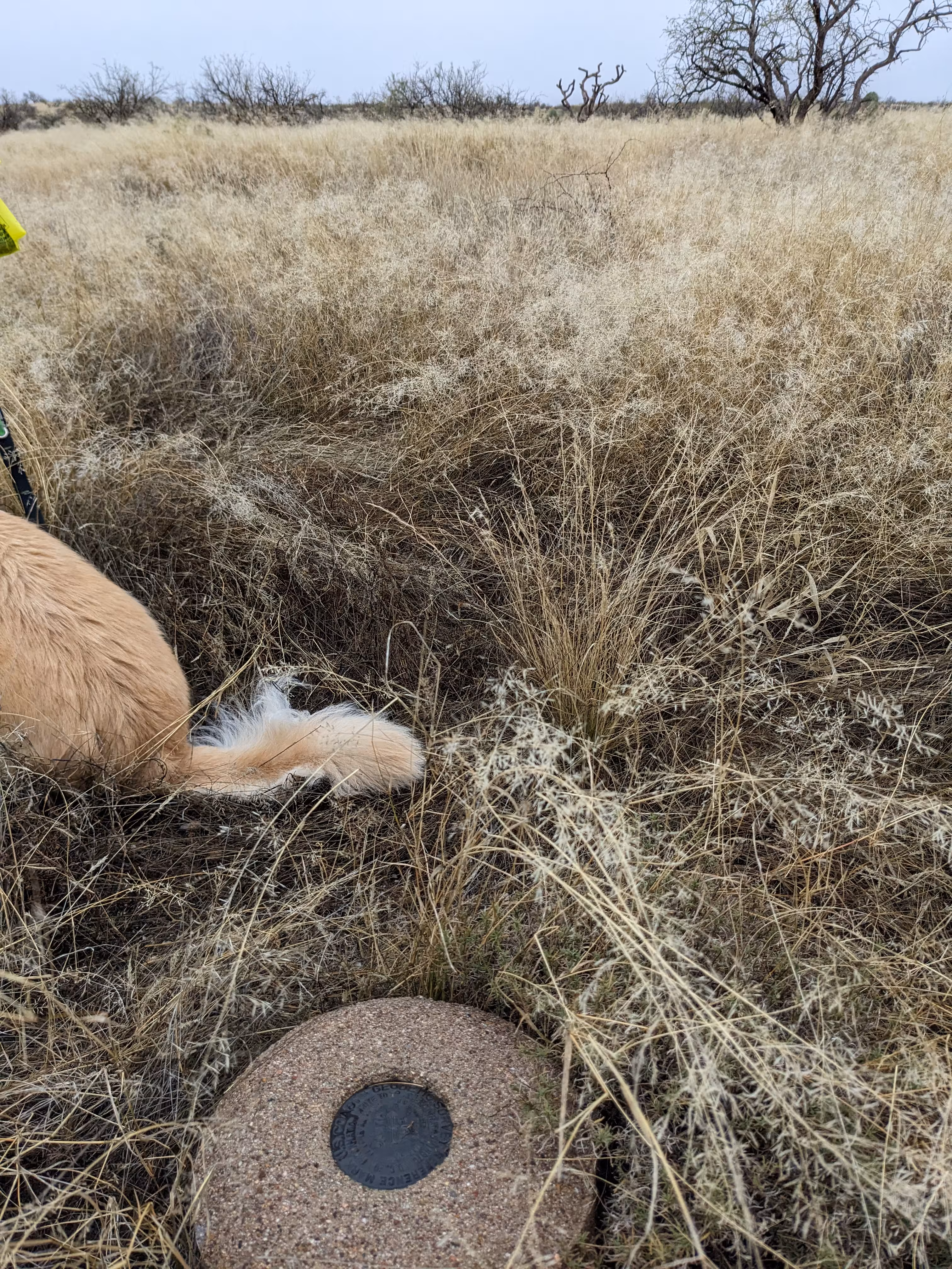
Reference mark 2, a standard disk stamped SANTA NO 2 1962, is set in the top of a cylindrical concrete monument, 12 inches in diameter, projection 1-inch above the surface of the ground. It is about the same elevation as the station mark.
"SANTA" is a benchmark monumented by the USGS in 1946 located in Pinal County, Arizona. It has 2 dedicated reference marks.
The best way to get to "SANTA" is to enter the Saddlebrooke Ranch community and turn right onto Robson Circle. Stop at the end of the pavement and embark on the gravel "emergency road". There will be a gate but it was not locked. Continue from the gate for 2,500 feet along the road. Then head south to the the benchmark. The witness post is gone.
"SANTA NO 1" is located 26.447 feet or 8.061 meters 3 degrees from the main benchmark. It is located at about the same elevation than the station.
"SANTA NO 2" is located 26.037 feet or 7.936 meters 285 degrees from the main benchmark. It is located at about the same elevation than the station.