|
|
Main benchmarks recovered in good or poor condition. |
|
|
Main benchmarks that have been destroyed. |
|
|
Reference benchmarks recovered in good or poor condition. |
|
|
Reference benchmarks that have been destroyed. |
|
|
Azimuth benchmarks recovered in good or poor condition. |
|
|
Azimuth benchmarks that have been destroyed. |
|
|
A main, reference, or azimuth benchmark not searched for. |
"MULE 1938"
| NGS PointID: | CC6978 |
| Reference Benchmarks: | MULE |
| Condition: | Small gashes and punch-holes. |
| Stamping: | MULE 1938 |
| Coordinates: | 31.44160, -109.96028 |
| Elevation: | 7286 ft (2221 m) |
| Setting: | A rock outcrop |
| Monumentor: | USC&GS |
Datasheet Description:
Azimuth mark, is about 0.2 mile SSW of the station on the first hill which is about 150 feet lower than the station.
"MULE 1938" is a benchmark monumented by the USC&GS in 1938 located in Cochise County, Arizona. It is the second of the two dedicated azimuth marks for MULE.
To reach the benchmark, go to MULE. From the summit, head southwest following pack trail to summit of nearest hill along ridge. Try to stay to the east of the ridge to avoid hostile vegetation.
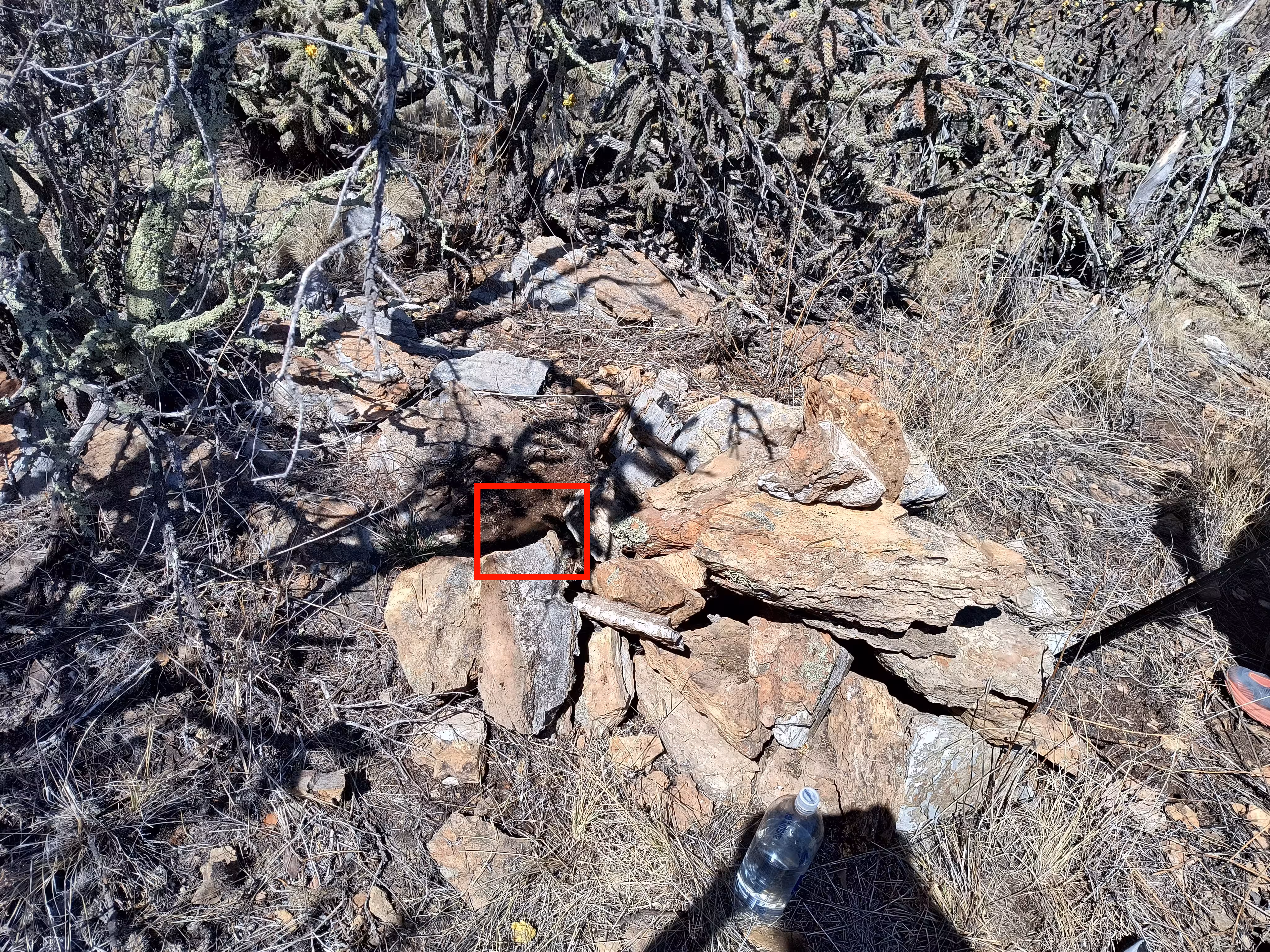
The benchmark is next to a cairn of large rocks. It is under a rock that is next to the cairn.
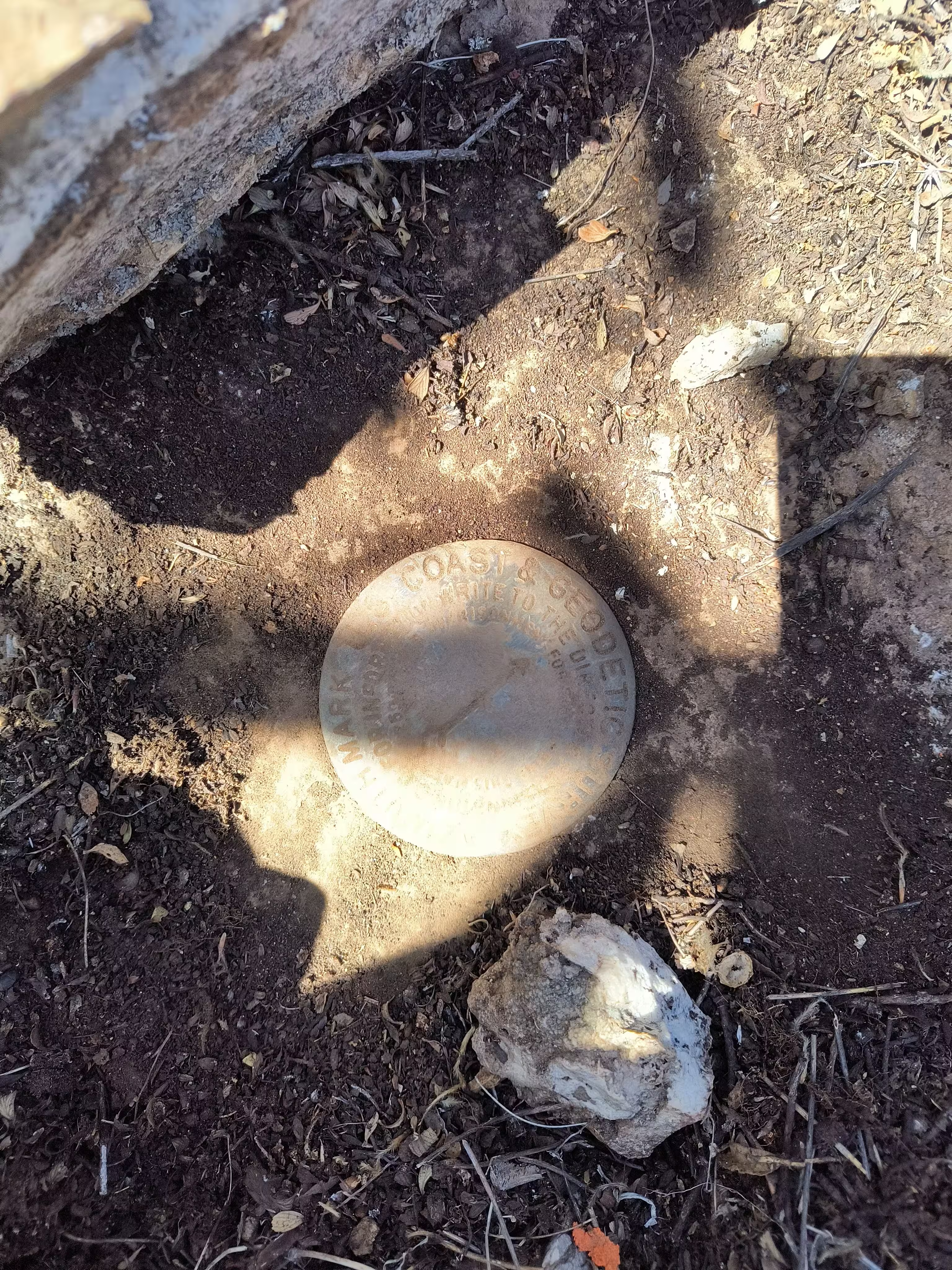
A closeup of the 1938 azimuth mark after being cleaned and covered in a shadow.
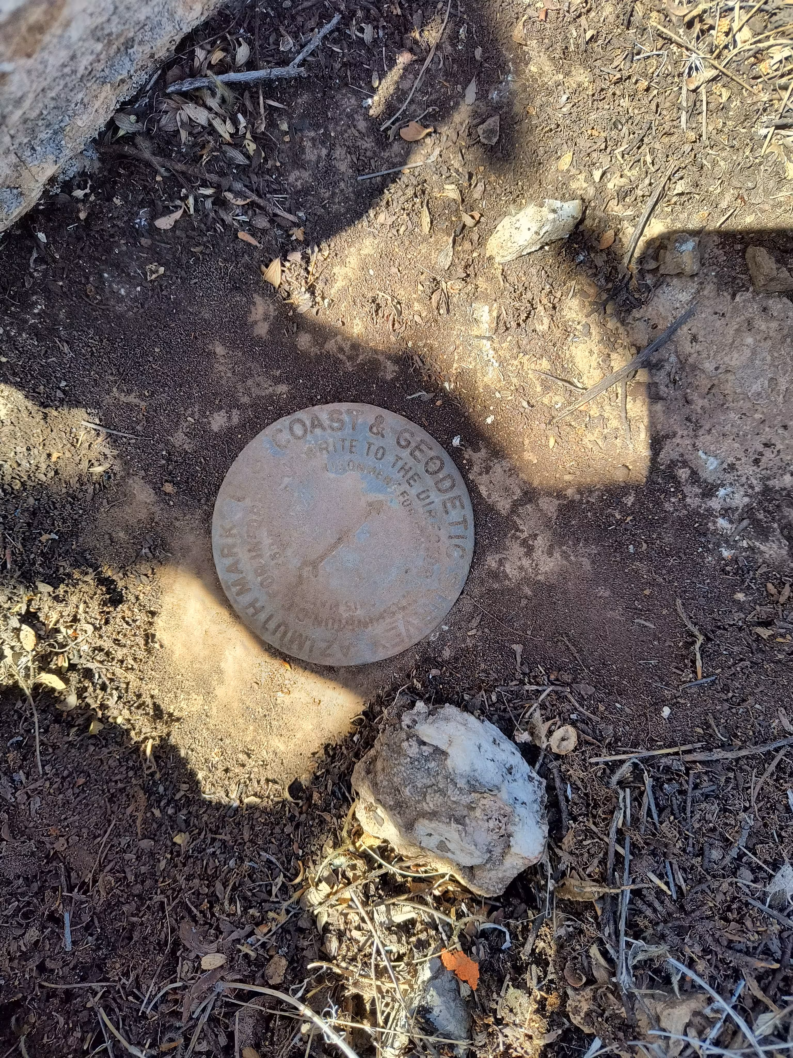
A closeup of the 1938 azimuth mark after being cleaned.
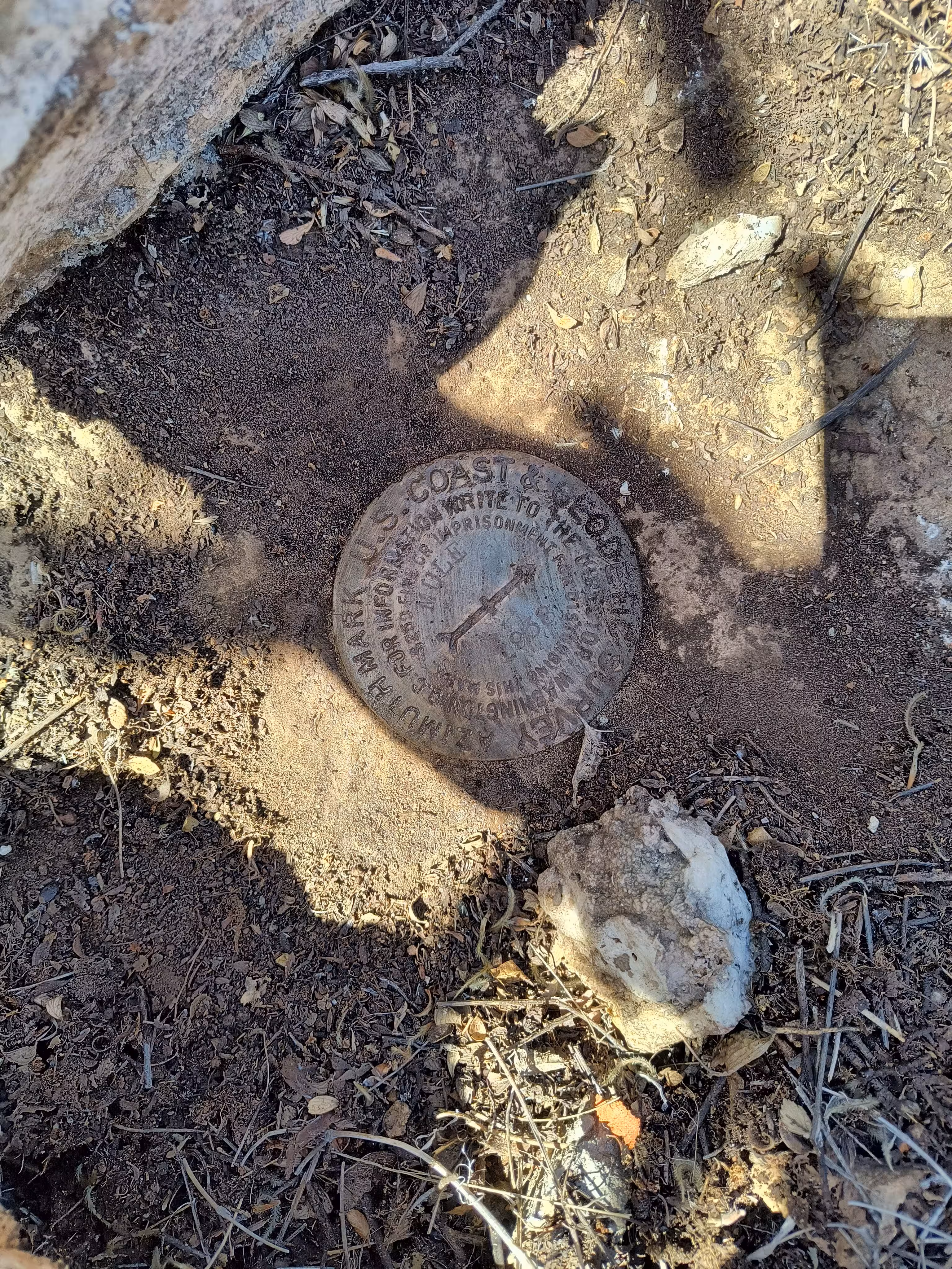
A closeup of the 1938 azimuth mark after being covered in a shadow.
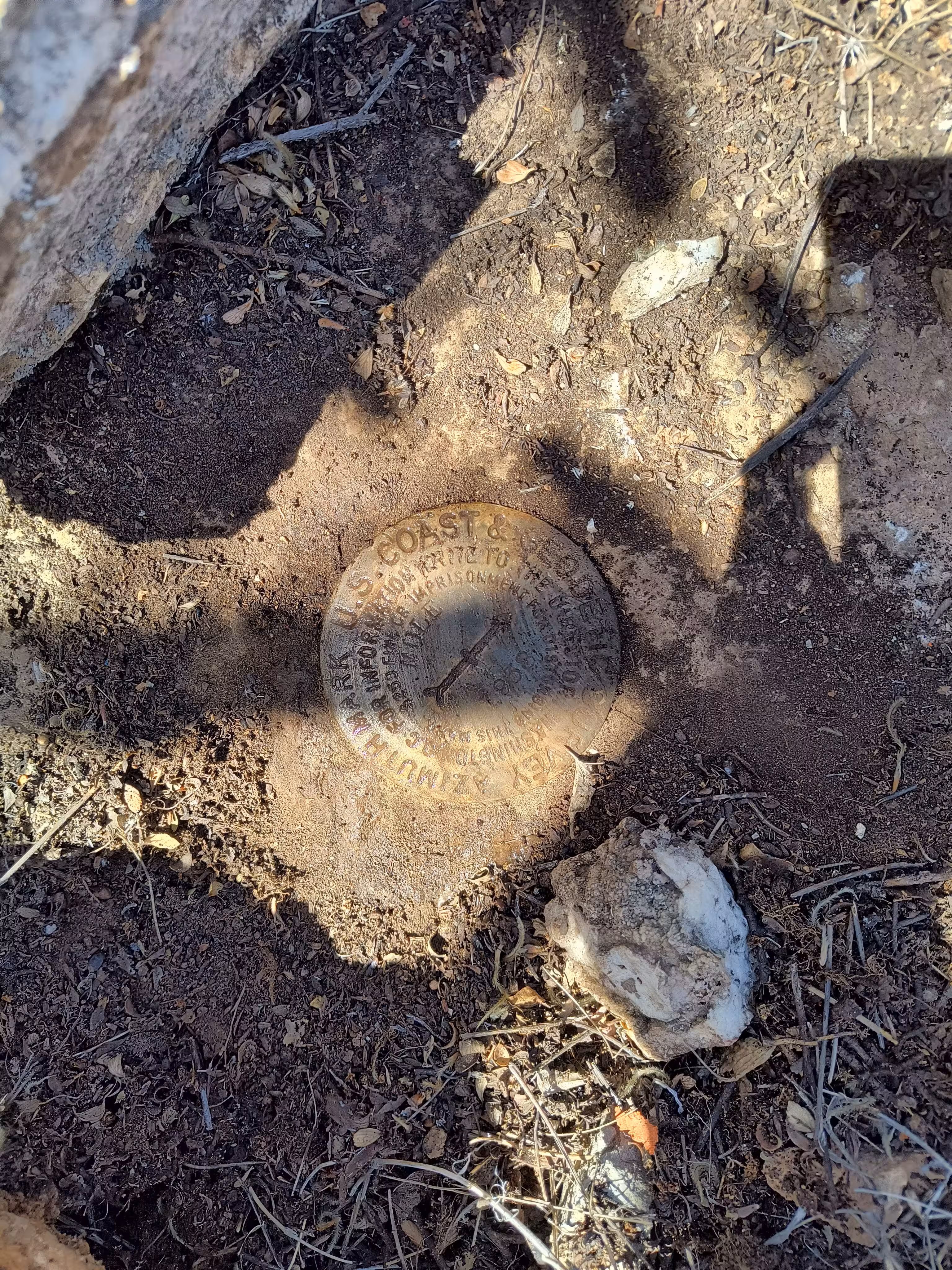
A closeup of the 1938 azimuth mark.
The mark from a distance.
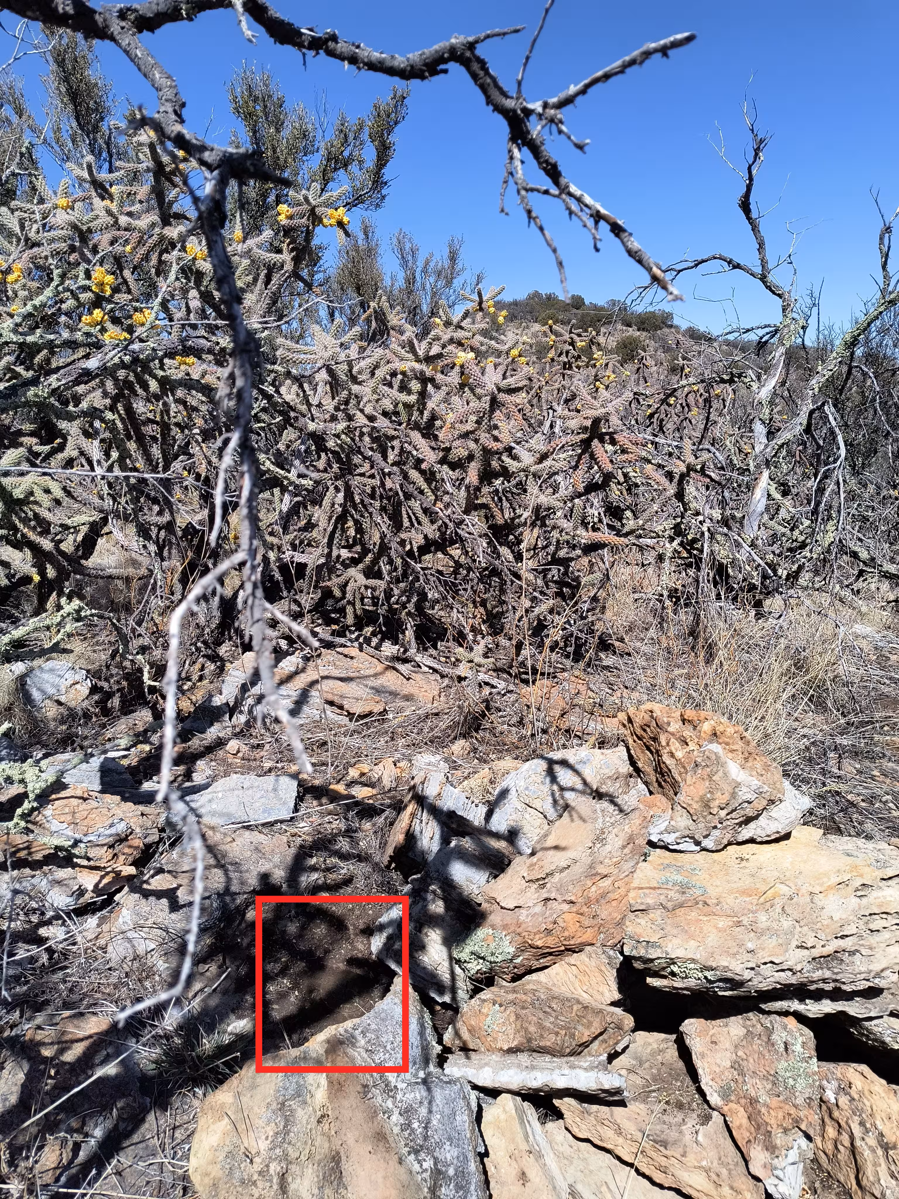
The mark looking towards MULE and Mount Ballard.