|
|
Main benchmarks recovered in good or poor condition. |
|
|
Main benchmarks that have been destroyed. |
|
|
Reference benchmarks recovered in good or poor condition. |
|
|
Reference benchmarks that have been destroyed. |
|
|
Azimuth benchmarks recovered in good or poor condition. |
|
|
Azimuth benchmarks that have been destroyed. |
|
|
A main, reference, or azimuth benchmark not searched for. |
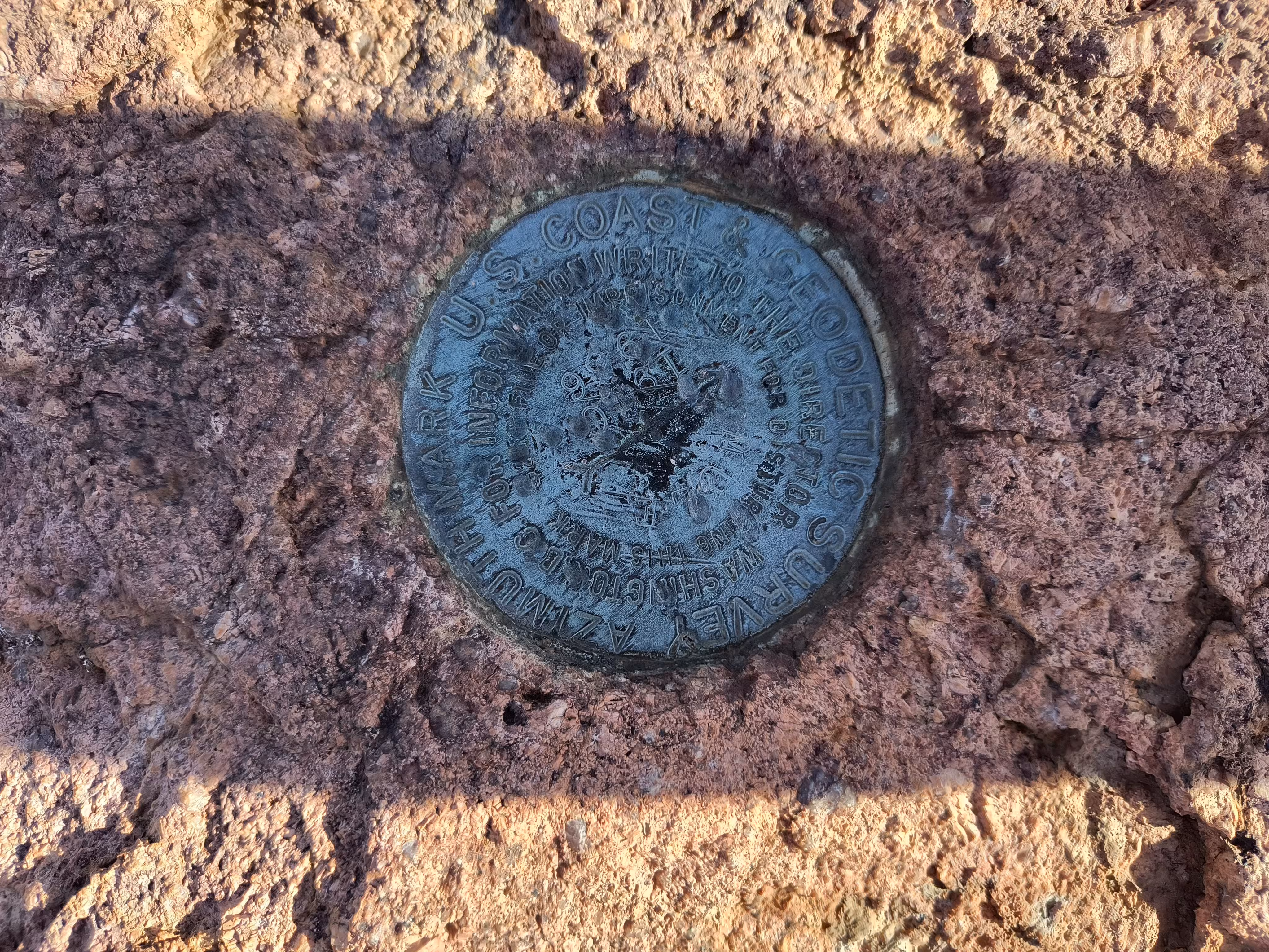
"MULE 1936"
| Reference Benchmarks: | MULE |
| Condition: | Small gashes and punch-holes. |
| Stamping: | MULE 1910 1936 |
| Coordinates: | 31.46813, -109.94311 |
| Elevation: | 6778 ft (2066 m) |
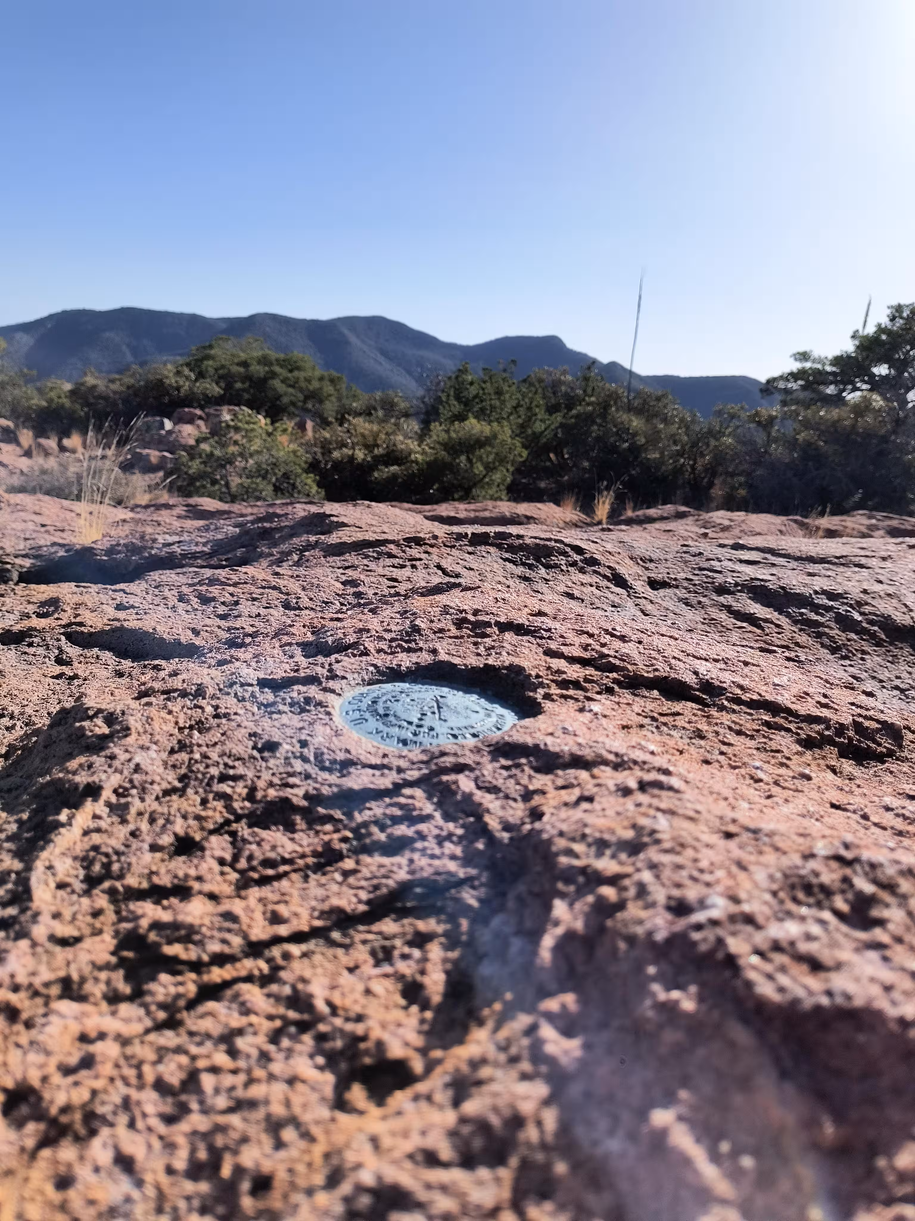
| Setting: | A rock outcrop |
| Monumentor: | USC&GS |
Datasheet Description:
Azimuth mark is standard tablet set in solid rock on SW rim of ridge lying NE of U.S. Highway 80. Reached from summit of highway by steep road to right. Follow this road 1.0 mile to end of grade. Continue NW on trail 0.15 mile to government fence. Continue W 0.25 mile, and azimuth mark is 28 paces S of road, on a large rock outcrop, about 40 yards N of point where mountain slopes steeply to S, and 5 feet W of a small rock cairn. Stamped MULE 1910 1936.
"MULE 1936" is a benchmark monumented by the USC&GS in 1936 located in Cochise County, Arizona. It is the first of the two dedicated azimuth marks for MULE.
To reach the benchmark, follow the datasheet description for general routing. For actually finding the benchmark, just use the coordinates.
The benchmark is on a prominent large rock outcrop.