|
|
Main benchmarks recovered in good or poor condition. |
|
|
Main benchmarks that have been destroyed. |
|
|
Reference benchmarks recovered in good or poor condition. |
|
|
Reference benchmarks that have been destroyed. |
|
|
Azimuth benchmarks recovered in good or poor condition. |
|
|
Azimuth benchmarks that have been destroyed. |
|
|
A main, reference, or azimuth benchmark not searched for. |
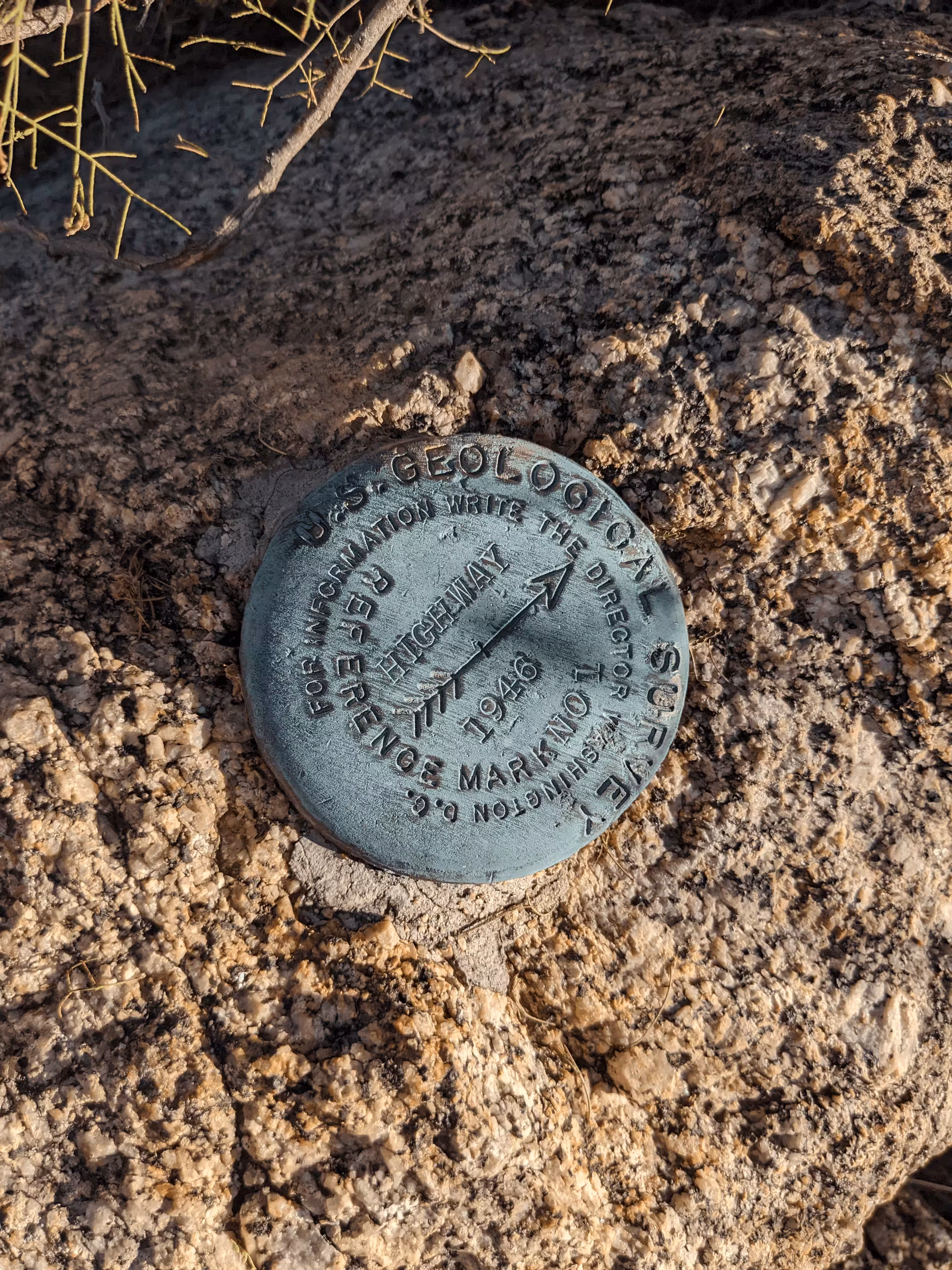
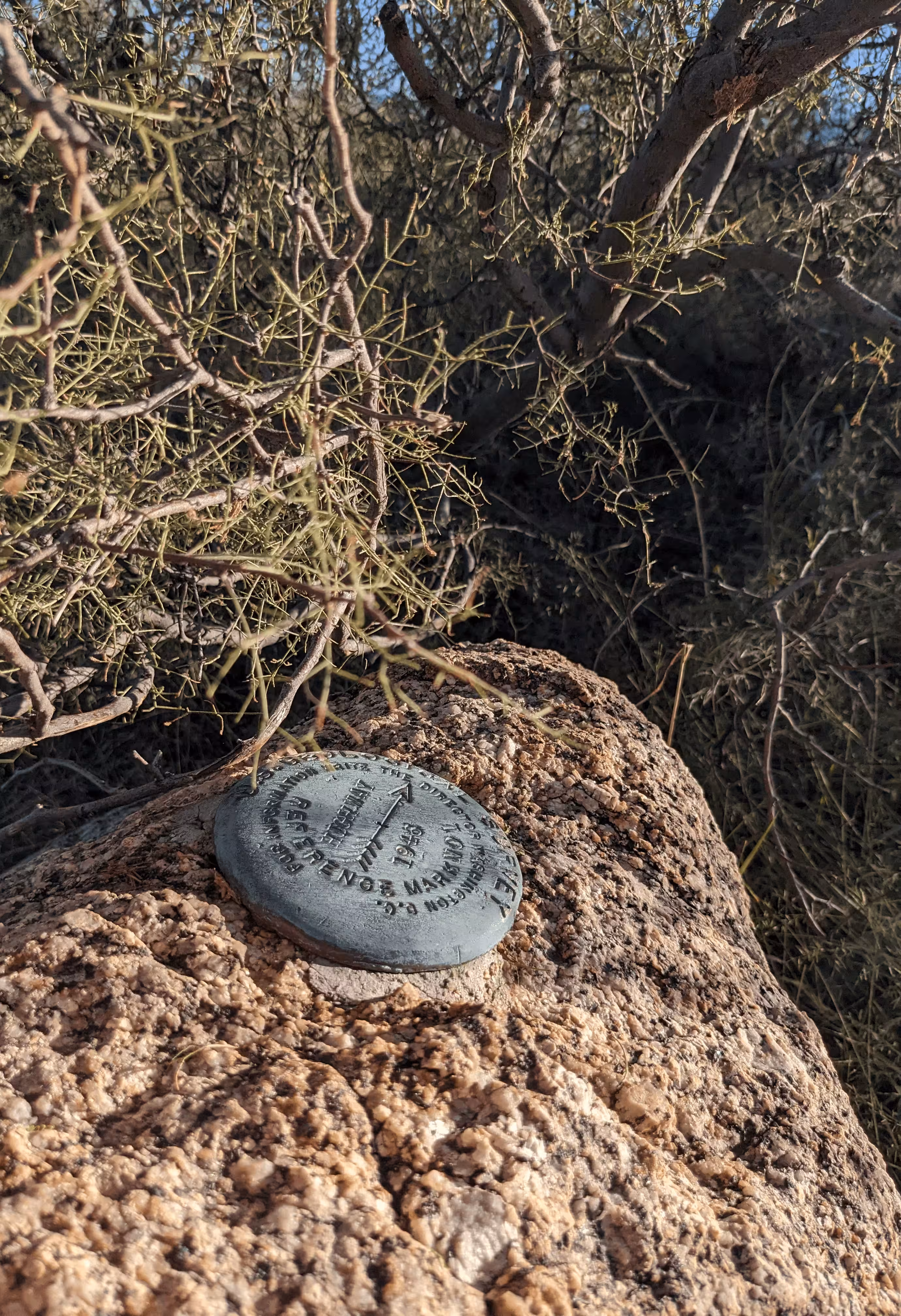
"HIGHWAY NO 1"
| NGS PointID: | CC6671 |
| Reference Benchmarks: | HIGHWAY, HIGHWAY NO 2 |
| Condition: | Scratching and large ware |
| Stamping: | HIGHWAY NO 1 1946 |
| Coordinates: | 32.638019, -110.733603 |
| Elevation: | 4288.98 ft (1307.28 m) |
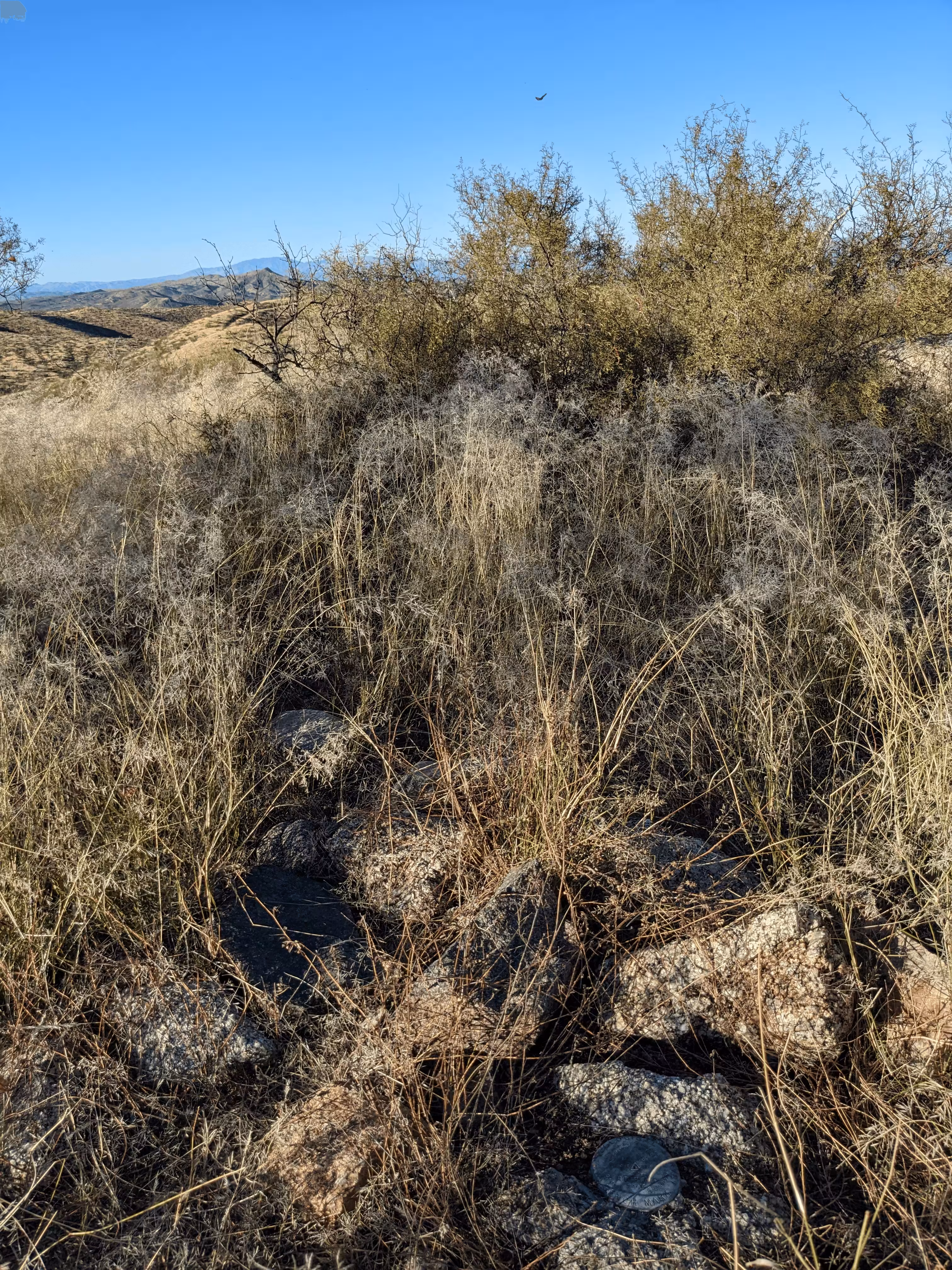
| Setting: | A large rock outcrop |
| Monumentor: | USGS |
Datasheet Description:
RM 1--standard RM tablet stamped---HIGHWAY NO 1 1946---, set in rock.
"HIGHWAY NO 1" is a benchmark monumented by the USGS in 1946 located in Pinal County, Arizona. It is a dedicated reference mark for HIGHWAY.
The best way to get to "HIGHWAY NO 1" is to drive north on old State Route 77 from State Route 77 for half a mile. This road is passable with most-all passenger vehicles. From here, walk on the power line road to ridge. Pack up the ridge to top of hill. The reference mark #1 is on the highest elevation boulder.
"HIGHWAY NO 1" is located 16.371 feet or 4.990 meters 8 degrees from the main benchmark. It is located at a slightly lower elevation than the station.