|
|
Main benchmarks recovered in good or poor condition. |
|
|
Main benchmarks that have been destroyed. |
|
|
Reference benchmarks recovered in good or poor condition. |
|
|
Reference benchmarks that have been destroyed. |
|
|
Azimuth benchmarks recovered in good or poor condition. |
|
|
Azimuth benchmarks that have been destroyed. |
|
|
A main, reference, or azimuth benchmark not searched for. |
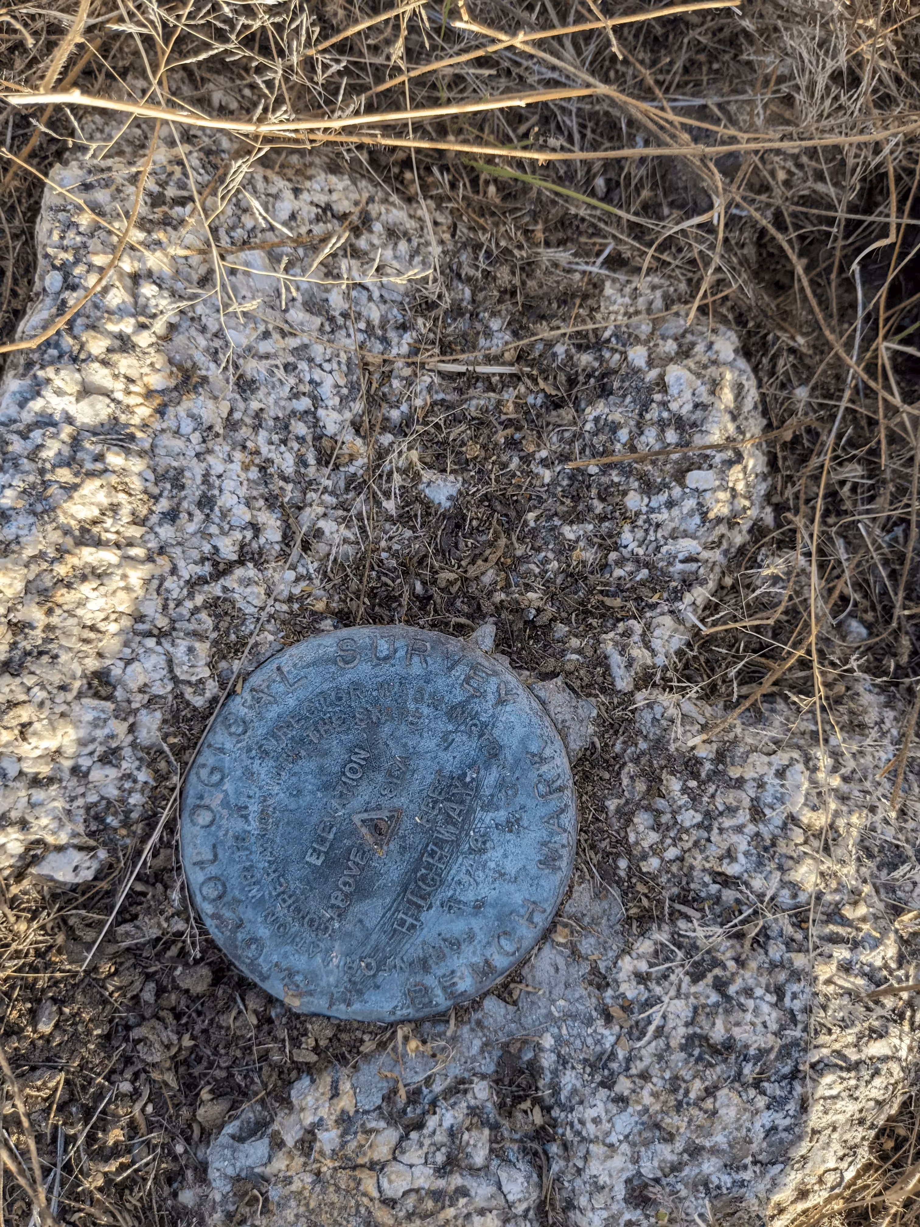
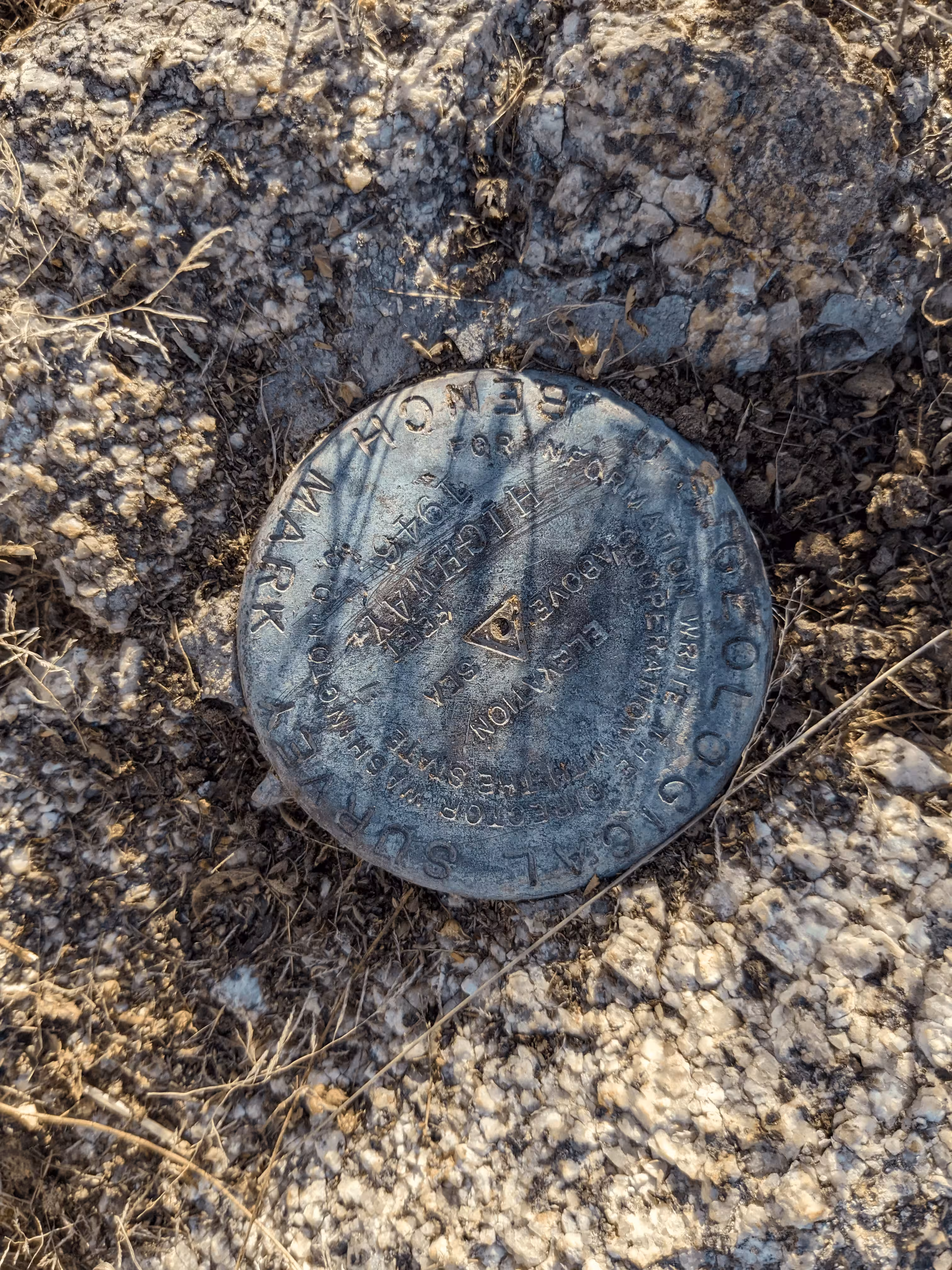
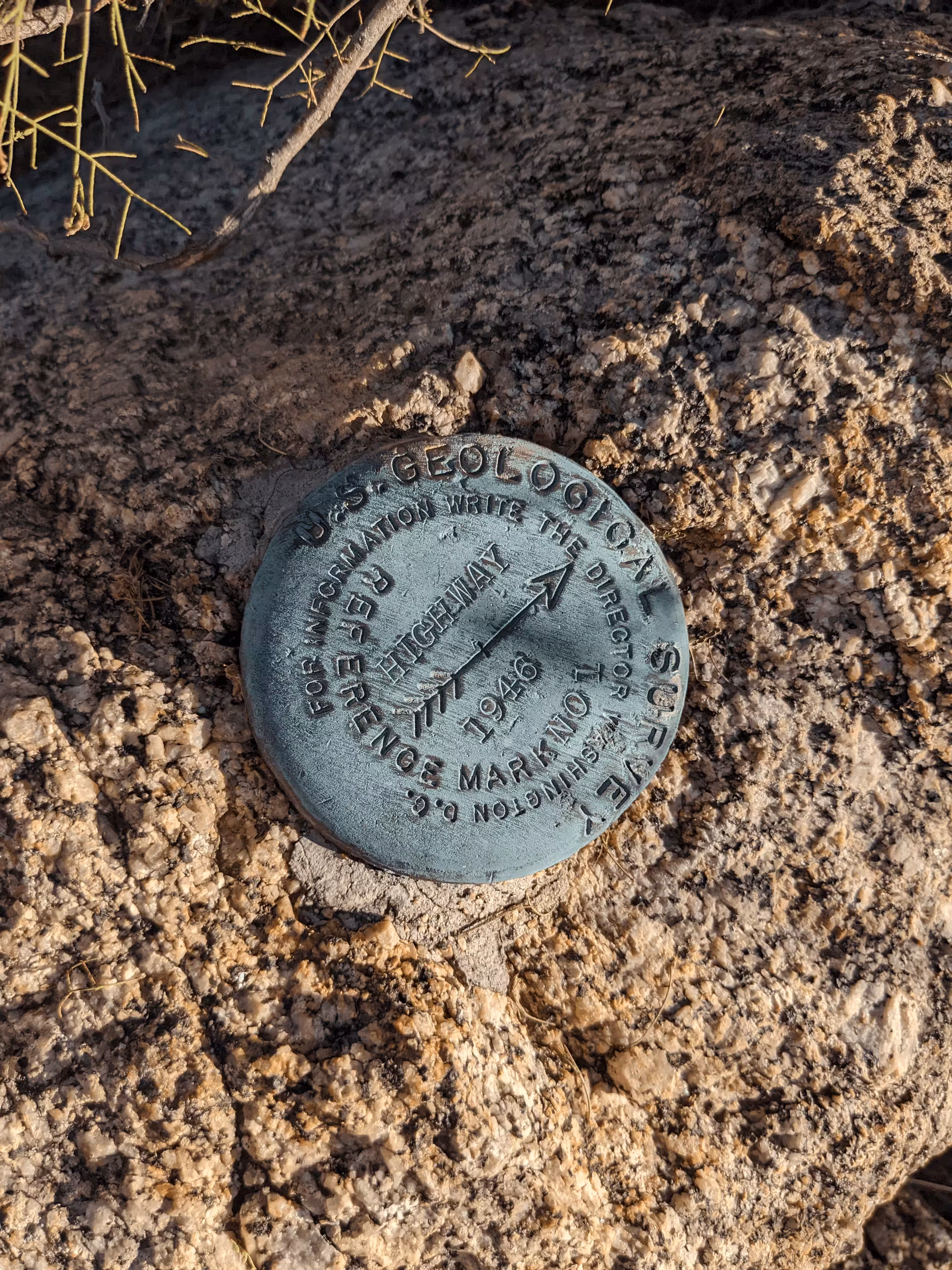
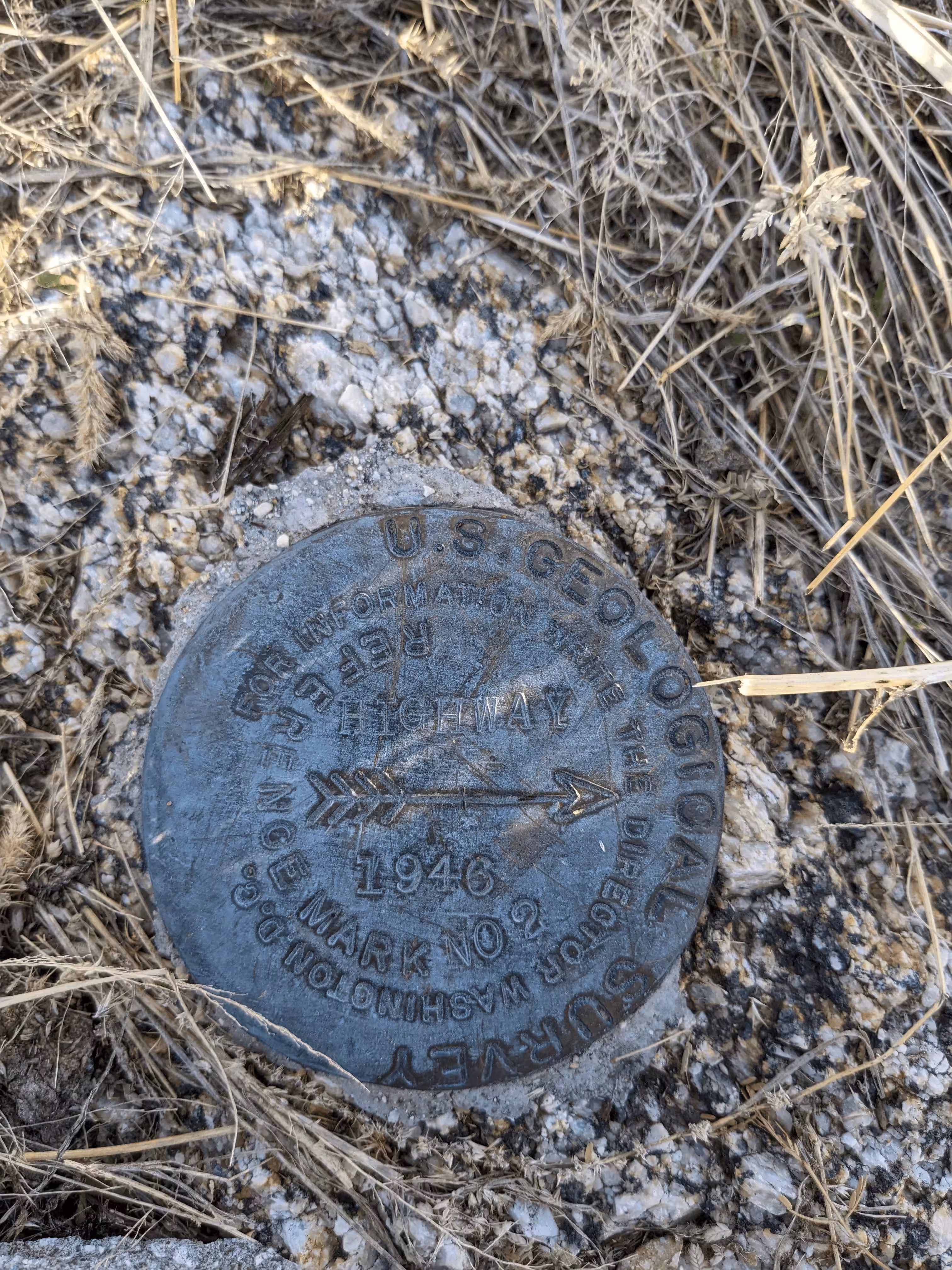
"HIGHWAY"
| NGS PointID: | CZ1892 |
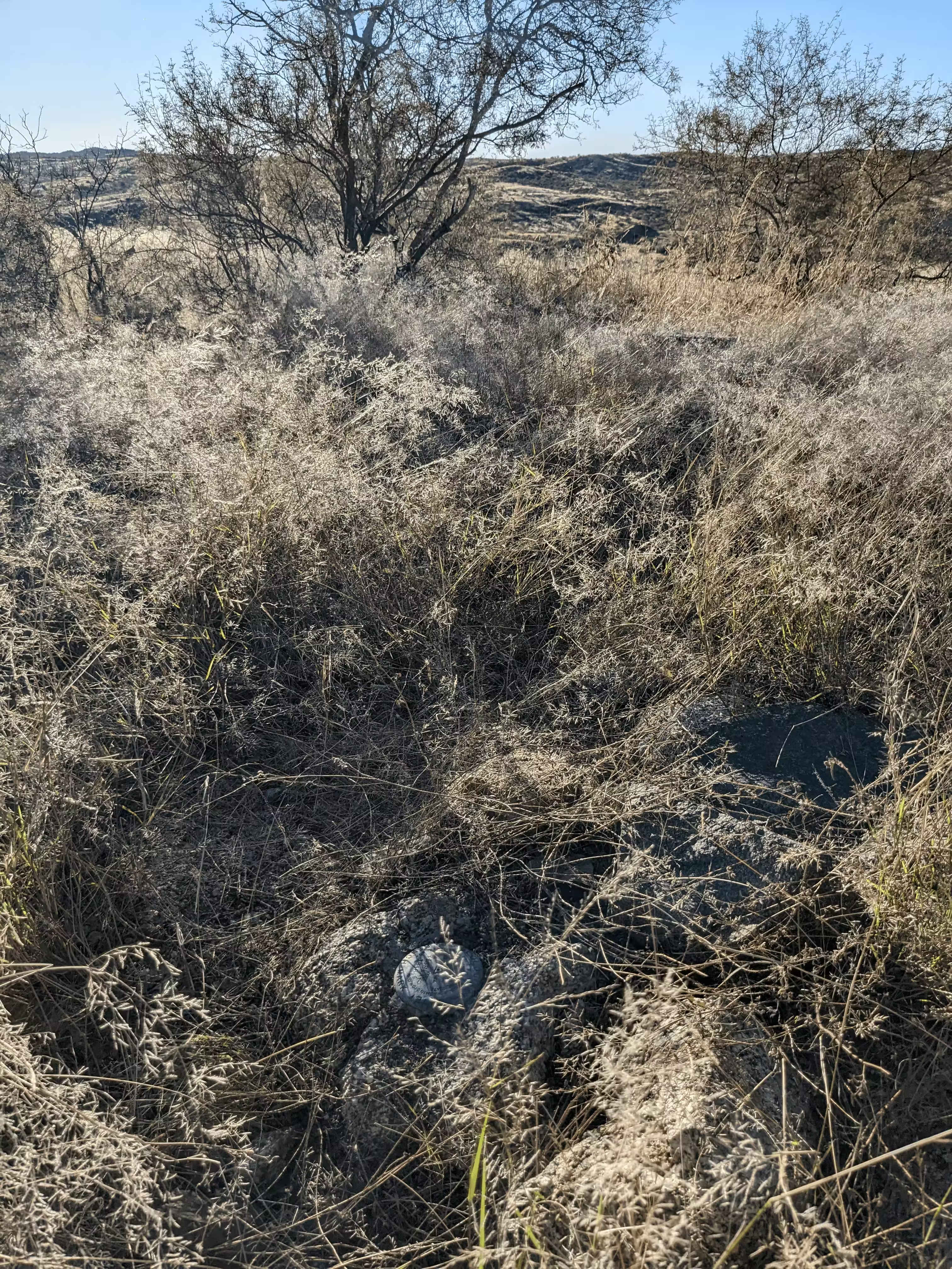
| Reference Benchmarks: | HIGHWAY NO 1, HIGHWAY NO 2 |
| Condition: | Major scratching. |
| Stamping: | HIGHWAY 1946 |
| Coordinates: | 32.637975, -110.733610 |
| Elevation: | 4291.3 ft (1308.0 m) |
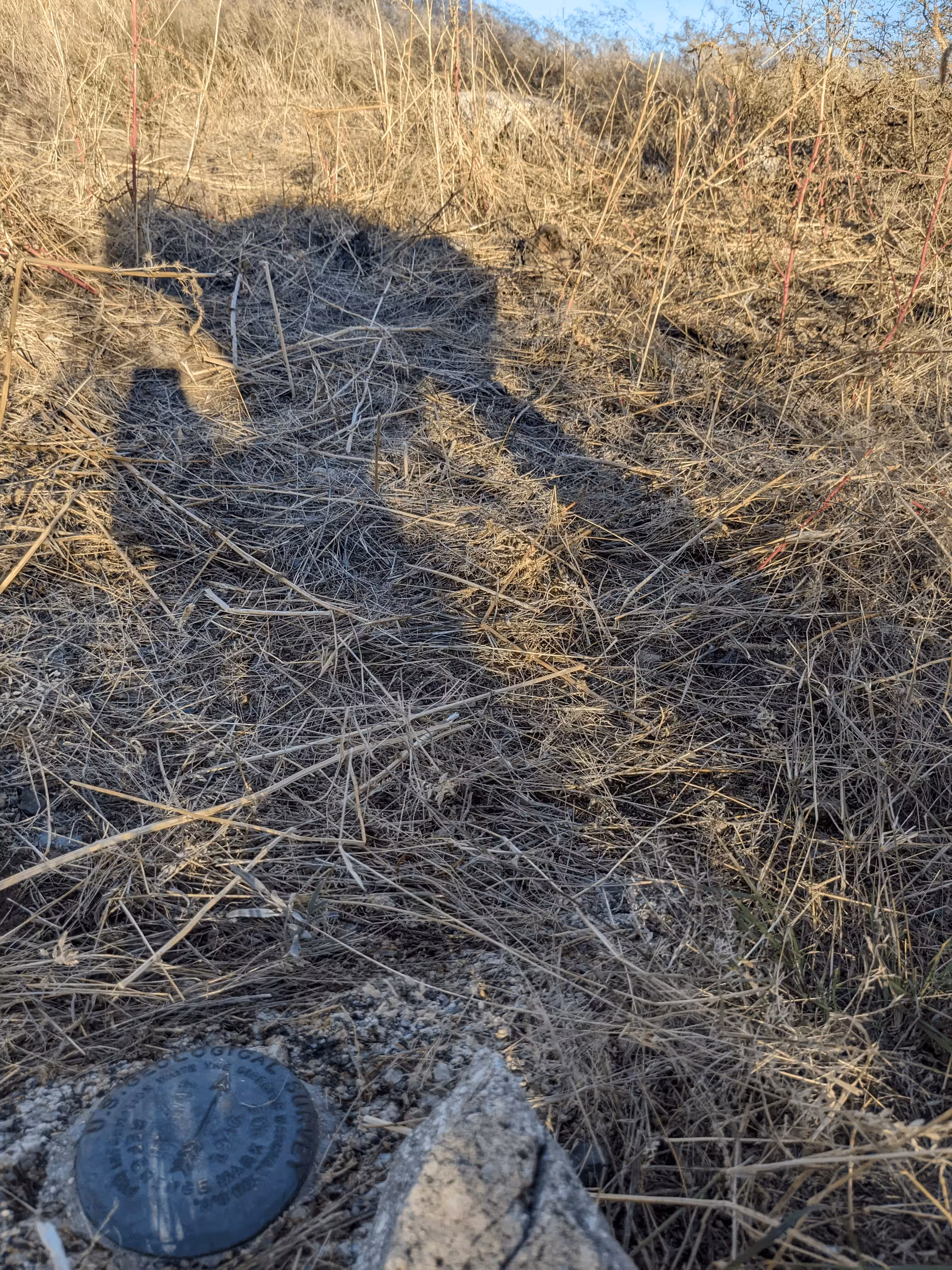
| Setting: | Rock outcrop |
| Monumentor: | USGS |
Datasheet Description:
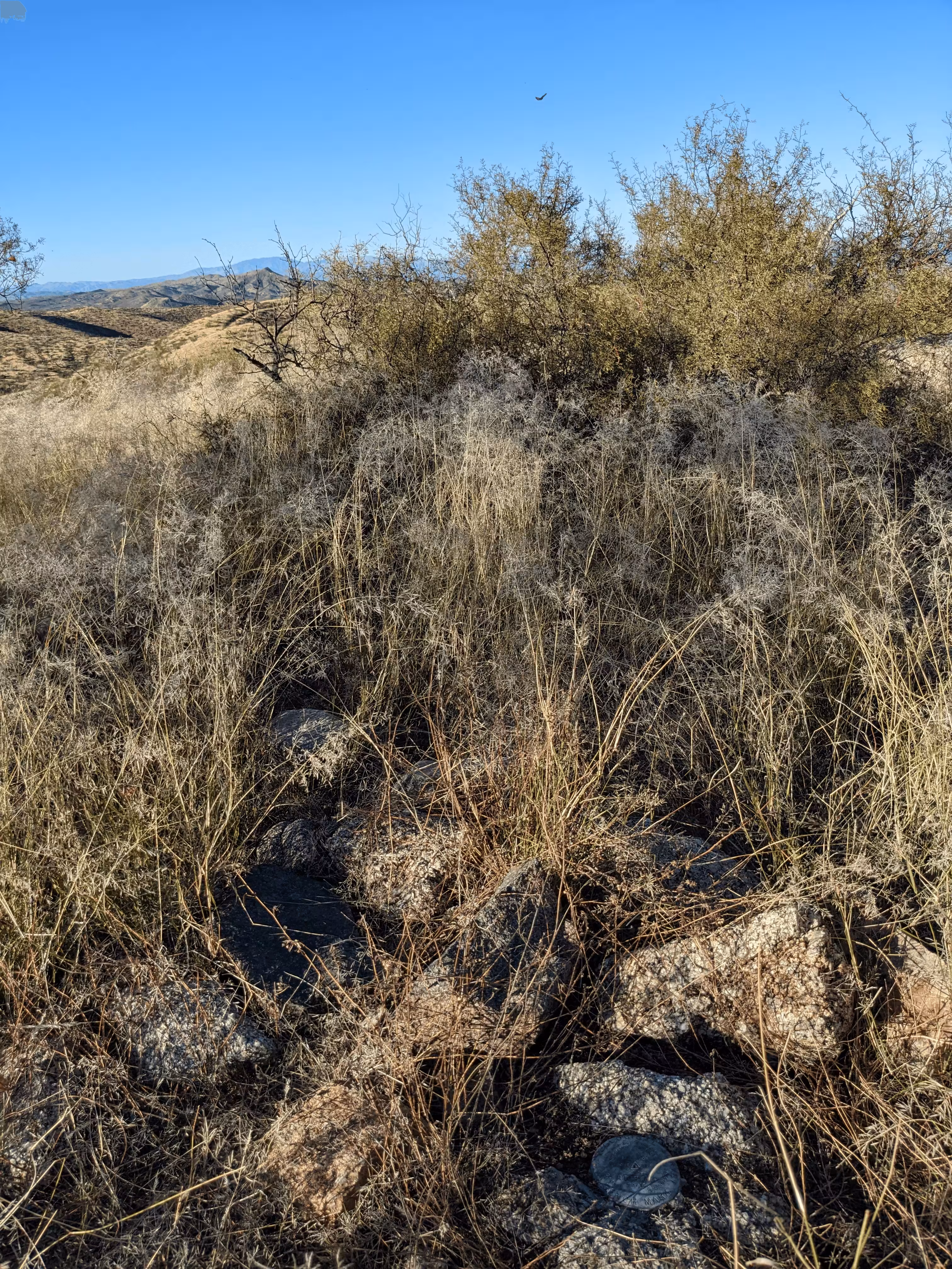
Located about 8.9 mi SW. of Mammoth, 2.1 mi NE. of Oracle. On prominent hill, about 300 yds S. of State Hwy. 77. To reach from Oracle, drive 2.1 mi NE. on State Hwy. 77 to cattleguard. Pack up hill to right. To reach from Mammoth, drive 8.9 mi S. on State Hwy. 77 to cattleguard. Pack about 0.2 mi S. up hill on left to top and station. Station mark--standard tablet stamped---HIGHWAY 1946---, set in rock on highest point of hill. RM 1--standard RM tablet stamped---HIGHWAY NO 1 1946---, set in rock. RM 2--standard RM tablet stamped---HIGHWAY NO 2 1946---, set in rock.
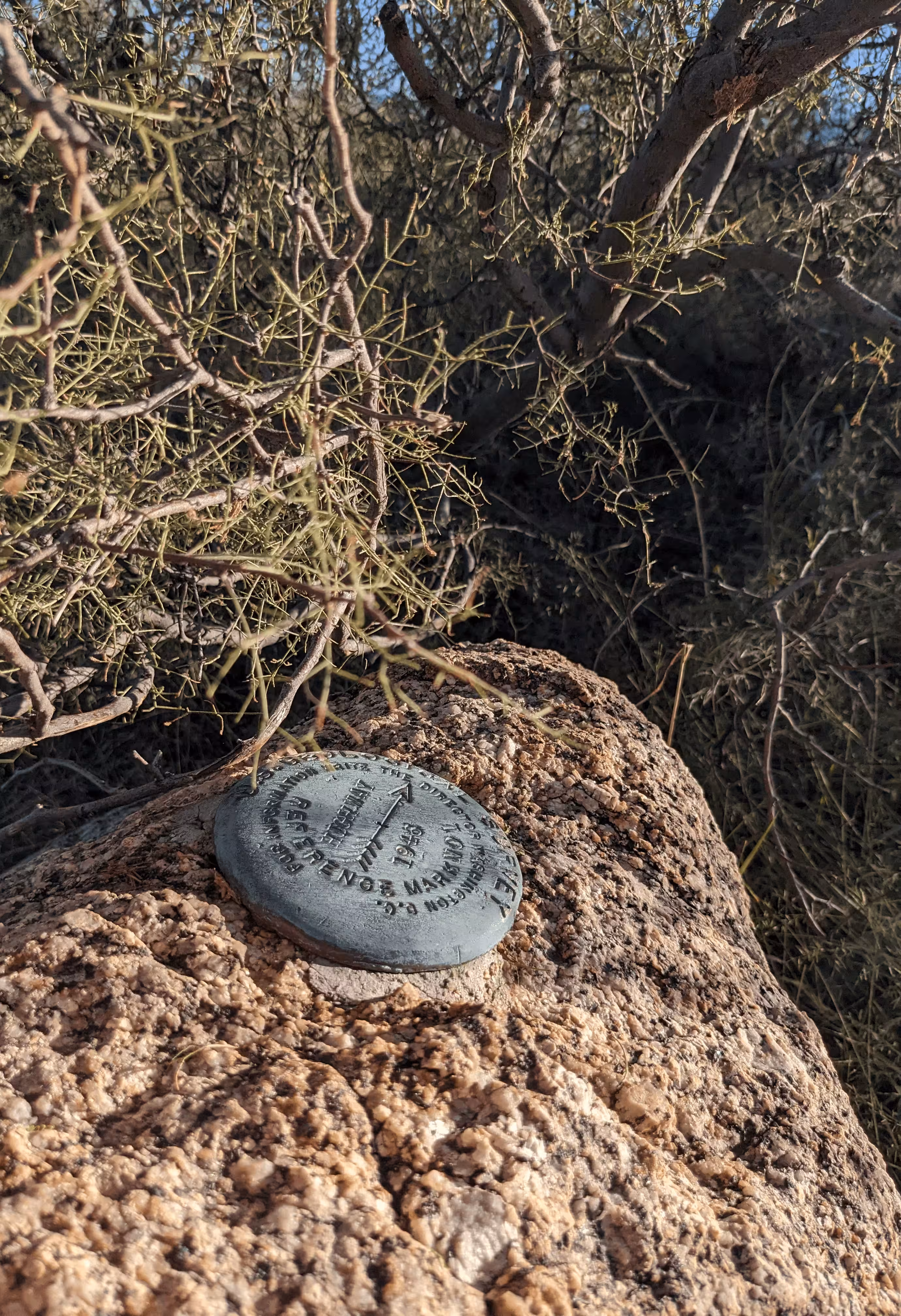
"HIGHWAY" is a benchmark monumented by the USGS in 1946 located in Pinal County, Arizona. It has 2 dedicated reference marks.
The best way to get to "HIGHWAY" is to drive north on old State Route 77 from State Route 77 for half a mile. This road is passable with most-all passenger vehicles. From here, walk on the power line road to ridge. Pack up the ridge to top of hill. The benchmark is on the highest point of the hill not counting boulders.
"HIGHWAY NO 1" is located 16.371 feet or 4.990 meters 8 degrees from the main benchmark. It is located at a slightly lower elevation than the station.
"HIGHWAY NO 2" is located 25.820 feet or 7.870 meters 265 degrees from the main benchmark. It is located above the station on a boulder.