|
|
Main benchmarks recovered in good or poor condition. |
|
|
Main benchmarks that have been destroyed. |
|
|
Reference benchmarks recovered in good or poor condition. |
|
|
Reference benchmarks that have been destroyed. |
|
|
Azimuth benchmarks recovered in good or poor condition. |
|
|
Azimuth benchmarks that have been destroyed. |
|
|
A main, reference, or azimuth benchmark not searched for. |
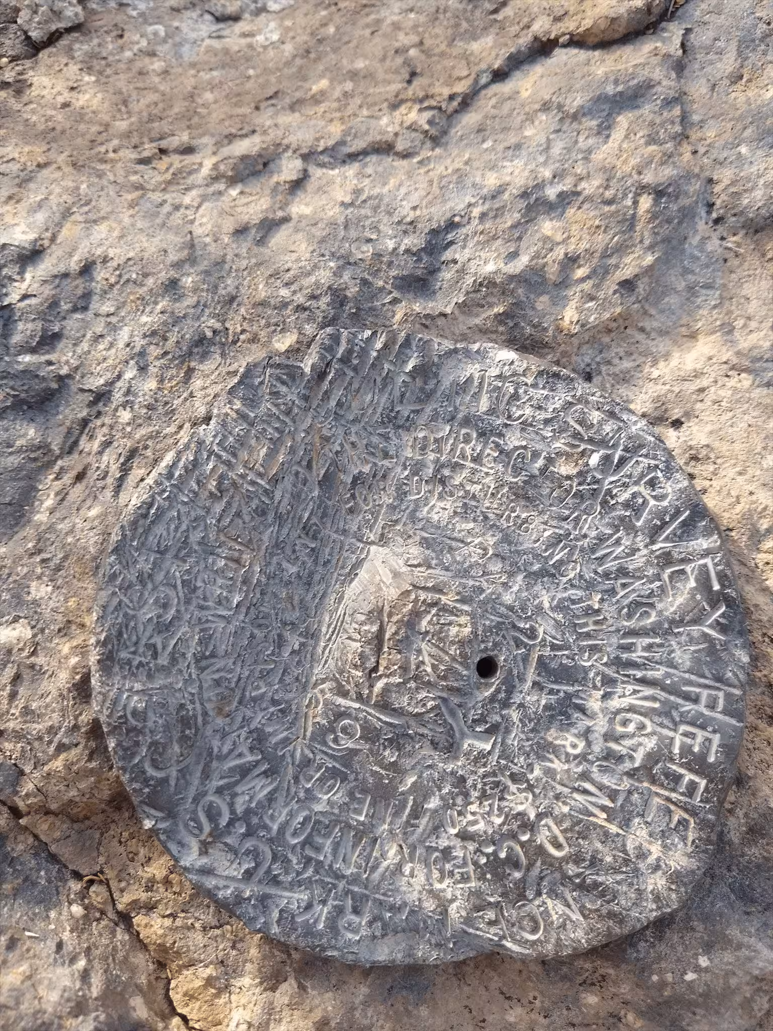
"PA 2 NO 1"
| NGS PointID: | CC7928 |
| Reference Benchmarks: | PA 2, PA 2 NO 2, PA 2 NO. 3 |
| Azimuth Benchmark: | SAN XAVIER MISSION CROSS |
| Condition: | Heavily scared, scratched, and gashed. |
| Stamping: | PA 2 NO 1 |
| Coordinates: | 32.106547, -110.988192 |
| Elevation: | 2856 ft (870.5 m) |
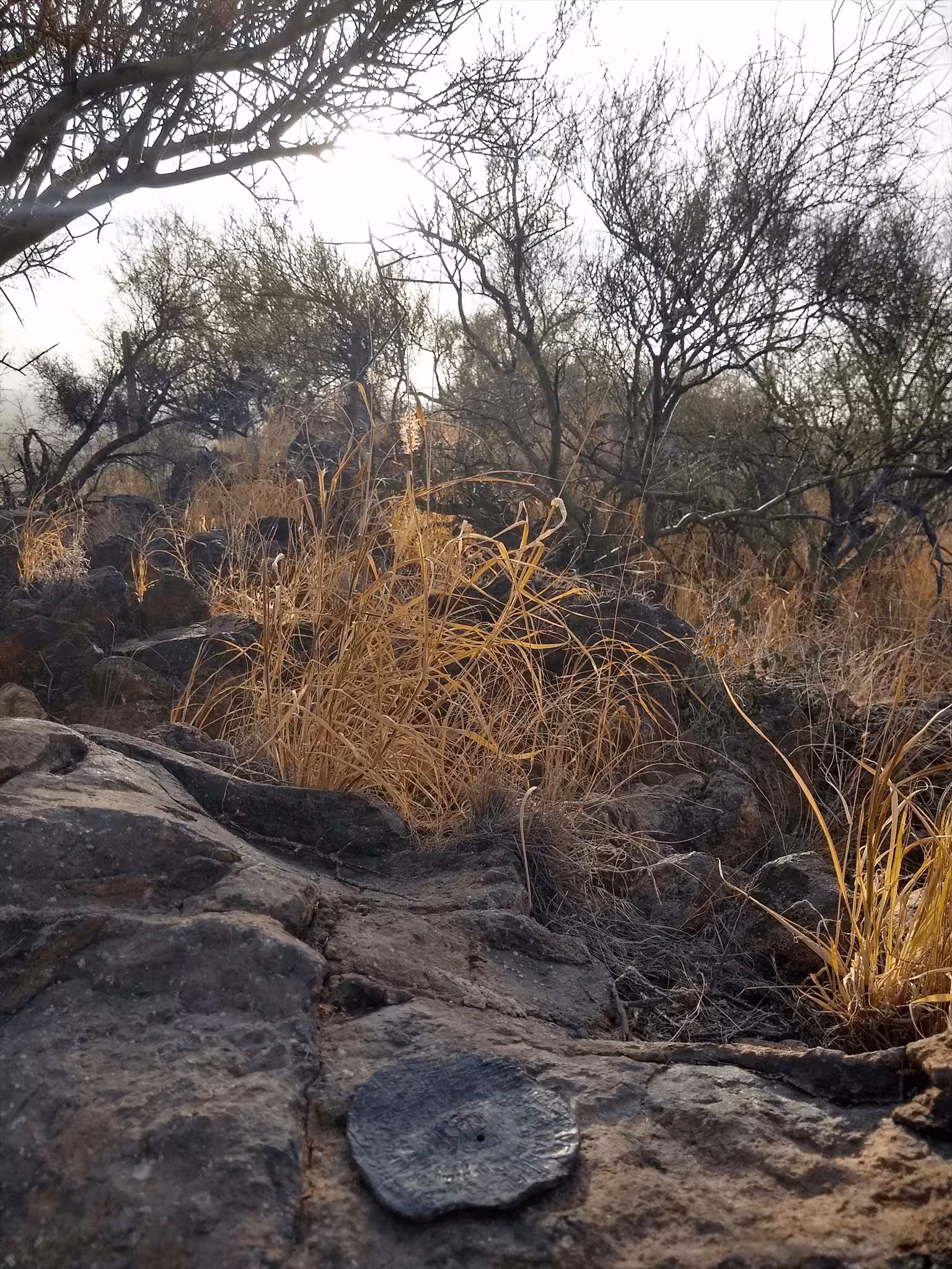
| Setting: | A rock outcrop |
| Monumentor: | USC&GS |
Datasheet Description:
R. M. 1 is a standard disk stamped PA 2 NO 1 1959, set in a drill hole in bedrock that is about 2 feet lower than the station mark.
"PA 2 NO 1" is a benchmark monumented by the USC&GS in 1959 located in Pima County, Arizona. It is a dedicated reference mark for PA 2.
The best way to get to "PA 2" is to start at the end of Martinez Drive and heading along a power line trail until a water tank at a higher elevation than the other water tank. From here there is a trail that heads up most of the hill. From the end of the trail, bushwhack to the summit and station.
"PA 2 NO 1" is located 30.764 feet or 9.377 meters 68 degrees from the main benchmark. It is located about 2 feet below the station, on an a prominent rock outcrop.