|
|
Main benchmarks recovered in good or poor condition. |
|
|
Main benchmarks that have been destroyed. |
|
|
Reference benchmarks recovered in good or poor condition. |
|
|
Reference benchmarks that have been destroyed. |
|
|
Azimuth benchmarks recovered in good or poor condition. |
|
|
Azimuth benchmarks that have been destroyed. |
|
|
A main, reference, or azimuth benchmark not searched for. |
"WOLFE"
| Reference Benchmarks: | None |
| Condition: | Ware and scratching |
| Stamping: | WOLFE 1987 |
| Coordinates: | 44.25024 -86.34220 |
| Elevation: | 559 ft (170 m) |
| Setting: | Concrete pier |
| Monumentor: | USACE |
"MIKE" is a benchmark monumented by the USACE in 1987 located in Manistee County, Michigan.
The benchmark is in the sidewalk of the Manistee River and located close to the gate of the USCG station.
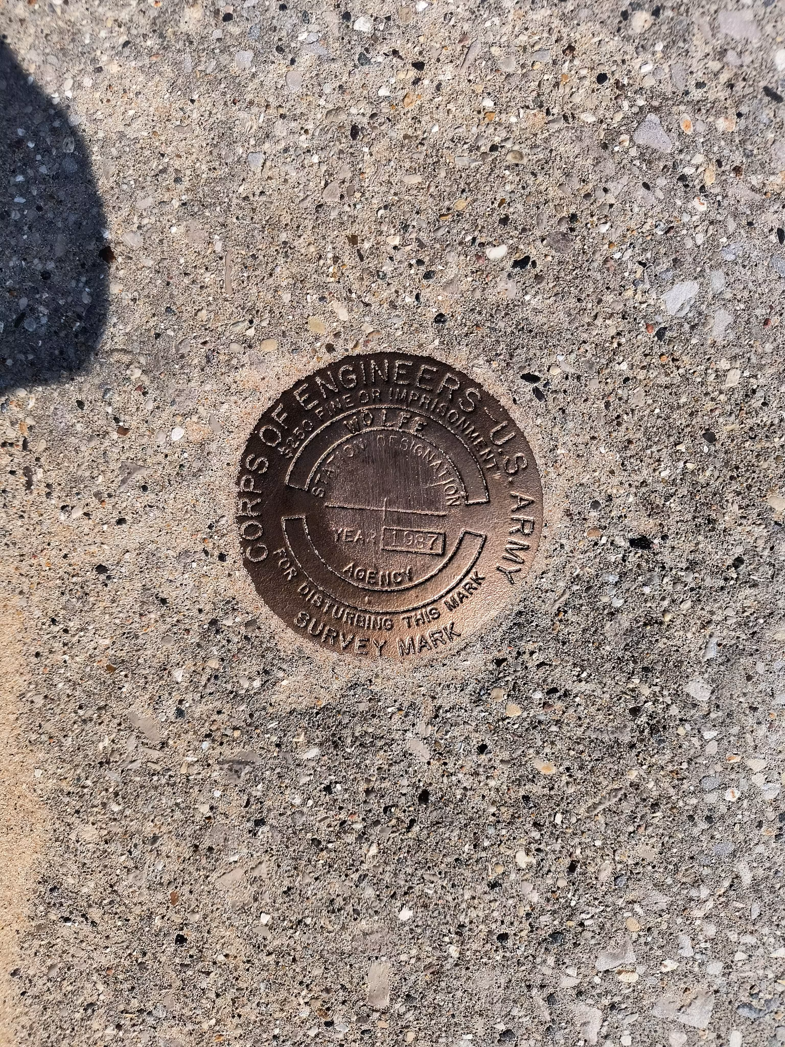
WOLFE close up.