|
|
Main benchmarks recovered in good or poor condition. |
|
|
Main benchmarks that have been destroyed. |
|
|
Reference benchmarks recovered in good or poor condition. |
|
|
Reference benchmarks that have been destroyed. |
|
|
Azimuth benchmarks recovered in good or poor condition. |
|
|
Azimuth benchmarks that have been destroyed. |
|
|
A main, reference, or azimuth benchmark not searched for. |
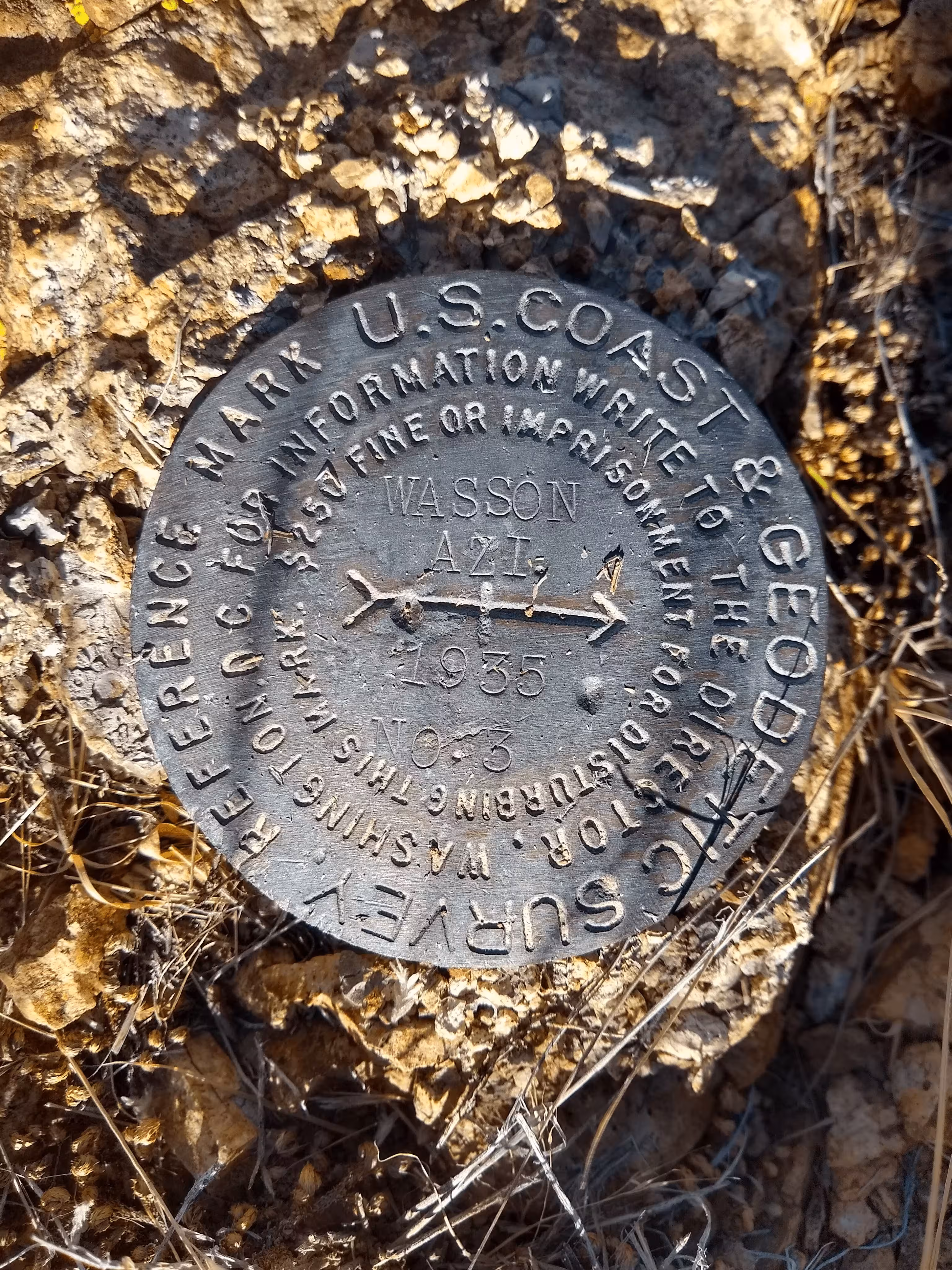
"WASSON AZI NO. 3"
| NGS PointID: | CH5701 |
| Reference Benchmarks: | WASSON, WASSON NO 1, WASSON NO 2 |
| Condition: | Minor ware and scratches present |
| Stamping: | WASSON AZI 1935 NO. 3 |
| Coordinates: | 32.272106, -111.149222 |
| Elevation: | 4567.9 ft (1392.3 m) |
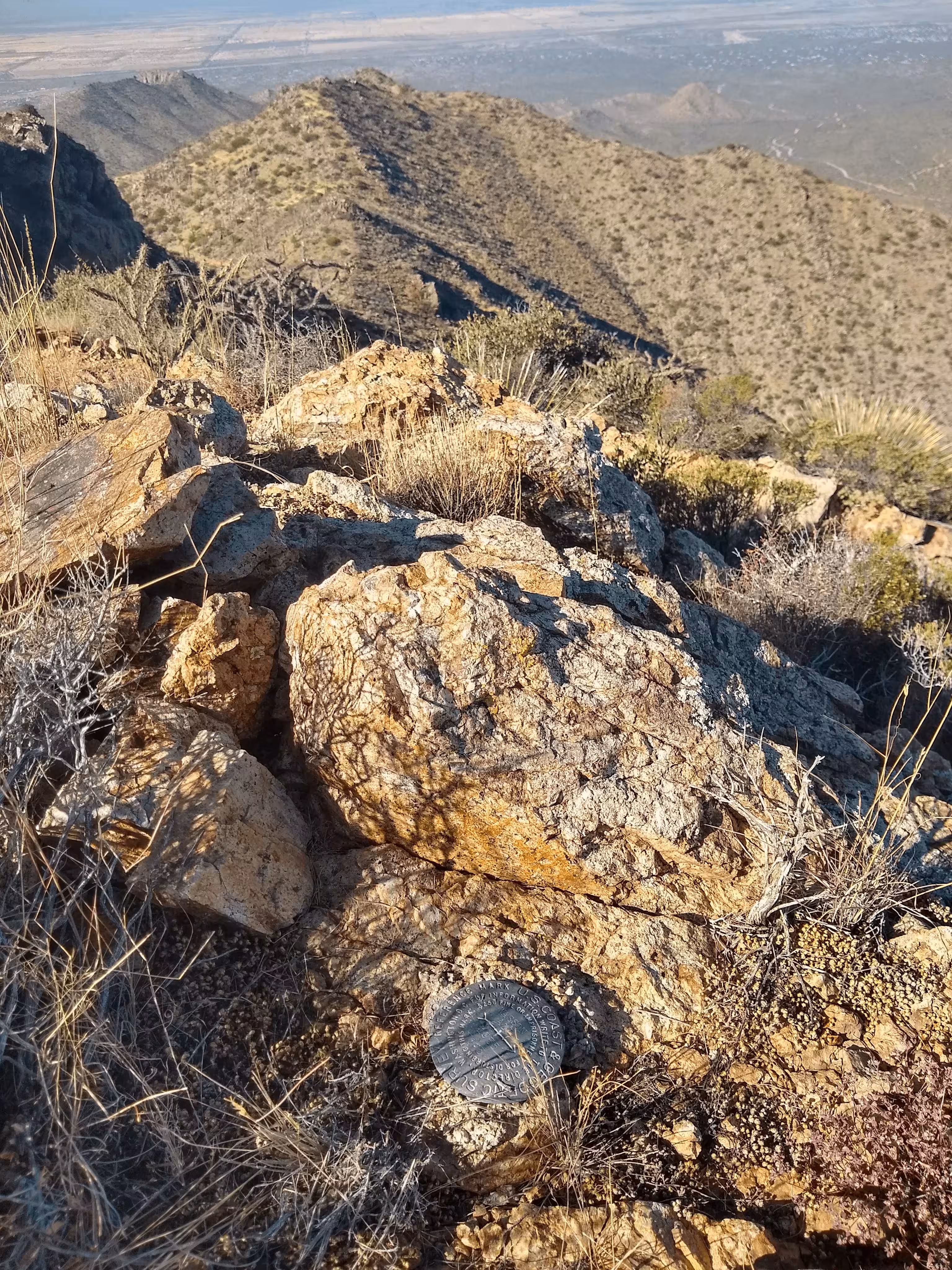
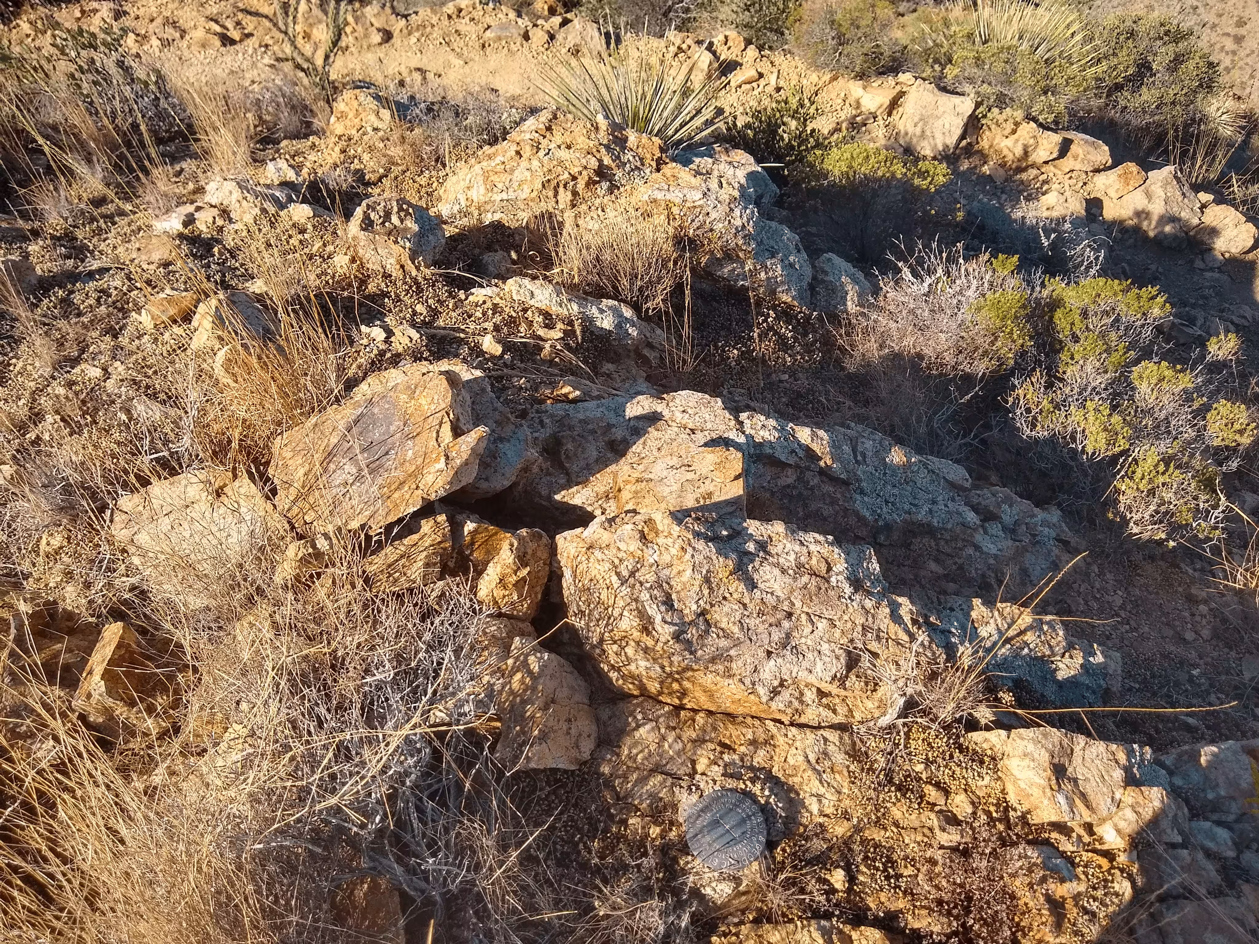
| Setting: | A rock outcrop |
| Monumentor: | USC&GS |
Datasheet Description:
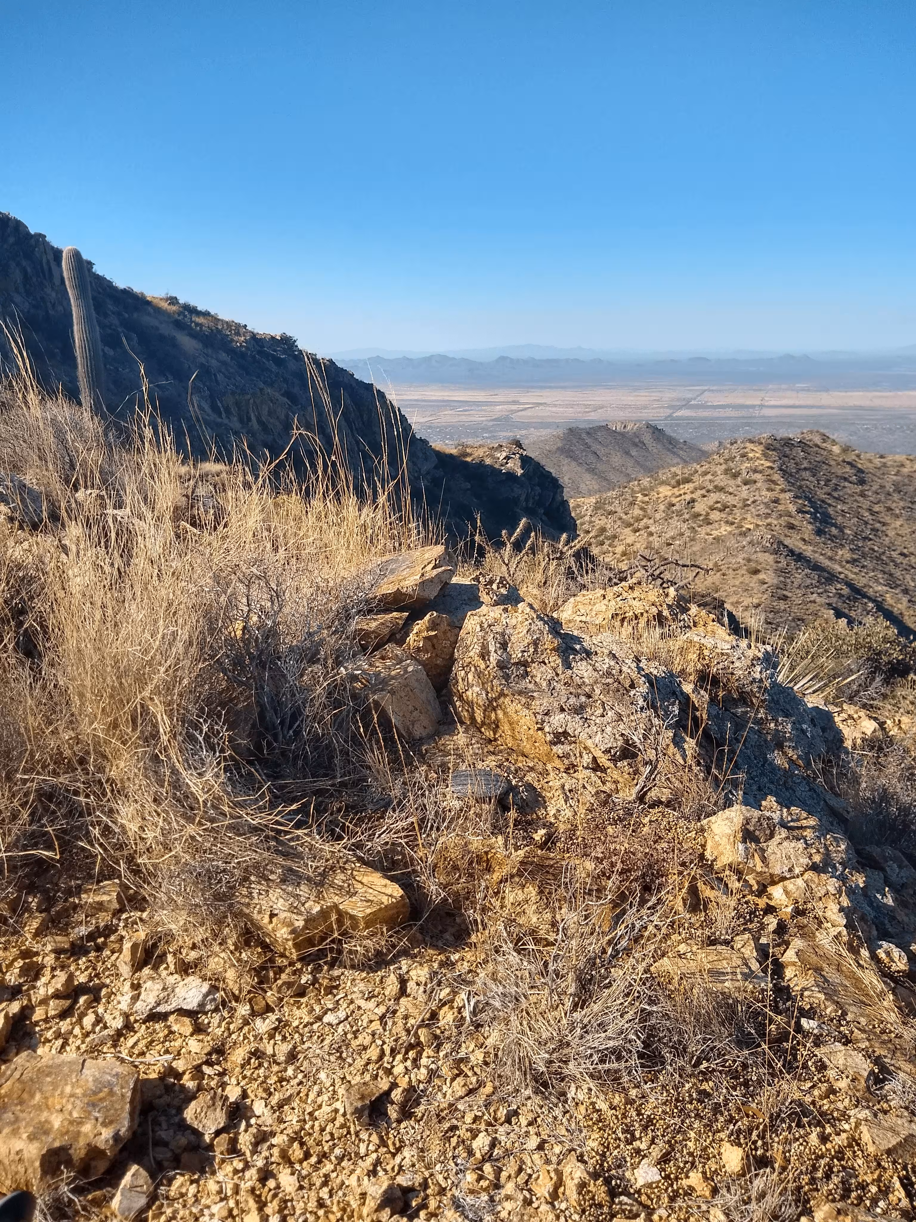
The station is about 8 miles northwest of Tucson on the summit of Wasson Peak.
To reach the station from the post office in Emery Park go north on U. S. Highway 89 for 2. 6 miles to the junction with State Highway 86, turn left, west, and follow State Highway 86 for 6.0 miles to a side road right, turn right and follow Macadam Road northeast towards the Arizona Sonora Desert Park for 8.0 miles to the park on the left and a sign King Canyon on the right, turn right as per sign and follow the graveled road northeast for 1.0 mile to the entrance to the Mam-a-gah Picnic Area. Here turn right and follow the Wasson Trail northeast for 0.7 mile to the end of truck travel at the remains of an old mine. From here pack northwest to the crest of a ridge and a well traveled foot trail, follow this foot trail to the summit of the peak and the station.
The station mark, stamped WASSON 1920, is a standard disk cemented in a drill hole in bedrock. It is on the highest part of the peak 9 feet east of a cairn.
Reference mark 1, stamped WASSON NO 1 1935, is a standard disk cemented in a drill hole in bedrock. It is 29 feet northeast of a cairn and 2 feet below station elevation.
Reference mark 2, stamped WASSON NO 2 1919, is a standard disk cemented in a drill hole in bedrock. It is 24 feet northwest of a cairn and 2-1/2 feet below station elevation.
The azimuth mark, stamped WASSON AZI. 1935 NO 3, is a standard reference mark cemented in a drill hole in bedrock. It is located along the southeast side of the foot trail and it is marked by a small cairn. It is flush with the found surface.
"WASSON AZI NO. 3" is a benchmark monumented by the USC&GS in 1935 located in Pima County, Arizona. It is a dedicated azimuth mark for WASSON, which has been destroyed.
The best way to get to "WASSON AZI NO. 3" is to start at the King Canyon Trailhead located off Kinney Road, just north of the Arizona Sonora Desert Museum. (32.247293, -111.167183)
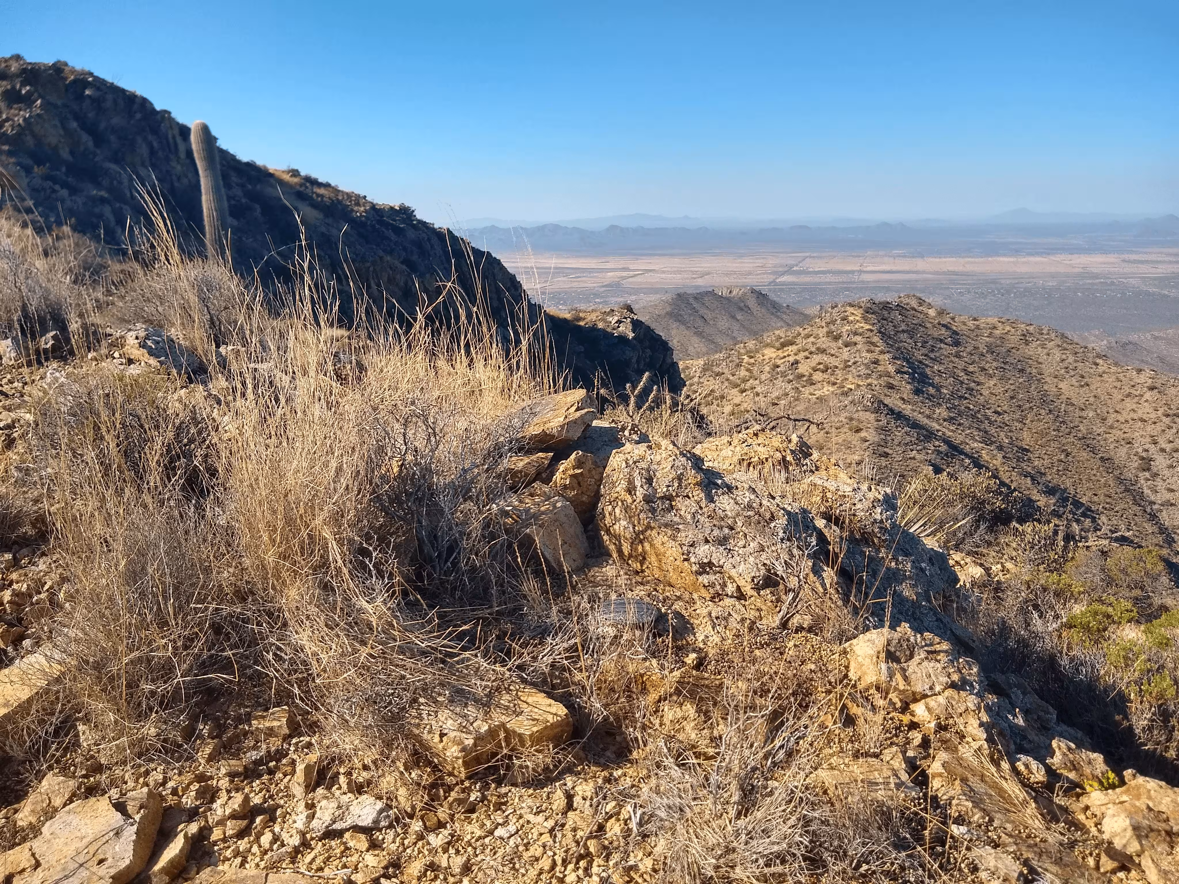
From the trailhead, follow the King Canyon Trail to the junction with the Hugh Norris Trail. From here continue along the trail for 270 feet to a ridge where the trail drops in elevation, going around the ridge. From this point, continue along the ridge for about 70 feet and to the disk.
"WASSON AZI NO. 3" is located approximately 780 feet or 238 meters 237 degrees from the main benchmark. It is located on a rock outcrop.