|
|
Main benchmarks recovered in good or poor condition. |
|
|
Main benchmarks that have been destroyed. |
|
|
Reference benchmarks recovered in good or poor condition. |
|
|
Reference benchmarks that have been destroyed. |
|
|
Azimuth benchmarks recovered in good or poor condition. |
|
|
Azimuth benchmarks that have been destroyed. |
|
|
A main, reference, or azimuth benchmark not searched for. |
"WALLY"
| Condition: | Good wear |
| Stamping: | WALLY 1995 DETROIT DISTRICT |
| Coordinates: | 44.24825, -86.34832 |
| Elevation: | 586.3 ft (178.7 m) |
| Setting: | Concrete pier. |
| Monumentor: | USACE |
"WALLY" is a benchmark monumented by the USACE in 1995 located in Manistee County, Michigan.
The benchmark is at the bend of the south pier of the Manistee River.
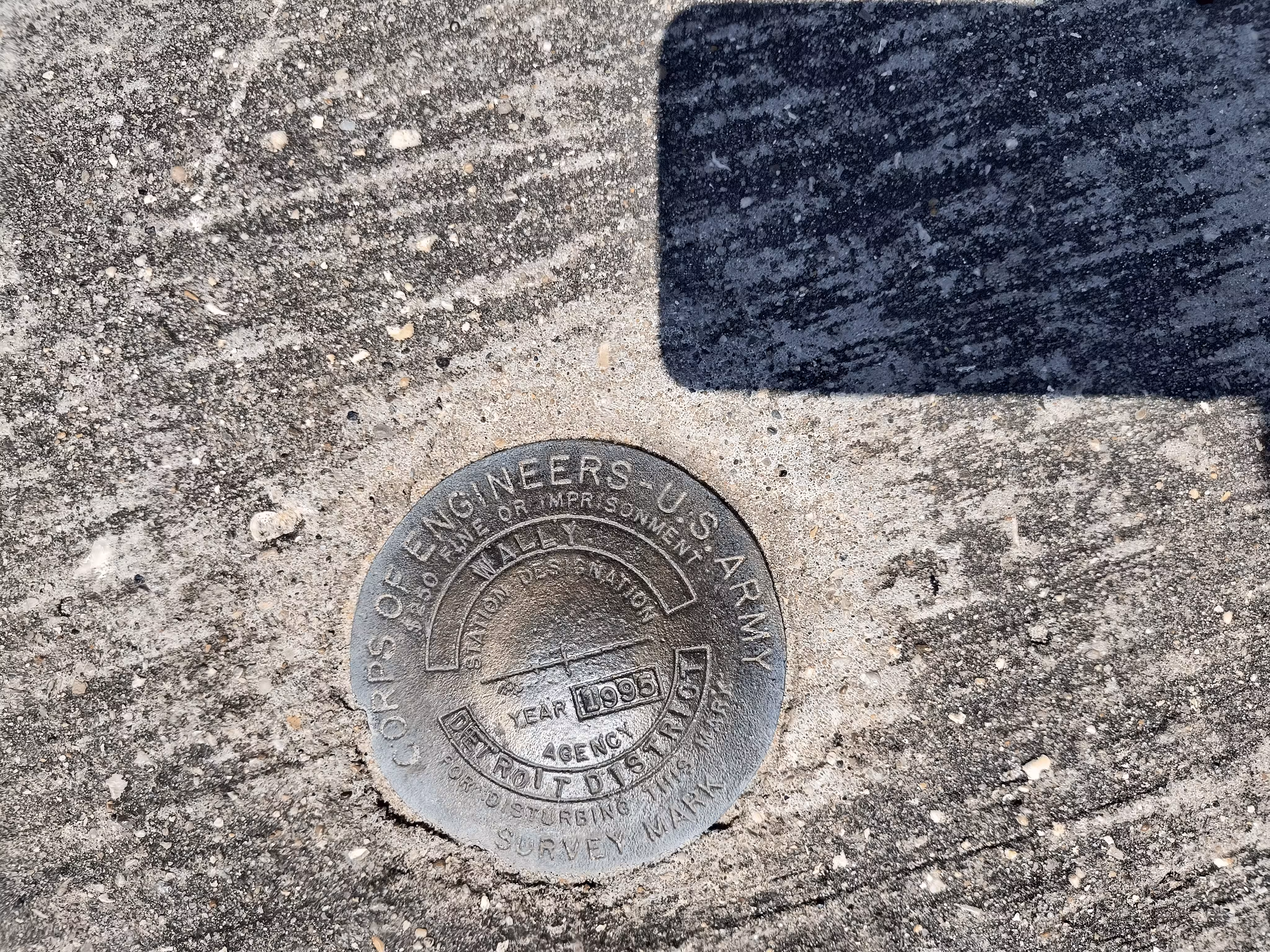
A closeup of WALLY.
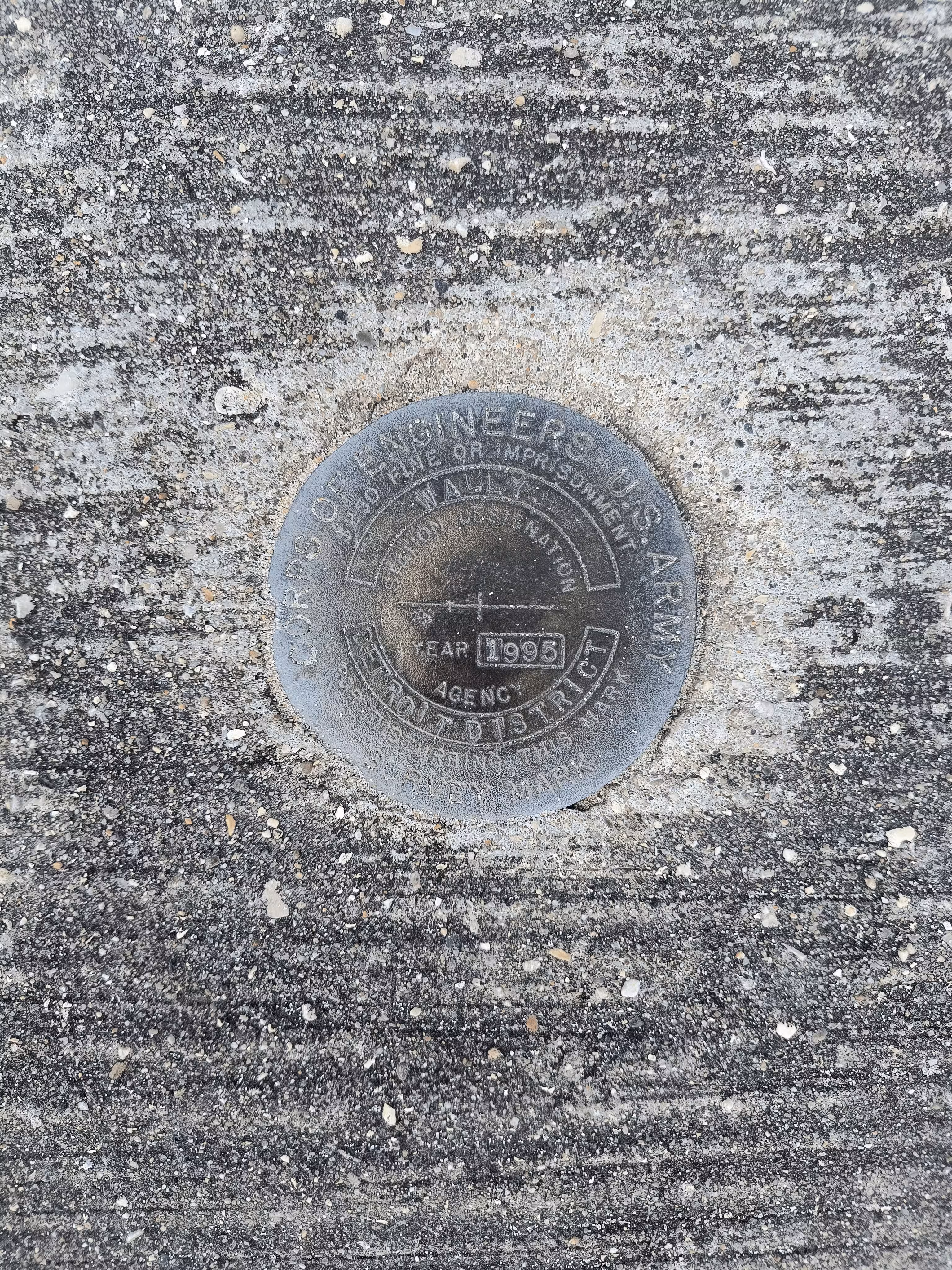
A closeup of WALLY.
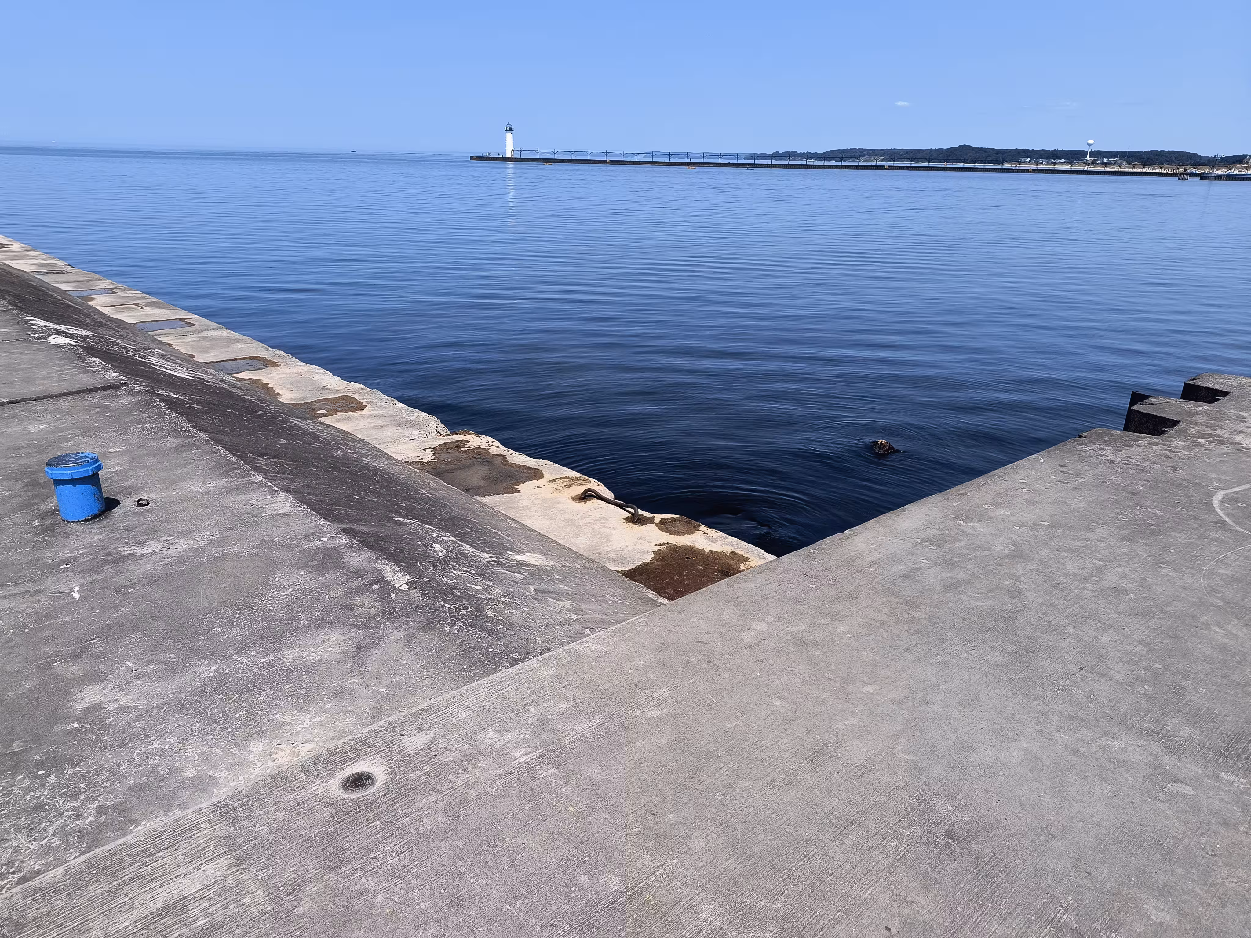
WALLY further back.