|
|
Main benchmarks recovered in good or poor condition. |
|
|
Main benchmarks that have been destroyed. |
|
|
Reference benchmarks recovered in good or poor condition. |
|
|
Reference benchmarks that have been destroyed. |
|
|
Azimuth benchmarks recovered in good or poor condition. |
|
|
Azimuth benchmarks that have been destroyed. |
|
|
A main, reference, or azimuth benchmark not searched for. |
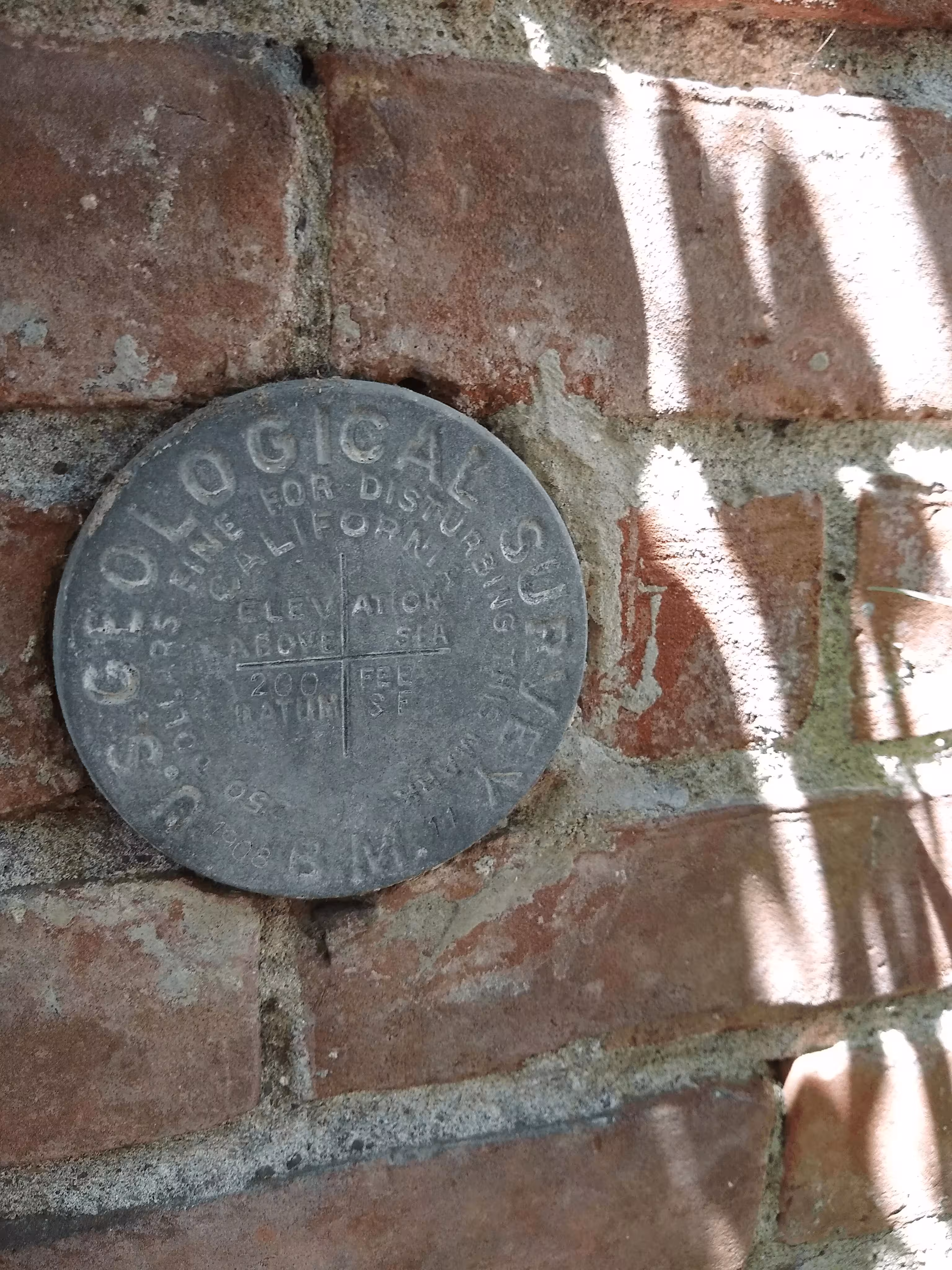
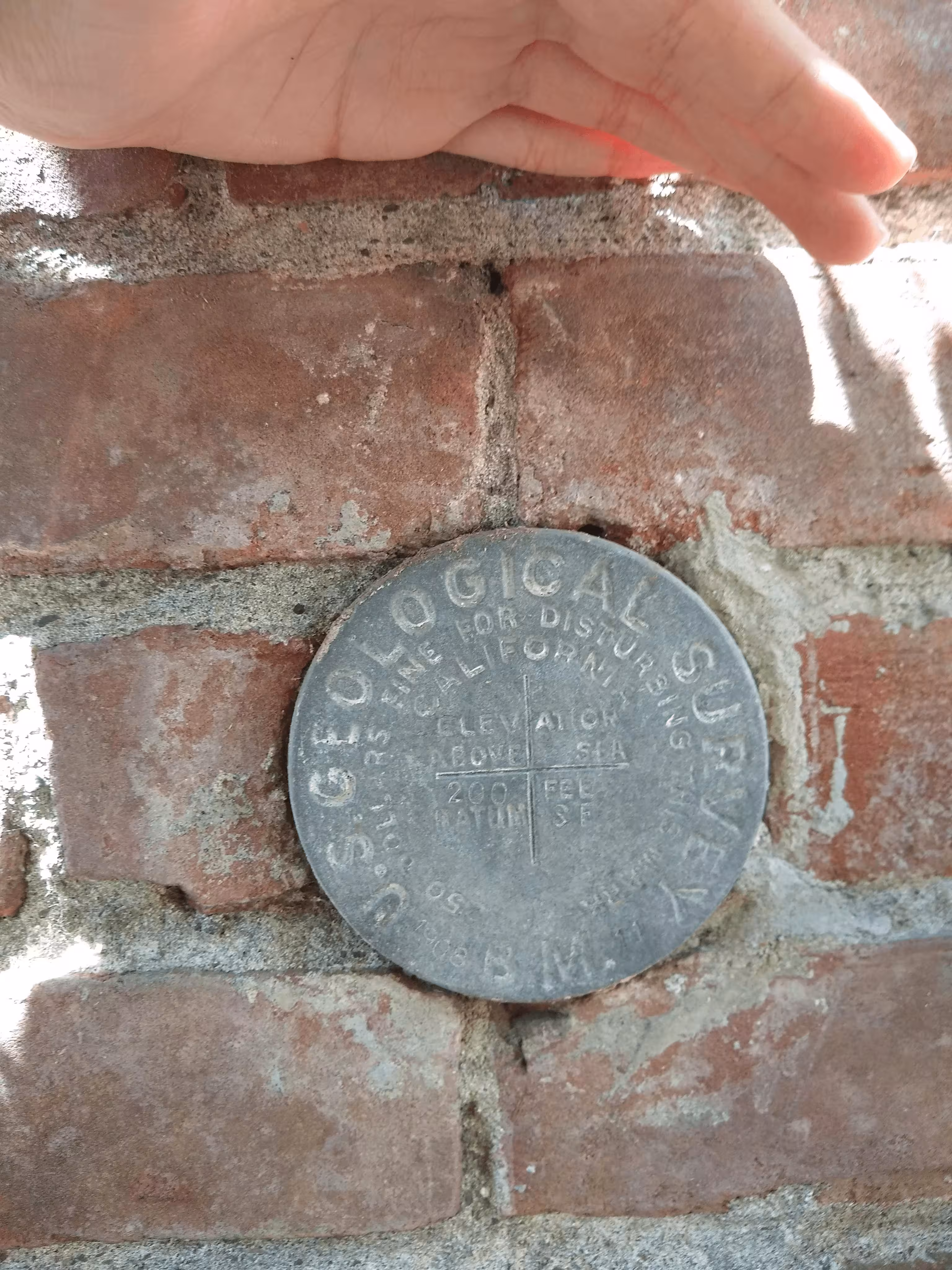
"SF 200"
| NGS PointID | HS2722 |
| Reference Benchmarks: | None |
| Condition: | Major ware. |
| Stamping: | 200 SF 1908 11 |
| Coordinates: | 37.00705, -121.56822 |
| Elevation: | 200.110 ft (14.117 m) |
| Setting: | Vertically in a brick building. |
| Monumentor: | USGS |
Datasheet Description:
At Filroy, at the intersection of Monterey and East Sixth streets, at the city hall, set vertically in the northeast brick wall, 3.4 feet northwest of the east corner, and 1.8 feet above the ground.
Old Datasheet Description:
Gilroy, in southeast corner of city hall ; aluminum tablet stamped "S. F. 190 1908 11"
"SF 200" is a benchmark monumented by the USGS in 1908 located in Santa Clara County, California.
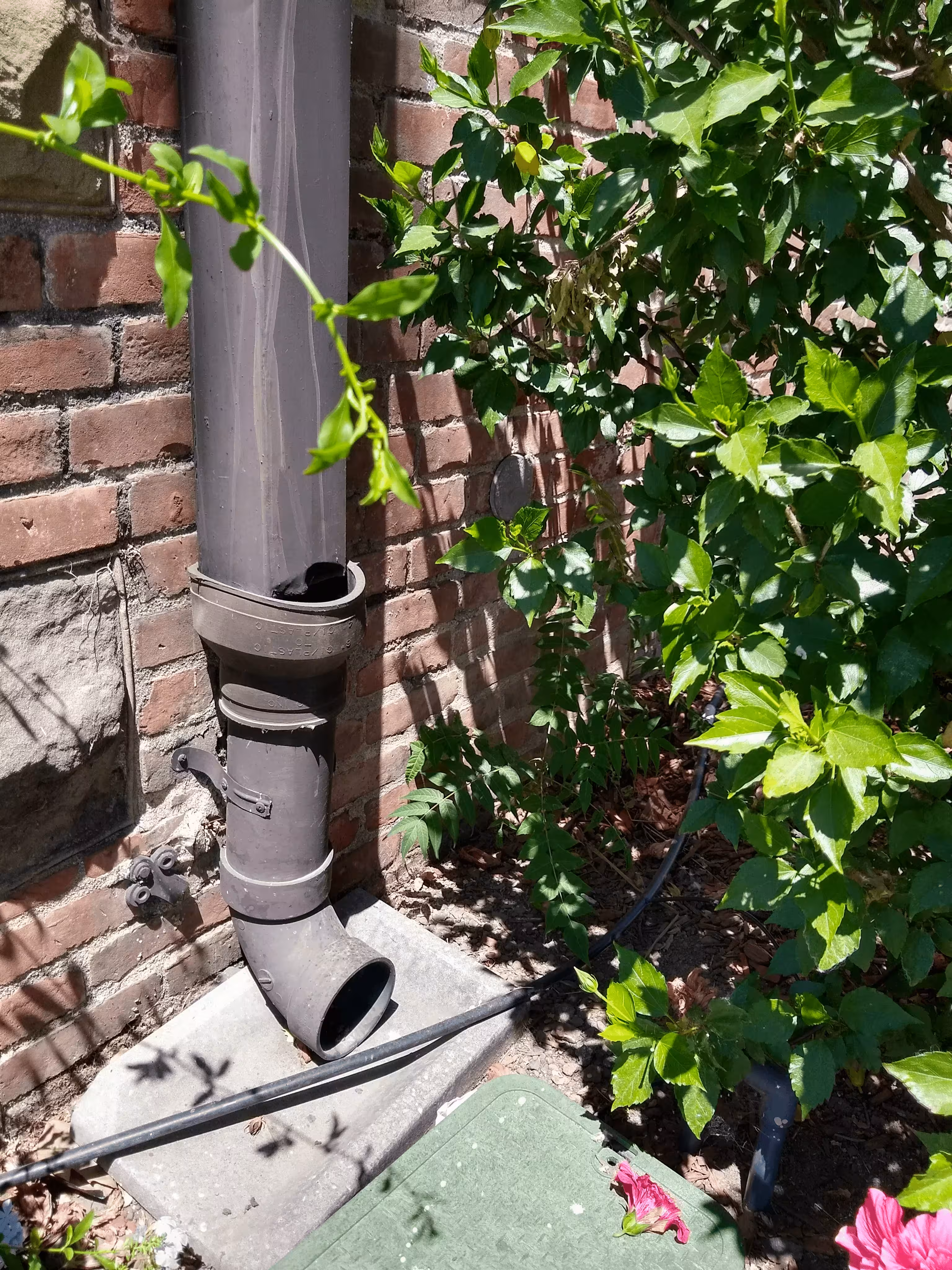
The benchmark is on the northeast wall of the old city hall. There are vines and growth covering the area around the benchmark so it will take a minute to find. It is set vertically.
It's reference code is 11, used for when engineers wrote to Washing DC so they could get updated data on the mark.