|
|
Main benchmarks recovered in good or poor condition. |
|
|
Main benchmarks that have been destroyed. |
|
|
Reference benchmarks recovered in good or poor condition. |
|
|
Reference benchmarks that have been destroyed. |
|
|
Azimuth benchmarks recovered in good or poor condition. |
|
|
Azimuth benchmarks that have been destroyed. |
|
|
A main, reference, or azimuth benchmark not searched for. |
"ROLLAND"
| Reference Benchmarks: | None |
| Condition: | Gashes and ware |
| Stamping: | ROLLAND 52AA 1953 MILWAUKEE |
| Coordinates: | 44.25179, -86.34694 |
| Elevation: | 559 ft (170 m) |
| Setting: | Concrete pier |
| Monumentor: | USACE |
"ROLLAND" is a benchmark monumented by the USACE in 1953 located in Manistee County, Michigan.
The benchmark is near the end of the Manistee North Pier, by the lighthouse. It is stamped to be apart of the Milwaukee District.
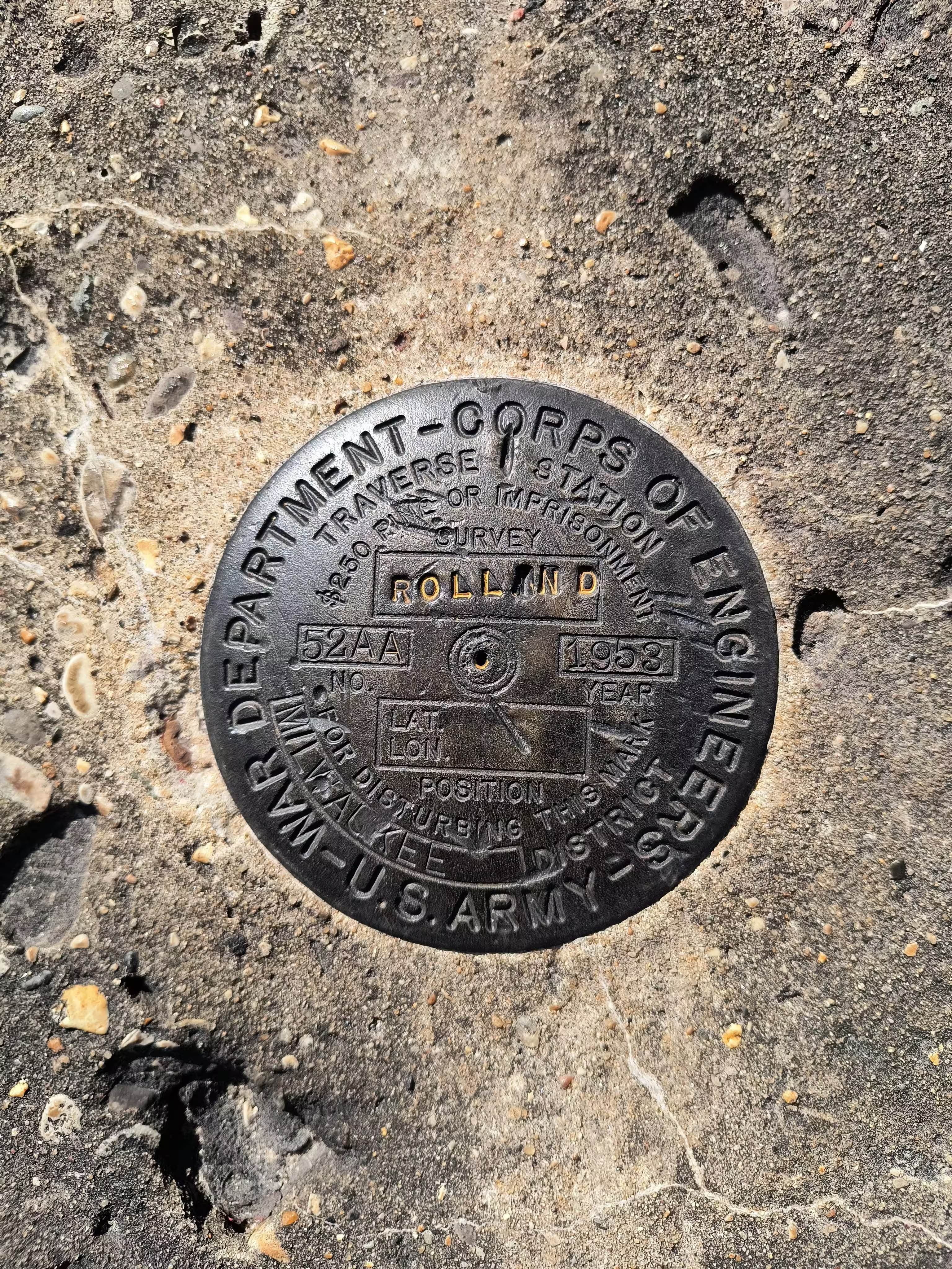
ROLLAND close up.