|
|
Main benchmarks recovered in good or poor condition. |
|
|
Main benchmarks that have been destroyed. |
|
|
Reference benchmarks recovered in good or poor condition. |
|
|
Reference benchmarks that have been destroyed. |
|
|
Azimuth benchmarks recovered in good or poor condition. |
|
|
Azimuth benchmarks that have been destroyed. |
|
|
A main, reference, or azimuth benchmark not searched for. |
"PRSCT 5557"
| Reference Benchmarks: | None |
| Condition: | Worn in a sort of beaten way on top |
| Stamping: | PRSCT 5557 |
| Coordinates: | 34.5211, -112.3893 |
| Elevation: | 5564.346 ft (1696.013 m) |
| Setting: | The ground (pipe cap) |
| Monumentor: | USGS |
Datasheet Description:
Seven Mile House, 0.2 mile southeast of, in forks of Lynx Creek, Prescott and Lynx Creek Dam roads; iron post stamped "5557 PRSCT"
"PRSCT 5557" is a benchmark monumented by the USGS in 1903 located in Prescott, Arizona.
The mark is at the southeast side of the road.
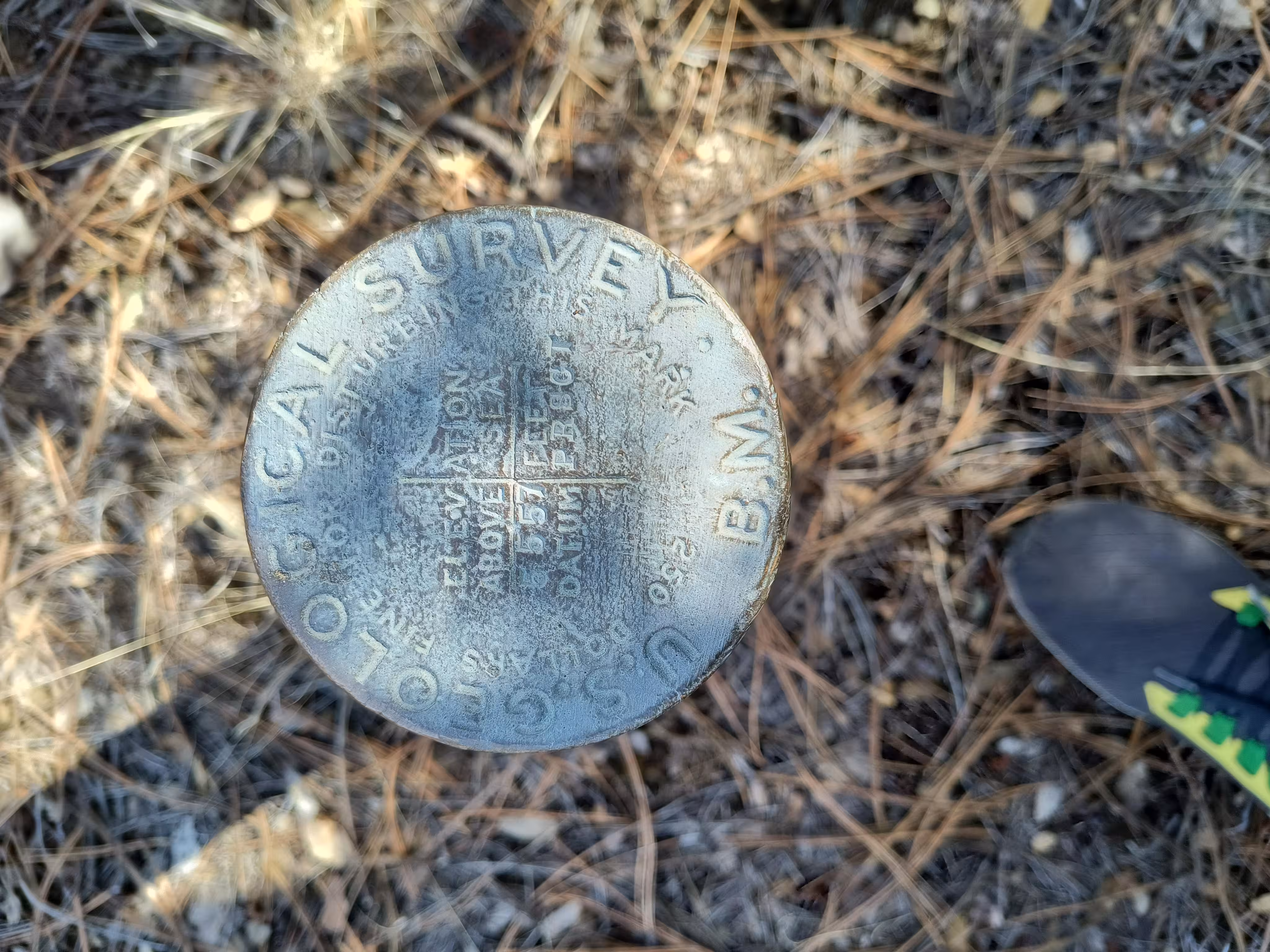
PRSCT 5557 close up.
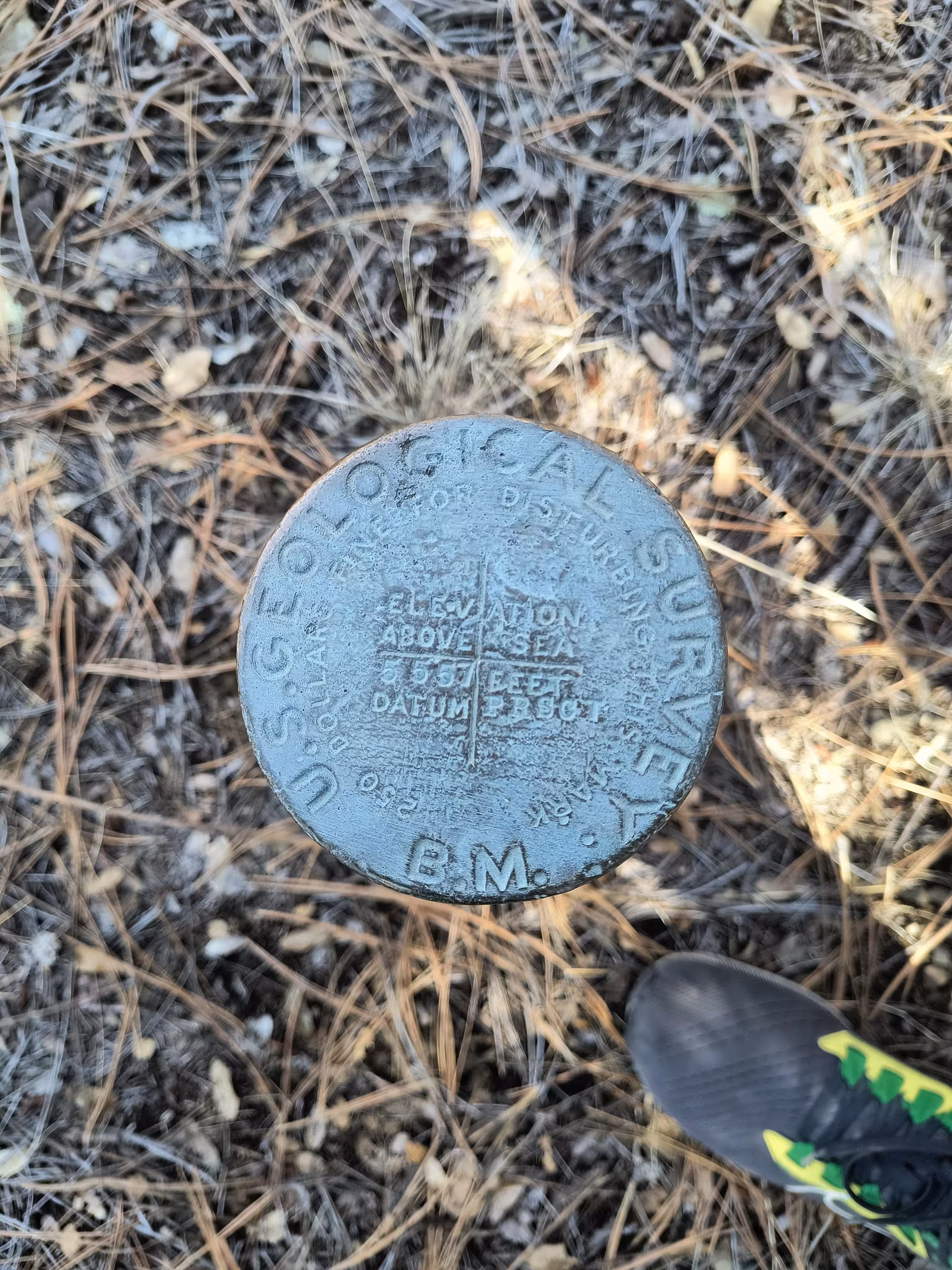
PRSCT 5557 close up in the shadow.
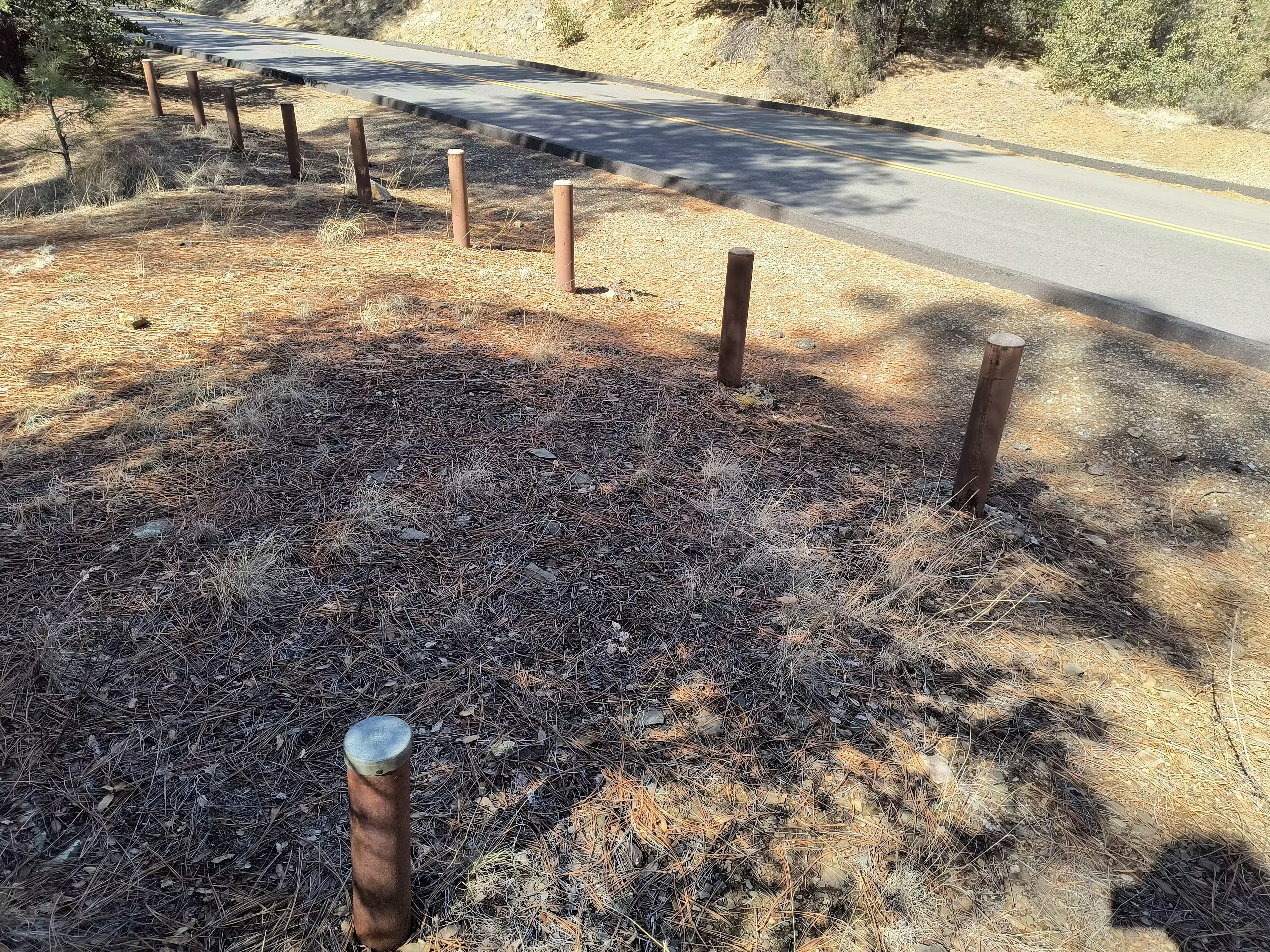
PRSCT 5557 with a view of the road.
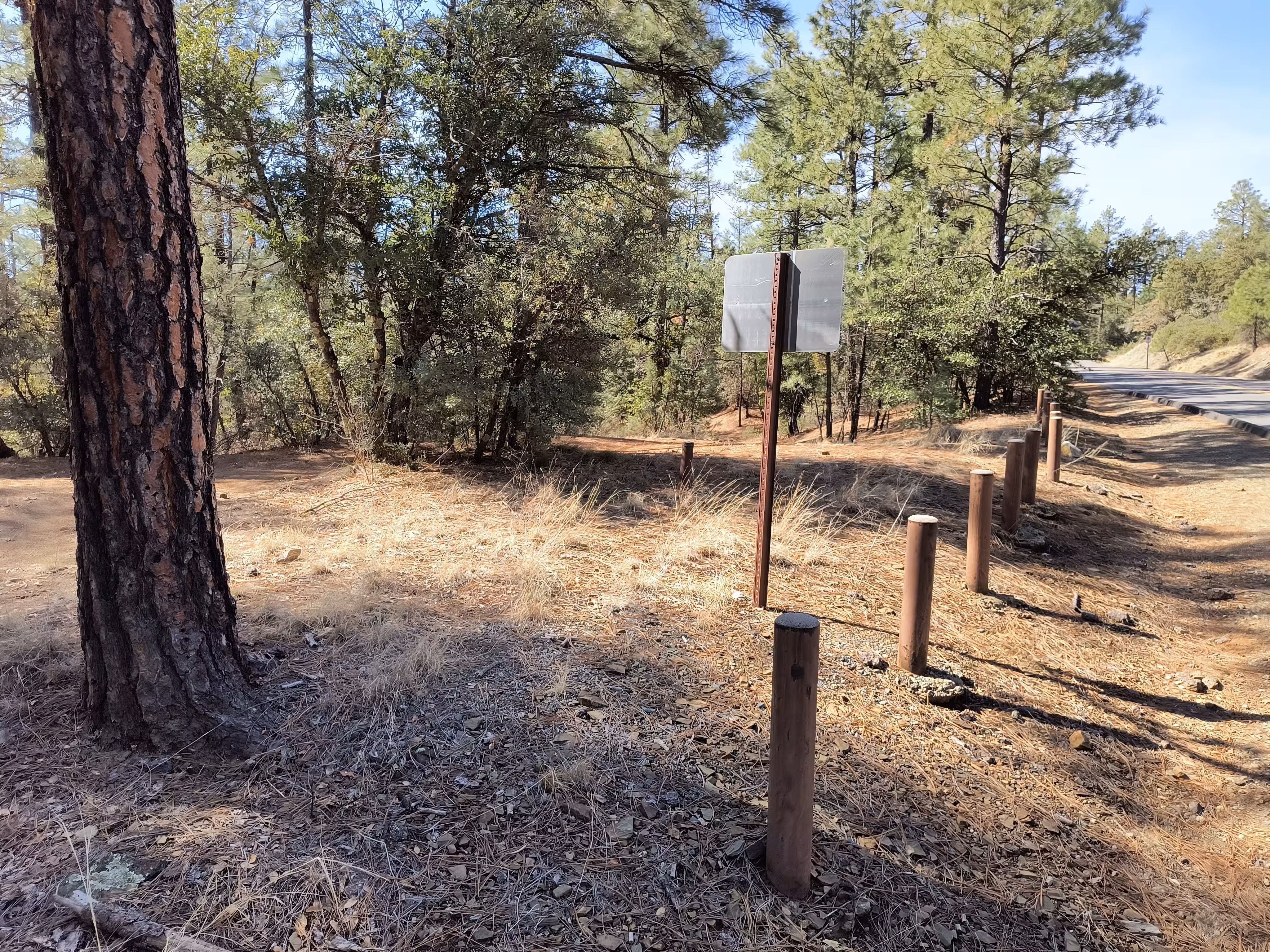
PRSCT 5557 from the edge of the road.