|
|
Main benchmarks recovered in good or poor condition. |
|
|
Main benchmarks that have been destroyed. |
|
|
Reference benchmarks recovered in good or poor condition. |
|
|
Reference benchmarks that have been destroyed. |
|
|
Azimuth benchmarks recovered in good or poor condition. |
|
|
Azimuth benchmarks that have been destroyed. |
|
|
A main, reference, or azimuth benchmark not searched for. |
"NOGLS 5496"
| Reference Benchmarks: | None |
| Condition: | Heavy scratching and ware. Notable projection from the ground |
| Stamping: | 5496 NOGLS |
| Coordinates: | 31.38648, -110.69171 |
| Elevation: | 5508.121 ft (1678.875 m) |
| Setting: | Pipe cap |
| Monumentor: | USGS |
Datasheet Description:
Washington, 0.2 mile north of, 15 feet east of road forks, on top of ridge; iron post stamped "5496 NOGLS"
"NOGLS 5496" is a benchmark monumented by the USGS in 1903 or 1904 located in Santa Cruz County, Arizona.
This disc is apart of the NOGLS vertical datum conducted during 1903, 1904, and 1905 across the Tucson area. To learn more about the NOGLS datum see this page.
The benchmark is at the junction of FR 61 and FR 49. It is to the east of the junction and prominently projects out of the ground. The pipe that the marker is on top of is painted white.
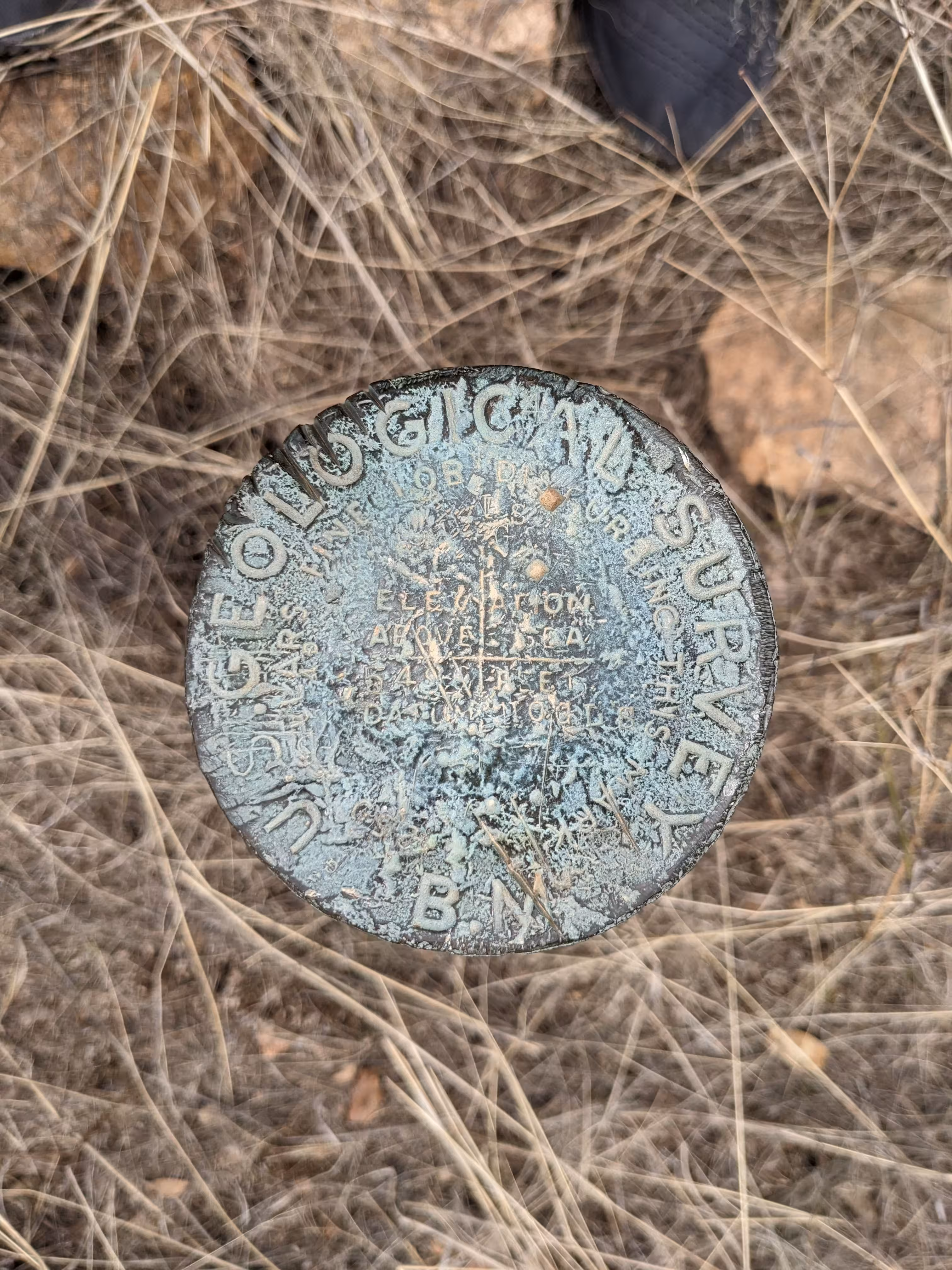
NOGLS 5496 close up.

NOGLS 5496 further back.
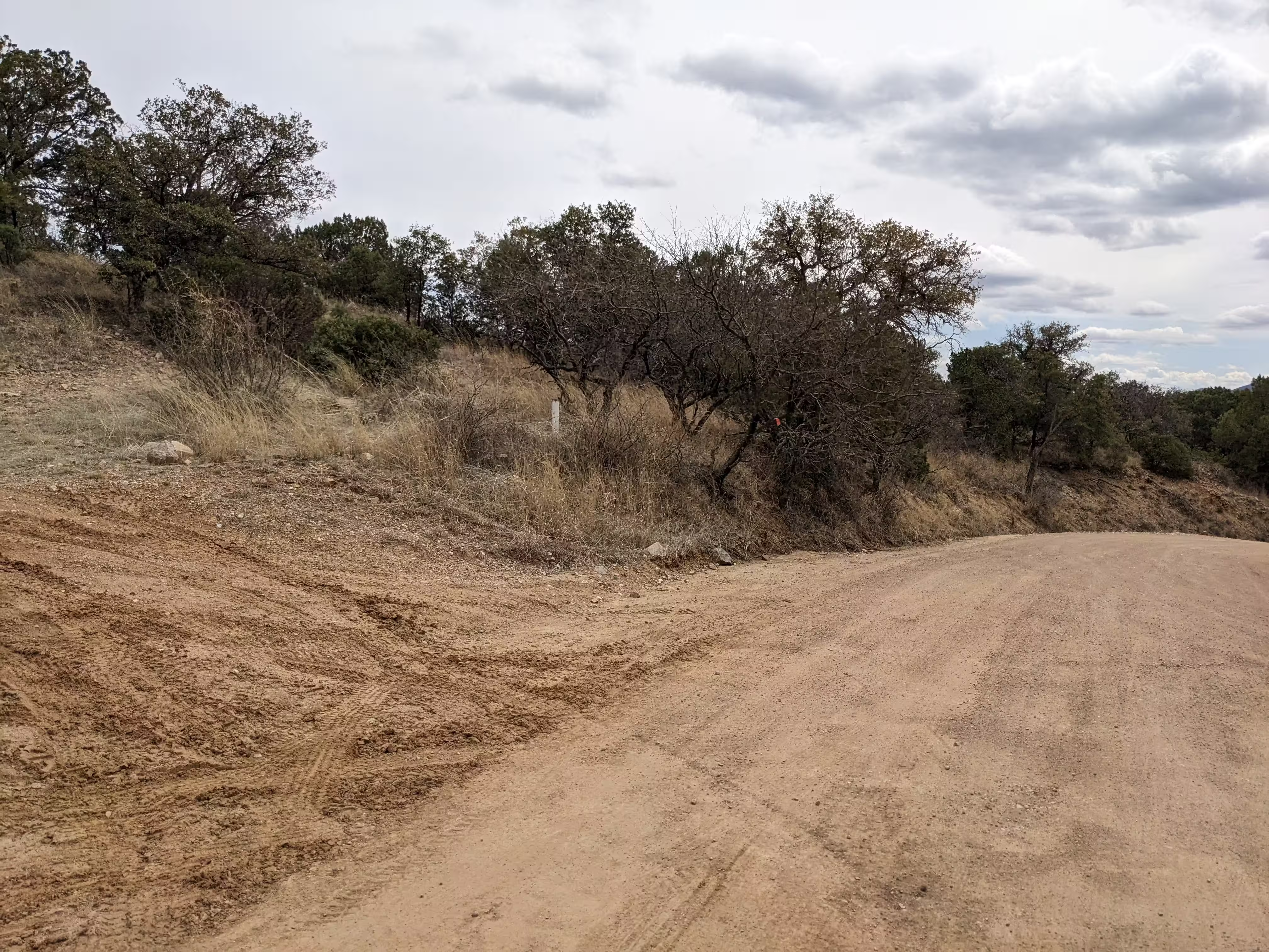
NOGLS 5496 from a distance.