|
|
Main benchmarks recovered in good or poor condition. |
|
|
Main benchmarks that have been destroyed. |
|
|
Reference benchmarks recovered in good or poor condition. |
|
|
Reference benchmarks that have been destroyed. |
|
|
Azimuth benchmarks recovered in good or poor condition. |
|
|
Azimuth benchmarks that have been destroyed. |
|
|
A main, reference, or azimuth benchmark not searched for. |
"NOGLS 5442"
| Reference Benchmarks: | None |
| Condition: | Ware, scratching, disk breaking around edges |
| Stamping: | ASA 1466 5442 NOGLS |
| Coordinates: | 31.50045, -110.55942 |
| Elevation: | 5454.630 ft (1662.571 m) |
| Setting: | Rock. |
| Monumentor: | USGS |
Datasheet Description:
Canelo Pass, 100 feet south of top in divide, 15 feet west of road, in granite' outcrop; aluminum tablet stamped "5442 NOGLS"
"NOGLS 5442" is a benchmark monumented by the USGS in 1903 or 1904 located in Santa Cruz County, Arizona.
This disc is apart of the NOGLS vertical datum conducted during 1903, 1904, and 1905 across the Tucson area. To learn more about the NOGLS datum see this page.
The benchmark is at Canelo Pass. It is set on a rock and is just east of a fence. It is about 50 feet (15 m) west of FR 799.
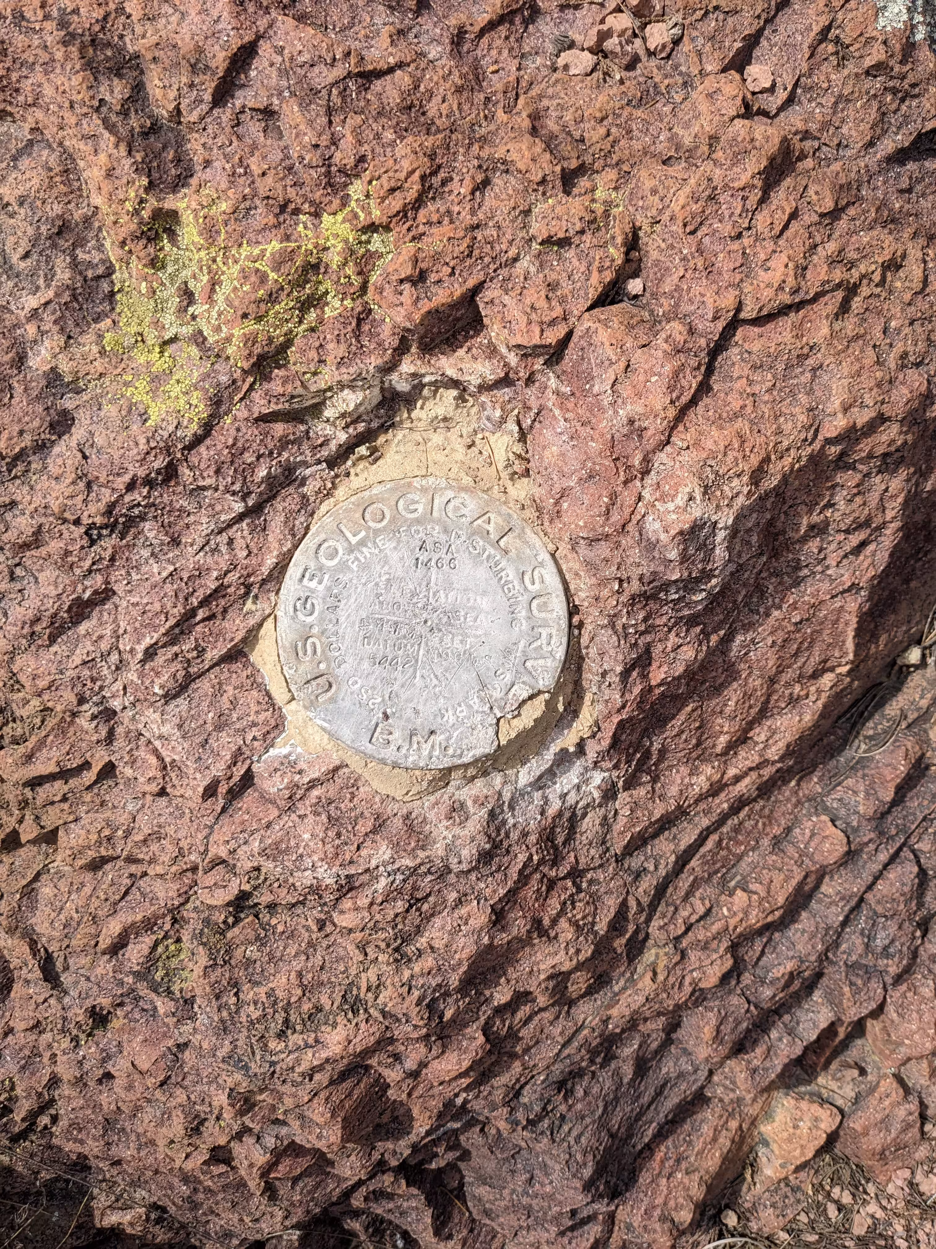
NOGLS 5442 close up.
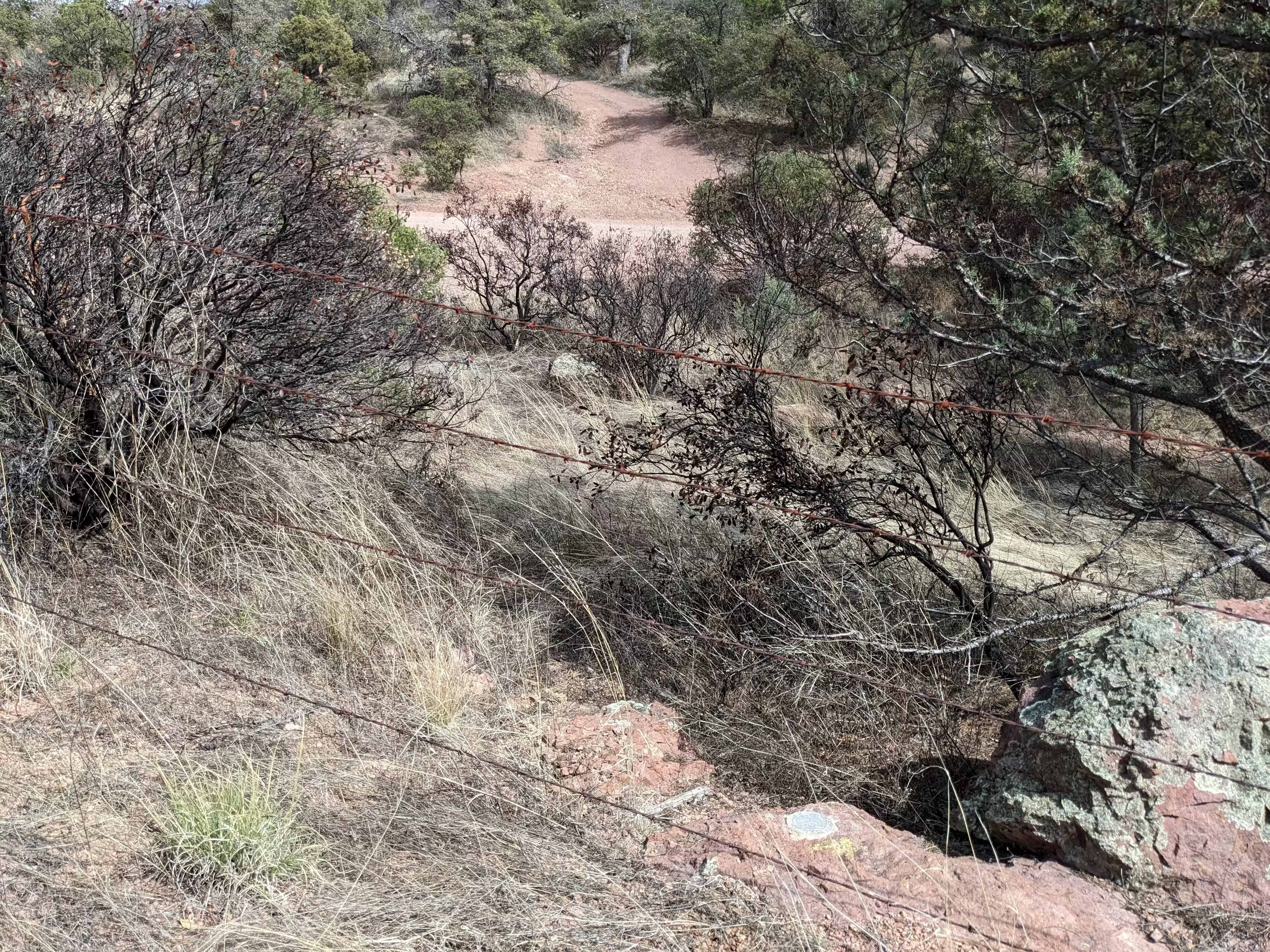
NOGLS 5442 further back.