|
|
Main benchmarks recovered in good or poor condition. |
|
|
Main benchmarks that have been destroyed. |
|
|
Reference benchmarks recovered in good or poor condition. |
|
|
Reference benchmarks that have been destroyed. |
|
|
Azimuth benchmarks recovered in good or poor condition. |
|
|
Azimuth benchmarks that have been destroyed. |
|
|
A main, reference, or azimuth benchmark not searched for. |
"NOGLS 4772"
| Condition: | Worn. |
| Stamping: | 4772 NOGLS |
| Coordinates: | 31.41942, -110.58703 |
| Elevation: | 4788 ft (1459 m) |
| Setting: | Pipe cap. |
| Monumentor: | USGS |
"NOGLS 4772" is a benchmark monumented by the USGS in 1903 or 1904 located in Santa Cruz County, Arizona.
This disc is apart of the NOGLS vertical datum conducted during 1903, 1904, and 1905 across the Tucson area. To learn more about the NOGLS datum see this page.
This disk was not described but was still included on topographic maps with the elevation 4775. However this elevation is not what is read in the stamping on the disk, unlike other benchmarks on the map. It is in a cow pasture about 140 feet (43 m) west of a fence.
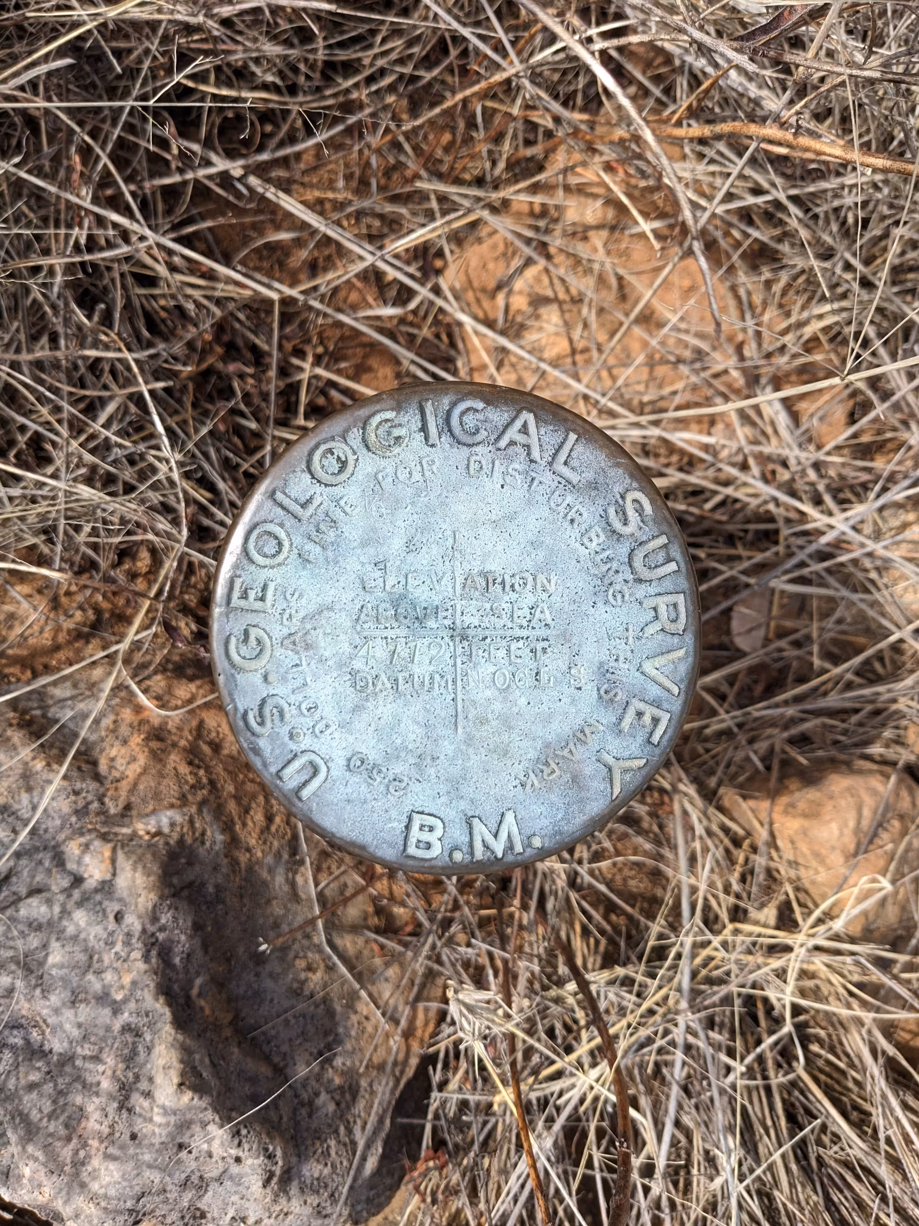
NOGLS 4772 close up.
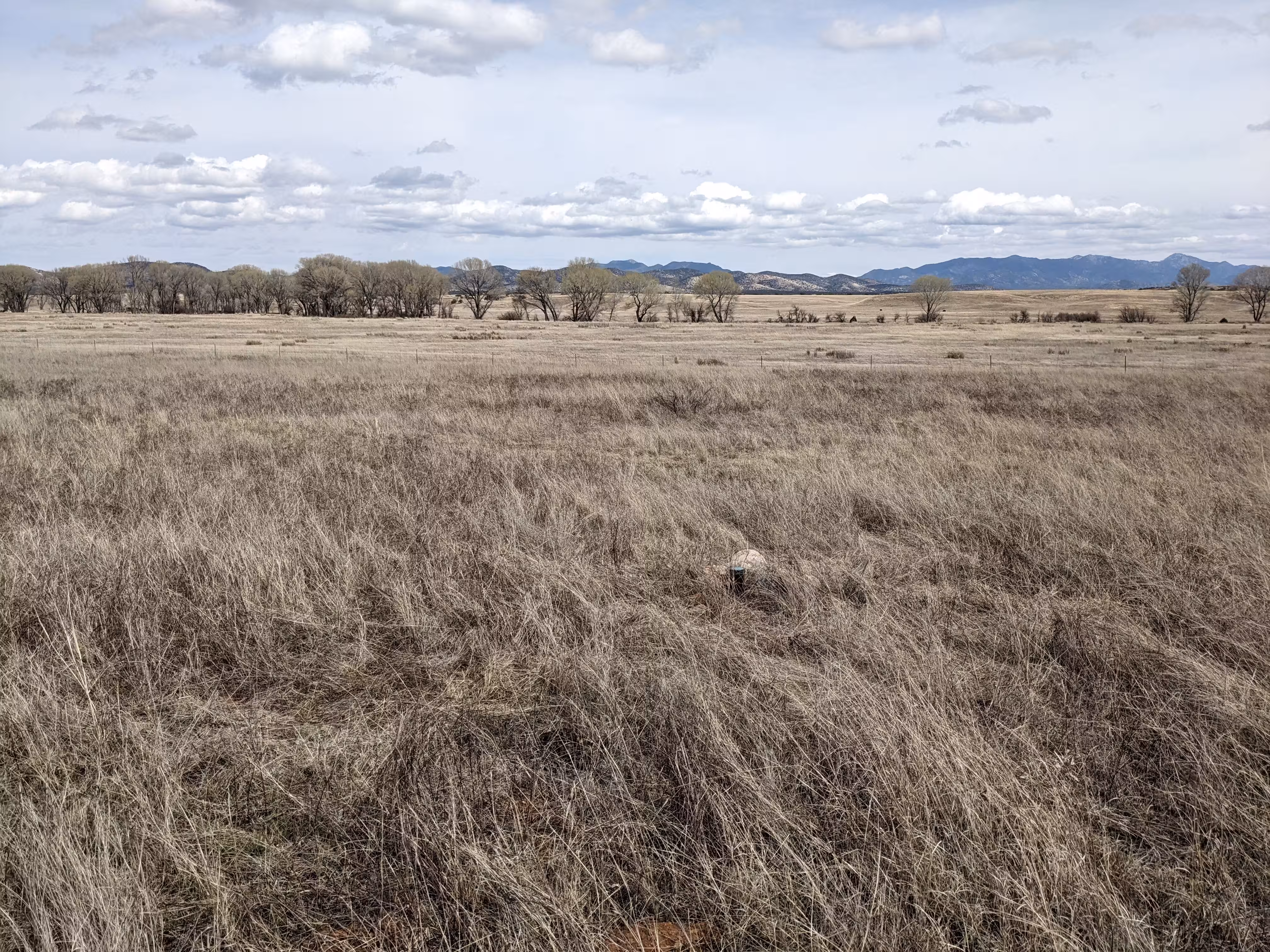
NOGLS 4772 a distance.