|
|
Main benchmarks recovered in good or poor condition. |
|
|
Main benchmarks that have been destroyed. |
|
|
Reference benchmarks recovered in good or poor condition. |
|
|
Reference benchmarks that have been destroyed. |
|
|
Azimuth benchmarks recovered in good or poor condition. |
|
|
Azimuth benchmarks that have been destroyed. |
|
|
A main, reference, or azimuth benchmark not searched for. |
"NOGLS 4653"
| Condition: | Worn and a chunk of disk missing. |
| Stamping: | 4653 NOGLS |
| Coordinates: | 31.48361, -110.69555 |
| Elevation: | 4465.998 ft (1361.236 m) |
| Setting: | Rock. |
| Monumentor: | USGS |
Datasheet Description:
A. B. Sorrell ranch house, 500 feet east of, 75 feet east of road, in igneous rock outcrop; aluminum tablet stamped "4653 NOGLS"
"NOGLS 4653" is a benchmark monumented by the USGS in 1903 located in Santa Cruz County, Arizona.
This disc is apart of the NOGLS vertical datum conducted during 1903, 1904, and 1905 across the Tucson area. To learn more about the NOGLS datum see this page.
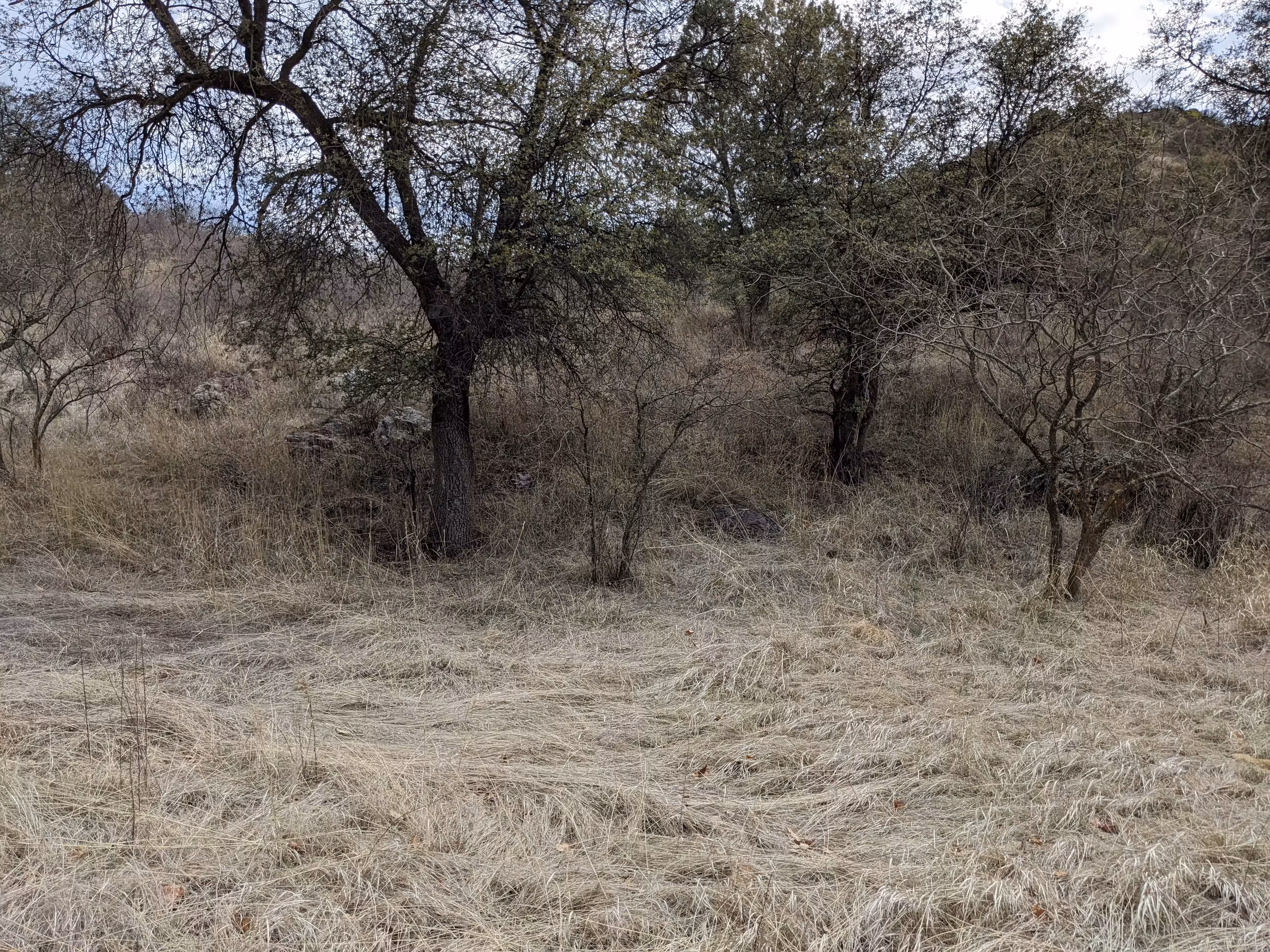
On the west side of the road, a couple feet above road level. See picture.

NOGLS 4653 close up.

NOGLS 4653 a distance. Notice the arrow.
NOGLS 4653 a distance. (no arrow)