|
|
Main benchmarks recovered in good or poor condition. |
|
|
Main benchmarks that have been destroyed. |
|
|
Reference benchmarks recovered in good or poor condition. |
|
|
Reference benchmarks that have been destroyed. |
|
|
Azimuth benchmarks recovered in good or poor condition. |
|
|
Azimuth benchmarks that have been destroyed. |
|
|
A main, reference, or azimuth benchmark not searched for. |
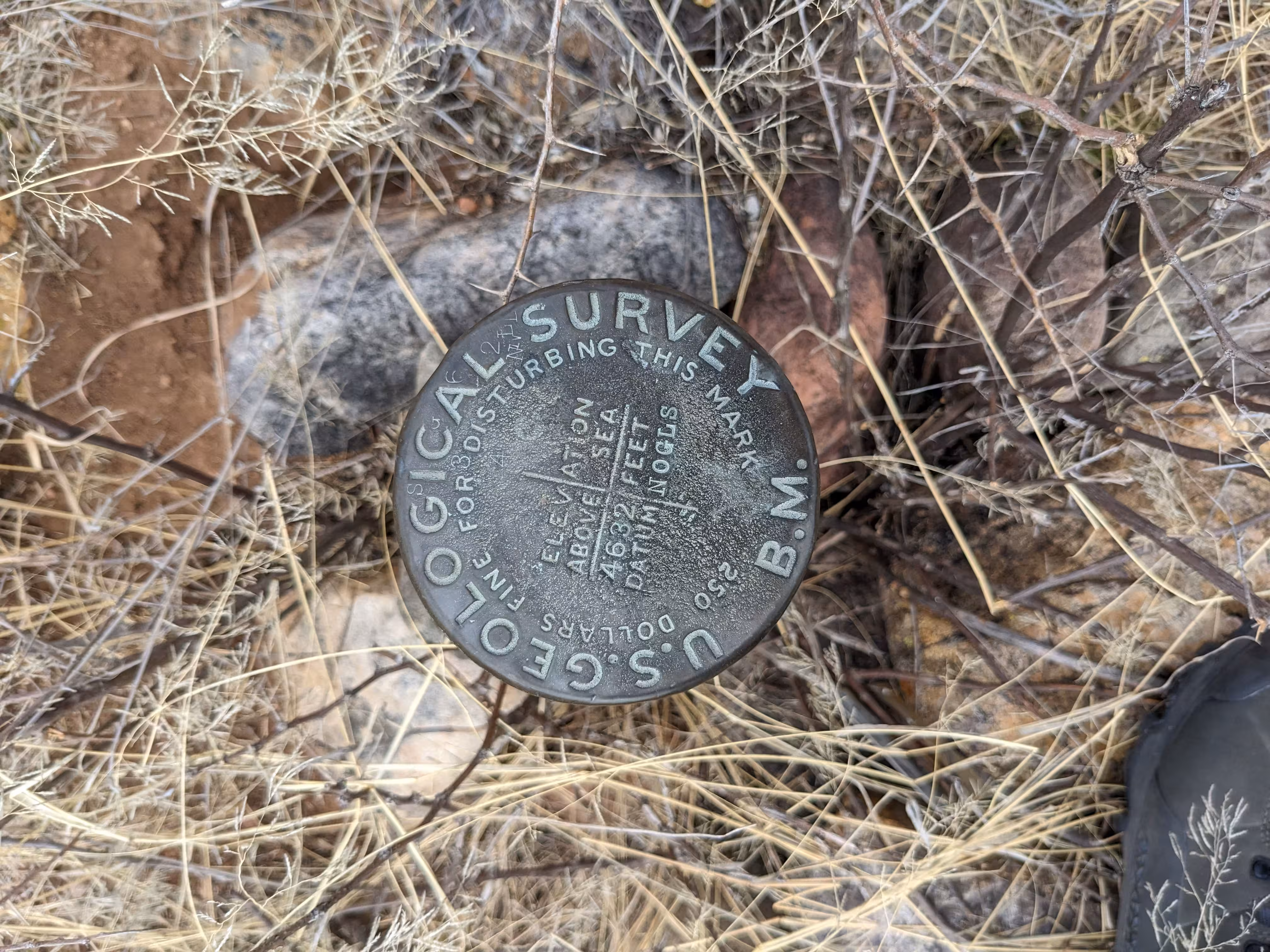
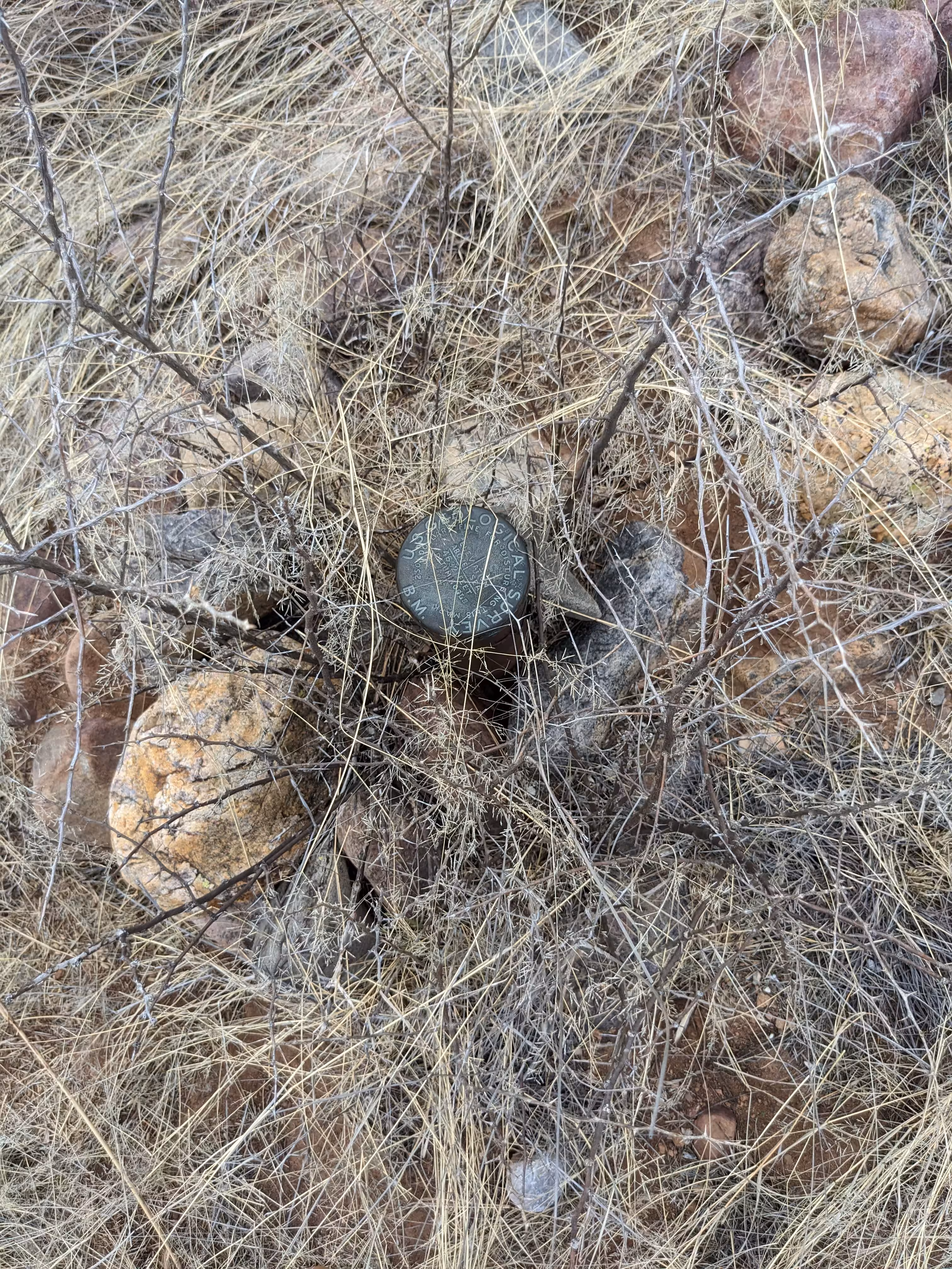
"NOGLS 4632"
| Reference Benchmarks: | None |
| Condition: | Minor ware |
| Stamping: | 4632 NOGLS |
| Coordinates: | 31.78098, -110.64286 |
| Elevation: | 4644.158 ft (1415.539 m) |
| Setting: | Pipe cap. |
| Monumentor: | USGS |
Datasheet Description:
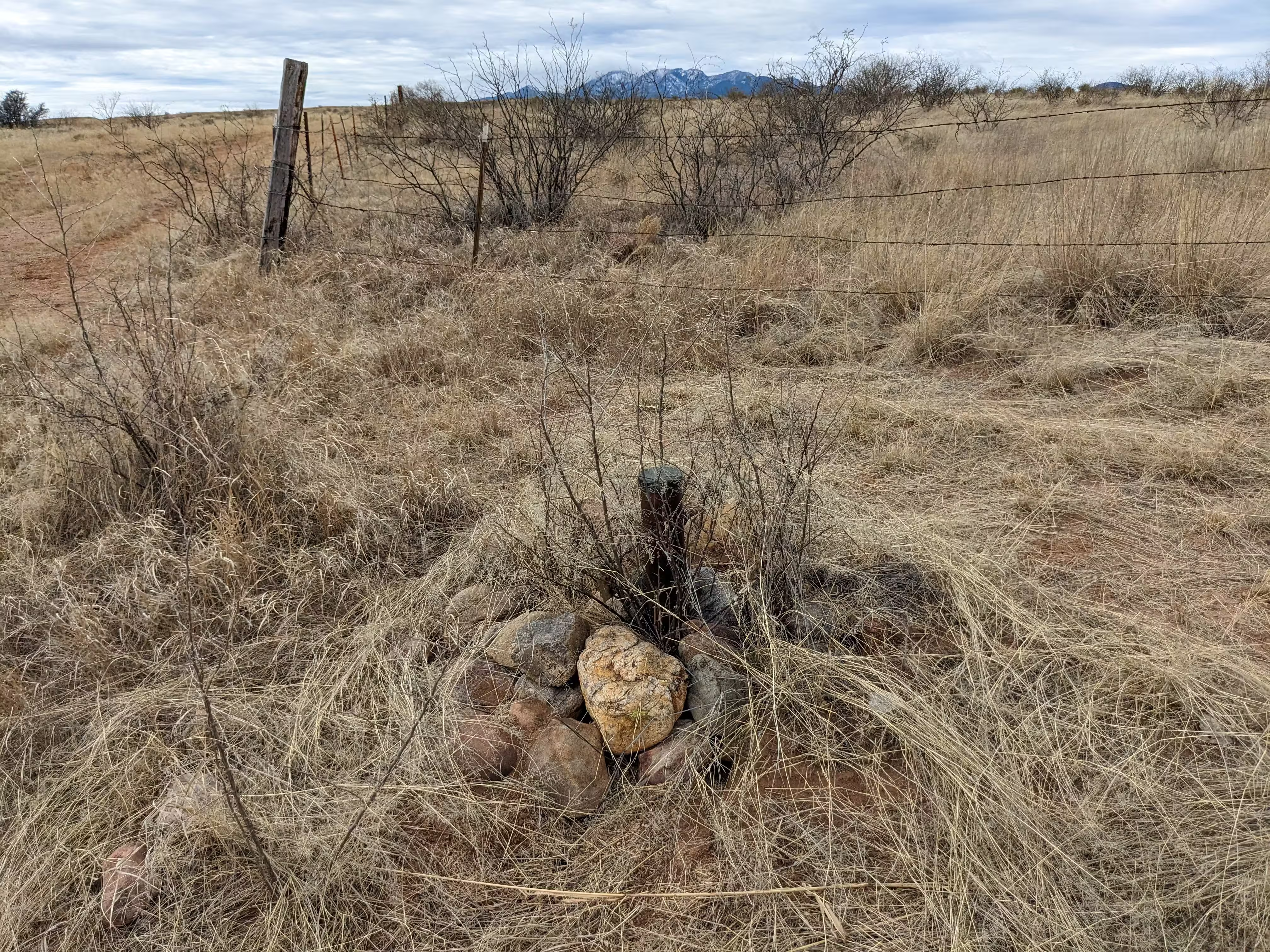
Empire ranch house, 0.25 mile south of, west side of road forks, 10 feet north of 12-inch mesquite tree utilized as fence corner post; iron post stamped "4632 NOGLS"
"NOGLS 4632" is a benchmark monumented by the USGS in 1903 or 1904 located in Pima County, Arizona.
This disc is apart of the NOGLS vertical datum conducted during 1903, 1904, and 1905 across the Tucson area. To learn more about the NOGLS datum see this page.
To reach the benchmark, turn east onto East Empire Ranch Road from AZ 83 for 2.8 miles. The benchmark is by the fence turn. The mesquite tree mentioned in the description is no longer present.