|
|
Main benchmarks recovered in good or poor condition. |
|
|
Main benchmarks that have been destroyed. |
|
|
Reference benchmarks recovered in good or poor condition. |
|
|
Reference benchmarks that have been destroyed. |
|
|
Azimuth benchmarks recovered in good or poor condition. |
|
|
Azimuth benchmarks that have been destroyed. |
|
|
A main, reference, or azimuth benchmark not searched for. |
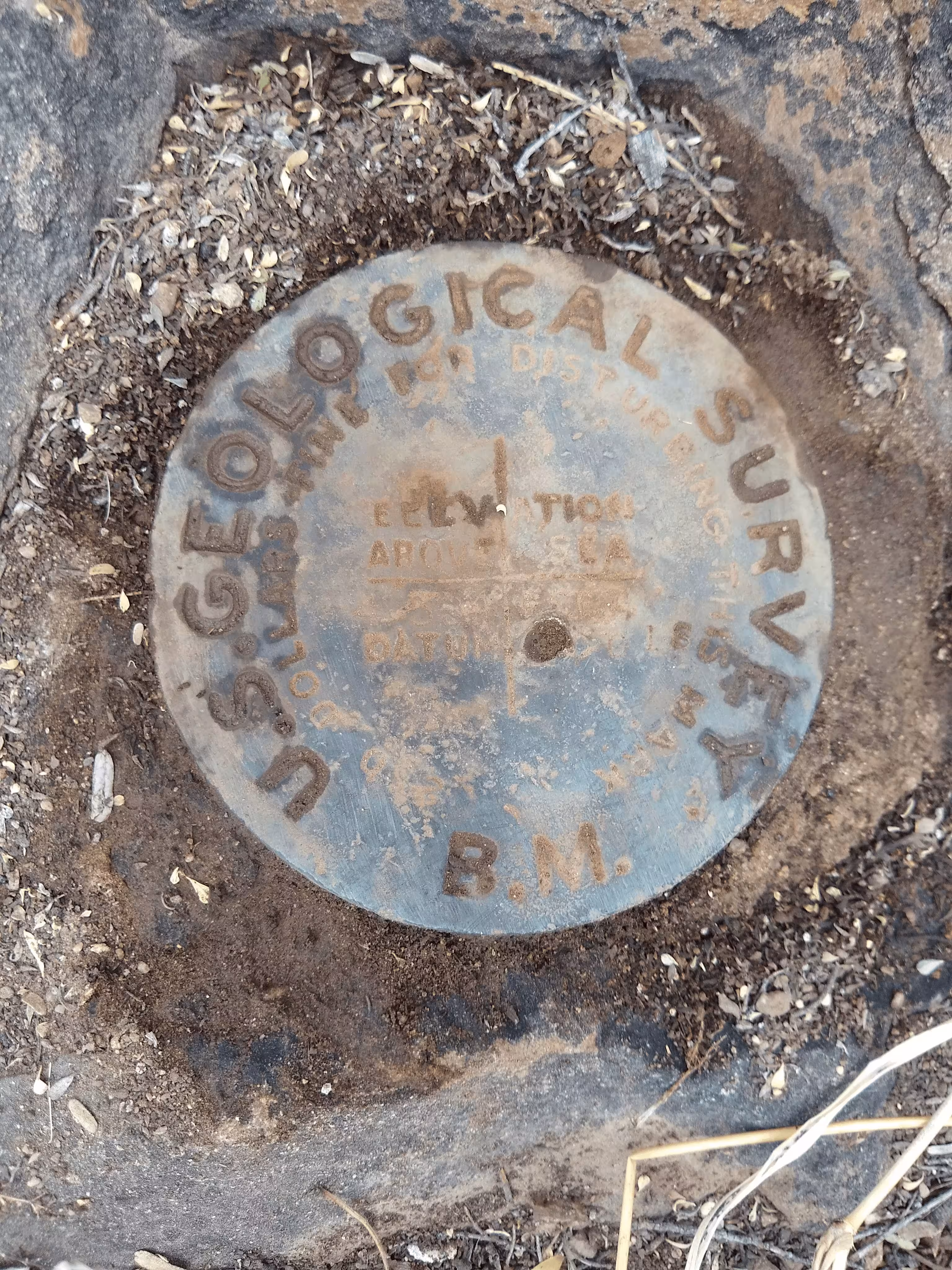
"NOGLS 4534"
| Reference Benchmarks: | None |
| Condition: | Strong ware present |
| Stamping: | 4534 NOGLS |
| Coordinates: | 31.846934, -110.711022 |
| Elevation: | 4546.278 ft (1385.706 m) |
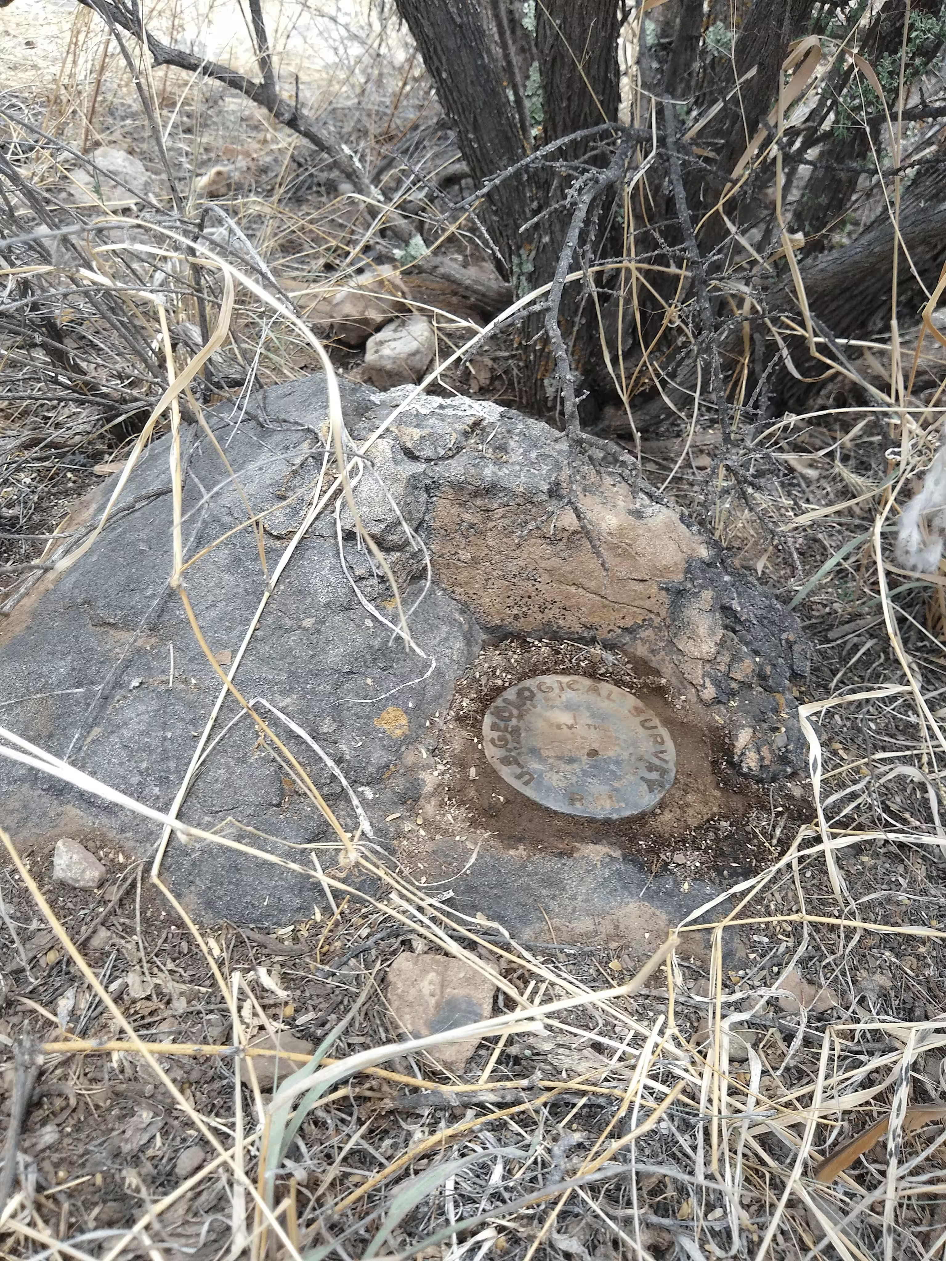
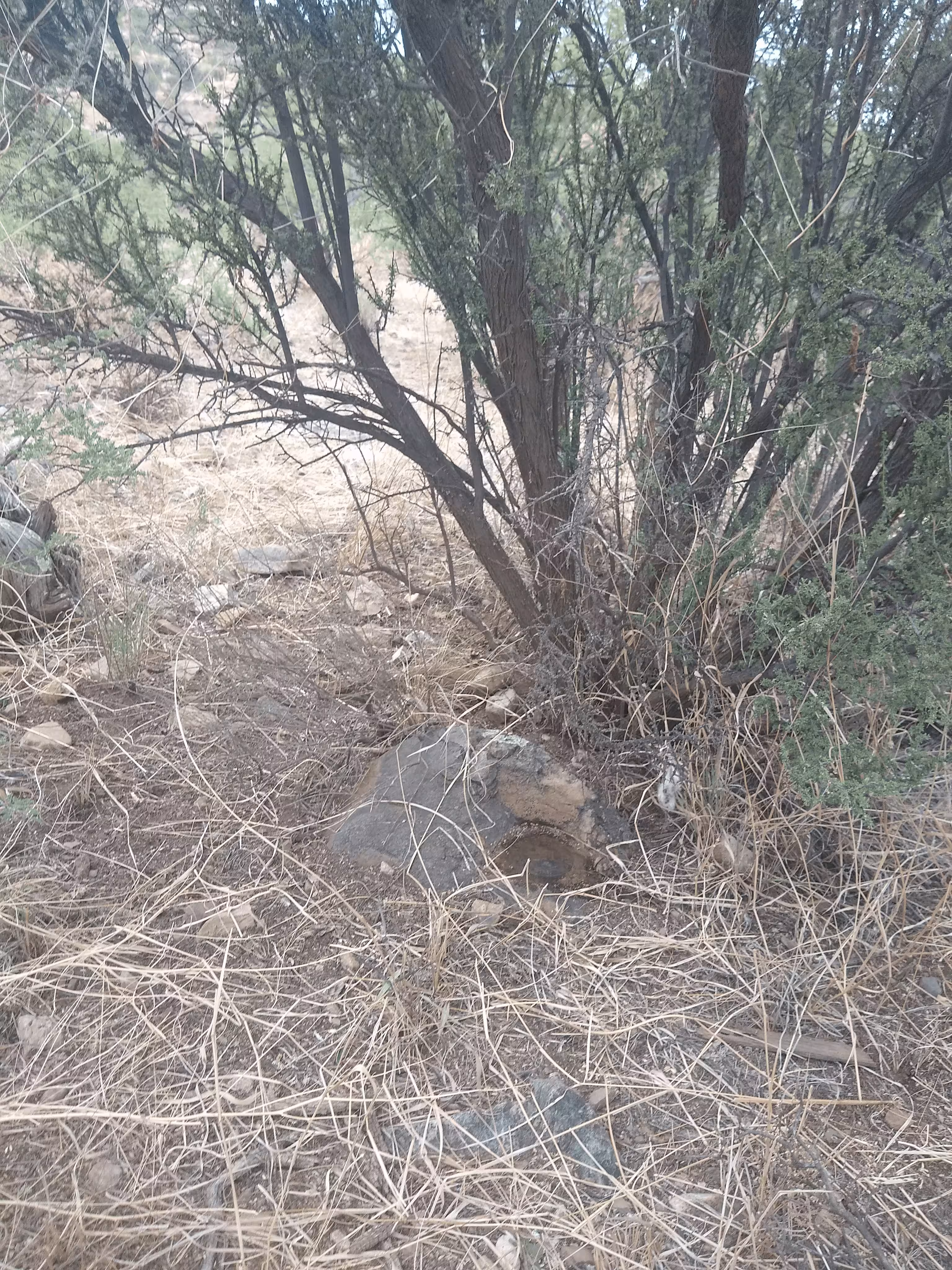
| Setting: | Granite rock outcrop. |
| Monumentor: | USGS |
Datasheet Description:
Rosemont, 1.8 miles northeast of, 500 feet west of road, forks, south point of ridge, 65 feet east of wash, 12 feet north of road, 3 feet south of double mesquite tree, in granite outcrop; bronze tablet stamped "4534 NOGLS"
"NOGLS 4534" is a benchmark monumented by the USGS in 1903 or 1904 located in Pima County, Arizona.
This disc is apart of the NOGLS vertical datum conducted during 1903, 1904, and 1905 across the Tucson area. To learn more about the NOGLS datum see this page.
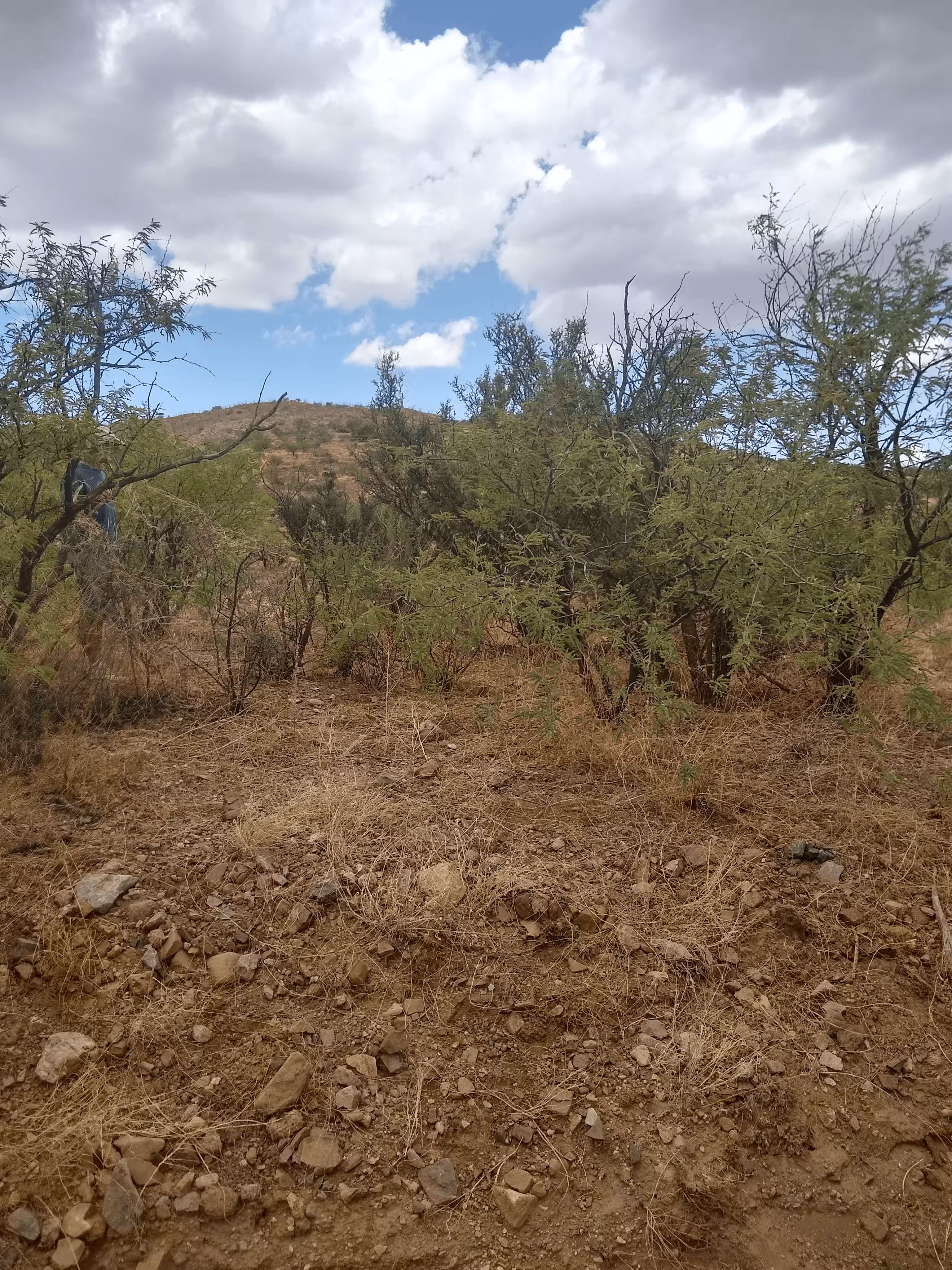
The road to the mark with need a decently high clearnace vehicle. The mark can also be walked to. The benchmark is about 150 feet east of the wash and 25 feet north of road. The double mesqutie tree is now gone.