|
|
Main benchmarks recovered in good or poor condition. |
|
|
Main benchmarks that have been destroyed. |
|
|
Reference benchmarks recovered in good or poor condition. |
|
|
Reference benchmarks that have been destroyed. |
|
|
Azimuth benchmarks recovered in good or poor condition. |
|
|
Azimuth benchmarks that have been destroyed. |
|
|
A main, reference, or azimuth benchmark not searched for. |
"NOGLS 4040"
| Reference Benchmarks: | None |
| Condition: | Small gashes |
| Stamping: | 4040 NOGLS |
| Coordinates: | 32.60234, -110.83134 |
| Elevation: | 4051.932 ft (1235.029 m) |
| Setting: | Granite rock outcrop. |
| Monumentor: | USGS |
Datasheet Description:
Big Walnut, 7.5 miles northeast of, on north spur of ridge, 20 feet north of road forks, 4 feet above ground in conspicuous granite outcrop; aluminum tablet stamped "4040 NOGLS"
"NOGLS 4040" is a benchmark monumented by the USGS in 1904 located in Pinal County, Arizona.
This disc is apart of the NOGLS vertical datum conducted during 1903, 1904, and 1905 across the Tucson area. To learn more about the NOGLS datum see this page.
The benchmark is on State Trust Land so you will need a permit to access it. You can find permits at https://land.az.gov/applications-permits.
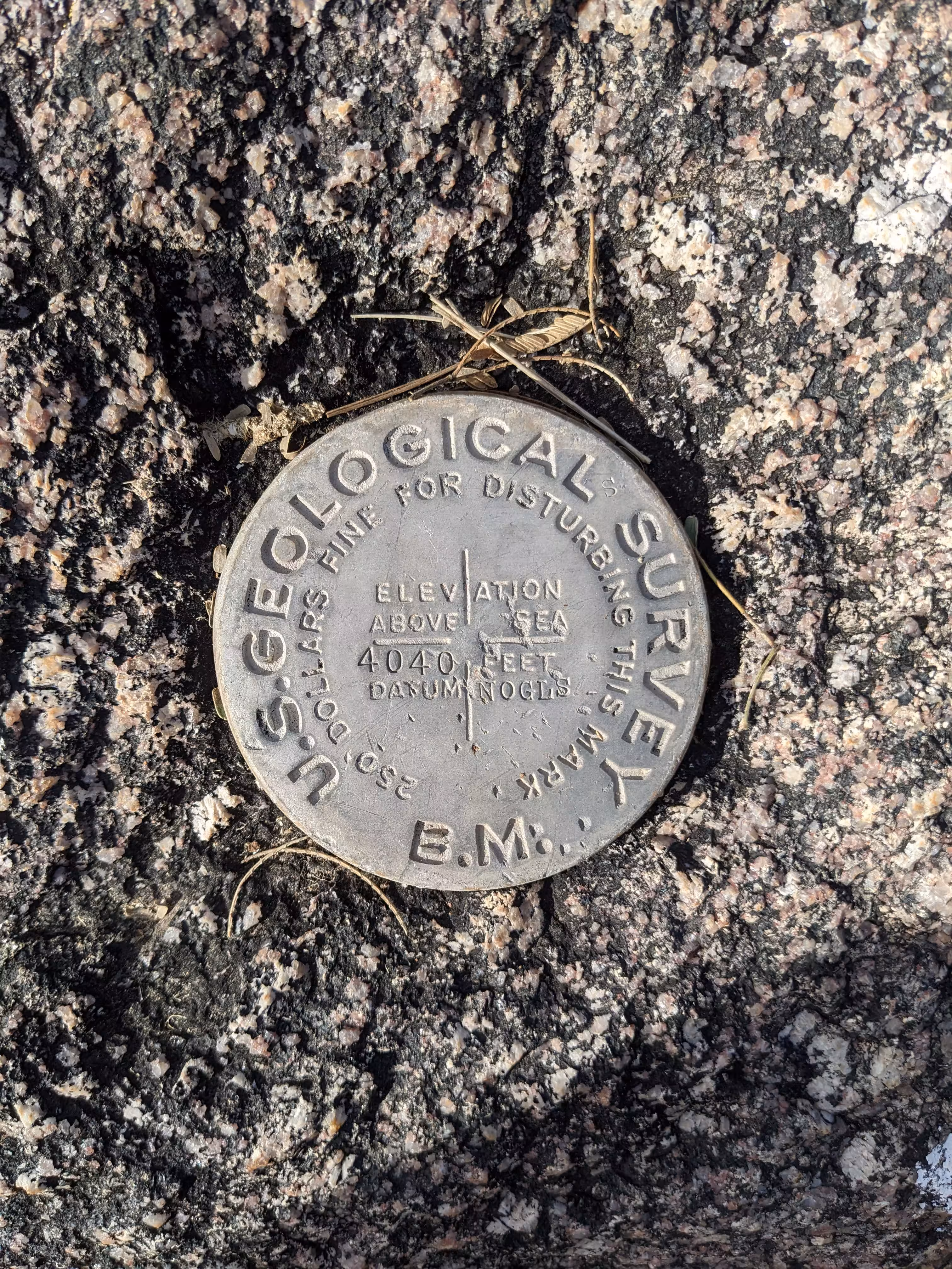
NOGLS 4040 close up.
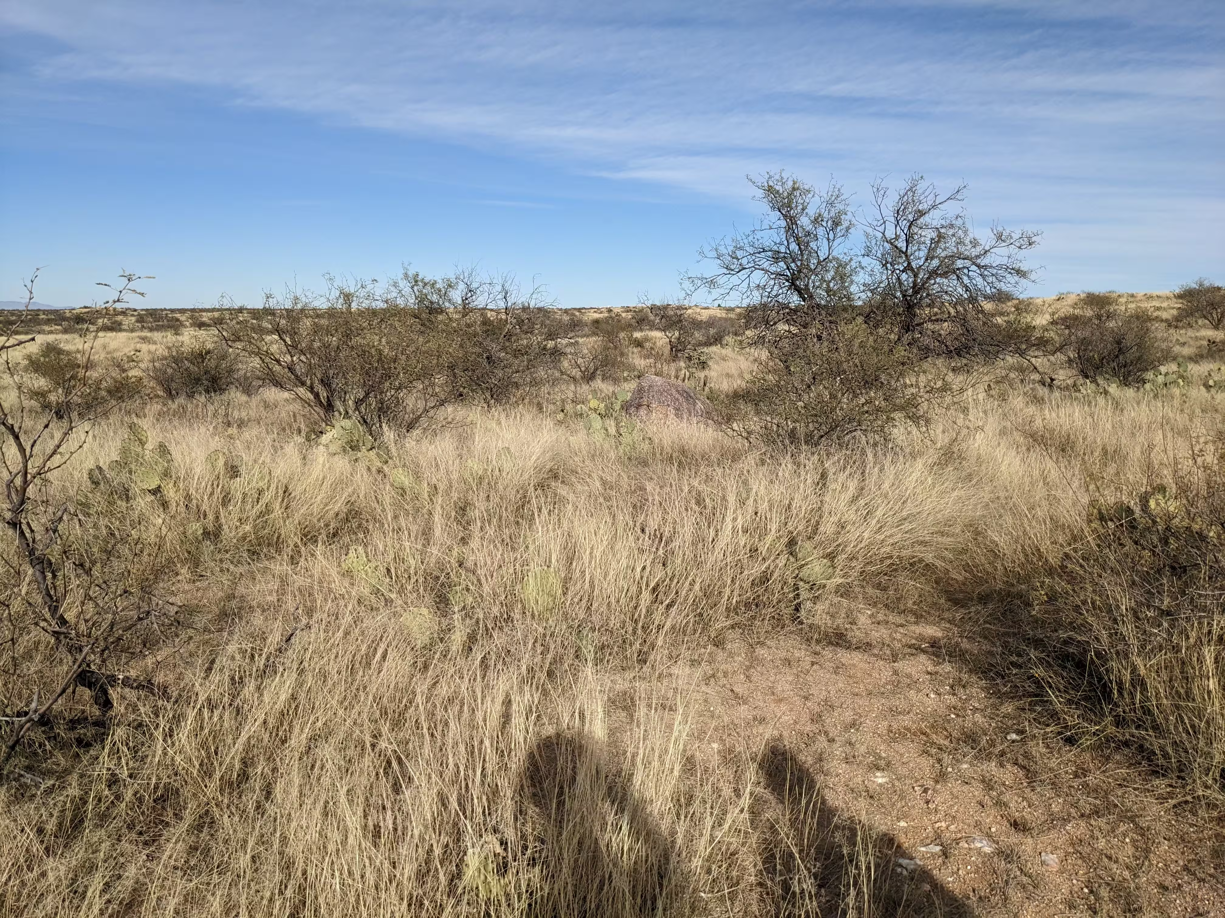
NOGLS 4040 from further back.
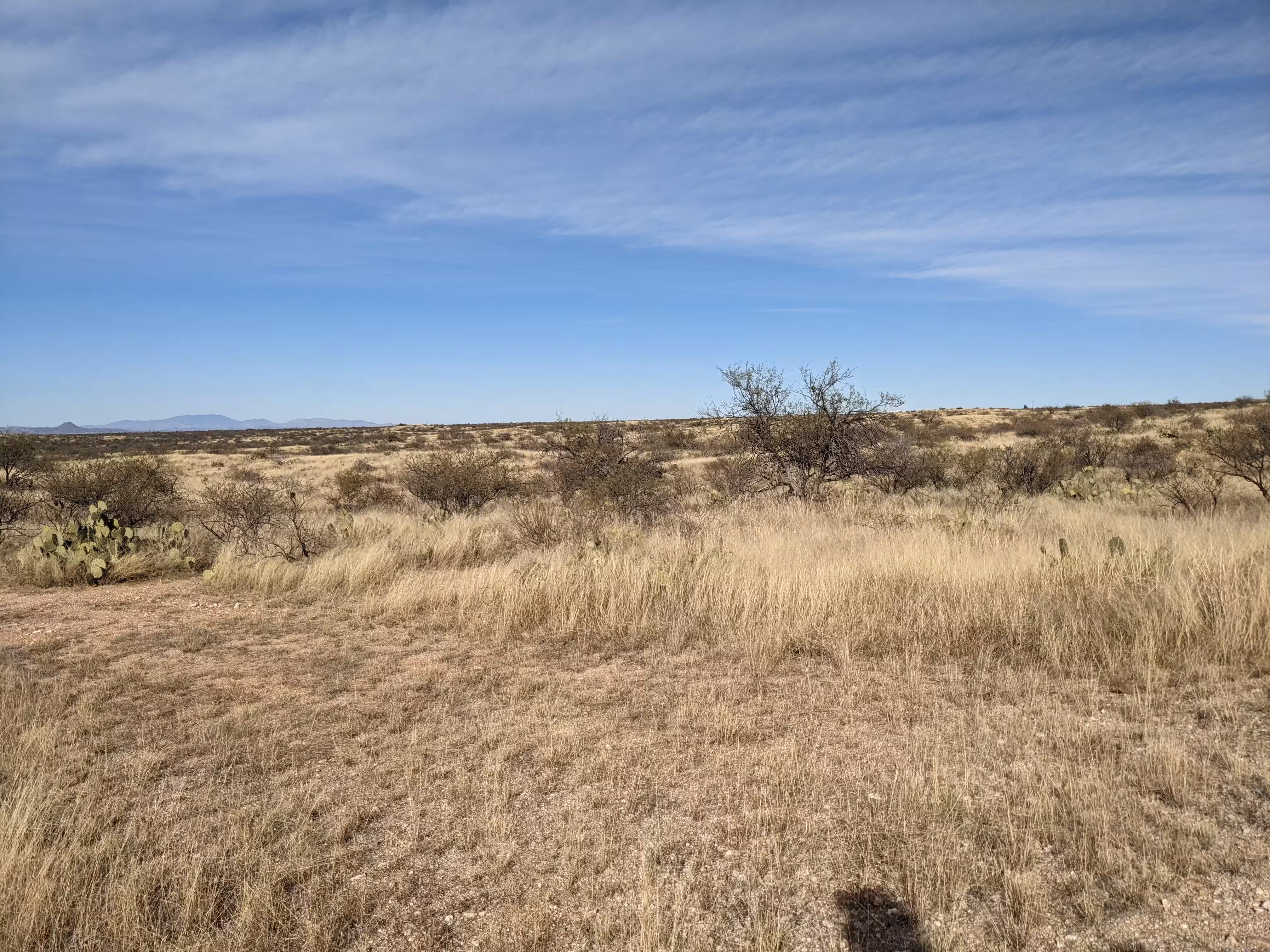
NOGLS 4040 from even further back.