|
|
Main benchmarks recovered in good or poor condition. |
|
|
Main benchmarks that have been destroyed. |
|
|
Reference benchmarks recovered in good or poor condition. |
|
|
Reference benchmarks that have been destroyed. |
|
|
Azimuth benchmarks recovered in good or poor condition. |
|
|
Azimuth benchmarks that have been destroyed. |
|
|
A main, reference, or azimuth benchmark not searched for. |
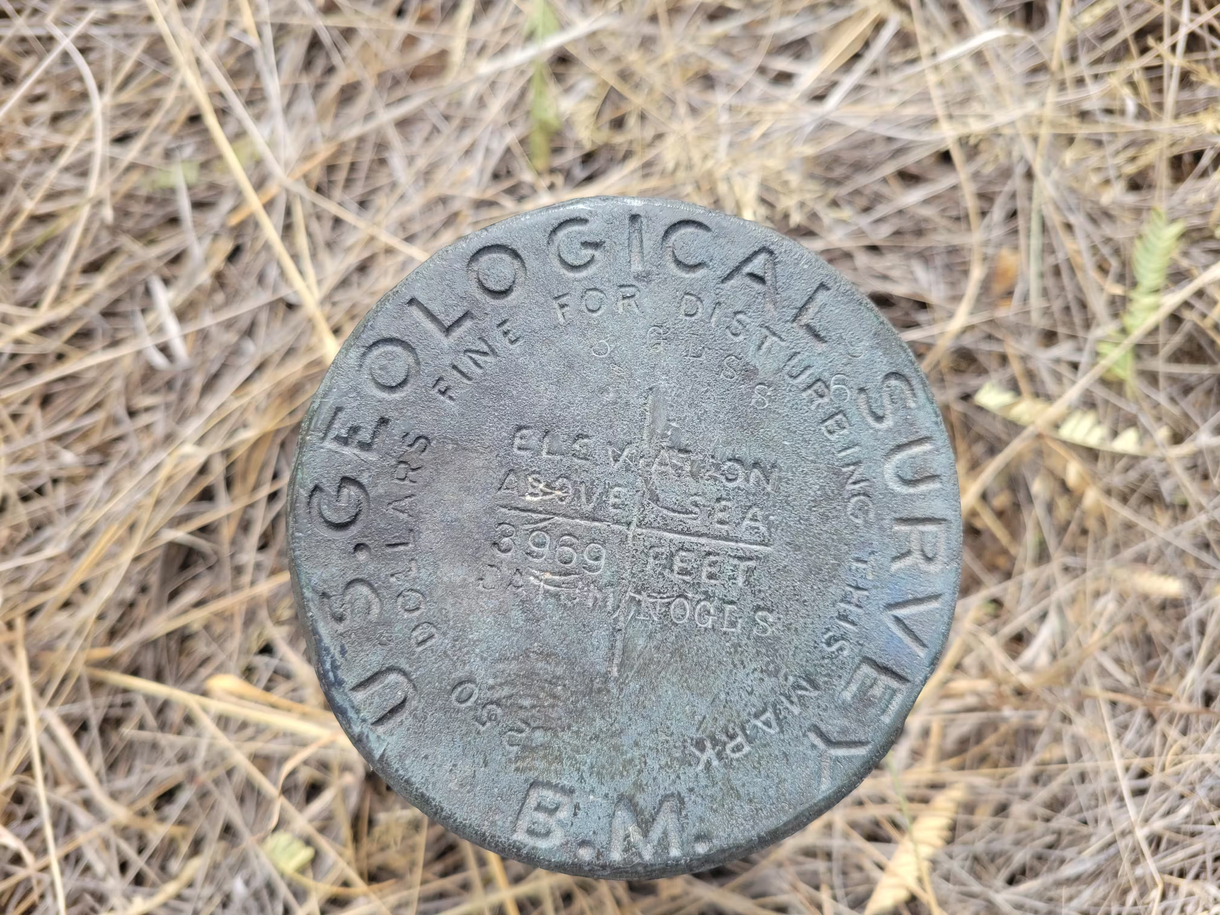
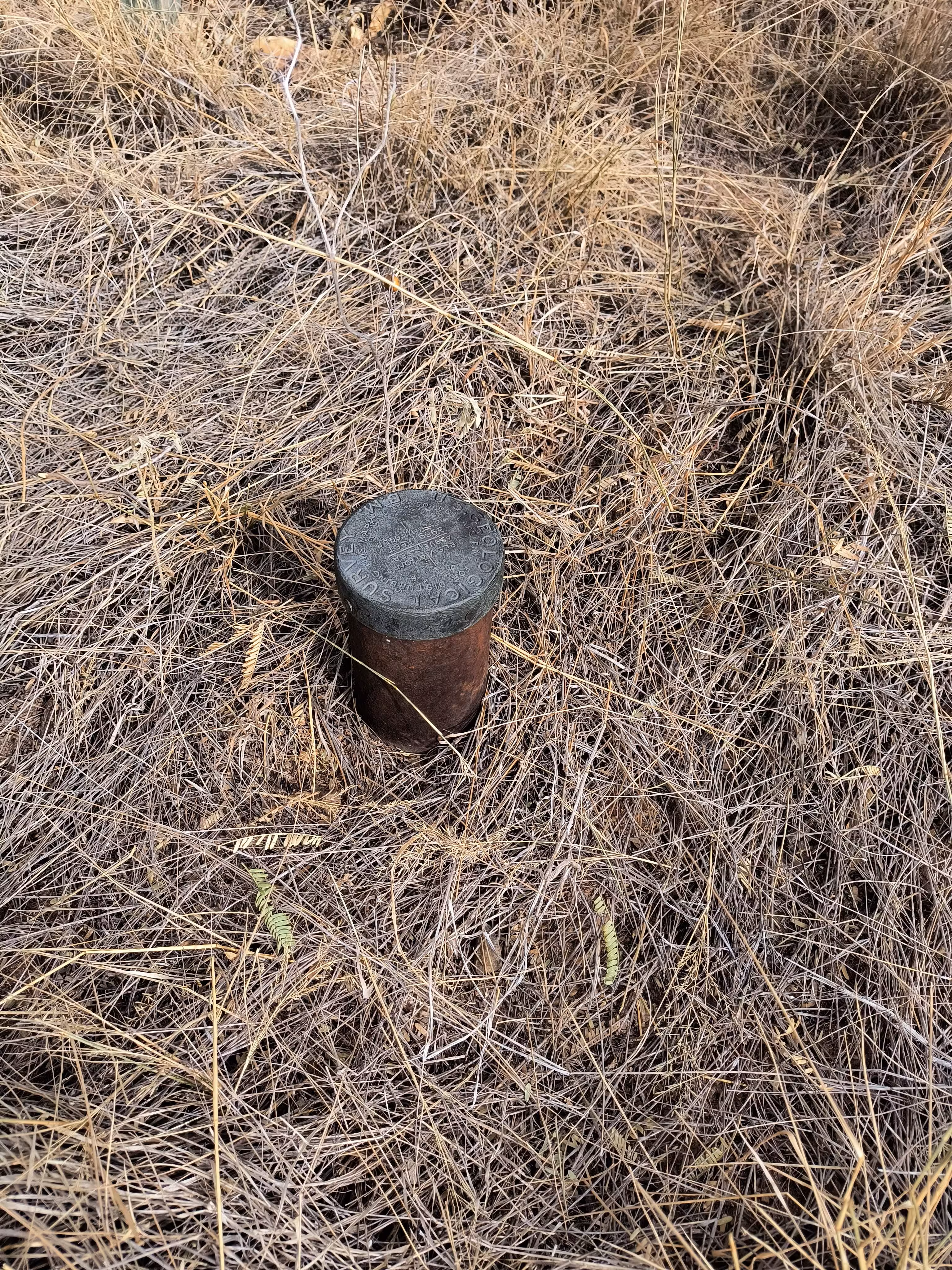
"NOGLS 3969"
| Reference Benchmarks: | None |
| Condition: | Ware, scratching in the center |
| Stamping: | 3969 NOGLS |
| Coordinates: | 31.780730, -110.850787 |
| Elevation: | 3982.310 ft (1213.808 m) |
| Setting: | Pipe cap. |
| Monumentor: | USGS |
Datasheet Description:
Proctor old ranch, 2.8 miles south of, 90 feet south of Sawmill Canyon, 145 feet west of fence corner at angle to northwest, 2 feet north of fence; iron post stamped "3969 NOGLS"
"NOGLS 3969" is a benchmark monumented by the USGS in 1903 or 1904 located in Pima County, Arizona.
This disc is apart of the NOGLS vertical datum conducted during 1903, 1904, and 1905 across the Tucson area. To learn more about the NOGLS datum see this page.
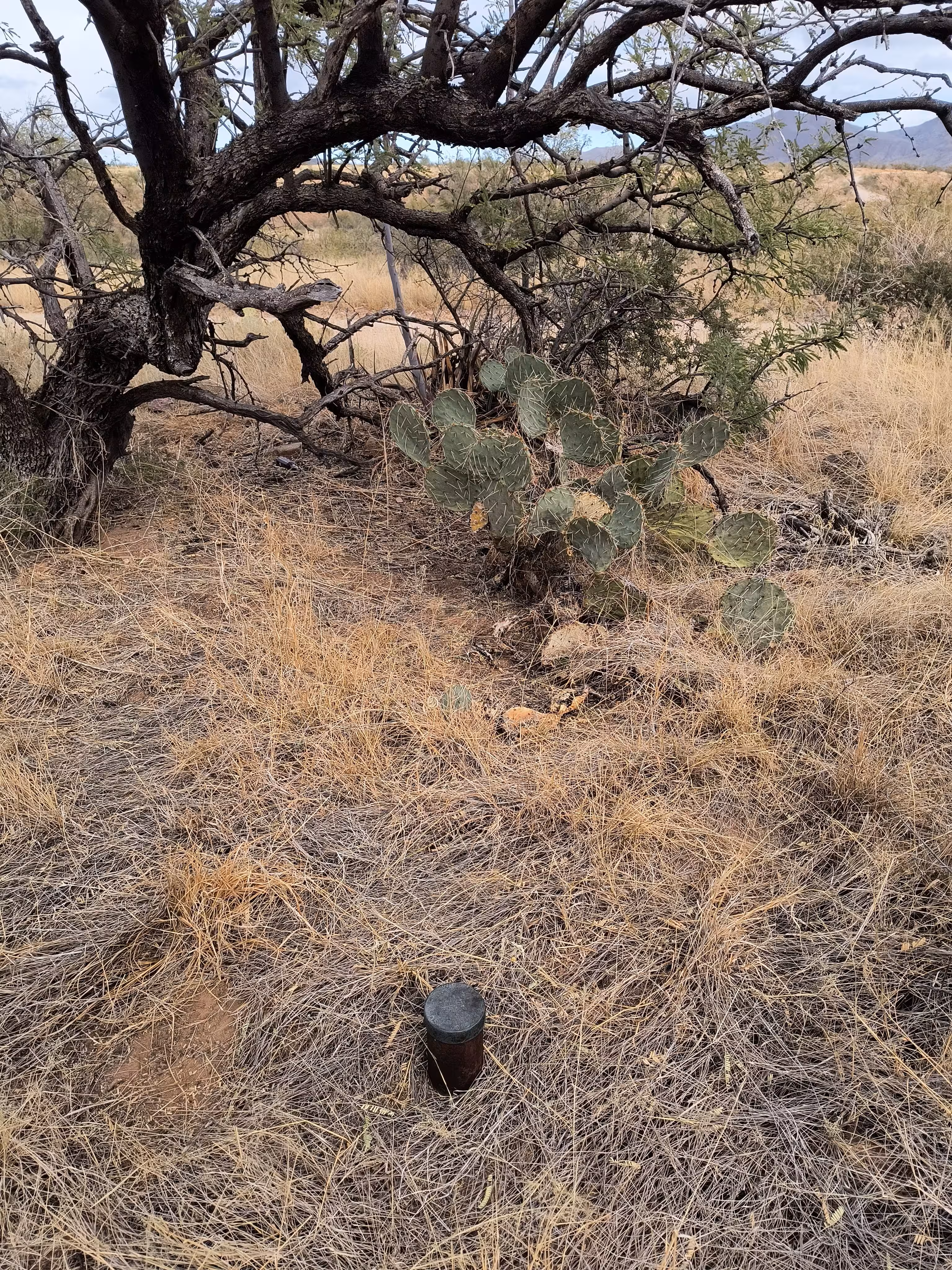
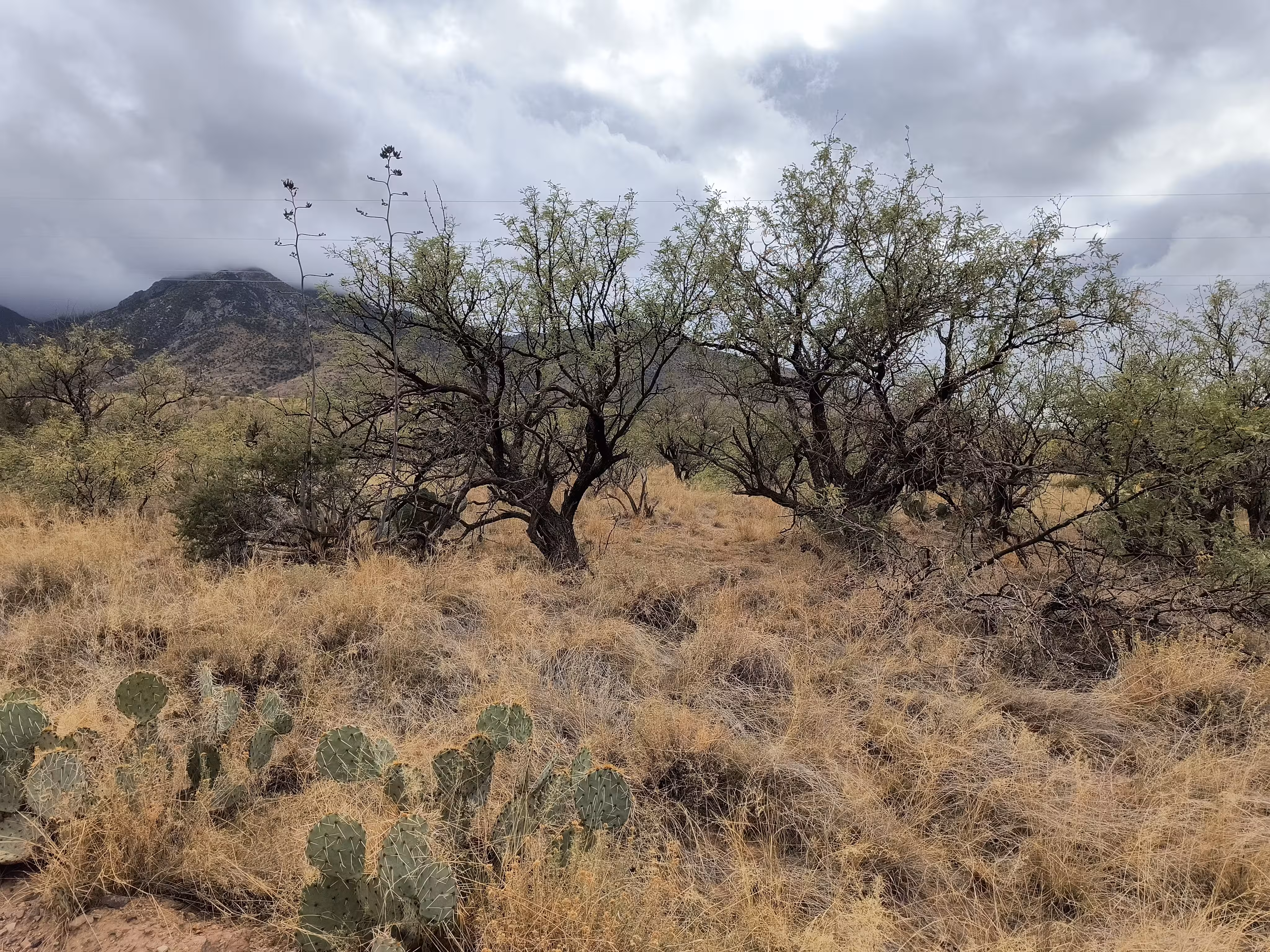
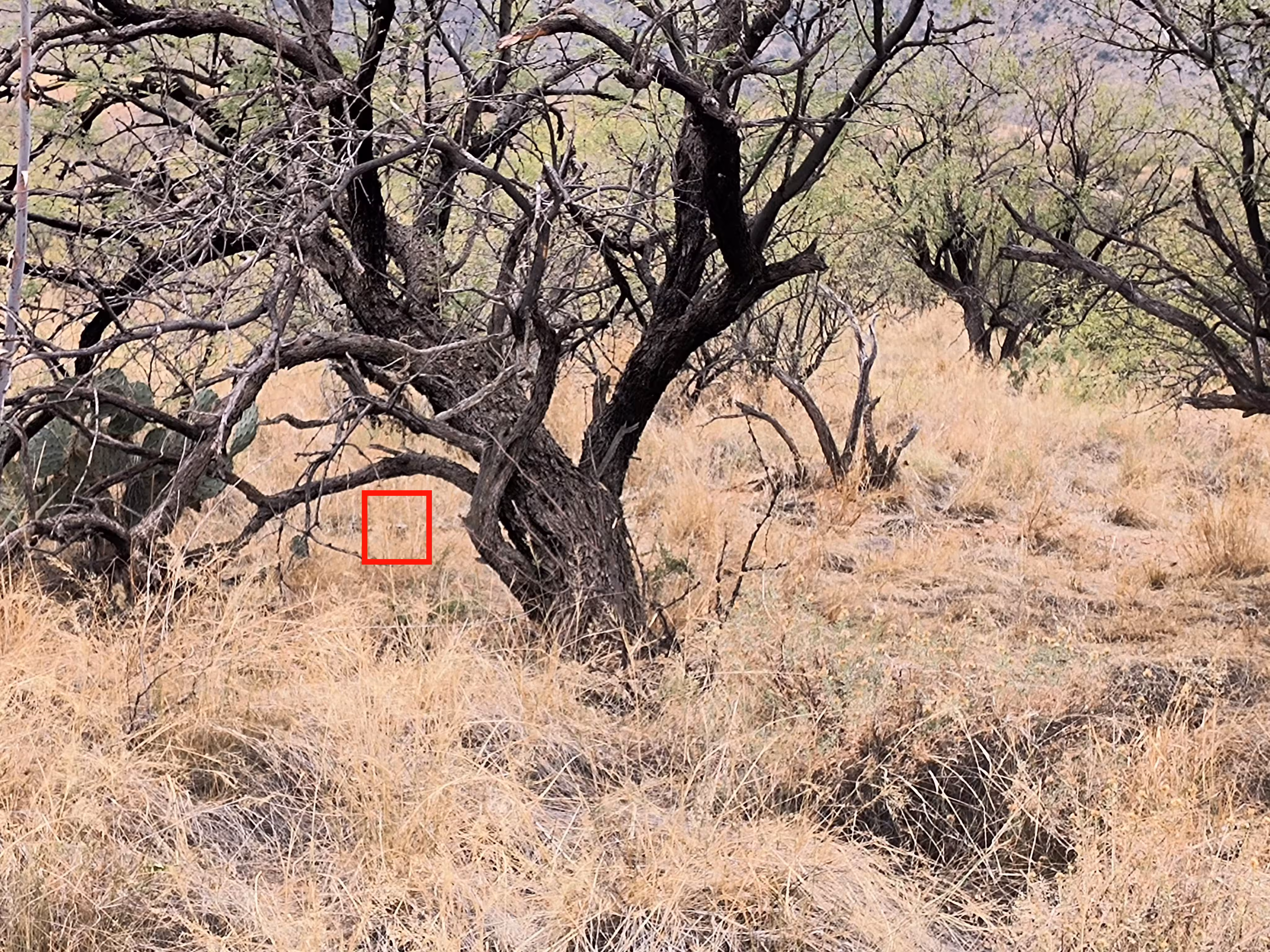
The benchmark is in the Santa Rita Experimental Range on FR 481. It is about 120 feet (37 m) south of the "rim" of the canyon. 400 feet (120 m) south of the wash. About 20 feet (6 m) southwest of FR 481.