|
|
Main benchmarks recovered in good or poor condition. |
|
|
Main benchmarks that have been destroyed. |
|
|
Reference benchmarks recovered in good or poor condition. |
|
|
Reference benchmarks that have been destroyed. |
|
|
Azimuth benchmarks recovered in good or poor condition. |
|
|
Azimuth benchmarks that have been destroyed. |
|
|
A main, reference, or azimuth benchmark not searched for. |
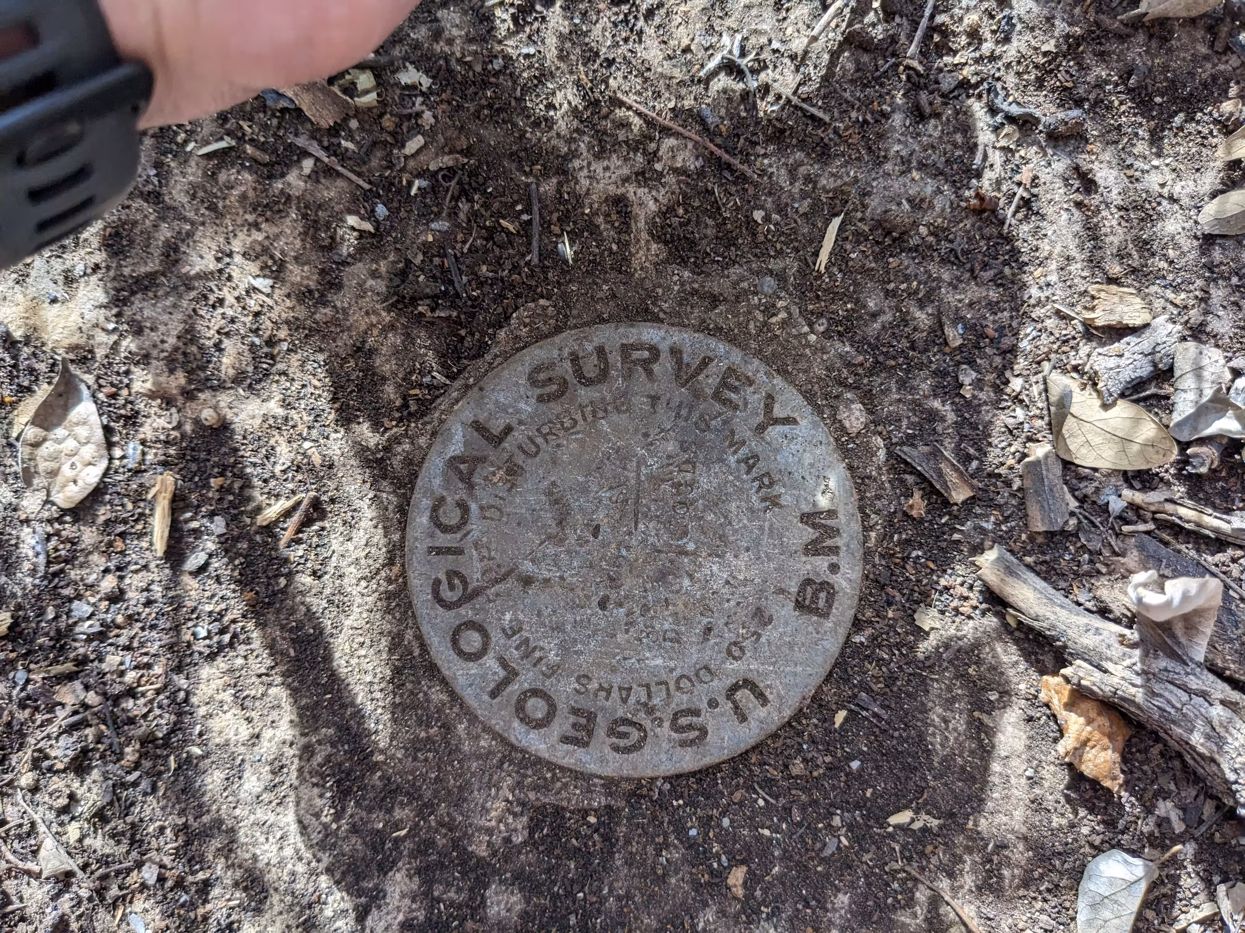
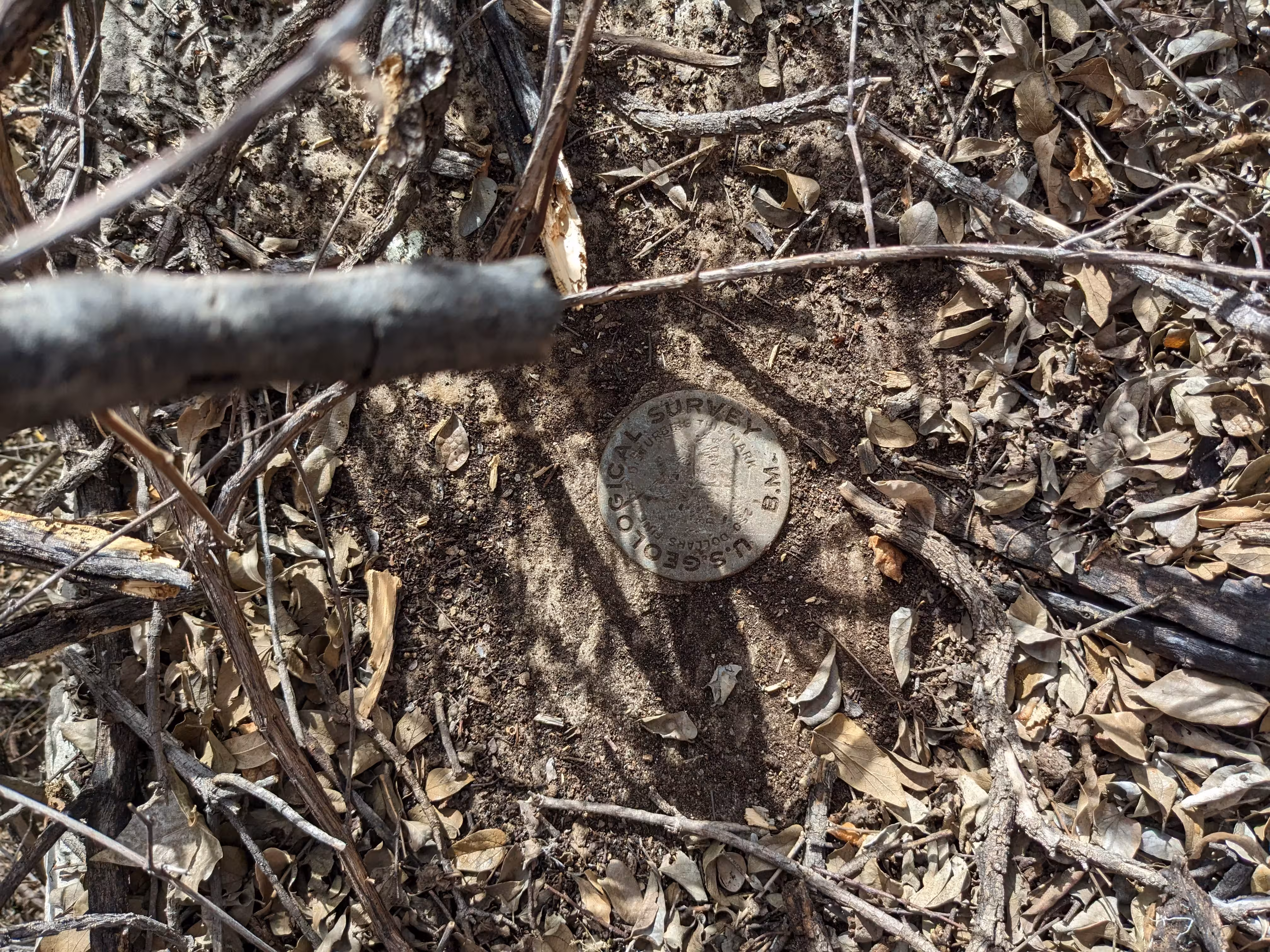
"NOGLS 3891"
| Reference Benchmarks: | None |
| Condition: | Very strong ware and scratching |
| Stamping: | 3891 NOGLS |
| Coordinates: | 31.511839, -110.798736 |
| Elevation: | 3903.076 ft (275.258 m) |
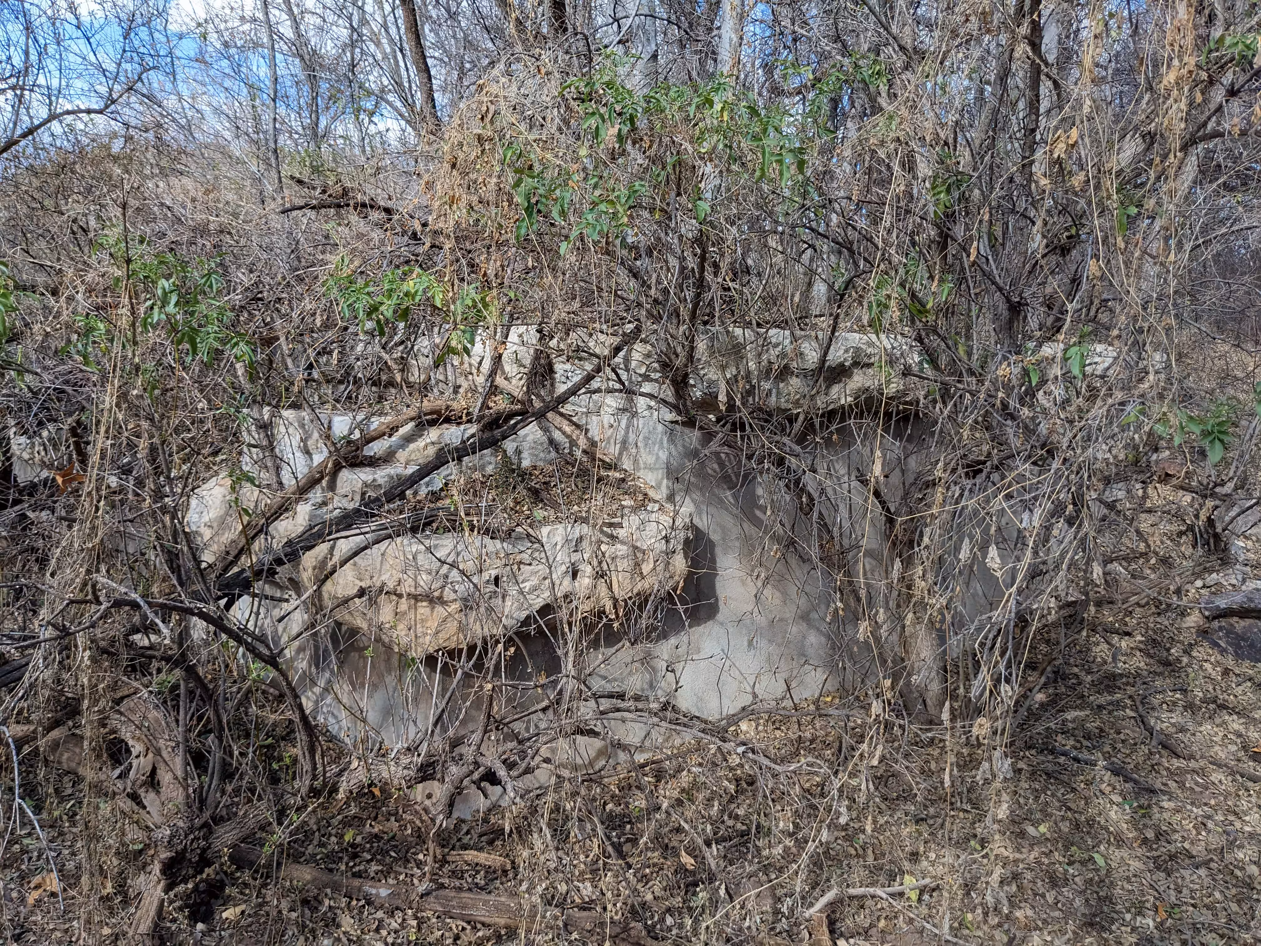
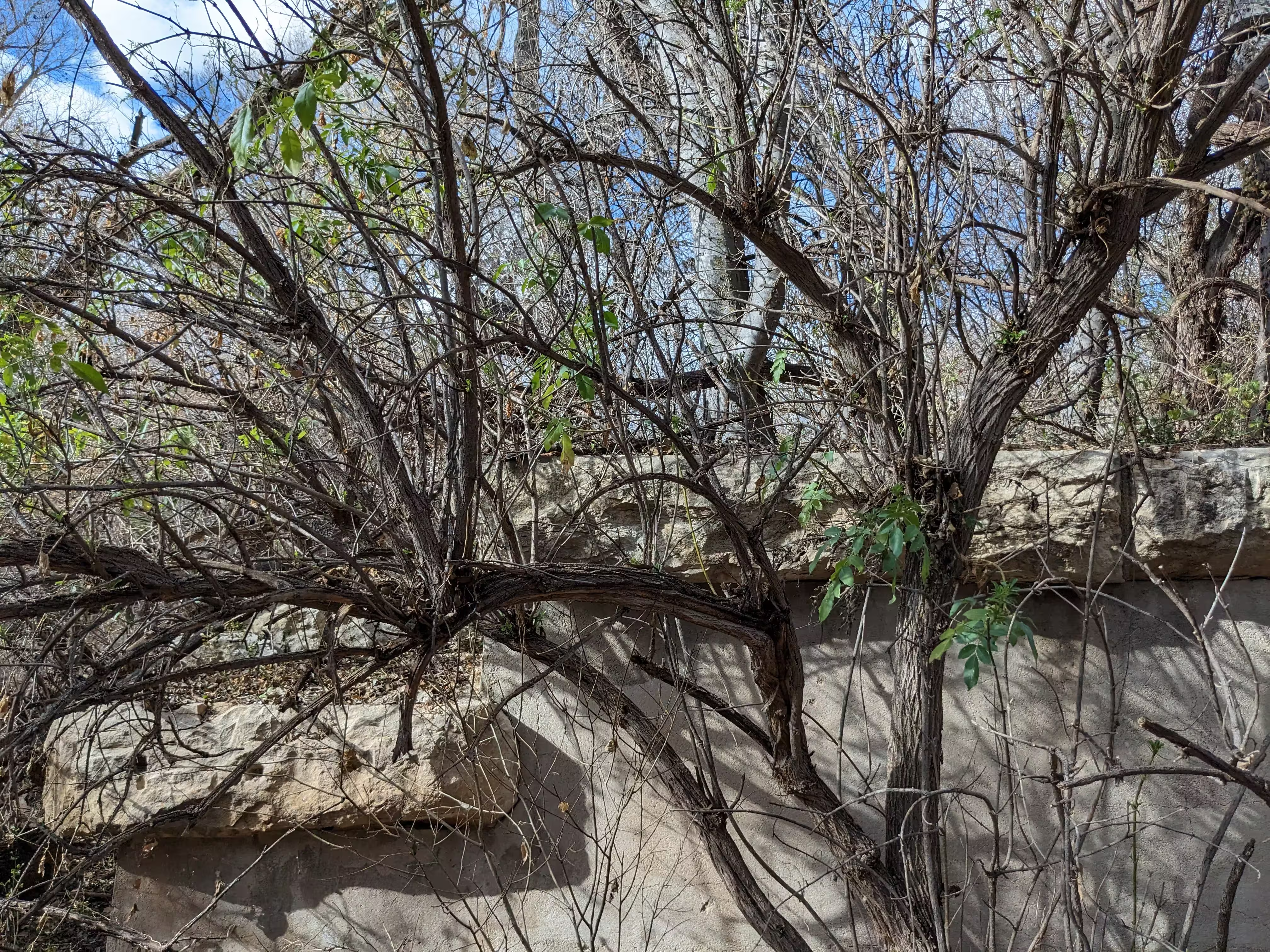
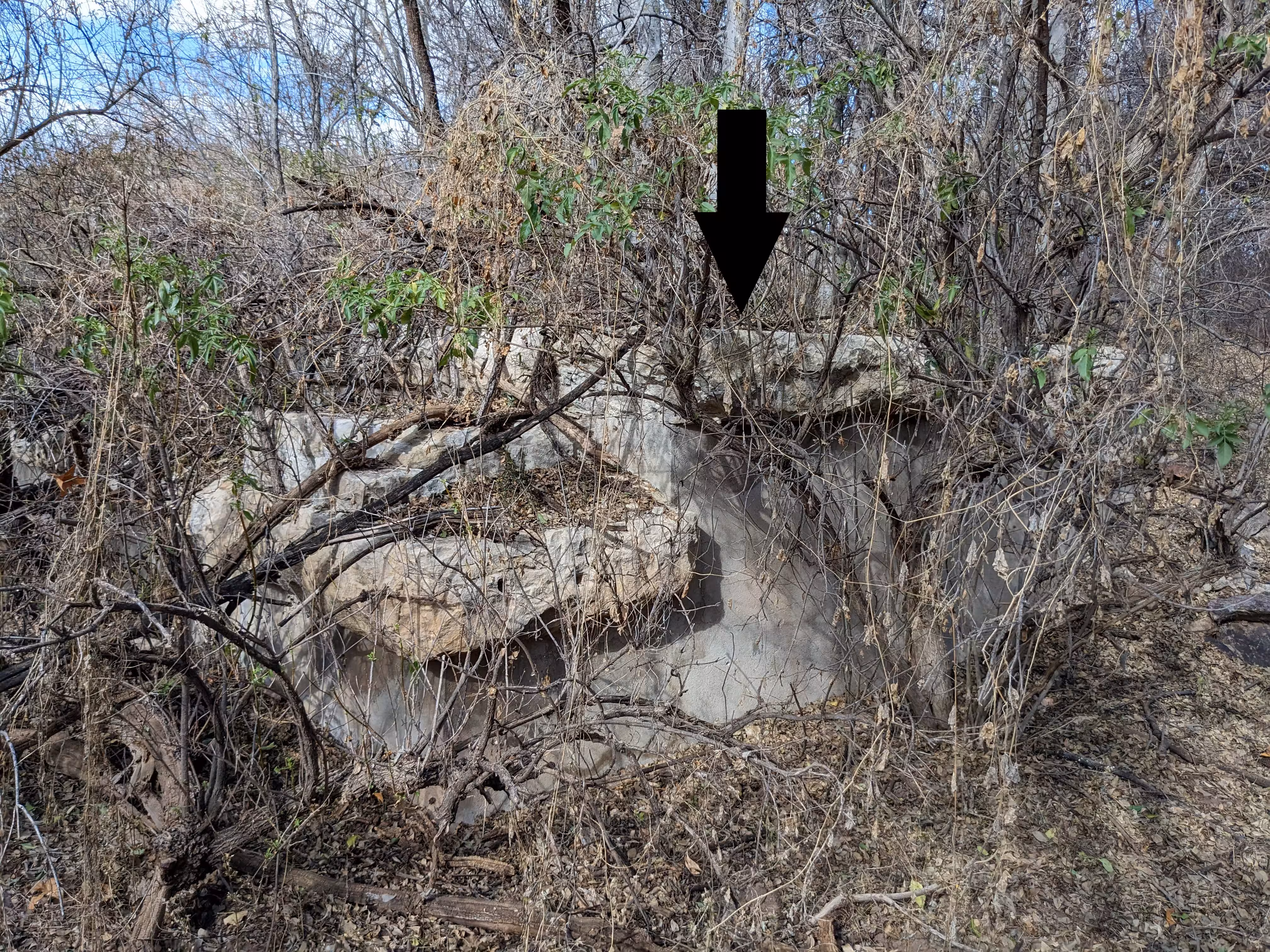
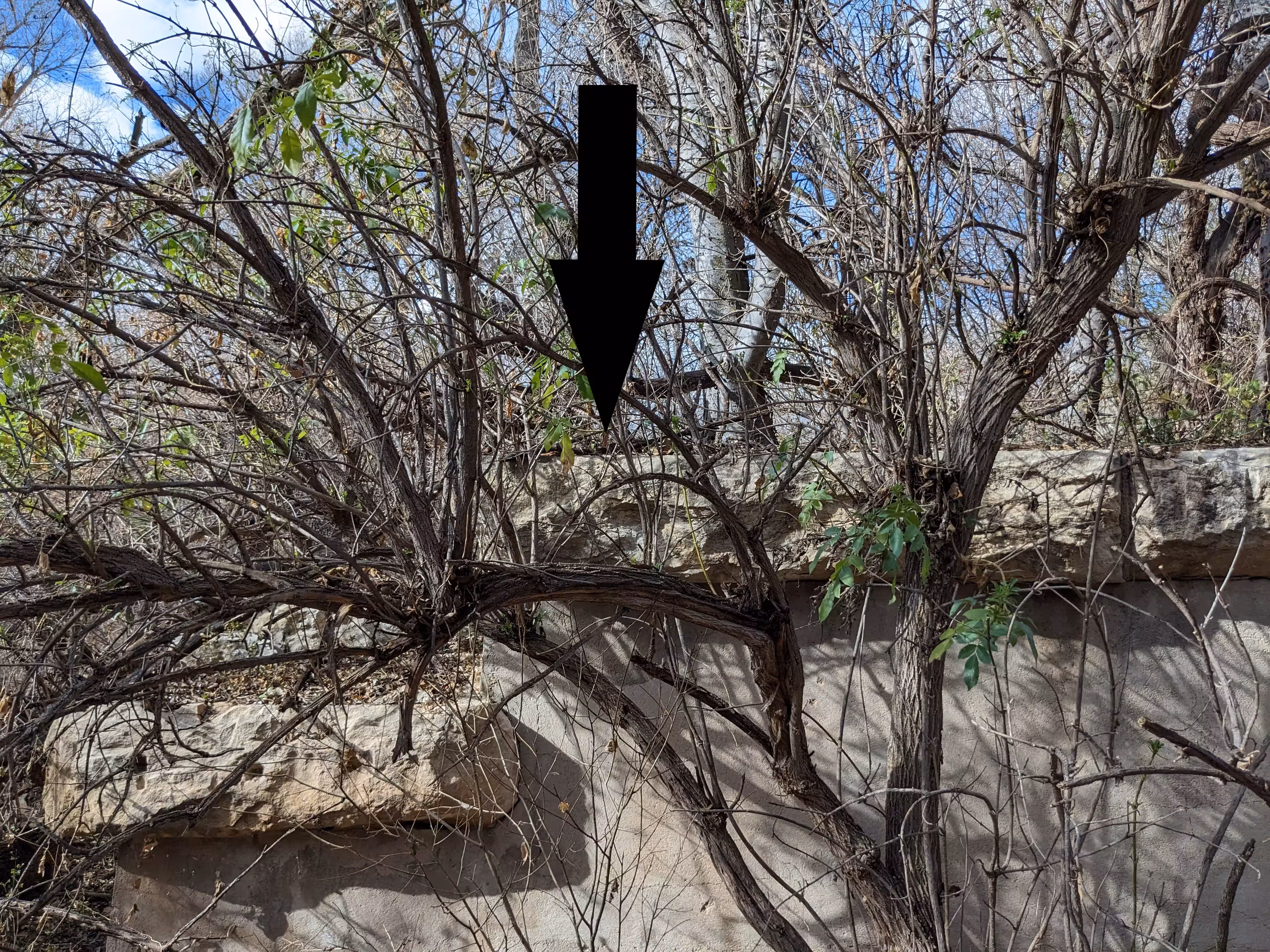
| Setting: | Old bridge abutment. |
| Monumentor: | USGS |
Datasheet Description:
Milepost 1097, 200 feet east of, east end of steel bridge over Sonoita River, 5 feet south of track, in stone wall; aluminum tablet stamped "3891 NOGLS"
"NOGLS 3891" is a benchmark monumented by the USGS in 1903 or 1904 located in Santa Cruz County, Arizona.
This disc is apart of the NOGLS vertical datum conducted during 1903, 1904, and 1905 across the Tucson area. To learn more about the NOGLS datum see this page.
To reach the benchmark, park at the pullout off of State Highway 82. Cross the highway, go over the gaurd rail, and traverse around a fence to eventually reach the old abutment. The benchmark is in the southwest corner of the abutment. The abutment can only be reached from the northeast as all of the other sides are either too steep or just a straight drop.