|
|
Main benchmarks recovered in good or poor condition. |
|
|
Main benchmarks that have been destroyed. |
|
|
Reference benchmarks recovered in good or poor condition. |
|
|
Reference benchmarks that have been destroyed. |
|
|
Azimuth benchmarks recovered in good or poor condition. |
|
|
Azimuth benchmarks that have been destroyed. |
|
|
A main, reference, or azimuth benchmark not searched for. |
"NOGLS 3721"
| Reference Benchmarks: | None |
| Condition: | Very strong ware, strong scratching |
| Stamping: | 3721 NOGLS |
| Coordinates: | 31.790061, -110.876184 |
| Elevation: | 3733.518 ft (1137.976 m) |
| Setting: | Pipe cap. |
| Monumentor: | USGS |
Datasheet Description:
United States botanical reserve, 3 feet east of south gate; iron post stamped "3721 NOGLS"
"NOGLS 3721" is a benchmark monumented by the USGS in 1903 or 1904 located in Pima County, Arizona.
This disc is apart of the NOGLS vertical datum conducted during 1903, 1904, and 1905 across the Tucson area. To learn more about the NOGLS datum see this page.
The benchmark is in the Santa Rita Experimental Range on Box Canyon Road (FR 62). It is north of a fence and south of Box Canyon Road.
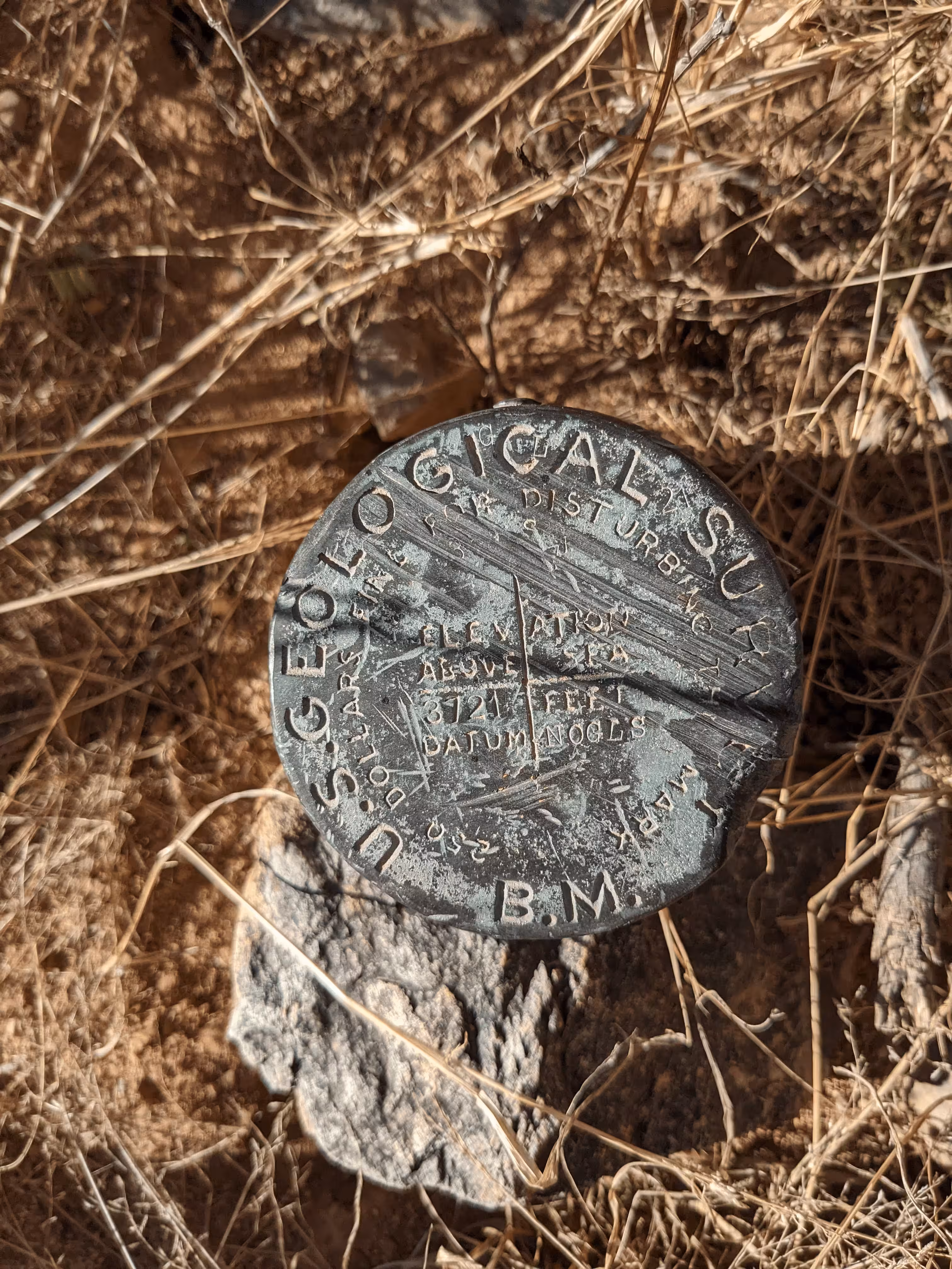
NOGLS 3721 close up.
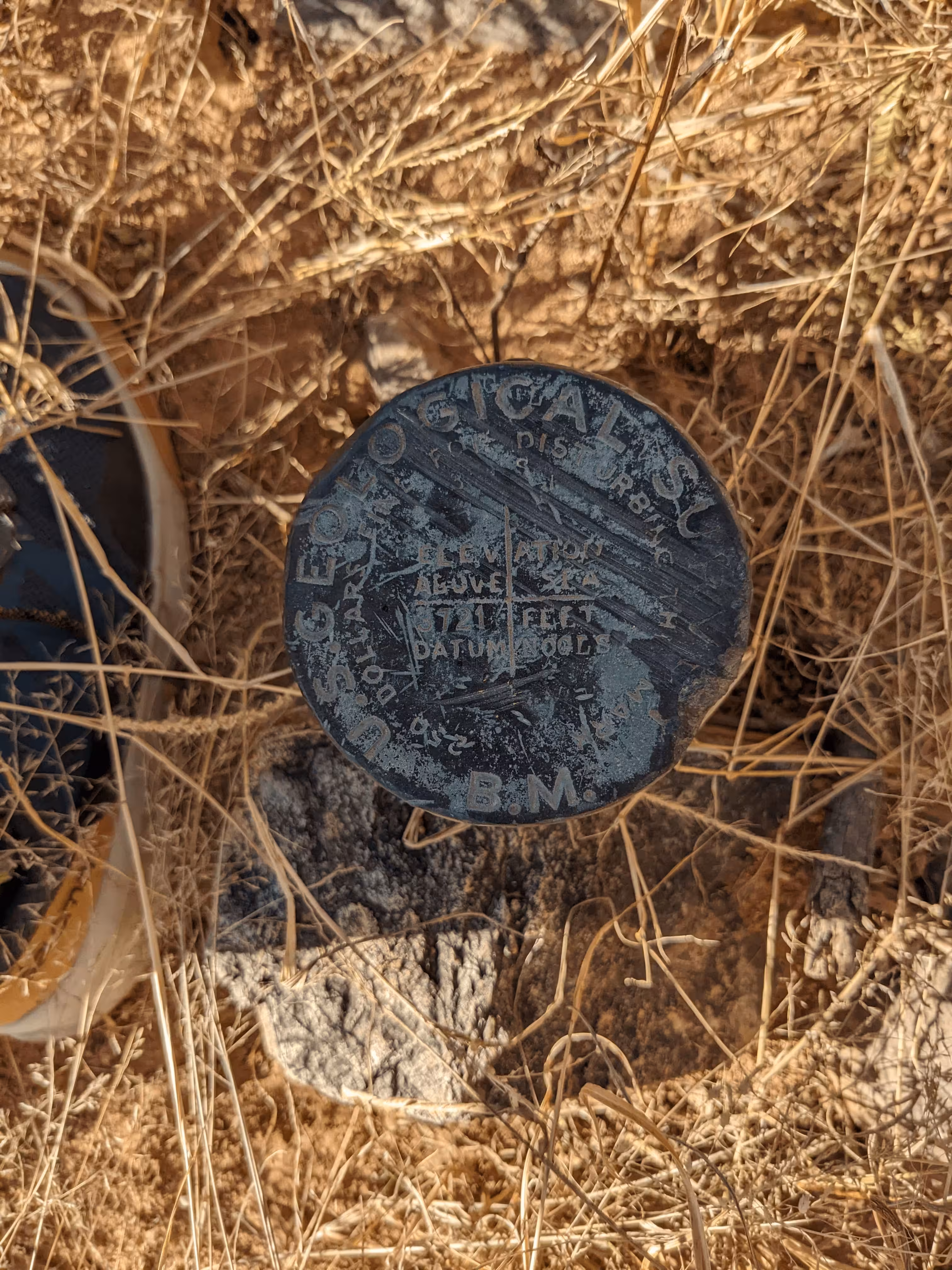
NOGLS 3721 close up in a shadow.
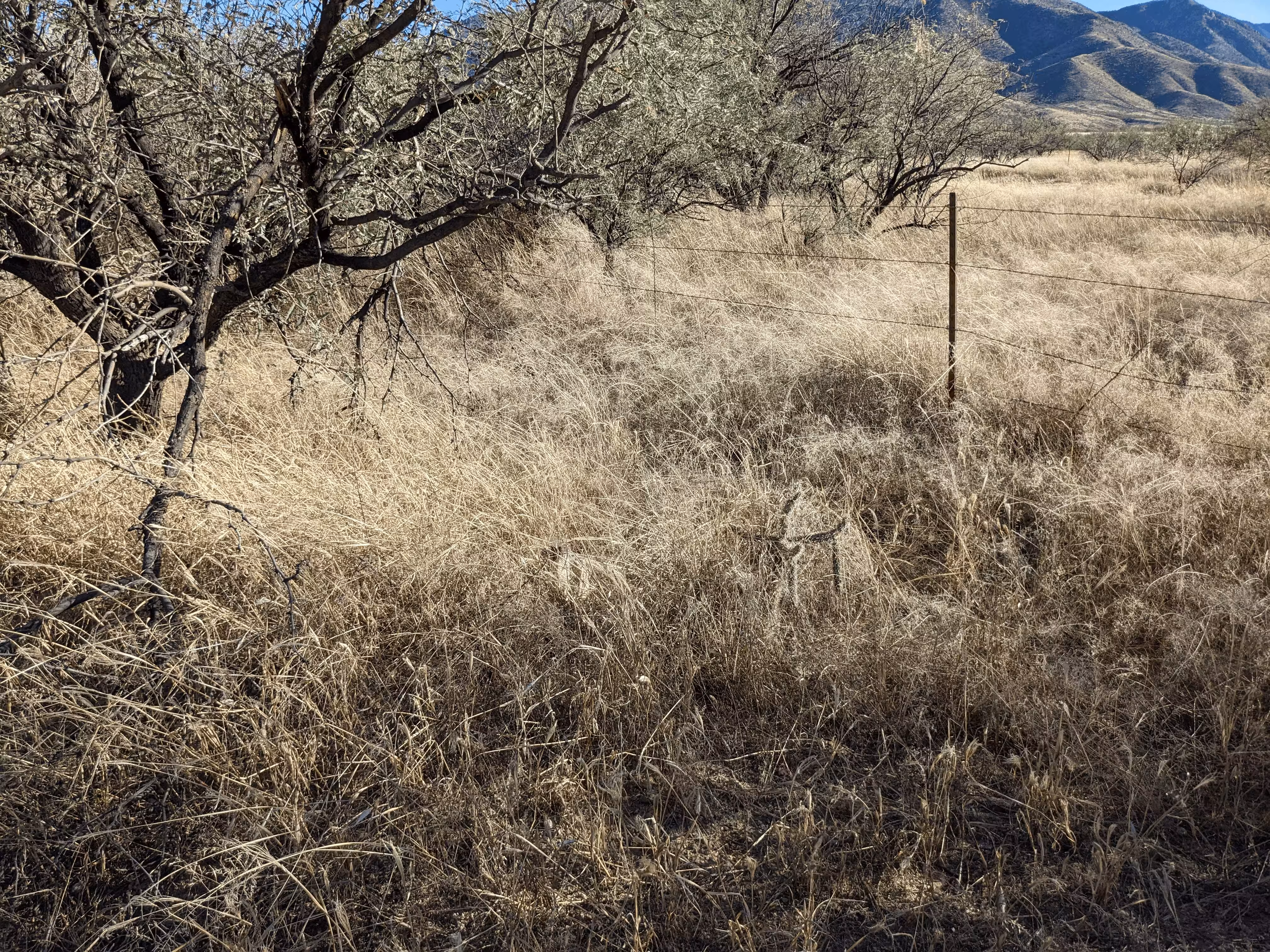
NOGLS 3721 from further back.
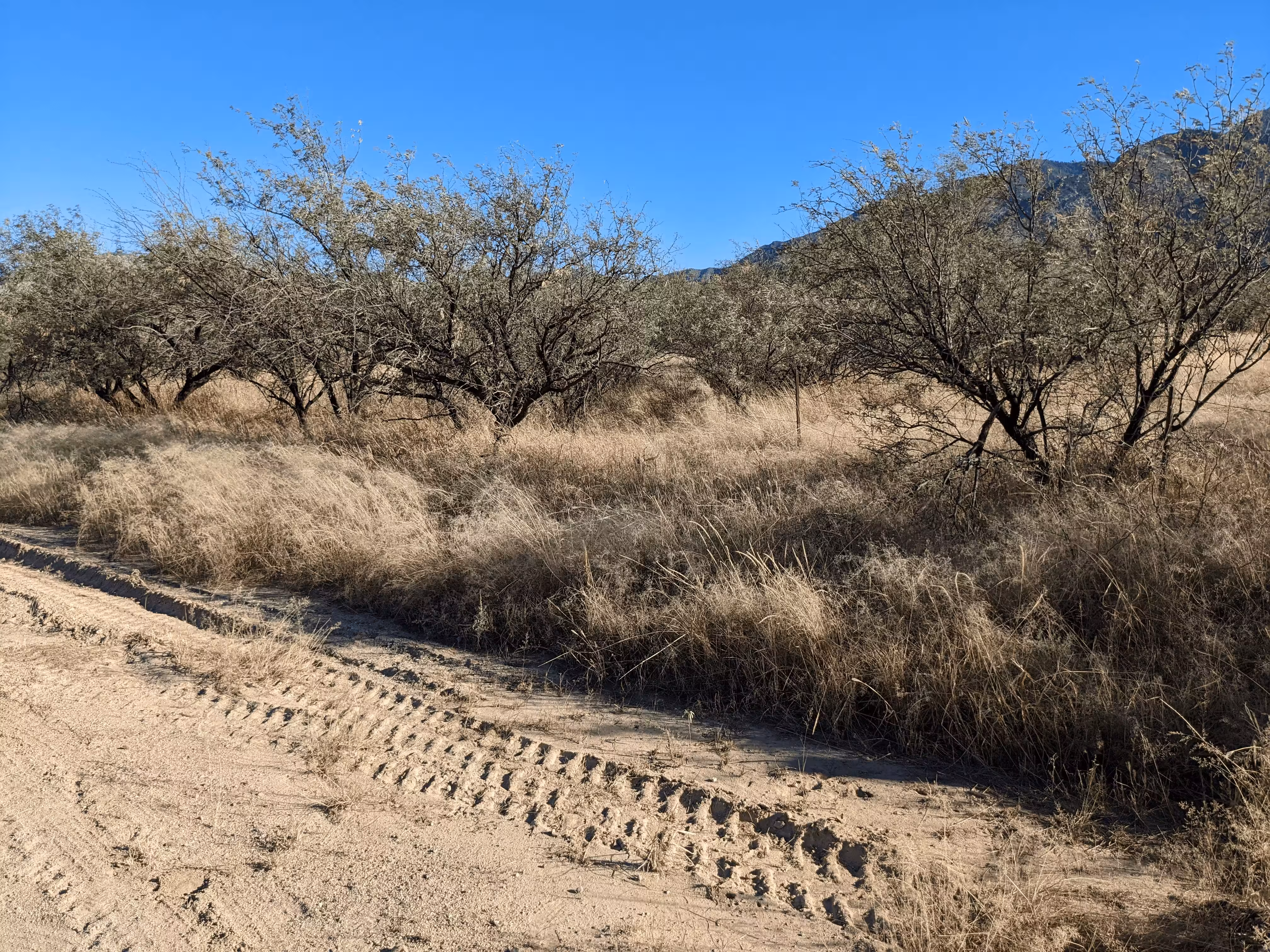
NOGLS 3721 from even further back.