|
|
Main benchmarks recovered in good or poor condition. |
|
|
Main benchmarks that have been destroyed. |
|
|
Reference benchmarks recovered in good or poor condition. |
|
|
Reference benchmarks that have been destroyed. |
|
|
Azimuth benchmarks recovered in good or poor condition. |
|
|
Azimuth benchmarks that have been destroyed. |
|
|
A main, reference, or azimuth benchmark not searched for. |
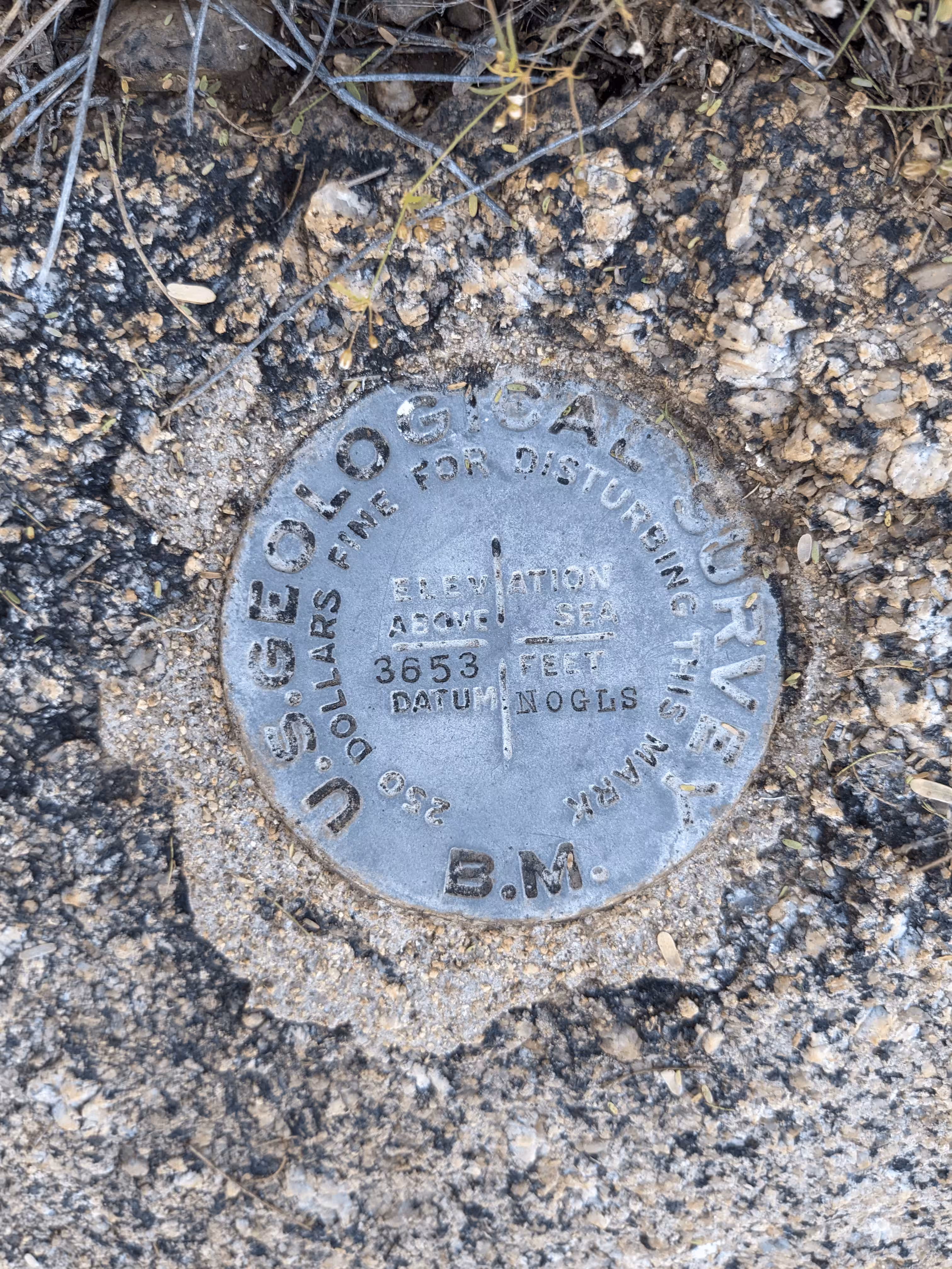
"NOGLS 3653"
| Reference Benchmarks: | None |
| Condition: | Minor ware, paint greatly weathered |
| Stamping: | 3653 NOGLS |
| Coordinates (approximate): | 32.6685, -110.7169 |
| Elevation: | 3665.303 ft (1117.184 m) |
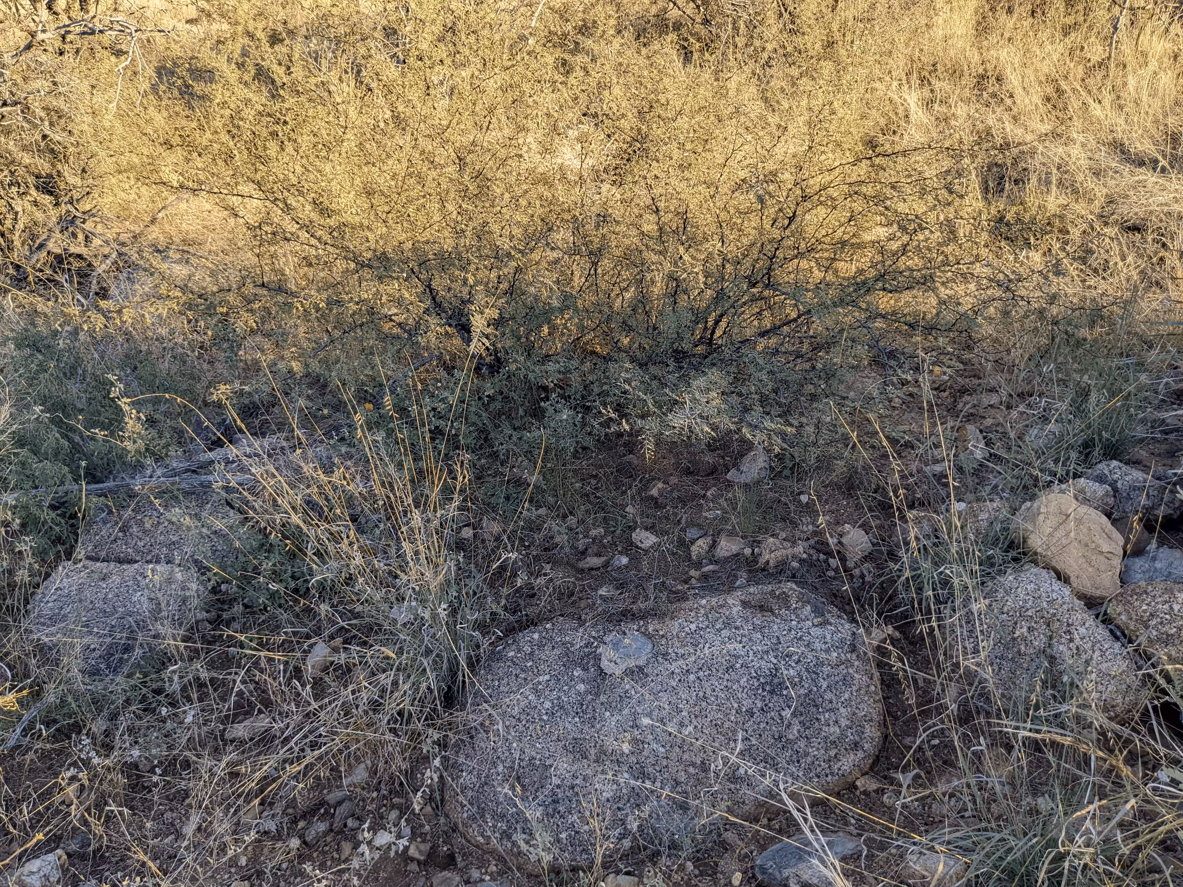
| Setting: | Granite outcrop. |
| Monumentor: | USGS |
Datasheet Description:
Oracle, 5.8 miles northeast of, east side main canyon, 15 feet east of road, in mouth and in south side of small wash, in granite outcrop; aluminum tablet stamped "3653 NOGLS"
"NOGLS 3653" is a benchmark monumented by the USGS in 1904 located in Pinal County, Arizona.
This disc is apart of the NOGLS vertical datum conducted during 1903, 1904, and 1905 across the Tucson area. To learn more about the NOGLS datum see this page.
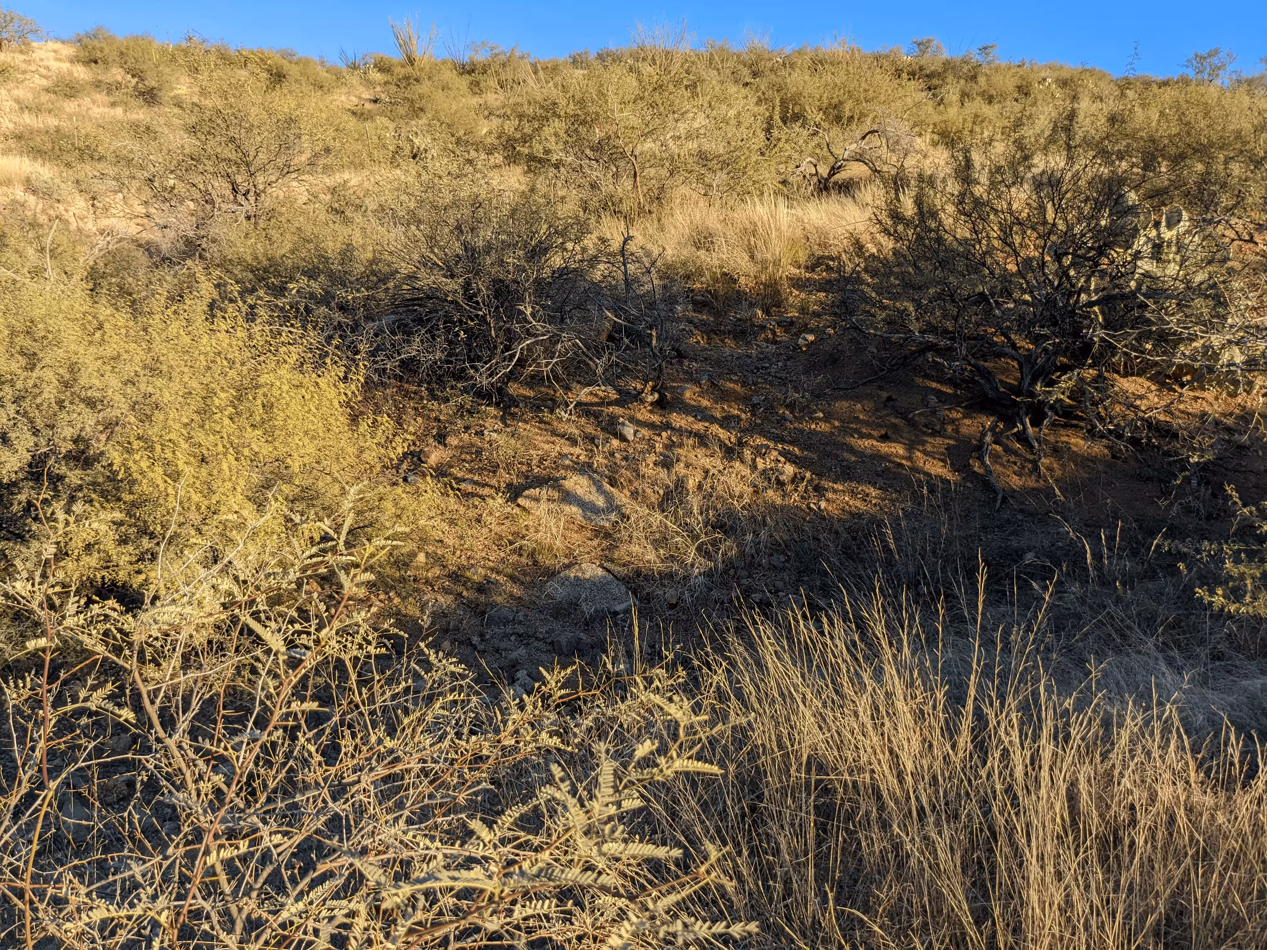
The benchmark is along the old AZ 77 which should be passable by vehicles with 5+ inches of clearance. Following the road to the benchmark is the fastest way there. From the closest point on the road to the benchmark, find an appropriate place to head towards the benchmark. Look for the granite boulder around the coordinates.
The road mentioned in the original description has obviously been grown over as it is no longer present. A general clearing where the road originally was is still partially visible on aerial imagery. Disregard the mentioning of a wash as it is not helpful to finding the benchmark.