|
|
Main benchmarks recovered in good or poor condition. |
|
|
Main benchmarks that have been destroyed. |
|
|
Reference benchmarks recovered in good or poor condition. |
|
|
Reference benchmarks that have been destroyed. |
|
|
Azimuth benchmarks recovered in good or poor condition. |
|
|
Azimuth benchmarks that have been destroyed. |
|
|
A main, reference, or azimuth benchmark not searched for. |
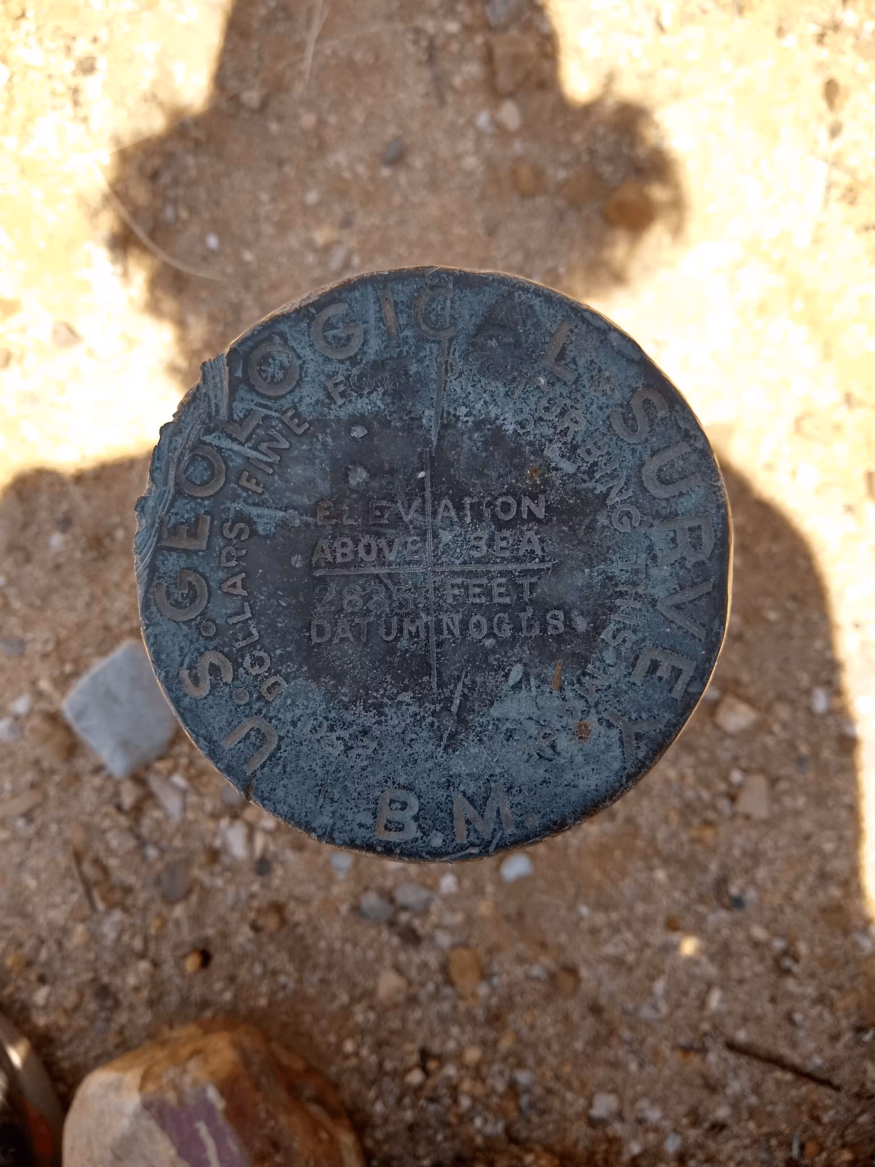
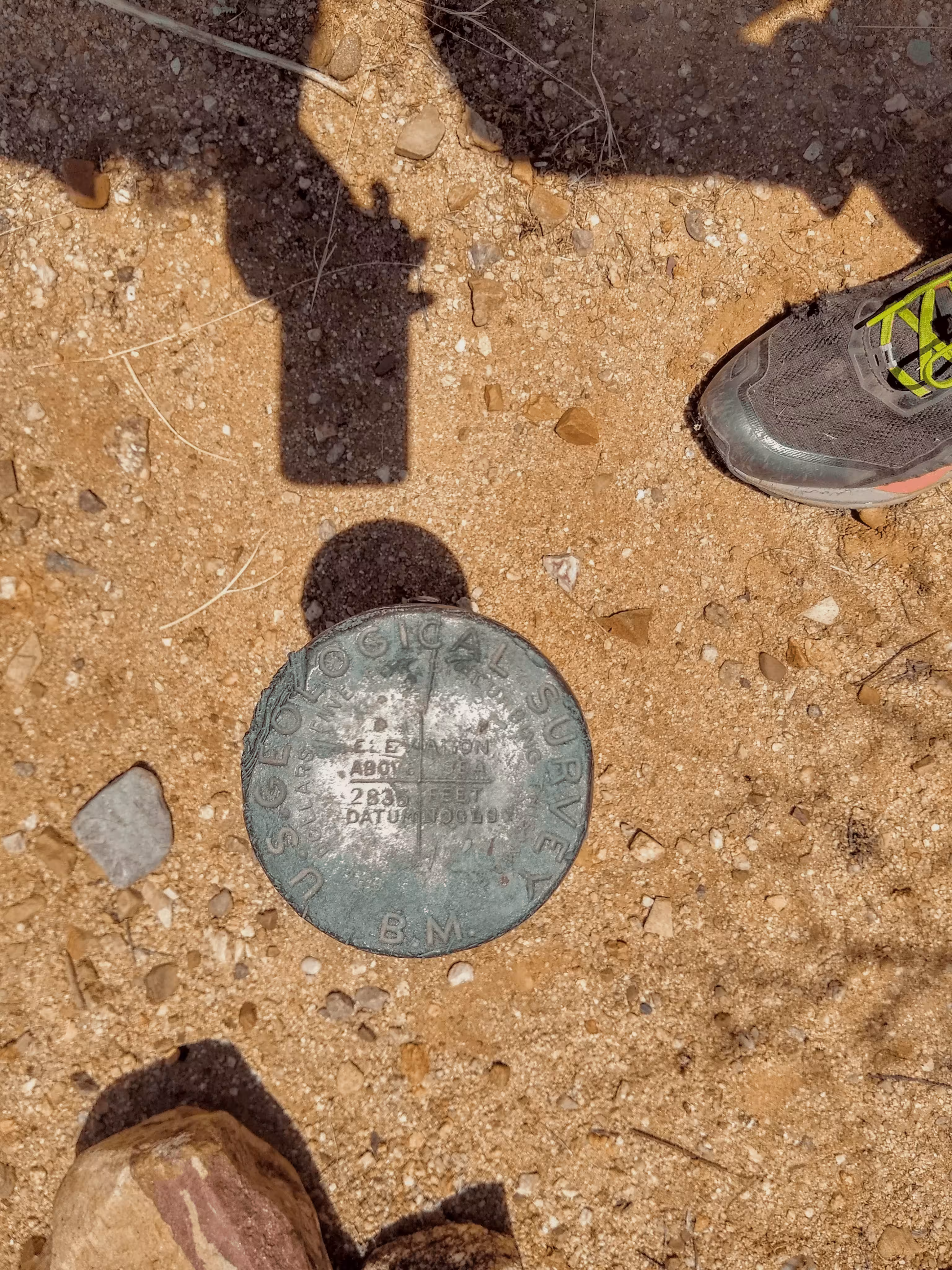
"NOGLS 2835"
| NGS PointID: | CZ0122 |
| Reference Benchmarks: | None |
| Condition: | Extreme ware present around the edges and in the center of the disk. Gashes present in the top left corner of the disk. |
| Stamping: | 2835 NOGLS |
| Coordinates: | 32.440820, -110.933579 |
| Elevation: | 2847.251 ft (787.936 m) |
| Setting: | Pipe cap. |
| Monumentor: | USGS |
Datasheet Description:
Catalina Scool, 1.5 mi. N. of along U.S. Highway 80; on a ridge; 20 ft. E. of center of highway; standard iron post with bronze cap stamped "2835 NOGLS"
"NOGLS 2835" is a benchmark monumented by the USGS in 1904 located in Pima County, Arizona.
This disc is apart of the NOGLS vertical datum conducted during 1903, 1904, and 1905 across the Tucson area. To learn more about the NOGLS datum see this page.
A pass for Catalina State Park should be obtained before accessing the mark, as the mark in on state park land. Passes can be obtained at the state park fee station for $3.00 per individual.
To reach the mark, from the intersection of Arizona State Route 77 (Oracle Road) and Tangerine Road, for 0.8 miles northbound. Park at a pullout for a power line road. Open the gate (pull westwards) and proceed through. Pack north for 0.2 miles to mark. Follow pack trails and the fence if there are none.