|
|
Main benchmarks recovered in good or poor condition. |
|
|
Main benchmarks that have been destroyed. |
|
|
Reference benchmarks recovered in good or poor condition. |
|
|
Reference benchmarks that have been destroyed. |
|
|
Azimuth benchmarks recovered in good or poor condition. |
|
|
Azimuth benchmarks that have been destroyed. |
|
|
A main, reference, or azimuth benchmark not searched for. |
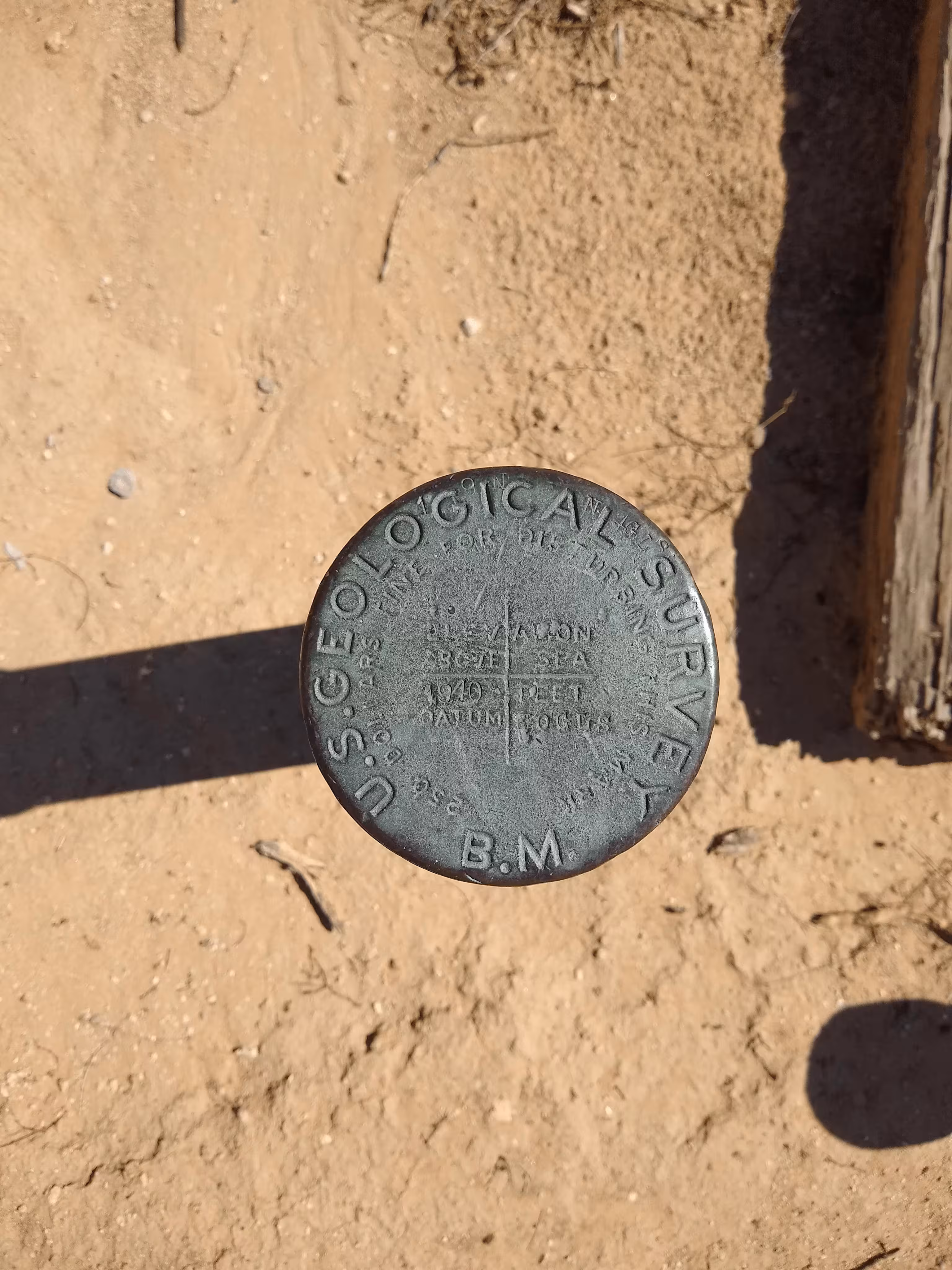
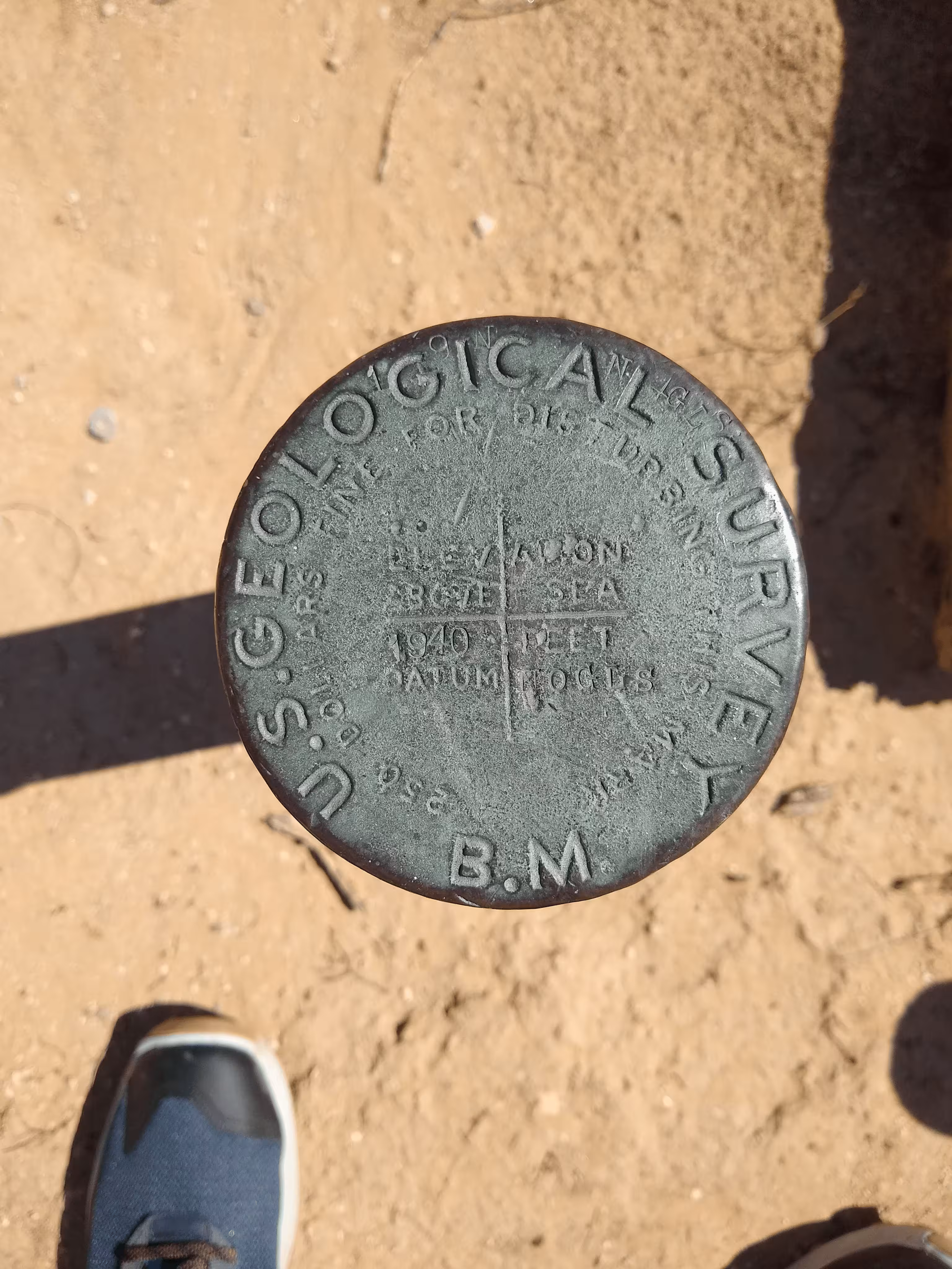
"NOGLS 1940"
| NGS PointID | CZ0374 |
| Reference Benchmarks: | None |
| Condition: | Ware and scratching. |
| Stamping: | 1940 NOGLS |
| Coordinates: | 32.501628, -111.260953 |
| Elevation: | 1951.522 ft (594.824 m) |
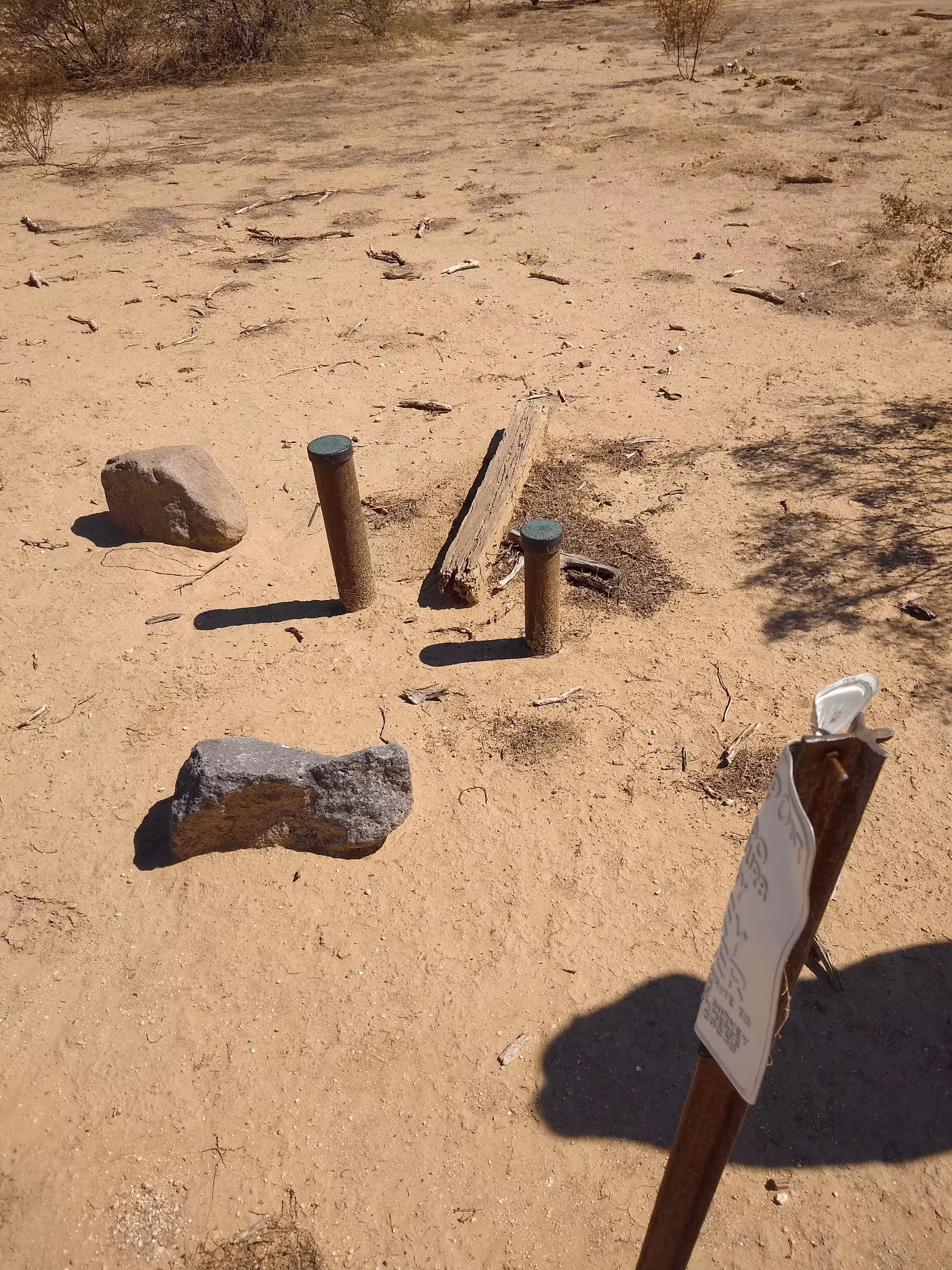
| Setting: | Pipe cap. |
| Monumentor: | USGS |
Datasheet Description:
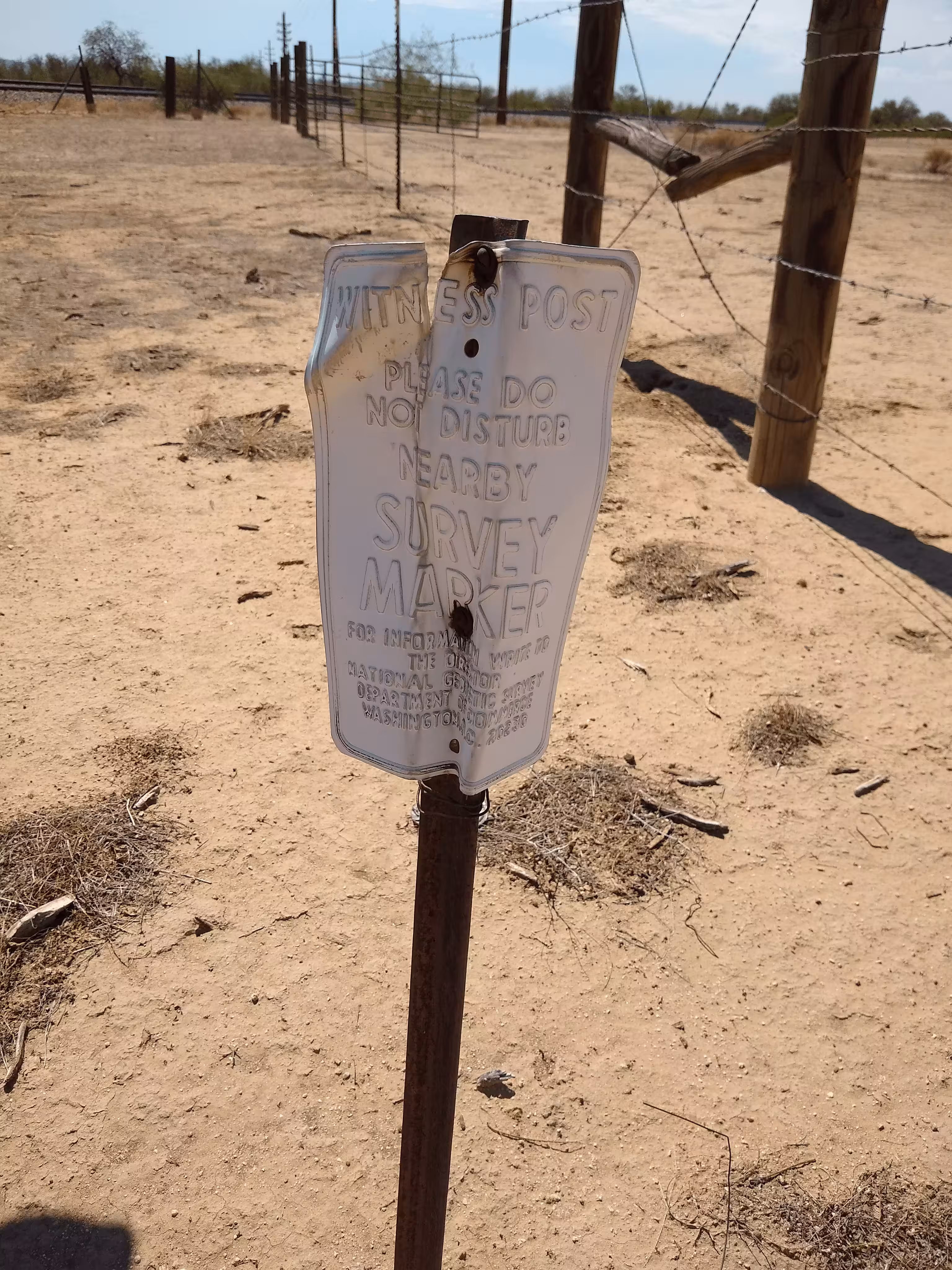
4.2 miles northwest along the Southern Pacific Railroad and State Highway 84 from the post office at Marana, about 3 poles northwest of mile pole 958, 209 feet northeast of signal tower number 9577, 205.5 feet northeast of the northeast rail of the main track, 106.8 feet northeast of the railroad right-of-way fence, 1.6 feet south of a witness post, and set in a 3 1/2 inch iron pipe projecting 1.3 foot above the ground.
Old Datasheet Description:
Naviska siding, 0.5 mile north of, 200 feet north of truck, 12 feet west of road, at Pima-Pinal county line; iron post stamped
"NOGLS 1940" is a benchmark monumented by the USGS in 1903 located in Pima County, Arizona.
This disc is apart of the NOGLS vertical datum conducted during 1903, 1904, and 1905 across the Tucson area. To learn more about the NOGLS datum see this page.
From Sandario Road and the north frontage road, head north along the frontage road for 3.9 miles. From this point, head northeast for 350 feet, crossing the railroad tracks to a gate in the fence. From the fence, the benchmark is 110 feet to the east.