|
|
Main benchmarks recovered in good or poor condition. |
|
|
Main benchmarks that have been destroyed. |
|
|
Reference benchmarks recovered in good or poor condition. |
|
|
Reference benchmarks that have been destroyed. |
|
|
Azimuth benchmarks recovered in good or poor condition. |
|
|
Azimuth benchmarks that have been destroyed. |
|
|
A main, reference, or azimuth benchmark not searched for. |
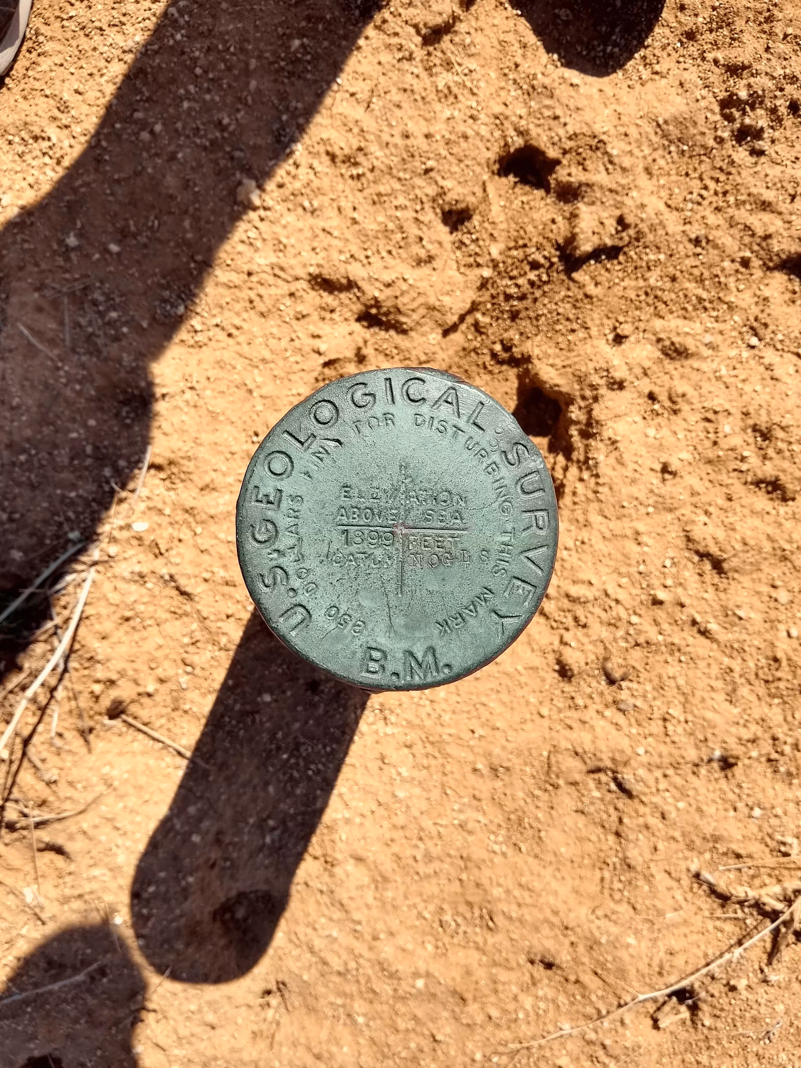
"NOGLS 1899"
| NGS PointID | CZ0360 |
| Reference Benchmarks: | None |
| Condition: | Ware and scratching. |
| Stamping: | 1899 NOGLS |
| Coordinates: | 32.541301, -111.295359 |
| Elevation: | 1910.486 ft (582.316 m) |
| Setting: | Pipe cap. |
| Monumentor: | USGS |
Datasheet Description:
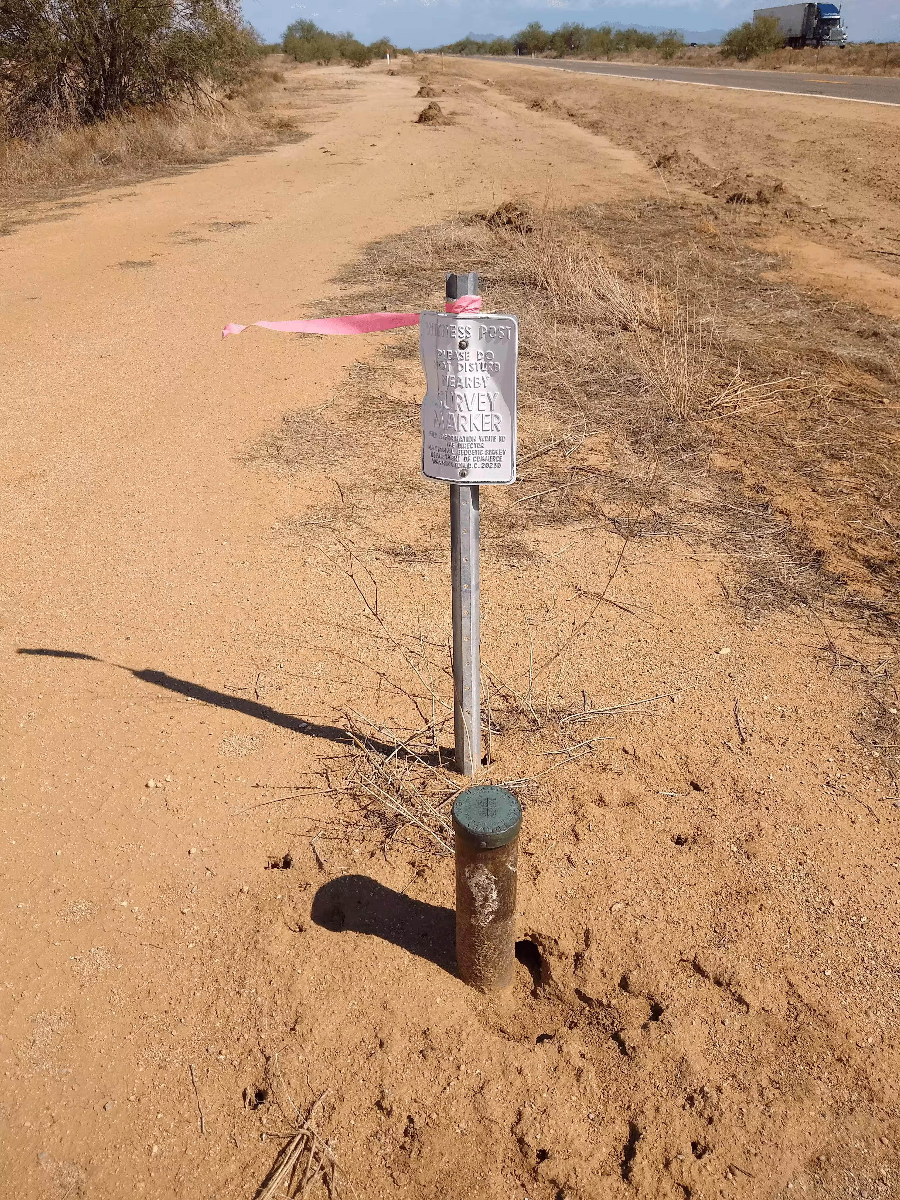
3.1 miles southeast along the Southern Pacific Railroad and State Highway 84 from the station at Red Rock, 0.15 mile southeast of the Avra railroad station, about midway between telegraph poles number 6 and 7, 97 feet southwest of the southwest rail of the main track, 62.6 feet southeast of telegraph pole number 7, 1 foot northwest of a witness post, rivited on top of a 3 1/2 inch iron pipe projecting 0.8 foot above the ground, and about 2 1/2 feet lower than the track.
Old Datasheet Description:
Milepost 953, 50 feet west of, 4 feet southeast of gate; iron post stamped "1899 NOGLS"
"NOGLS 1899" is a benchmark monumented by the USGS in 1903 located in Pima County, Arizona.
This disc is apart of the NOGLS vertical datum conducted during 1903, 1904, and 1905 across the Tucson area. To learn more about the NOGLS datum see this page.
From Red Rock and the north frontage road, head south along the frontage road for 2.7 miles. The benchmark is just off the side of the road with a witness post right next to it.