|
|
Main benchmarks recovered in good or poor condition. |
|
|
Main benchmarks that have been destroyed. |
|
|
Reference benchmarks recovered in good or poor condition. |
|
|
Reference benchmarks that have been destroyed. |
|
|
Azimuth benchmarks recovered in good or poor condition. |
|
|
Azimuth benchmarks that have been destroyed. |
|
|
A main, reference, or azimuth benchmark not searched for. |
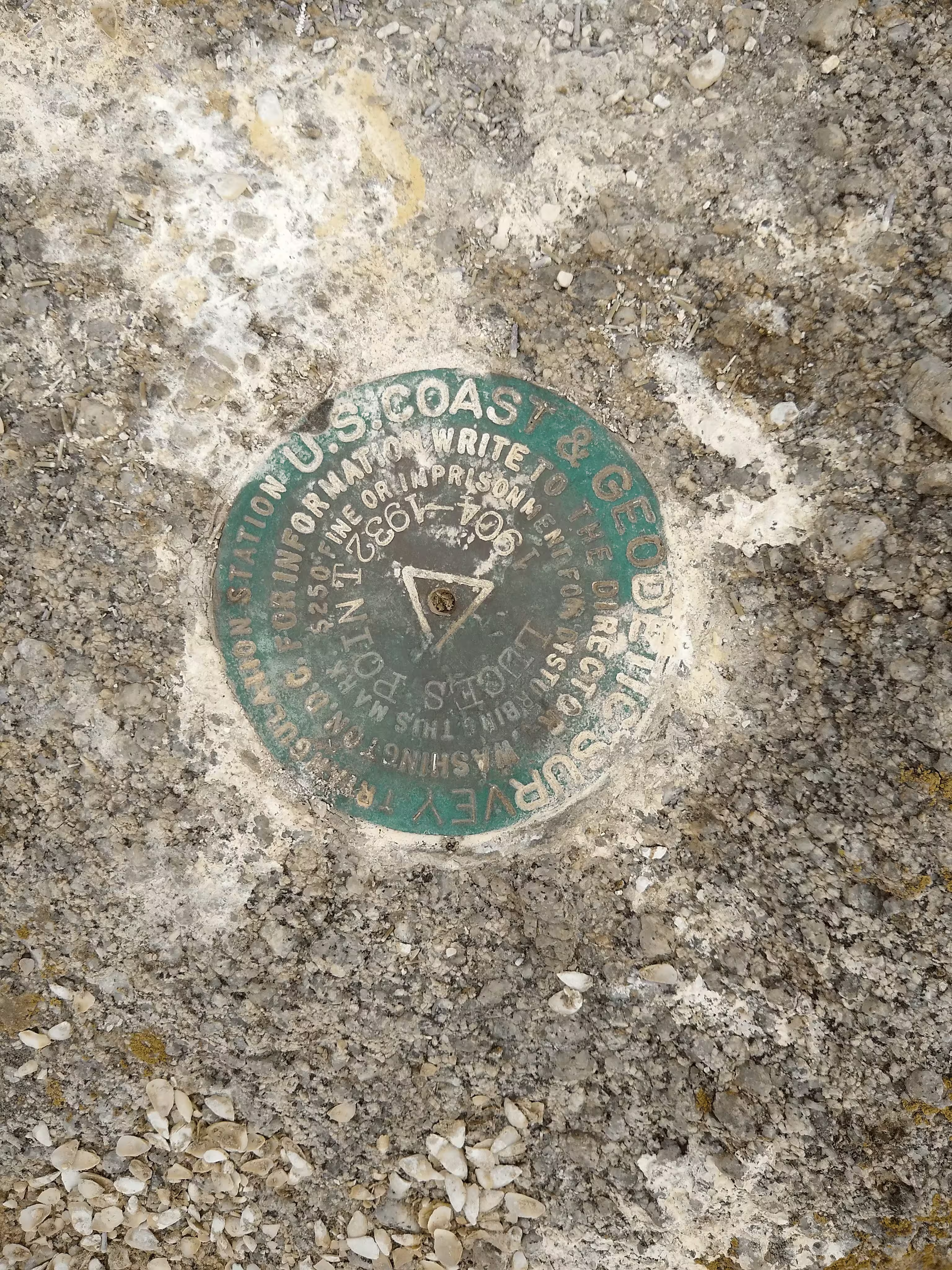
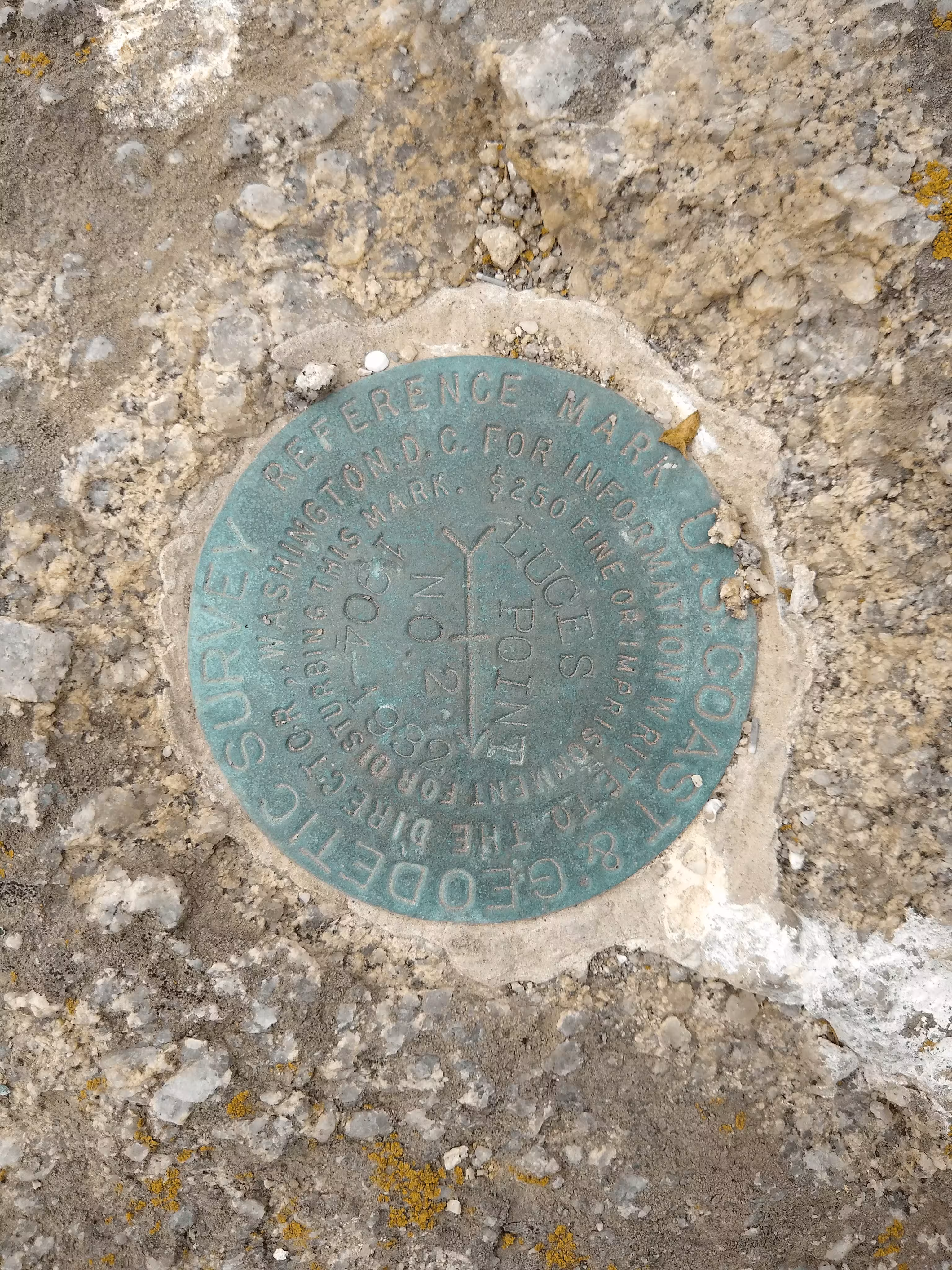
"LUCES POINT"
| NGS PointID: | GU4007 |
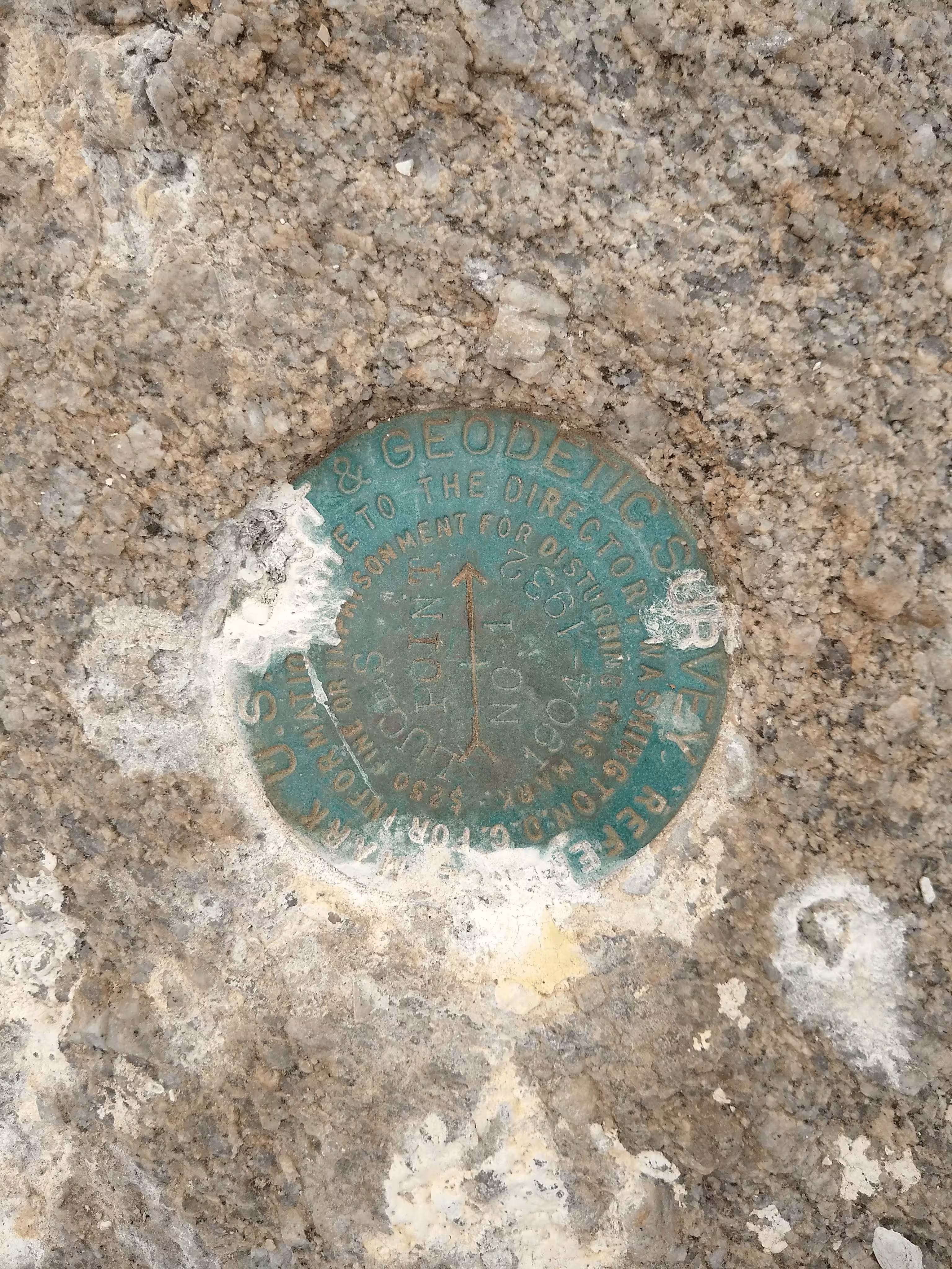
| Reference Benchmarks: | LUCES POINT NO 1, LUCES POINT NO 2 |
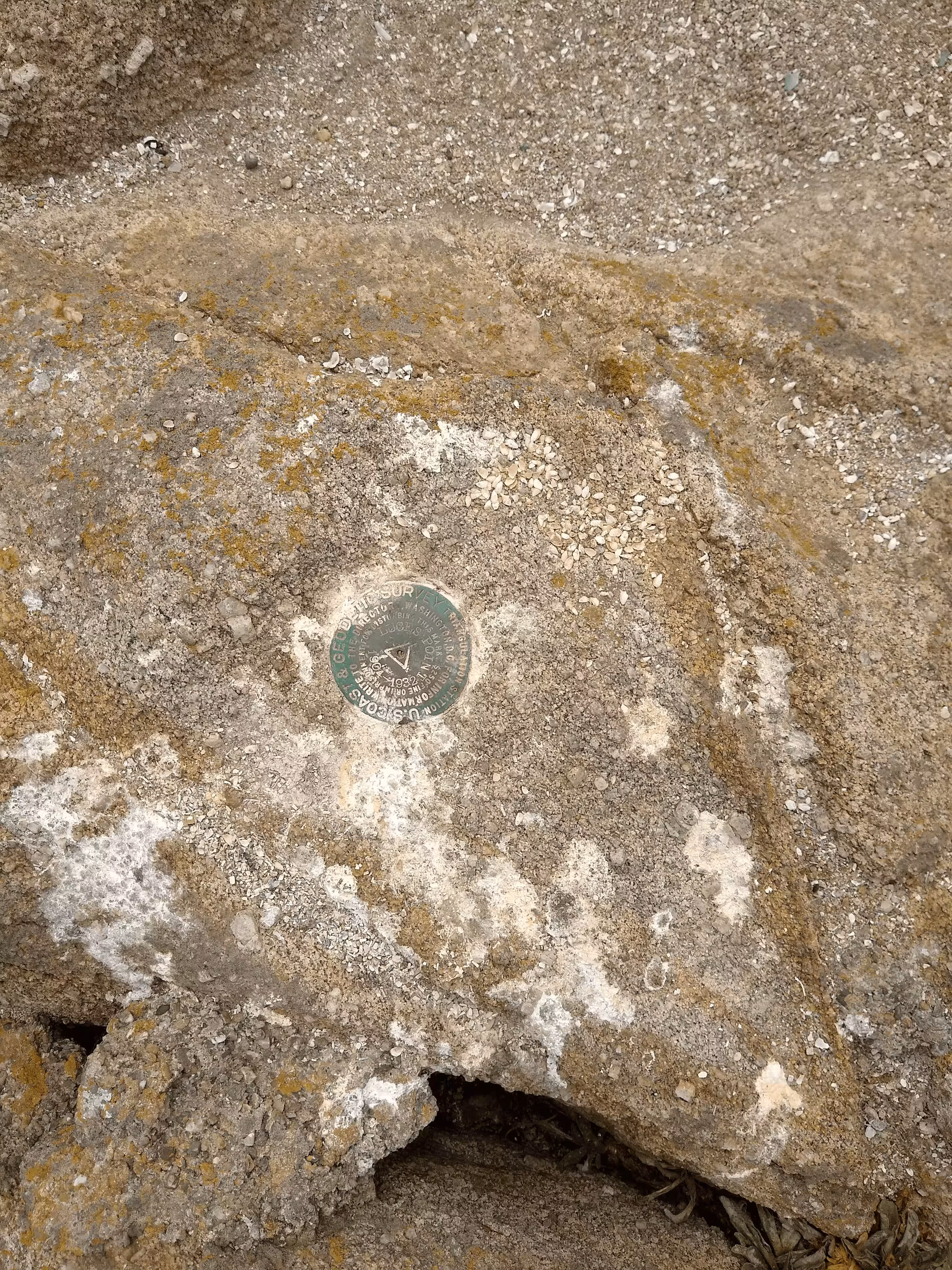
| Condition: | Ware and surrounded by guano. |
| Stamping: | LUCES POINT 1904-1932 |
| Coordinates: | 36.63621743, -121.92840169 |
| Elevation: | 31.0 ft (9.44 m) |
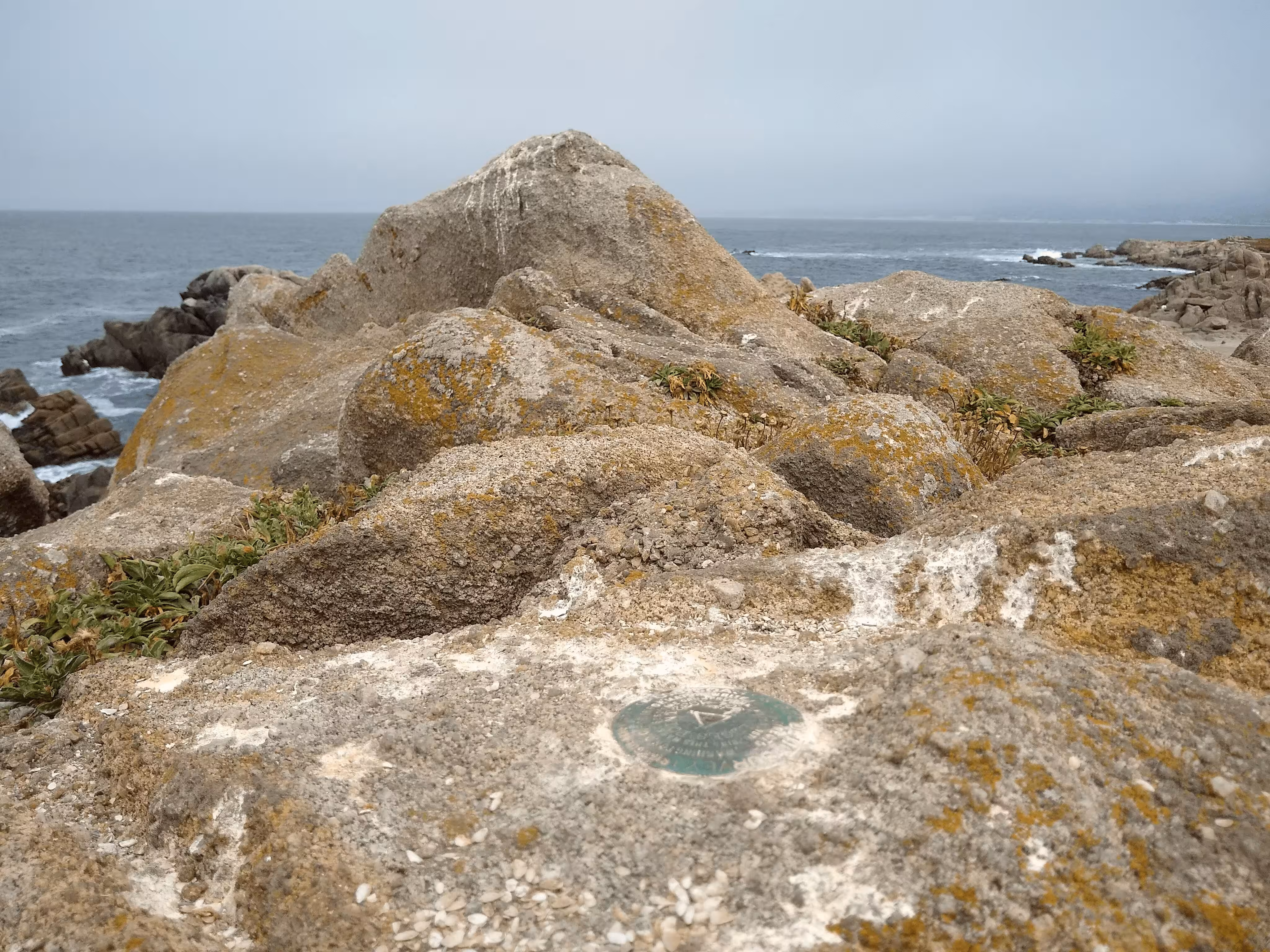
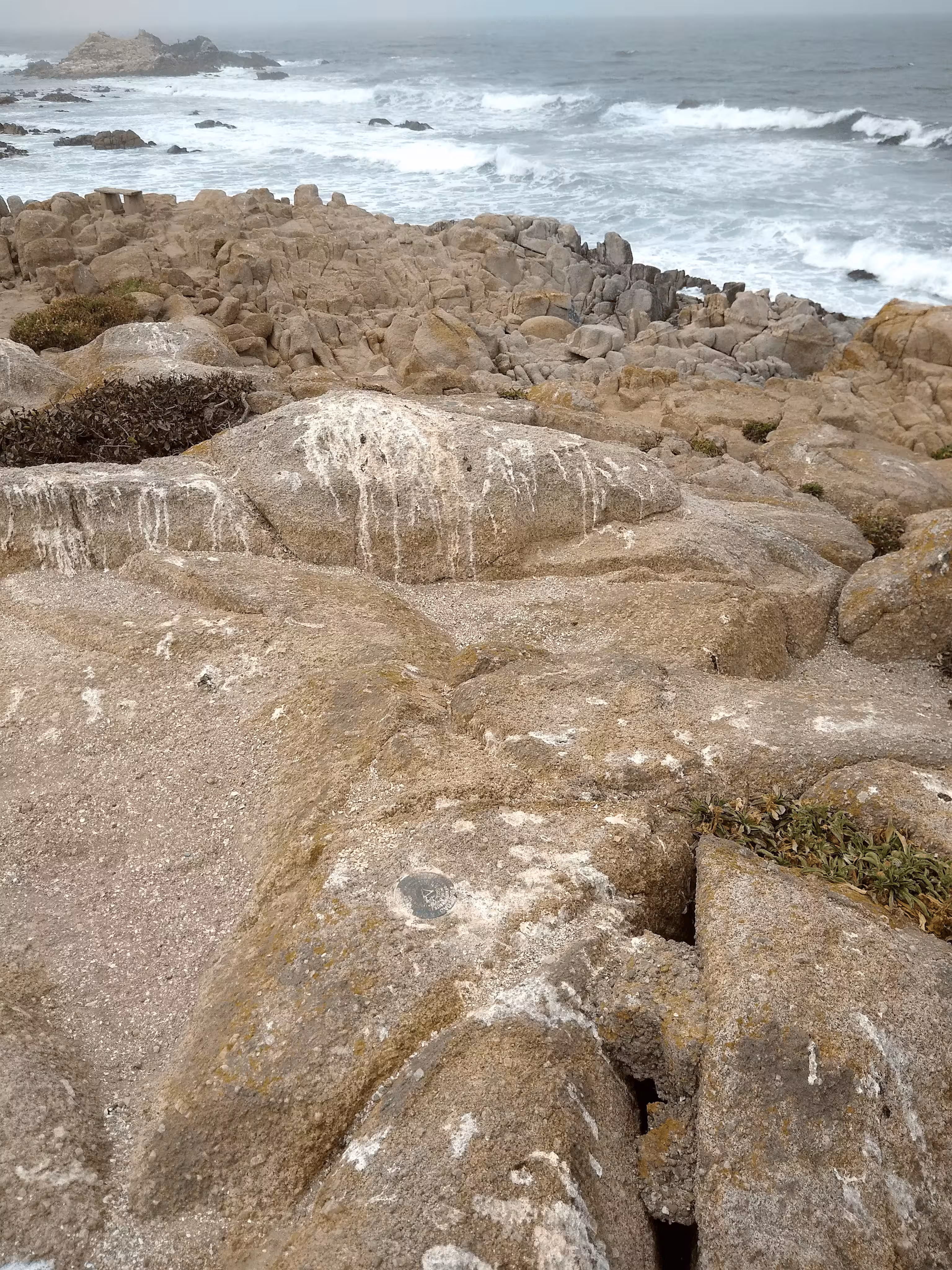
| Setting: | A massive rock outcrop |
| Monumentor: | USC&GS |
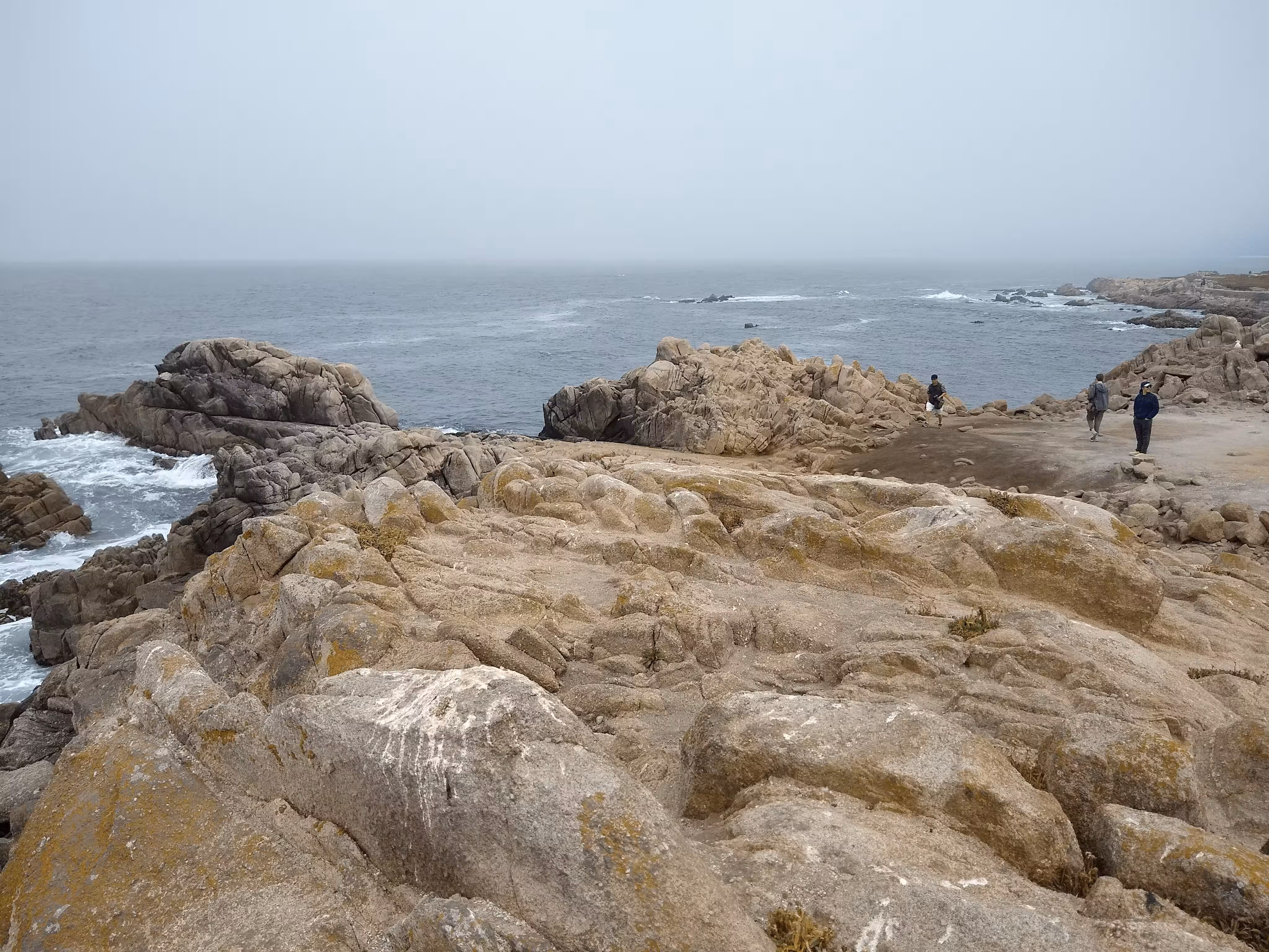
Datasheet Description:
On a point of rocks about 600 meters NE of Point Pinos Lighthouse and a quarter of a mile E of a small pond or lake near the beach at the northern part of the point. The station was marked by a hole drilled in the rock and filled with lead. The reference marks were two similar holes in the rock, each 6 feet from the station, to the N and S.
Recovered as described by F. Swift in 1904 [above], with the exception that the S reference mark was gone.
Station was re-marked by putting a standard disk in center, wedged in a drill hole in outcropping bedrock and surrounded by a triangle chiseled in the rock as described in note 2a.
Two reference marks, marked, as described in note 12a, by standard bronze disks in outcropping bedrock, were established.
Station reached from Monterey by following road to Point Pinos 3.3 miles. Station is about 50 yards NW of road.
"LUCES POINT" is a benchmark monumented by the USC&GS in 1932 located in Monterery County, California, remarking a point monumented in 1904 formerly marked by lead in the same position. It has 4 dedicated reference marks, 2 of which are disks.
Reports indicate that the south lead plug serving as one of the original 1904 references is gone, but I could not confirm that either lead plug was present.