|
|
Main benchmarks recovered in good or poor condition. |
|
|
Main benchmarks that have been destroyed. |
|
|
Reference benchmarks recovered in good or poor condition. |
|
|
Reference benchmarks that have been destroyed. |
|
|
Azimuth benchmarks recovered in good or poor condition. |
|
|
Azimuth benchmarks that have been destroyed. |
|
|
A main, reference, or azimuth benchmark not searched for. |
"INDIAN NO 2"
| NGS PointID: | DU1023 |
| Reference Benchmarks: | INDIAN, INDIAN NO 1 |
| Condition: | Scratched up and dirty |
| Stamping: | INDIAN NO 2 1962 |
| Coordinates: | 33.12603, -111.84077 |
| Elevation: | 1216.0 ft (370.65 m) |
| Setting: | Concrete monument |
| Monumentor: | USC&GS |
Datasheet Description:
Reference mark 2, a standard reference disk set in the top of a round concrete post which projects 4 inches and stamped INDIAN NO 2 1962. The mark is 51 feet north of a telephone pole, 50 feet east of center of road, 32.5 feet south of witness post and 3 feet north of a yellow 2 x 4 witness post.
"INDIAN NO 2" is a benchmark monumented by the USC&GS in 1962 located in Pinal County, Arizona. It is a dedicated reference mark for INDIAN, which has been destroyed.
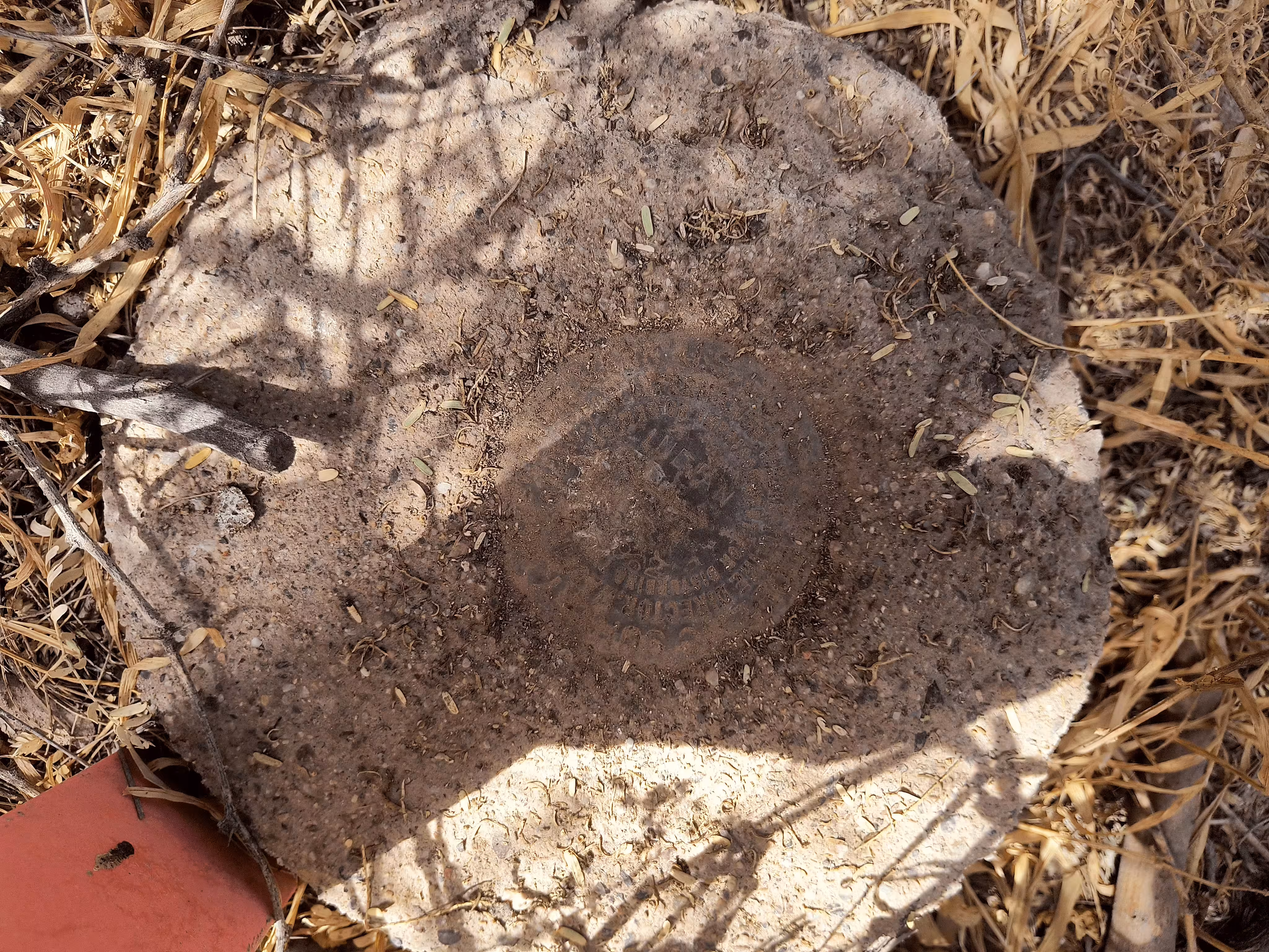
A closeup of INDIAN NO 2.
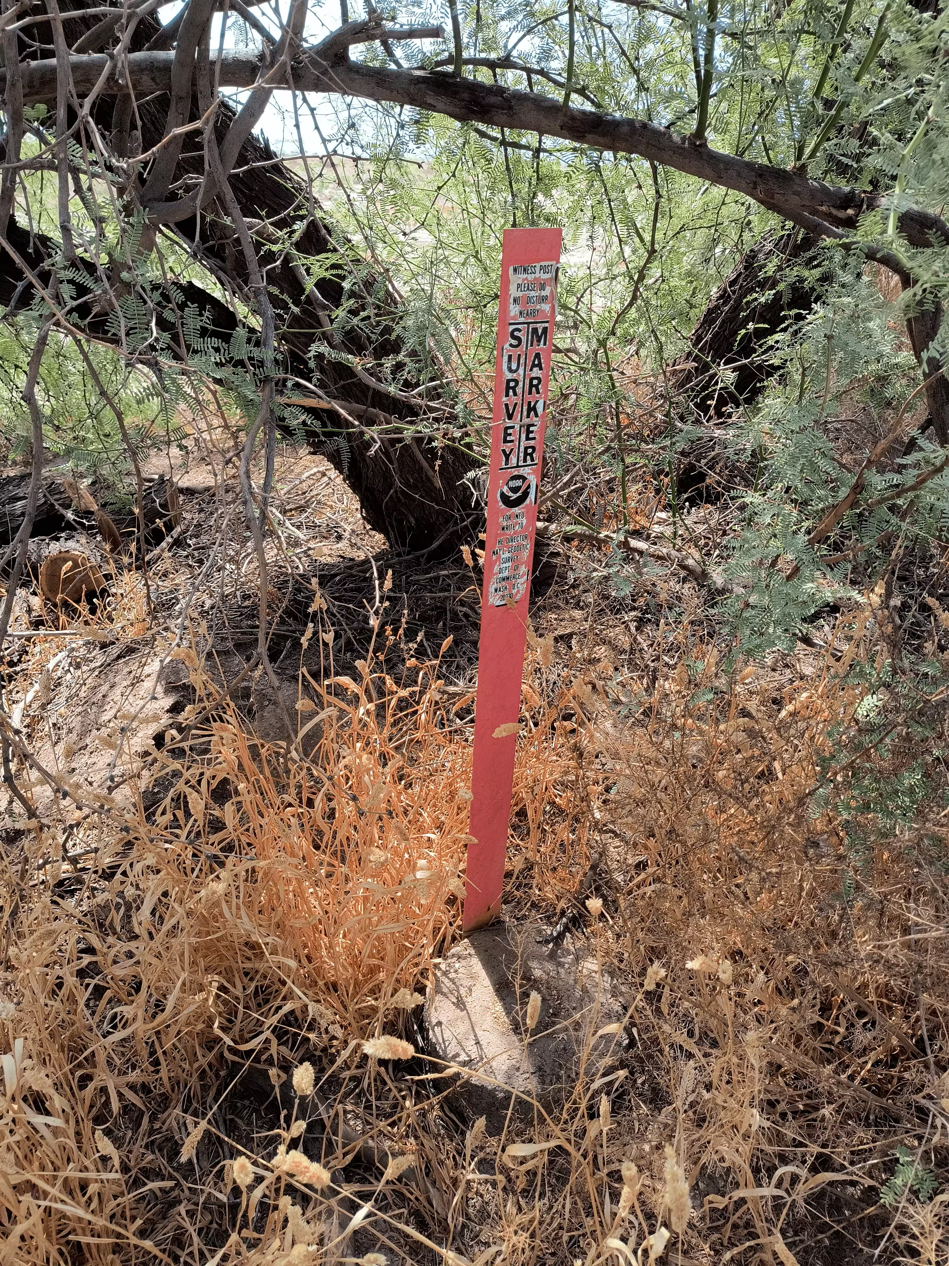
INDIAN NO 2 further back.