|
|
Main benchmarks recovered in good or poor condition. |
|
|
Main benchmarks that have been destroyed. |
|
|
Reference benchmarks recovered in good or poor condition. |
|
|
Reference benchmarks that have been destroyed. |
|
|
Azimuth benchmarks recovered in good or poor condition. |
|
|
Azimuth benchmarks that have been destroyed. |
|
|
A main, reference, or azimuth benchmark not searched for. |
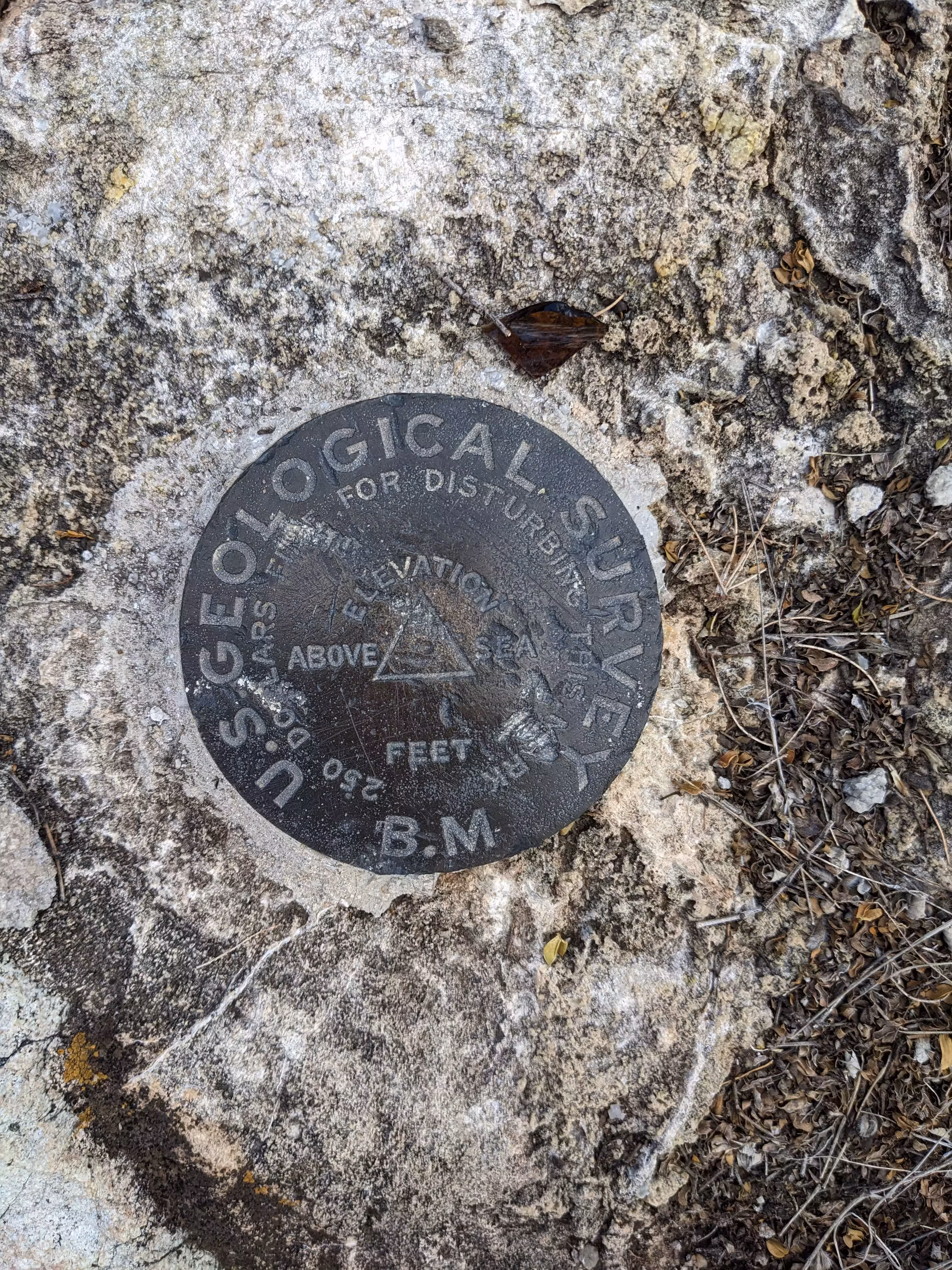
"COMSTOCK"
| Condition: | Ware and very shallow gashes |
| Stamping: | (none) |
| Coordinates: | 31.719611, -110.074181 |
| Elevation: | 4592.59 ft (1399.82 m) |
| Setting: | A rock outcrop. |
| Monumentor: | USGS |
Datasheet Description:
A secondary station on a low hill on west edge of Tombstone. The hill is called Comstock by some of the old settlers.
Station mark: A bronze tablet centered under a small rock monument.
"COMSTOCK" (USGS) is a benchmark monumented by the USGS in 1903 located in Cochise County, Arizona. I originally based the name of the benchmark off of the name of the hill descibed on the original USGS topographic maps upon which the benchmark is situated, "Comstock Hill". Upon finding desciptions of triangulation stations online, the true name of the benchmark was revealed. In USGS bulletin 245, Results of Primary Triangulation and Primary Traverse Fiscal Year 1903-04, the benchmark is described on document page 166 (PDF page 167), using the name "COMSTOCK".
The benchmark is on top of Comstock Hill at the west of the concrete ring.