|
|
Main benchmarks recovered in good or poor condition. |
|
|
Main benchmarks that have been destroyed. |
|
|
Reference benchmarks recovered in good or poor condition. |
|
|
Reference benchmarks that have been destroyed. |
|
|
Azimuth benchmarks recovered in good or poor condition. |
|
|
Azimuth benchmarks that have been destroyed. |
|
|
A main, reference, or azimuth benchmark not searched for. |
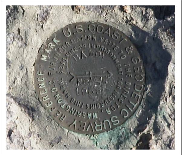
"BALDY NO 2"
| NGS PointID: | CC6014 |
| Reference Benchmarks: | BALDY 2, BALDY NO 1, BALDY USGS RM |
| Condition: | Ware and gashing, stem halfway exposed. |
| Stamping: | BALDY NO - 2. 1935 |
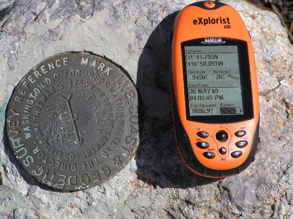
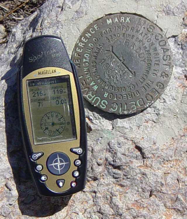
| Coordinates: | 31.69591, -110.84821 |
| Elevation: | 9448.23 ft (2879.82 m) |
| Setting: | Rock |
| Monumentor: | USC&GS |
"BALDY NO 2" is a benchmark monumented by the USC&GS in 1935 located in Santa Cruz County, Arizona. It is a dedicated reference mark for BALDY 2, which has been destroyed.
The best way to get to "BALDY NO 2" is to go up the Old Baldy Trail to the summit of Mount Wrightson.
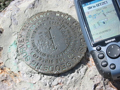
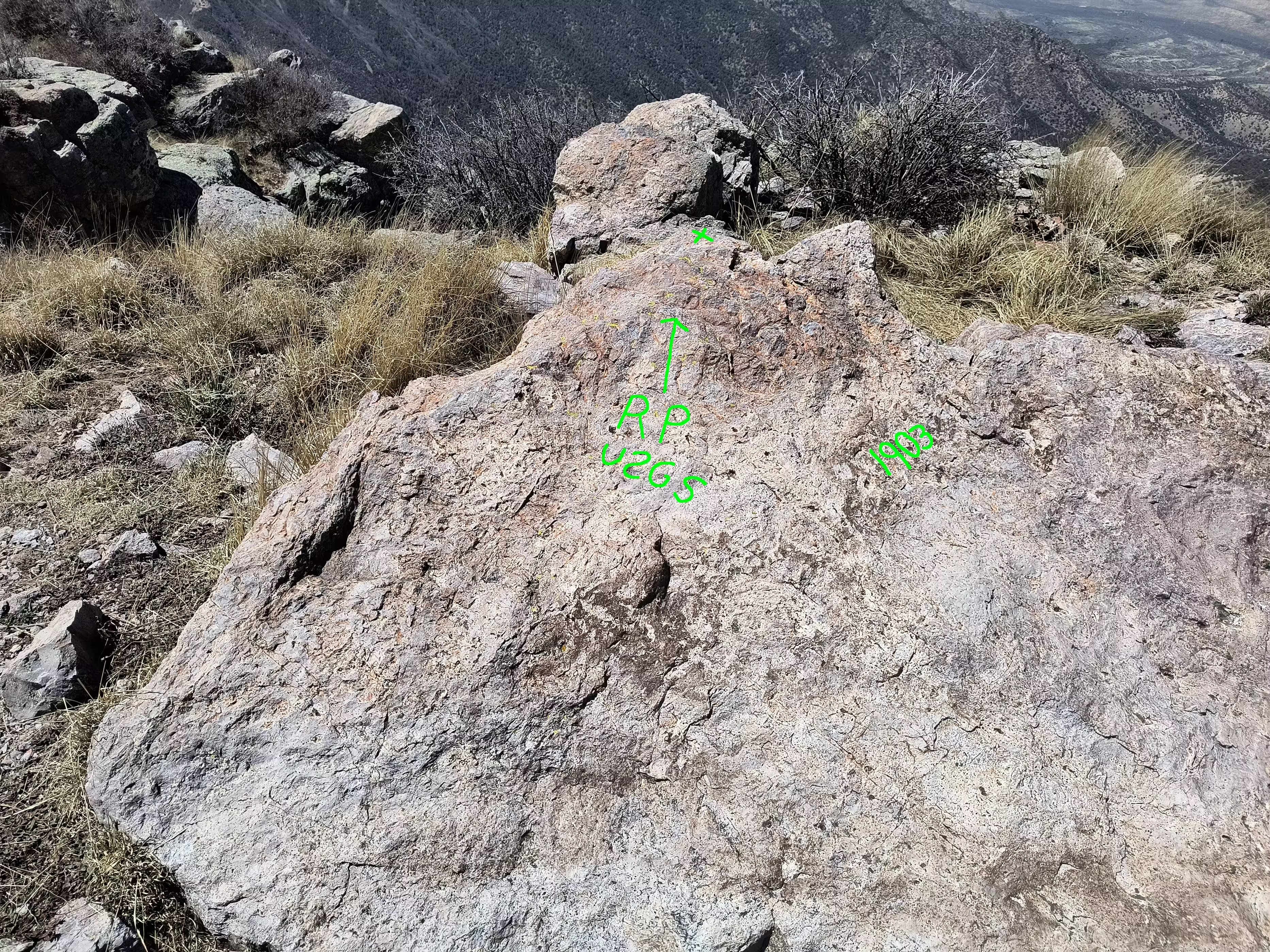
So there is a picture of reference mark 1 here, here, here, and here but it wasn't obvious on the summit. There is an imprint in a rock of a former benchmark which I've concluded to be RM 1. It is odd that the original distription only talks about RM 1, however it is worth noting that the old lookout house was used as a reference as well.
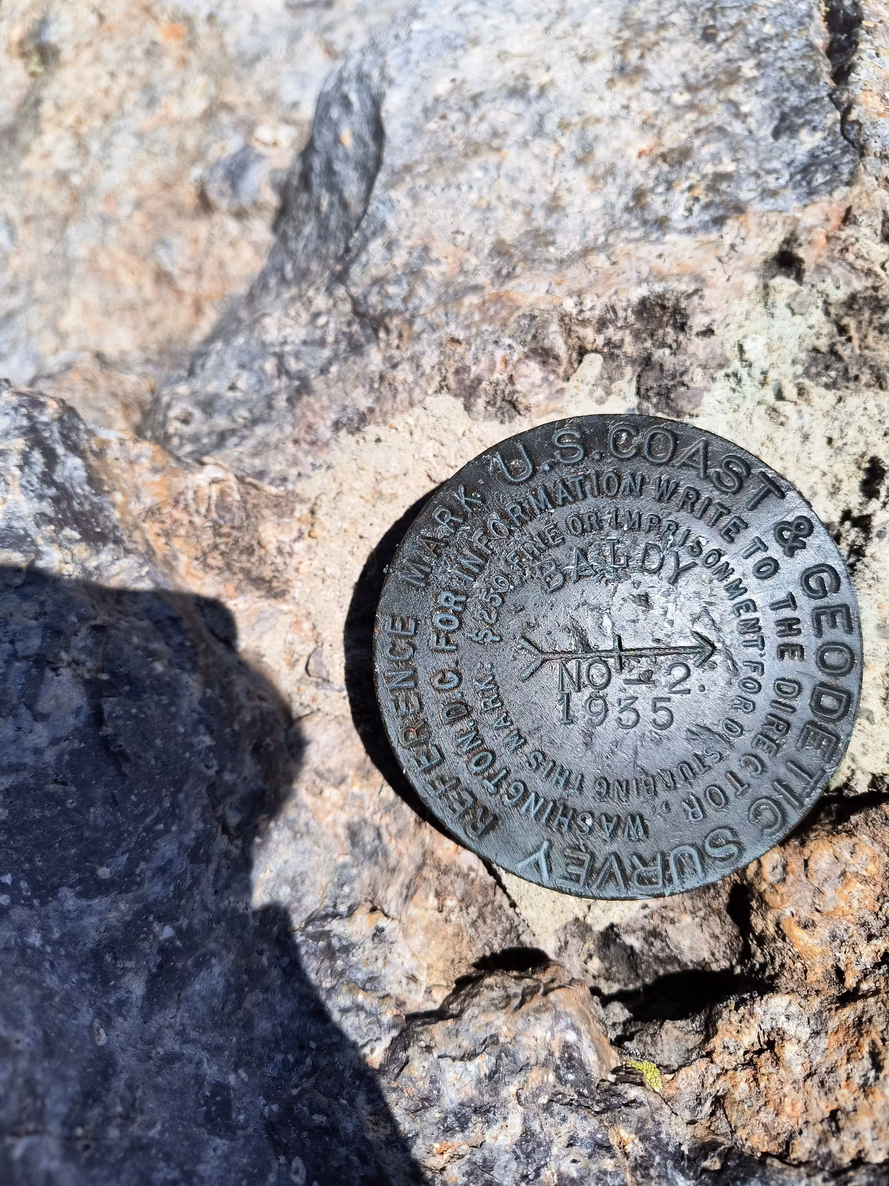
A closeup of BALDY NO 2.
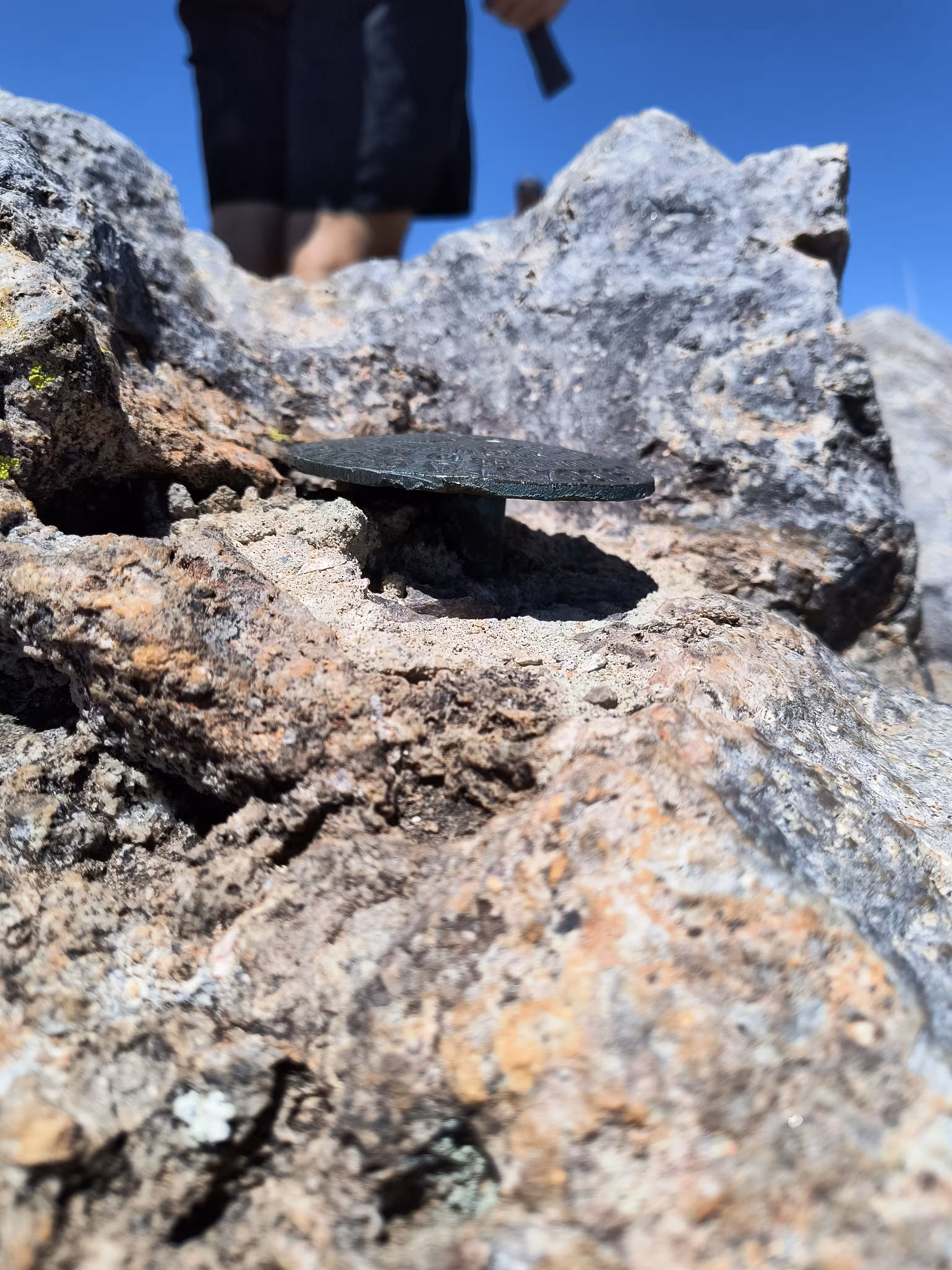
A closeup of BALDY NO 2 from the side.
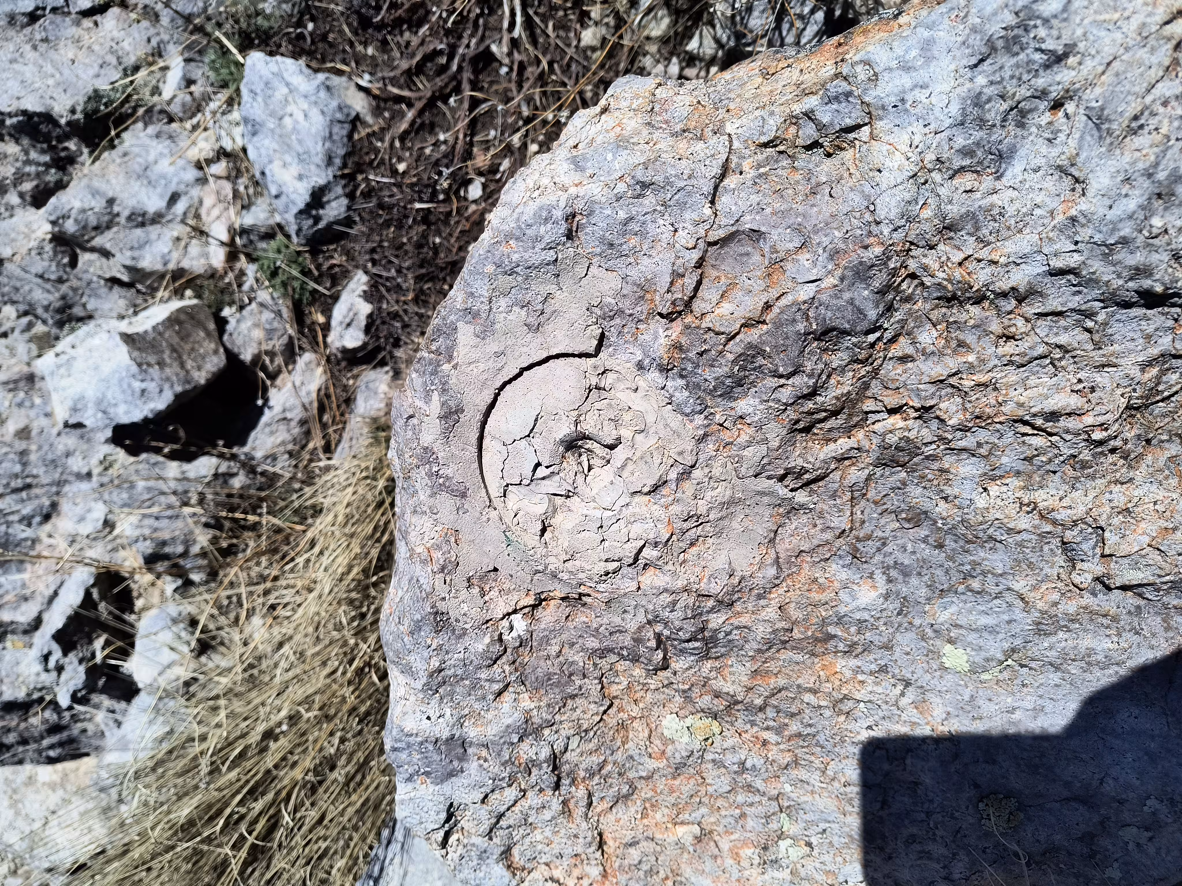
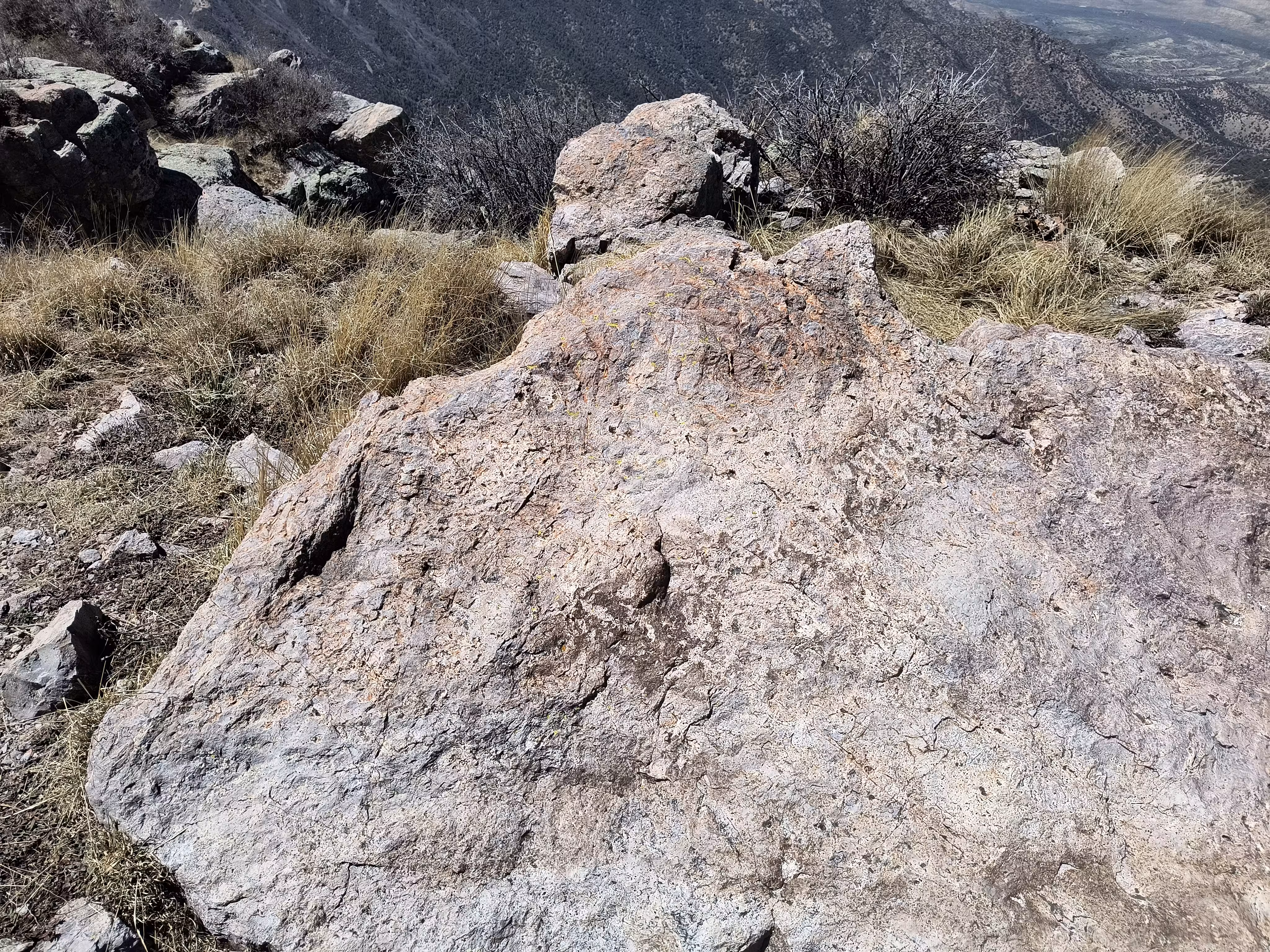
A closeup of BALDY NO 1 imprint.
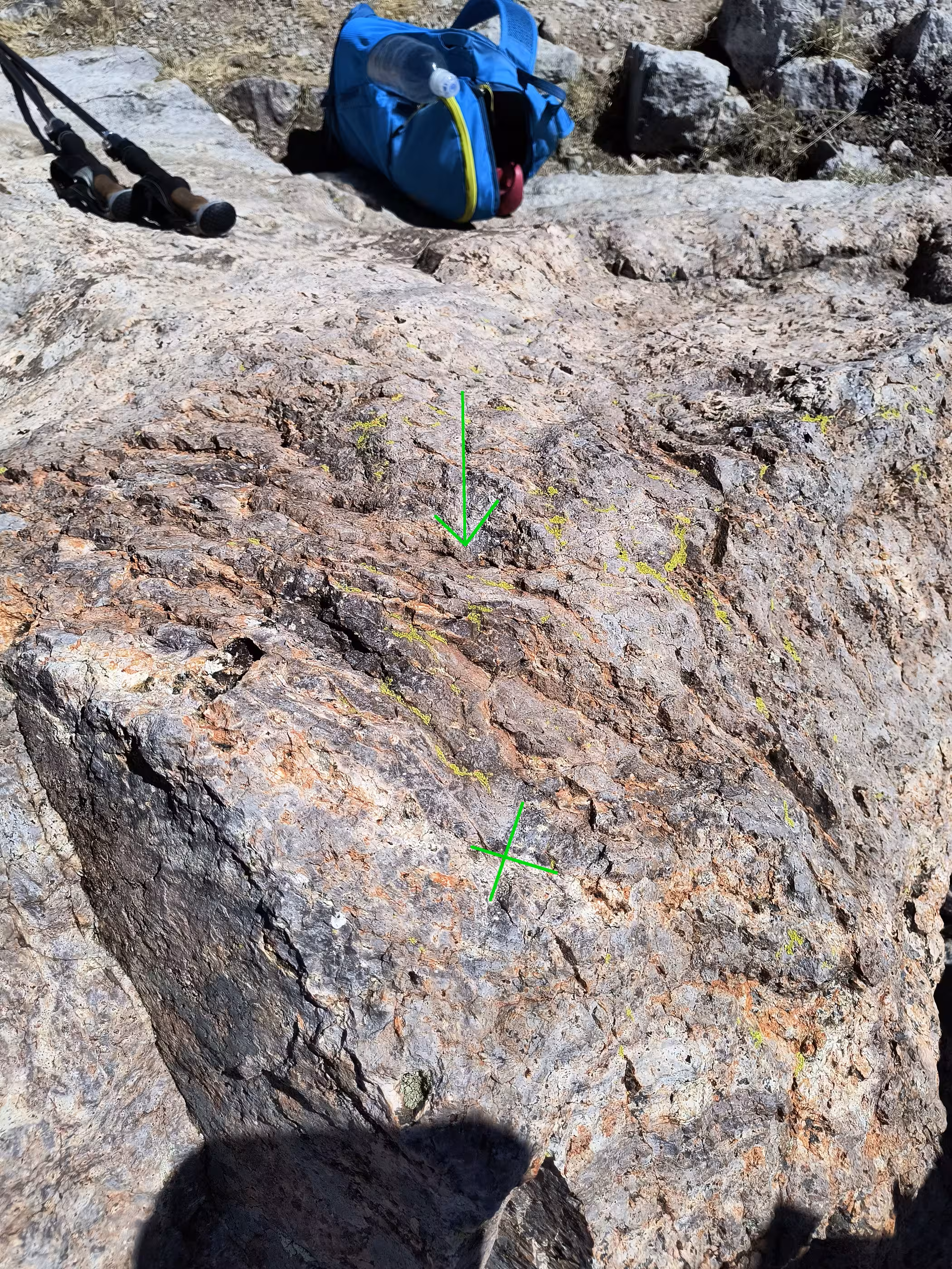
BALDY's USGS RM marking.
BALDY's USGS RM marking from the front.

BALDY's USGS RM marking from the side.
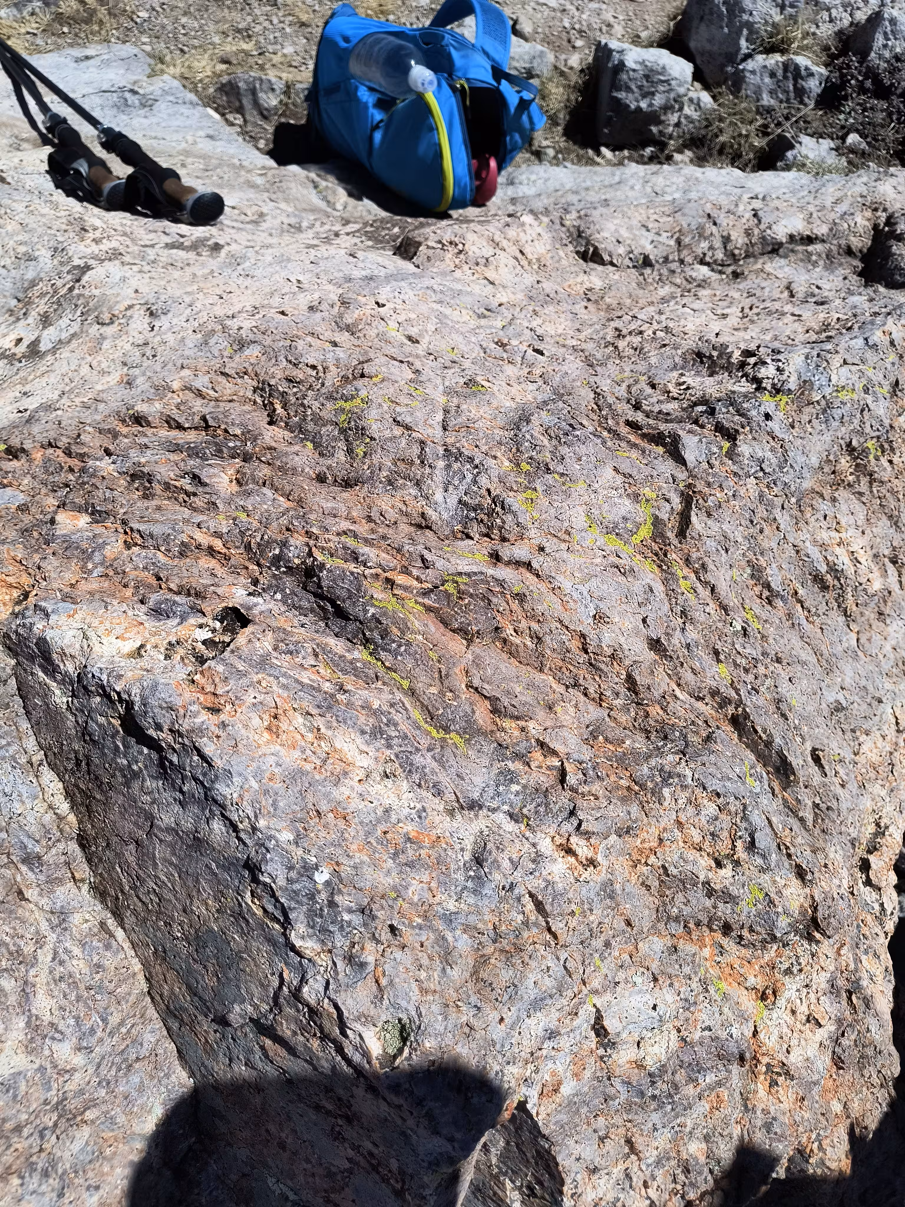
BALDY's USGS RM marking raw.
BALDY's USGS RM marking from the front raw.
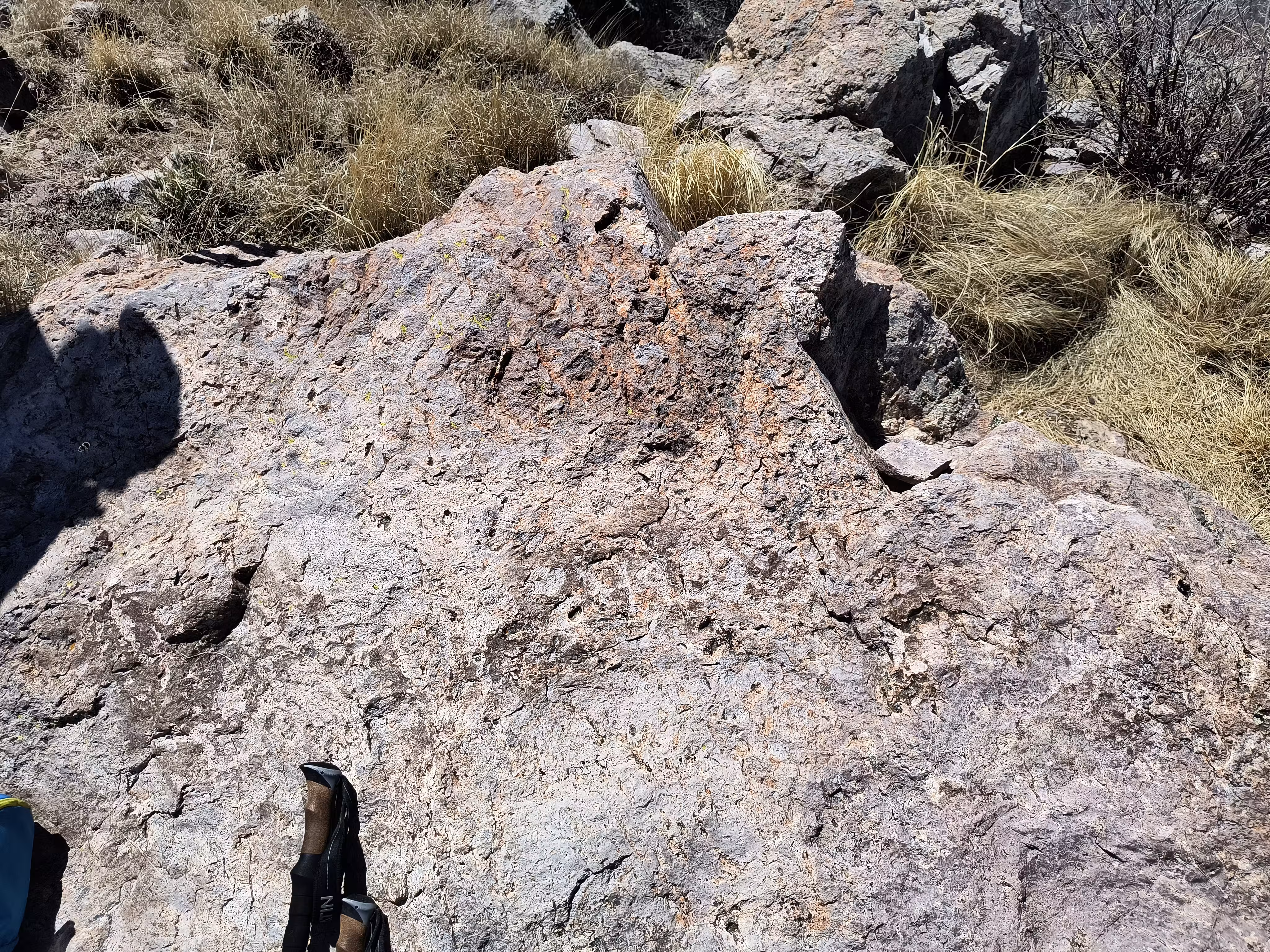
BALDY's USGS RM marking from the side raw.