|
|
Main benchmarks recovered in good or poor condition. |
|
|
Main benchmarks that have been destroyed. |
|
|
Reference benchmarks recovered in good or poor condition. |
|
|
Reference benchmarks that have been destroyed. |
|
|
Azimuth benchmarks recovered in good or poor condition. |
|
|
Azimuth benchmarks that have been destroyed. |
|
|
A main, reference, or azimuth benchmark not searched for. |
"V 27"
| NGS PointID | PL0314 |
| Reference Benchmarks: | None |
| Condition: | Gashes and ware present. |
| Stamping: | 846.176 V 27 1930 |
| Coordinates: | 44.65067051, -85.76785433 |
| Elevation: | 845.925 ft (257.838 m) |
| Setting: | Square concrete post |
| Monumentor: | USC&GS |
Datasheet Description:
In Interlochen.
At Interlochen, 131 feet east of the junction of the abandoned branch of the Manistee and Northeastern Railroad and the C and O Railway, 47.2 feet east of the centerline of state highway 137, and 27.5 feet south of the south rail of the P. M. RY. track. A standard disk, stamped 846.176 V 27 1930 and set in the top of a concrete post projecting about 8 inches above ground.
"V 27" is a benchmark monumented by the USC&GS in 1930 located in Grand Traverse County, Michigan.
The mark is next to a small needle tree. It could affect stability and visibility of the mark in the future.
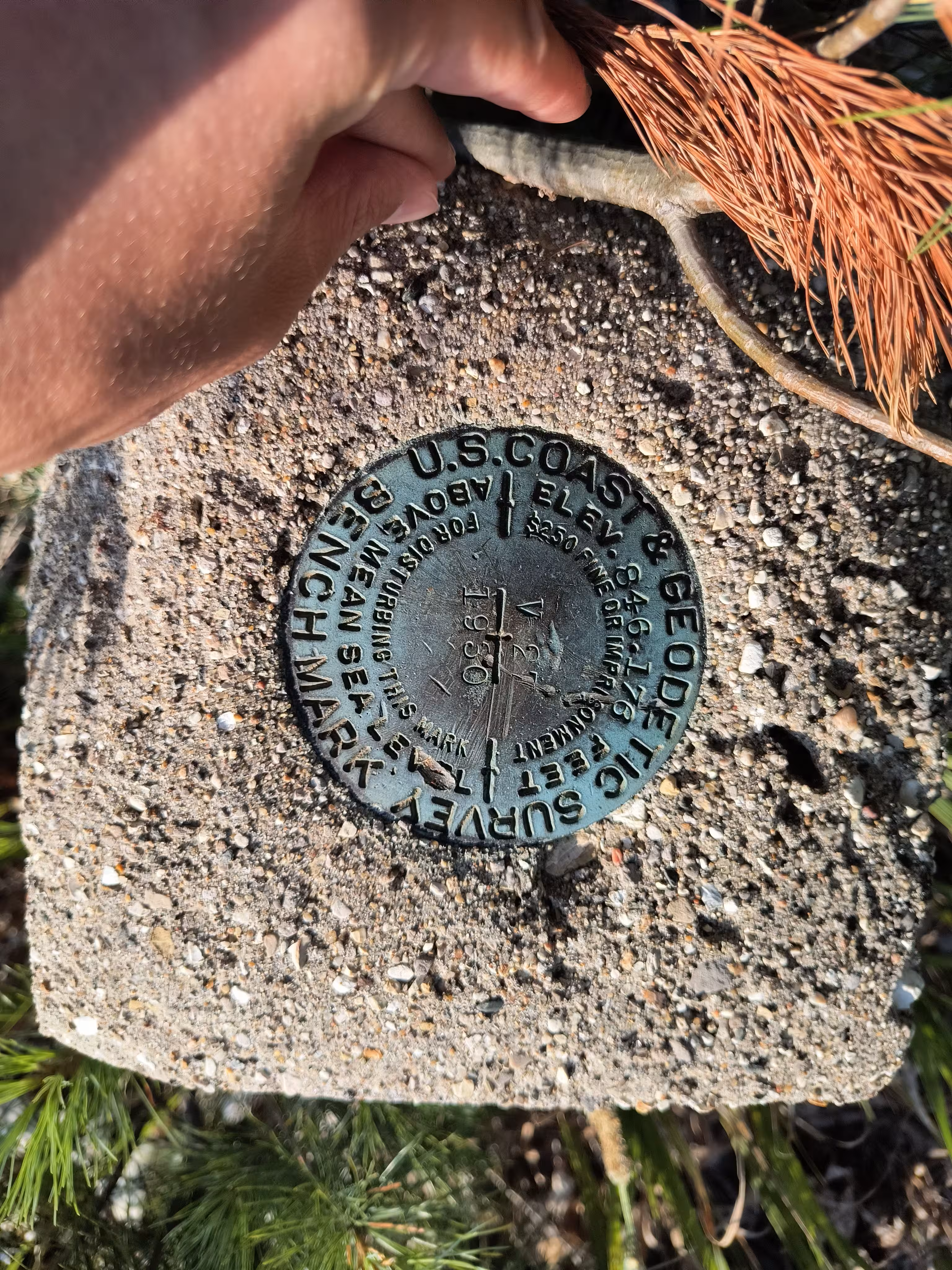
V 27 close up.
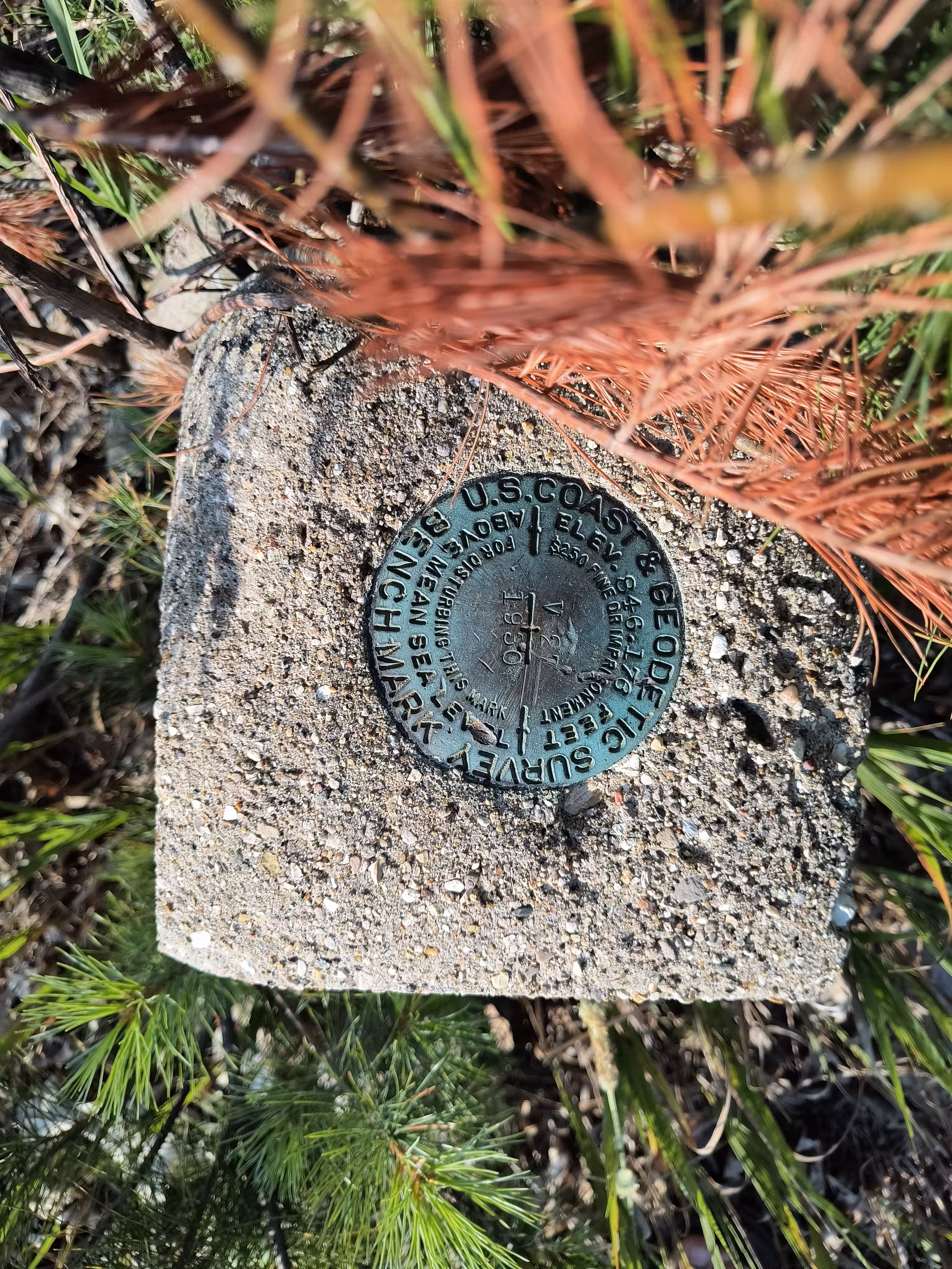
V 27 close up.
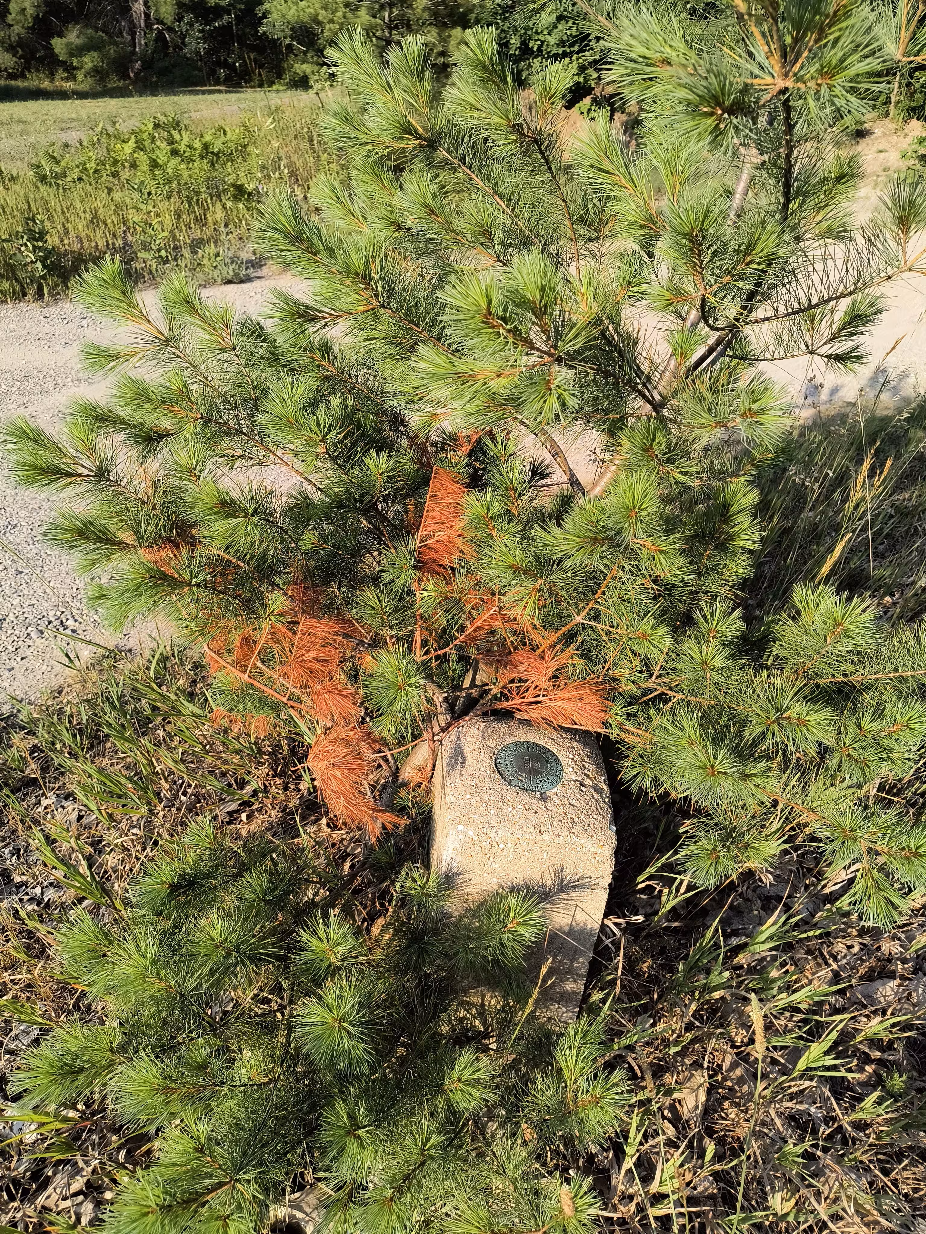
V 27 further back.