|
|
Main benchmarks recovered in good or poor condition. |
|
|
Main benchmarks that have been destroyed. |
|
|
Reference benchmarks recovered in good or poor condition. |
|
|
Reference benchmarks that have been destroyed. |
|
|
Azimuth benchmarks recovered in good or poor condition. |
|
|
Azimuth benchmarks that have been destroyed. |
|
|
A main, reference, or azimuth benchmark not searched for. |
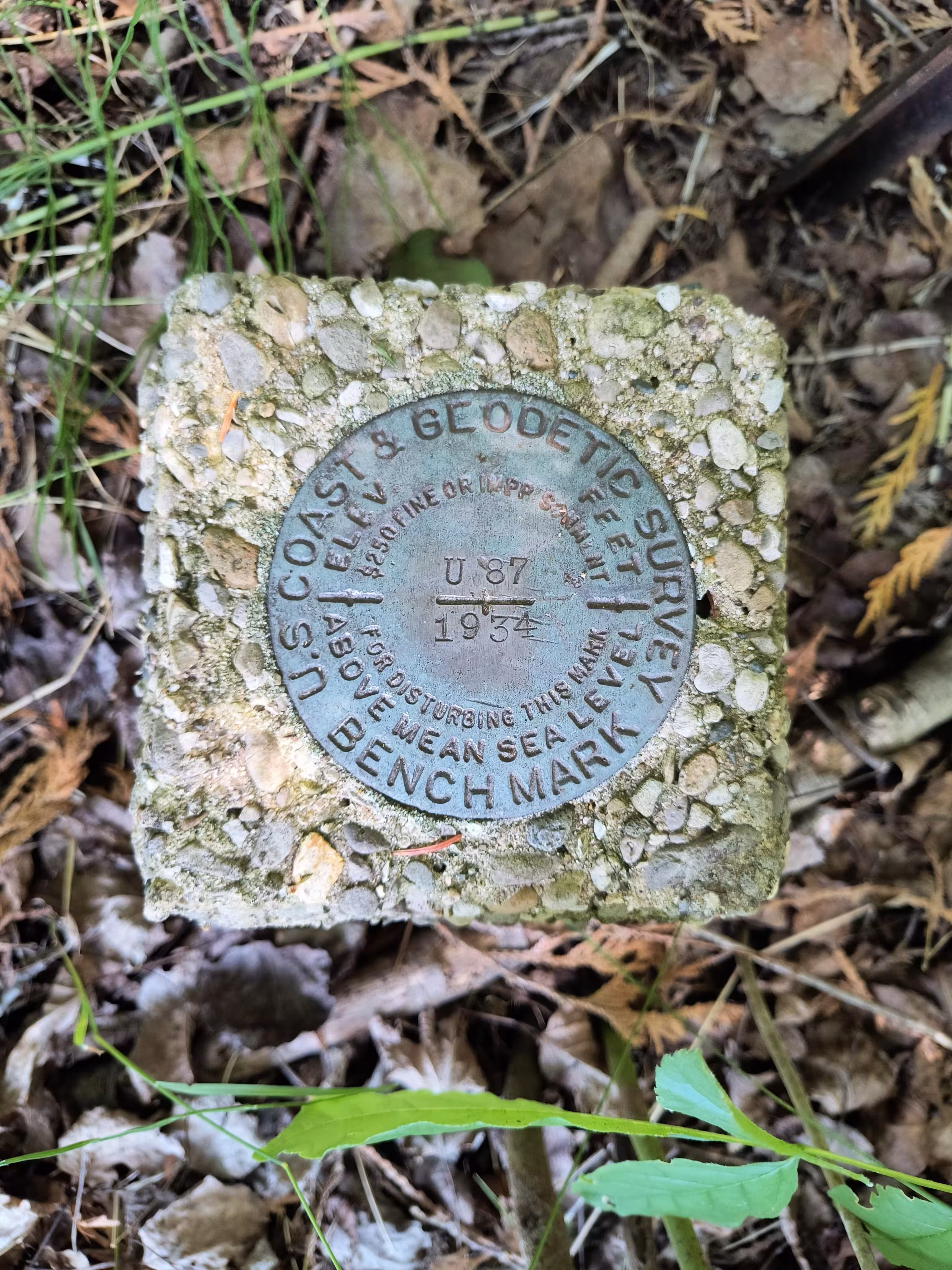
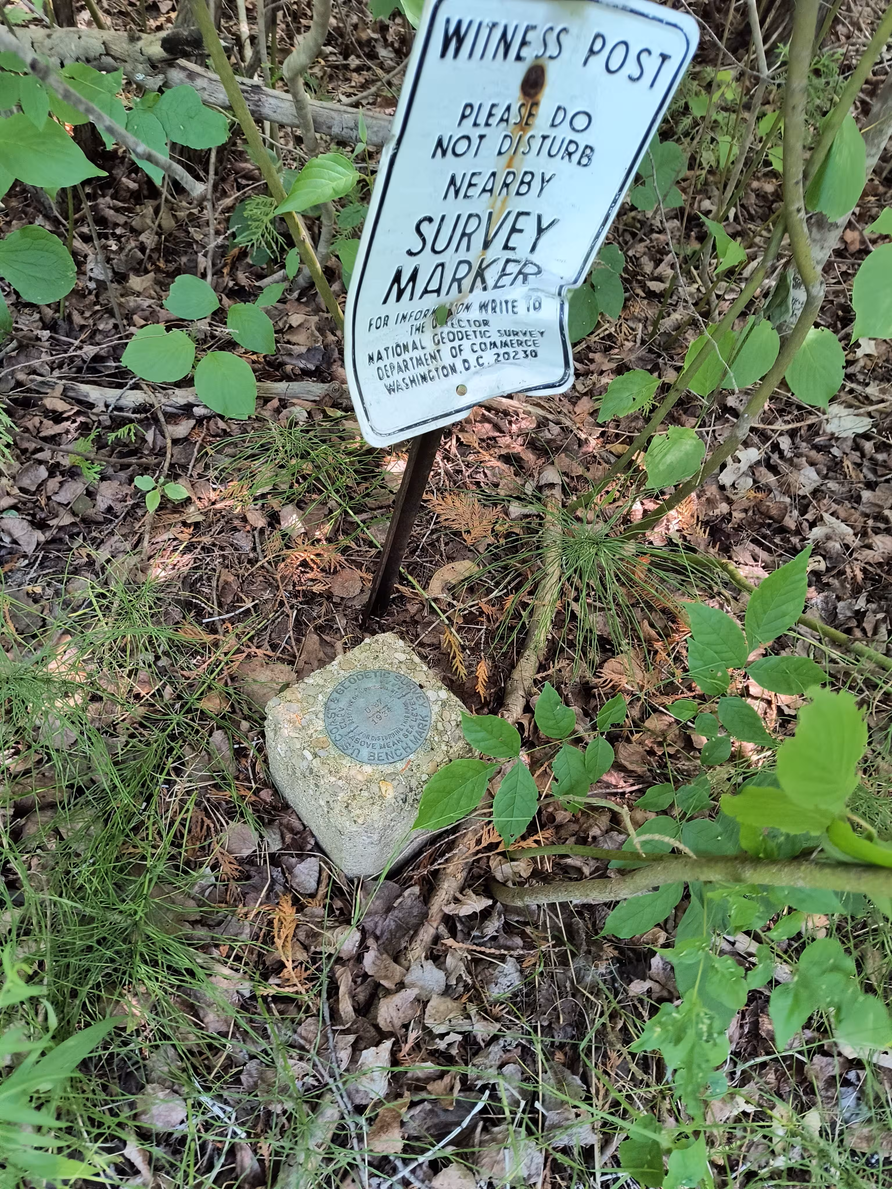
"U 87"
| NGS PointID: | QK0332 |
| Condition: | Ware and very few deep scratches |
| Stamping: | U 87 1934 |
| Coordinates: | 45.035308, -85.600642 |
| Elevation: | 615.942 ft (187.739 m) |
| Setting: | Square concrete post. |
| Monumentor: | USC&GS |
Datasheet Description:
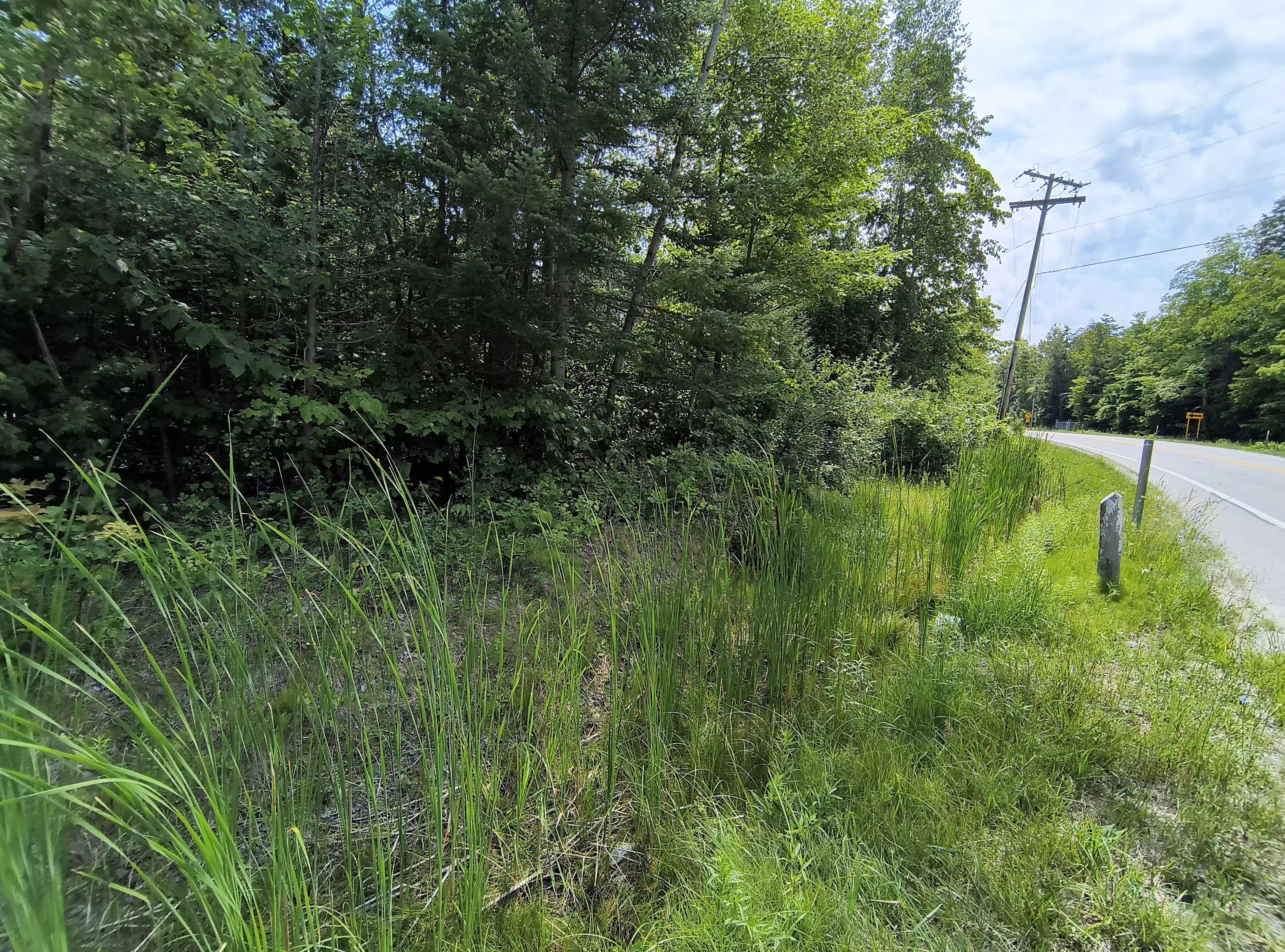
5.2 mi N from Suttons Bay.
5.2 miles north along the Manistee and Northeastern Railway from the station at Suttons Bay, Leelanau County, 1.5 miles south of Omena, 13 yards southeast of the center of the crossing of State Highway 22, 9-1/2 yards east of the east rail, 15 yards south of the centerline of the highway, 1 yard south of telephone pole 859, and about 1 foot higher than the rail. A standard disk, stamped U 87 1934 and set in the top of a concrete post projecting about 1 foot above ground.
"U 87" is a benchmark monumented by the USC&GS in 1934 located in Leelanau County, Michigan.
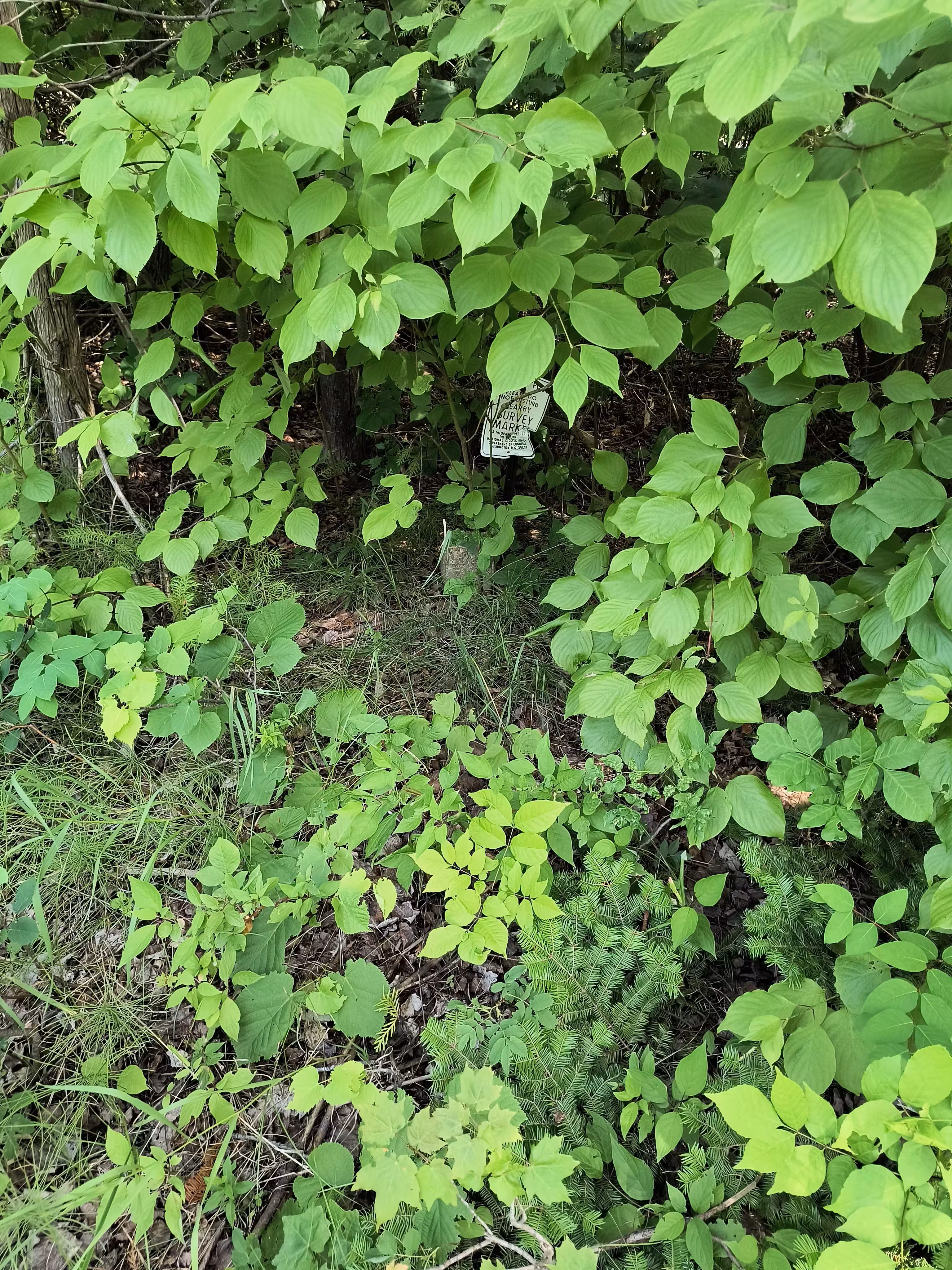
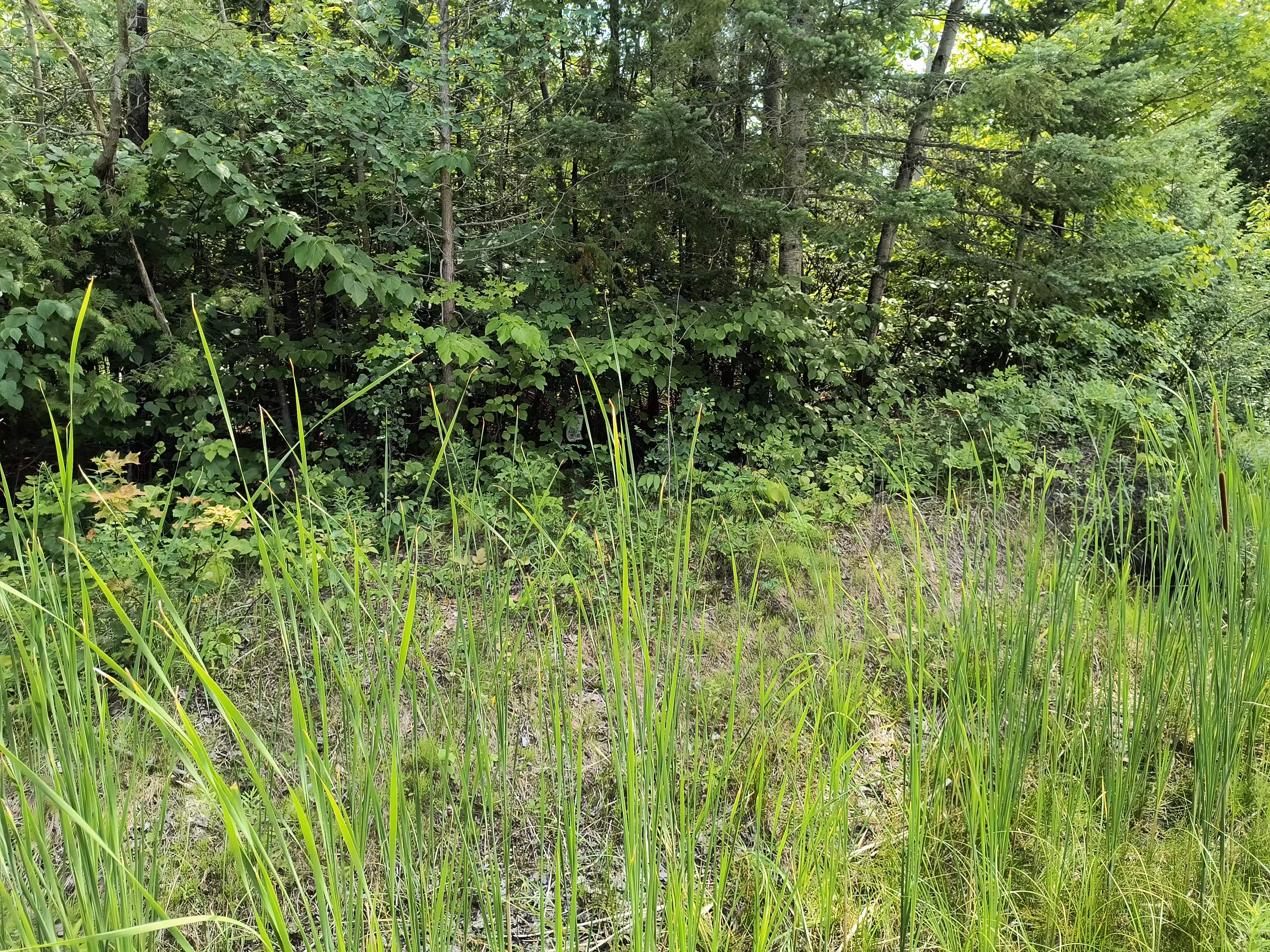
The mark is visible from the road during winter (no snow) and if you can't see it then follow the original description making note that the railroad is now a cut in the trees.