|
|
Main benchmarks recovered in good or poor condition. |
|
|
Main benchmarks that have been destroyed. |
|
|
Reference benchmarks recovered in good or poor condition. |
|
|
Reference benchmarks that have been destroyed. |
|
|
Azimuth benchmarks recovered in good or poor condition. |
|
|
Azimuth benchmarks that have been destroyed. |
|
|
A main, reference, or azimuth benchmark not searched for. |
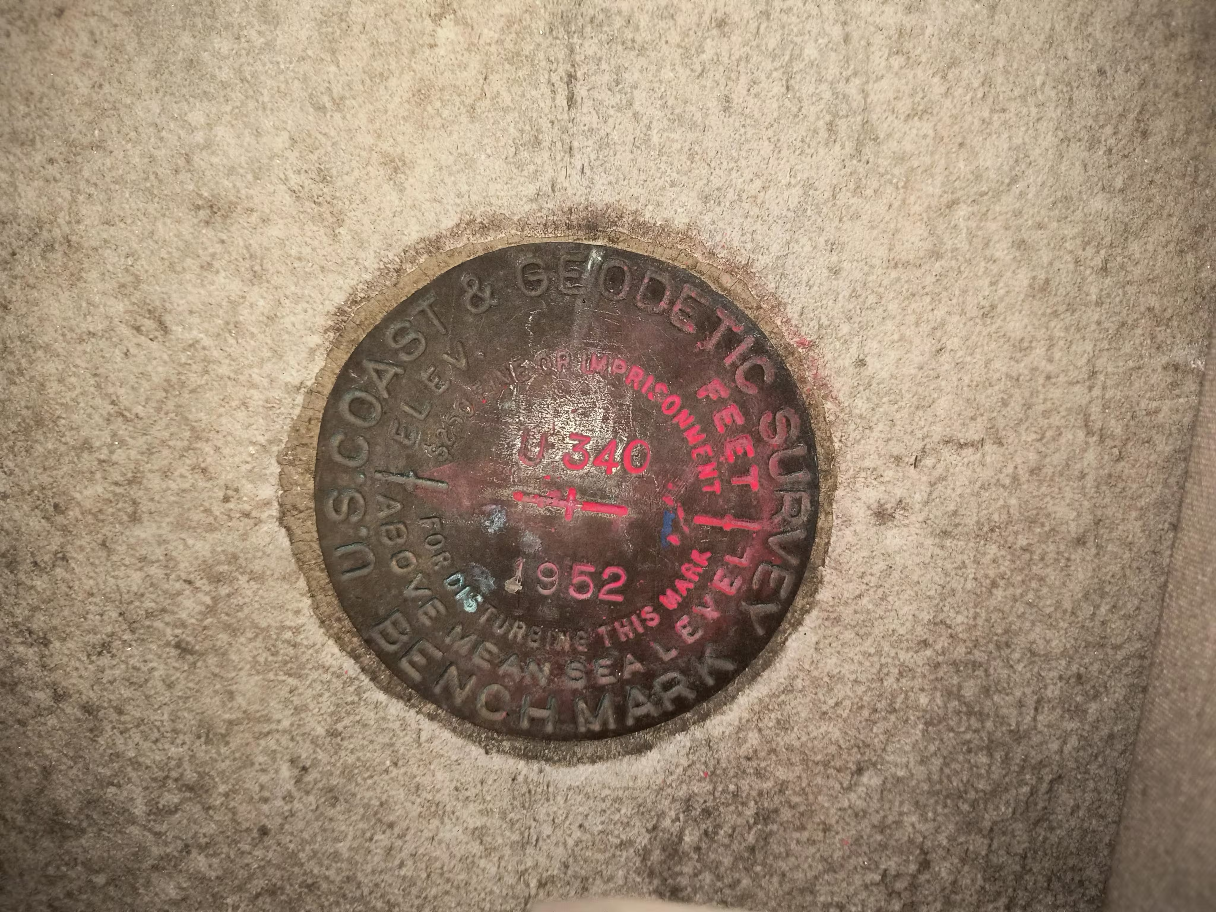
"U 340"
| NGS PointID: | KV0986 |
| Condition: | Worn |
| Stamping: | U 340 1952 |
| Coordinates: | 40.7538619, -73.9823431 |
| Elevation: | 76.129 ft (23.204 m) |
| Setting: | Vertically in building. |
| Monumentor: | USC&GS |
Datasheet Description:
At New York.
At New York, in borough, near intersection of 5th avenue and west 42nd street, about 131 yards northwest of northwest curb of the avenue, 17 yards southwest of southwest curb of west 42nd street, set vertically in the northwest face at north corner of New York Public Library, 1.6 feet southwest of north corner of building and about 3 feet above ground.
"U 340" is a benchmark monumented by the USC&GS in 1952 located in New York County, New York.
Description is still good. At north corner of the library on west wall. It is right behind a plant in a planter.
