|
|
Main benchmarks recovered in good or poor condition. |
|
|
Main benchmarks that have been destroyed. |
|
|
Reference benchmarks recovered in good or poor condition. |
|
|
Reference benchmarks that have been destroyed. |
|
|
Azimuth benchmarks recovered in good or poor condition. |
|
|
Azimuth benchmarks that have been destroyed. |
|
|
A main, reference, or azimuth benchmark not searched for. |
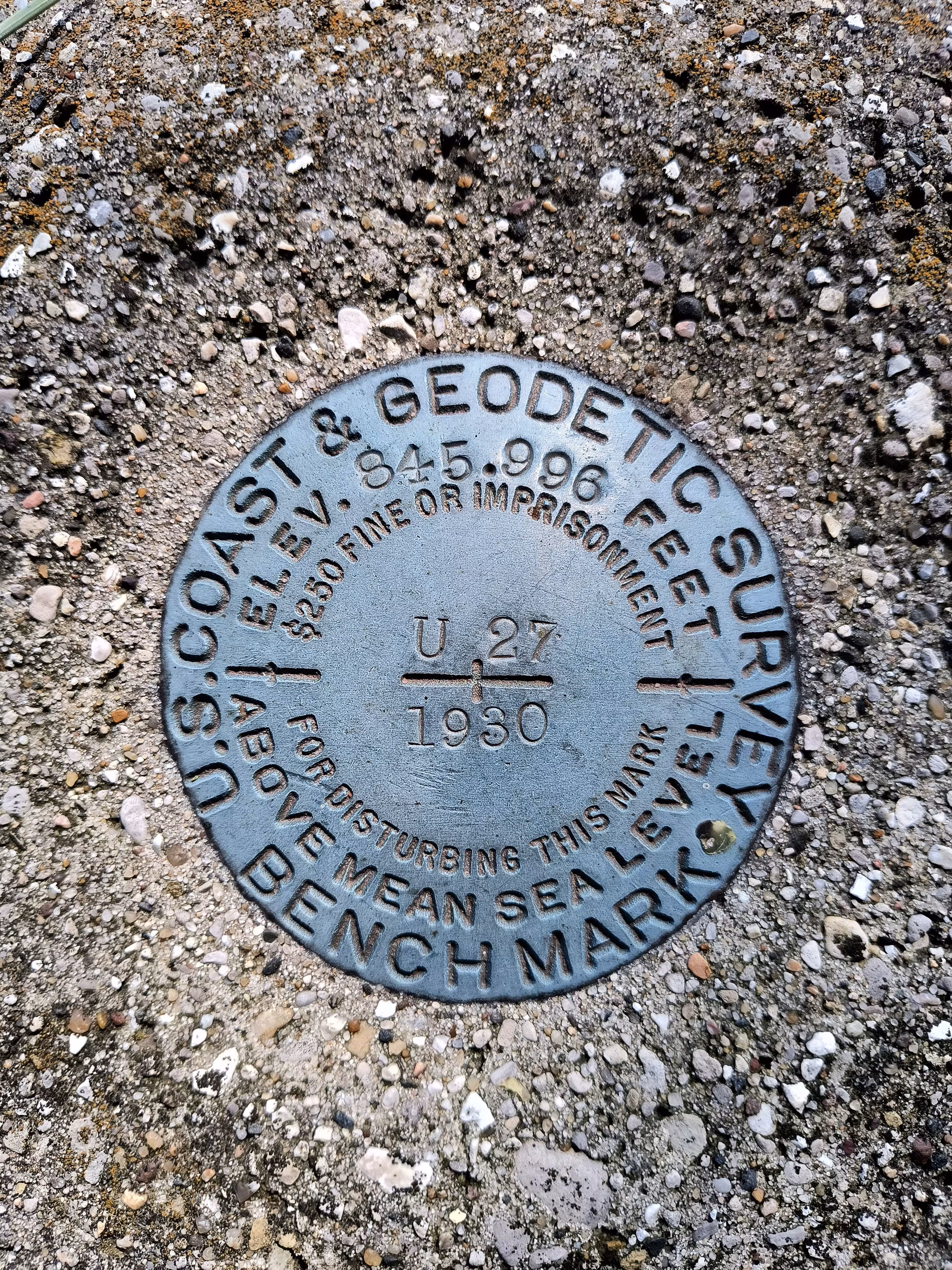
"U 27"
| NGS PointID | PL0313 |
| Reference Benchmarks: | None |
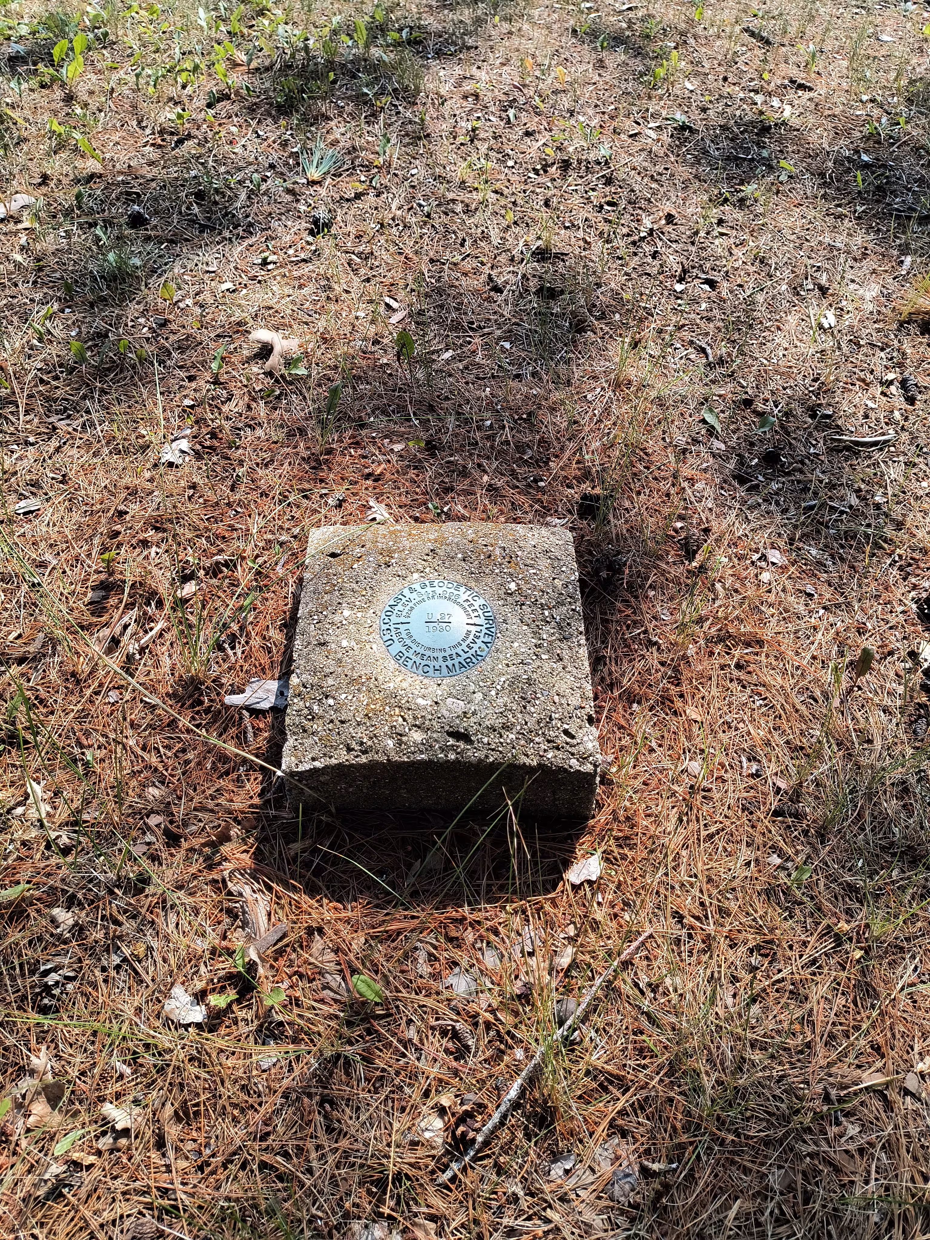
| Condition: | Ware with minor scratches. |
| Stamping: | 845.996 U 27 1930 |
| Coordinates: | 44.6503, -85.7683 |
| Elevation: | 863.983 ft (263.342 m) |
| Setting: | Square concrete post |
| Monumentor: | USC&GS |
Datasheet Description:
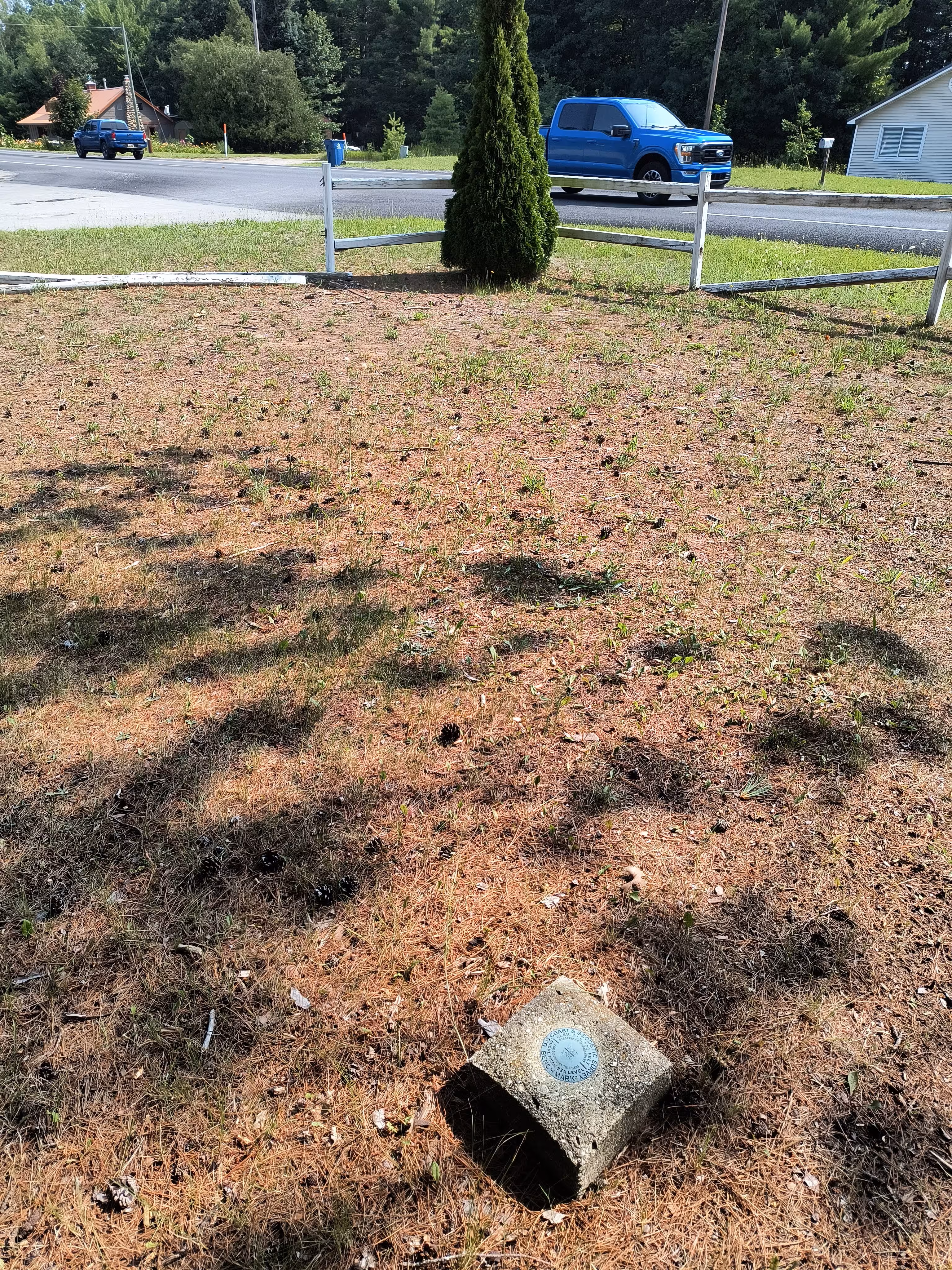
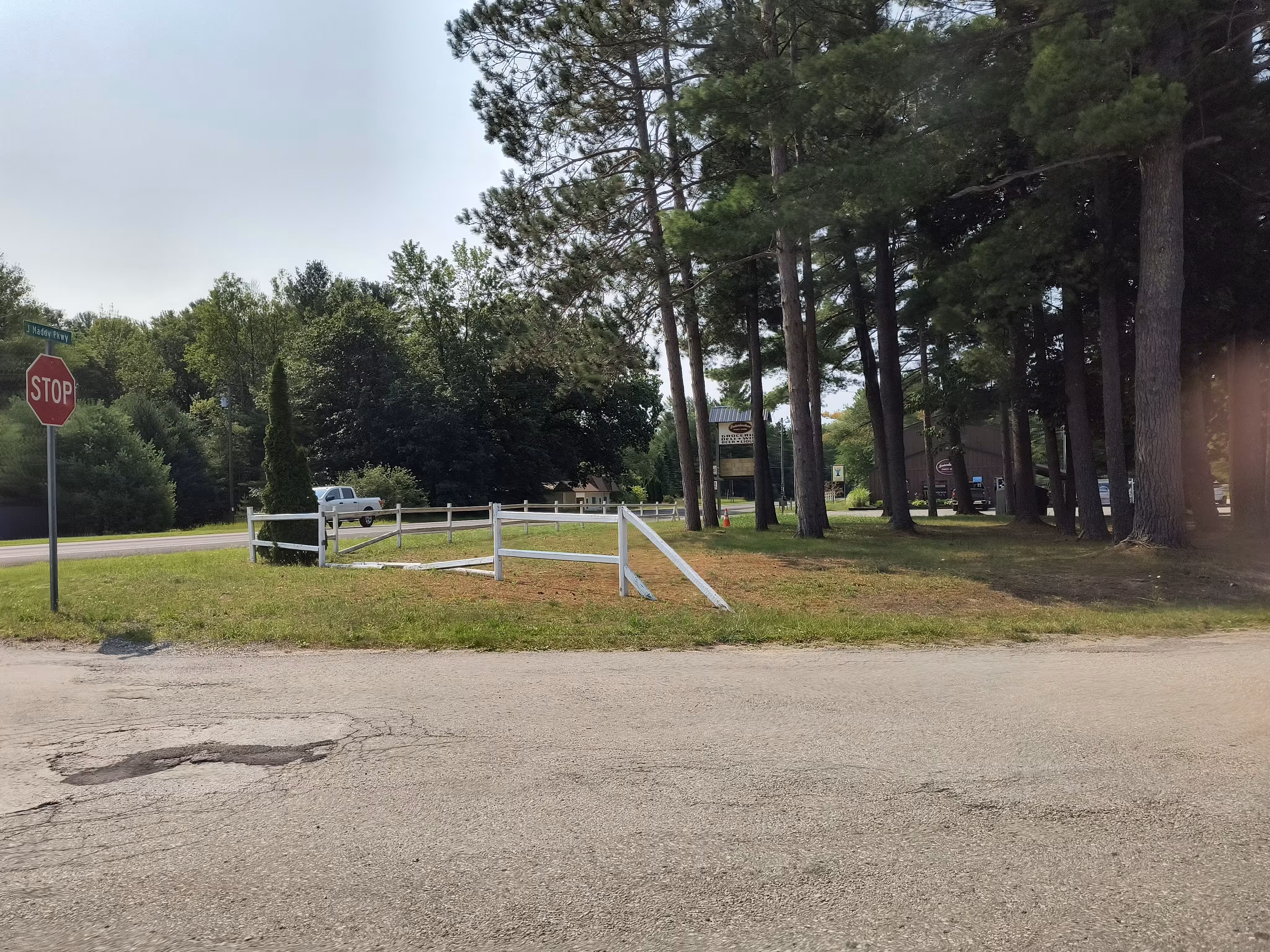
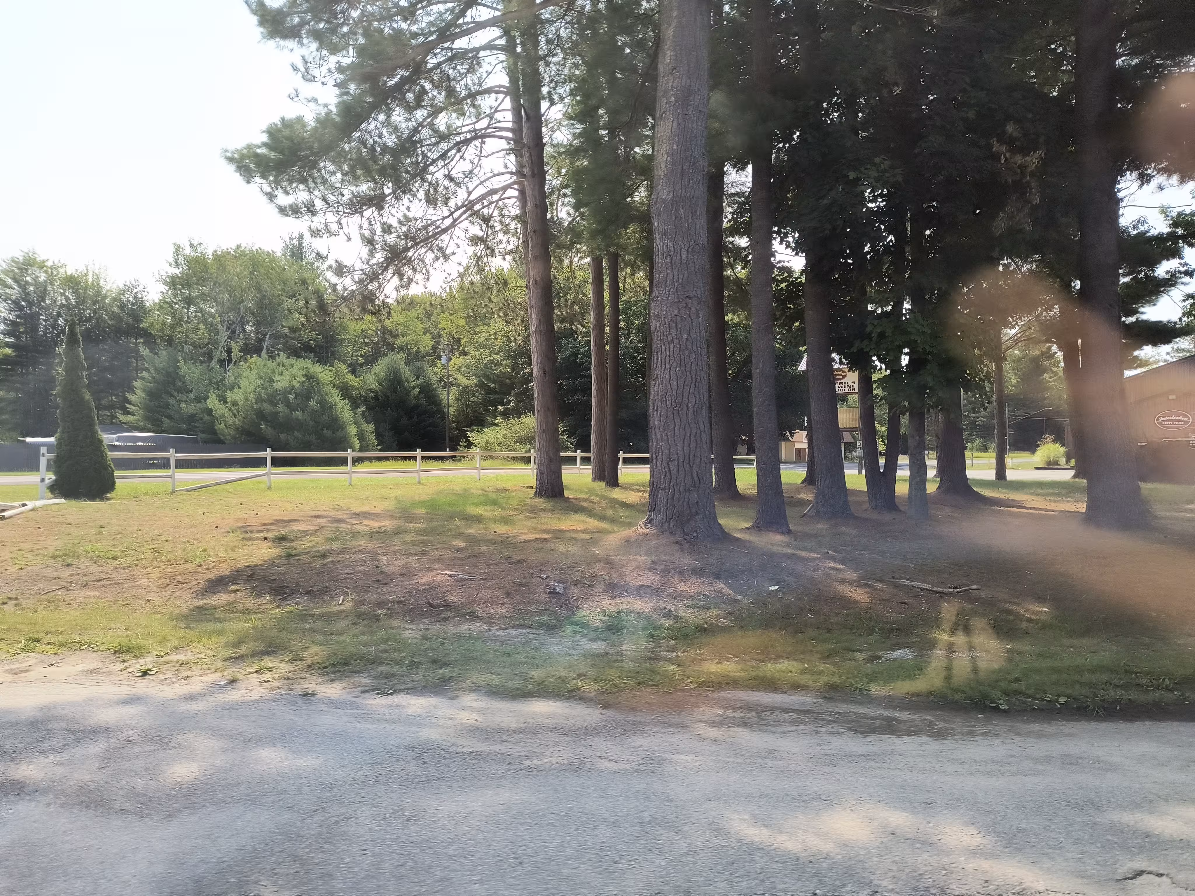
At Interlochen.
At Interlochen, 122 feet south of the junction of the abandoned branch of the Manistee and Northeastern Railroad and the C and O Railway, 61.4 feet west of the centerline of State Highway 137, and 24 feet east of the centerline of the roadbed. A standard disk, stamped 845.996 U 27 1930 and set in the top of a concrete post projecting 6 inches above ground.
"U 27" is a benchmark monumented by the USC&GS in 1930 located in Grand Traverse County, Michigan.
The mark is in a grassy lot with several grown pine trees. The mark is at the northeast edge of the trees. It is approximately 60 feet south of the edge of S Railroad Street, about 55 feet west of the centerline of the road, about 100 feet east of the centerline of Depot Road, and about 70 feet north of the edge of the parking area for the Interlochen Party Store at 2614 Michigan 137, Interlochen, MI 49643.