|
|
Main benchmarks recovered in good or poor condition. |
|
|
Main benchmarks that have been destroyed. |
|
|
Reference benchmarks recovered in good or poor condition. |
|
|
Reference benchmarks that have been destroyed. |
|
|
Azimuth benchmarks recovered in good or poor condition. |
|
|
Azimuth benchmarks that have been destroyed. |
|
|
A main, reference, or azimuth benchmark not searched for. |
"TIDAL 4"
| Condition: | Ware and scratches |
| Stamping: | YY 1958 TIDAL 4 |
| Coordinates: | 19.64006, -155.99681 |
| Elevation: | 6.63 ft (2.12 m) |
| Setting: | Concrete seawall. |
| Monumentor: | USGS |
"TIDAL 4" is a benchmark monumented by the USGS in 1958 located in Hawai'i County, Hawaii.
The benchmark is on the west end of the thick part of the seawall, above the tidal beach.
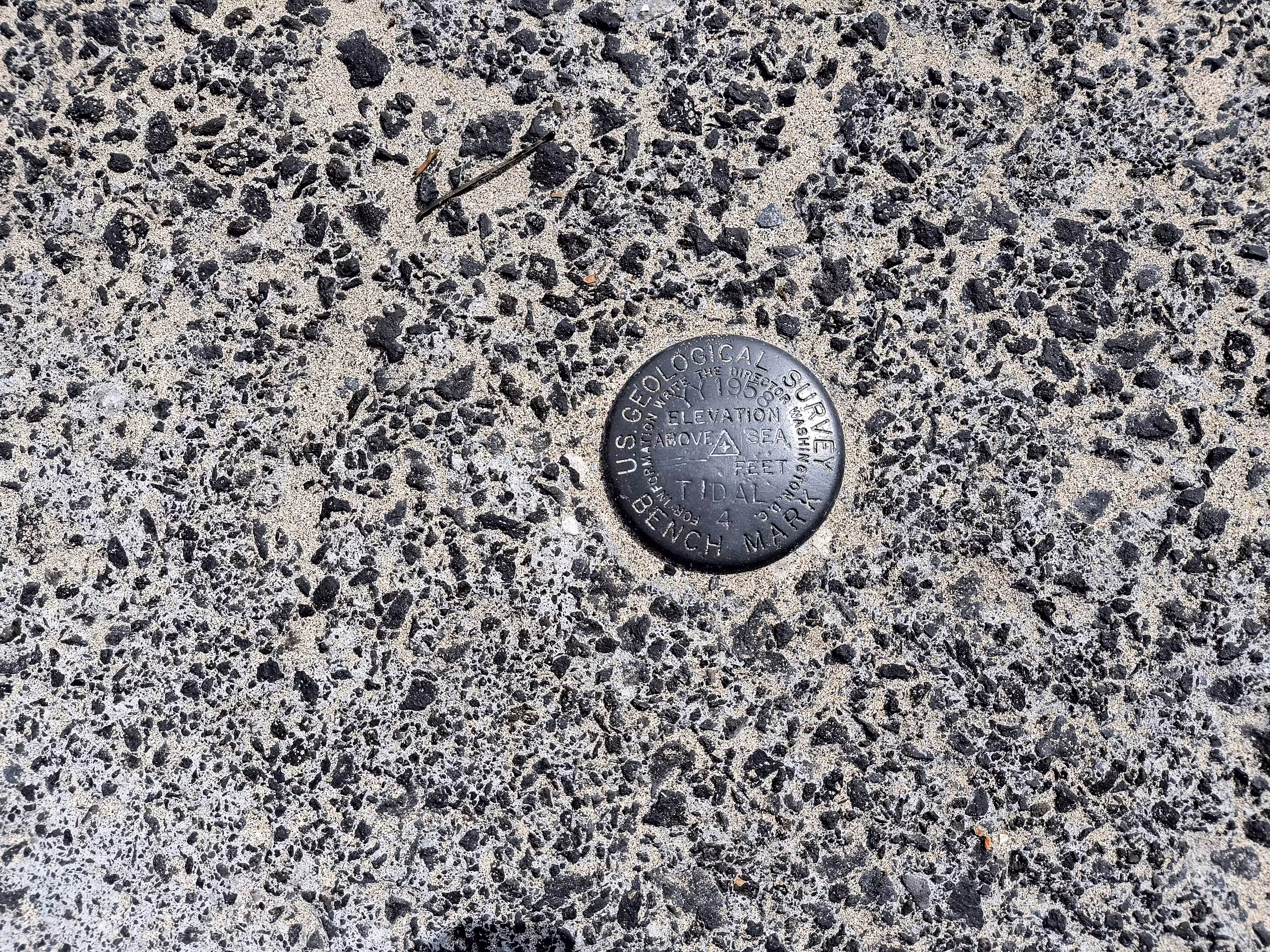
A closeup of TIDAL 4.
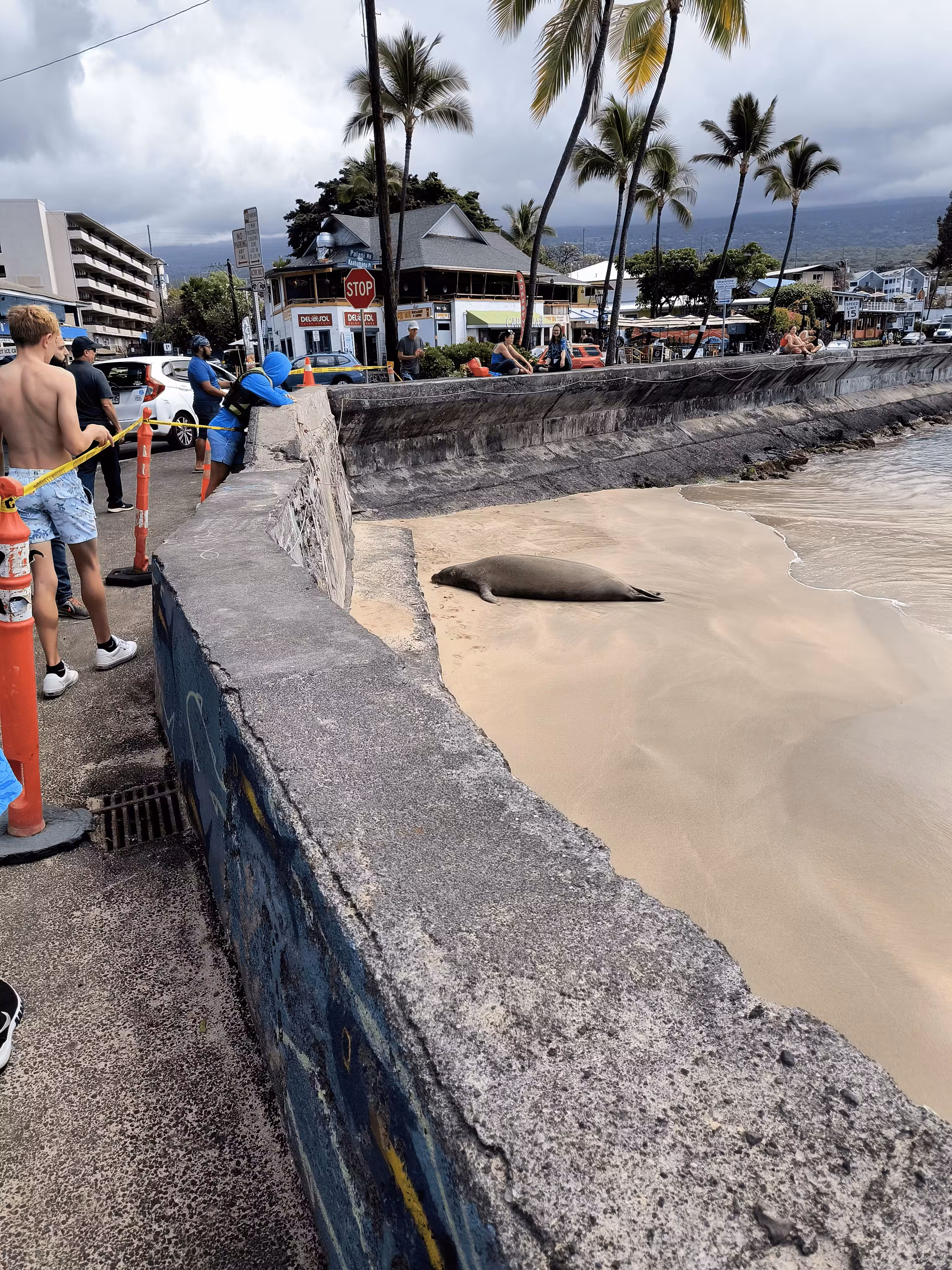
TIDAL 4 from the sidewalk to the southwest.

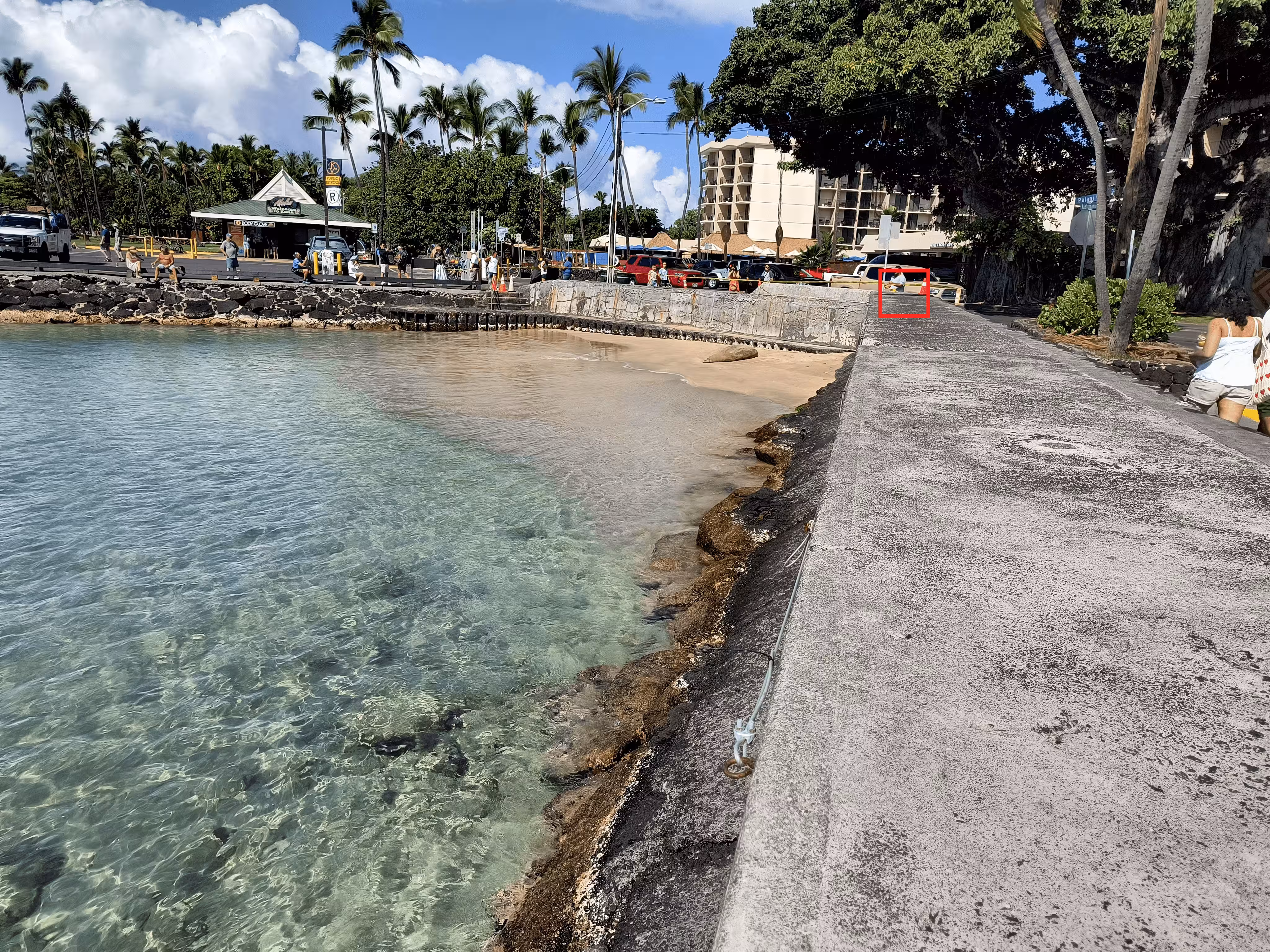
TIDAL 4 (in the red box) from the sidewalk to the southwest.

TIDAL 4 from the seawall to the east.
TIDAL 4 (in the red box) from the seawall to the east.
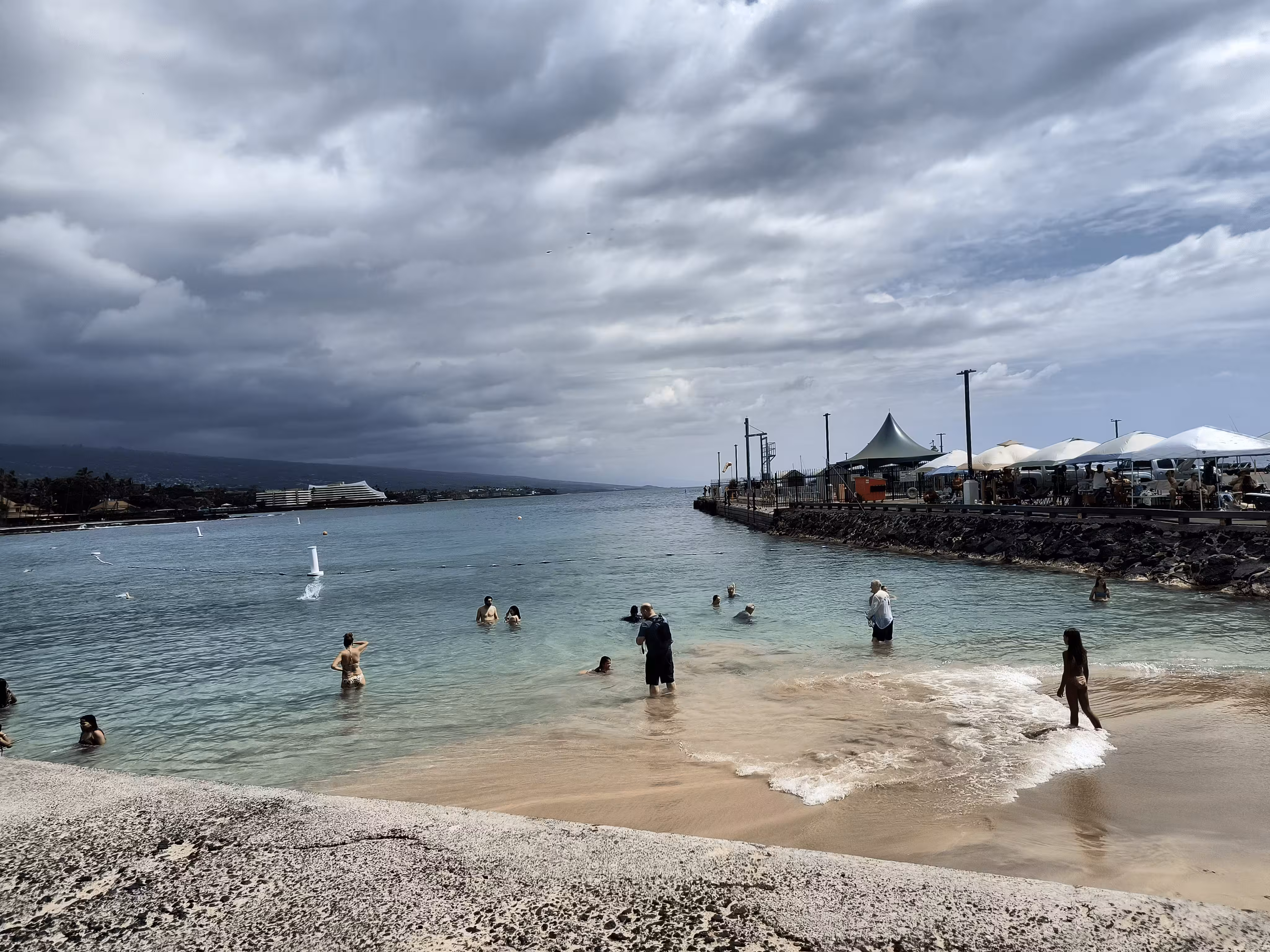
TIDAL 4 looking South, to sea.