|
|
Main benchmarks recovered in good or poor condition. |
|
|
Main benchmarks that have been destroyed. |
|
|
Reference benchmarks recovered in good or poor condition. |
|
|
Reference benchmarks that have been destroyed. |
|
|
Azimuth benchmarks recovered in good or poor condition. |
|
|
Azimuth benchmarks that have been destroyed. |
|
|
A main, reference, or azimuth benchmark not searched for. |
"T 87"
| NGS PointID: | QK0321 |
| Condition: | Heavy ware |
| Stamping: | T 87 1934 |
| Coordinates: | 45.000589, -85.633185 |
| Elevation: | 601.975 ft (183.482 m) |
| Setting: | Square concrete post. |
| Monumentor: | USC&GS |
Datasheet Description:
2.1 mi N from Suttons Bay.
2.1 miles north along the Nanistee and Northeastern Railway from the station at Suttons Bay, Leelanau County, 3 rails south of a cut, 23 yards northeast of the center of the crossing of State Highway 22, 22 yards east of the centerline of the highway, 12 yards east of the east rail, 15 yards northeast of telephone pole 762, and 3 yards west of a fence. A standard disk, stamped T 87 1934 and set in the top of a concrete post projecting 11 inches above ground.
"T 87" is a benchmark monumented by the USC&GS in 1934 located in Leelanau County, Michigan.
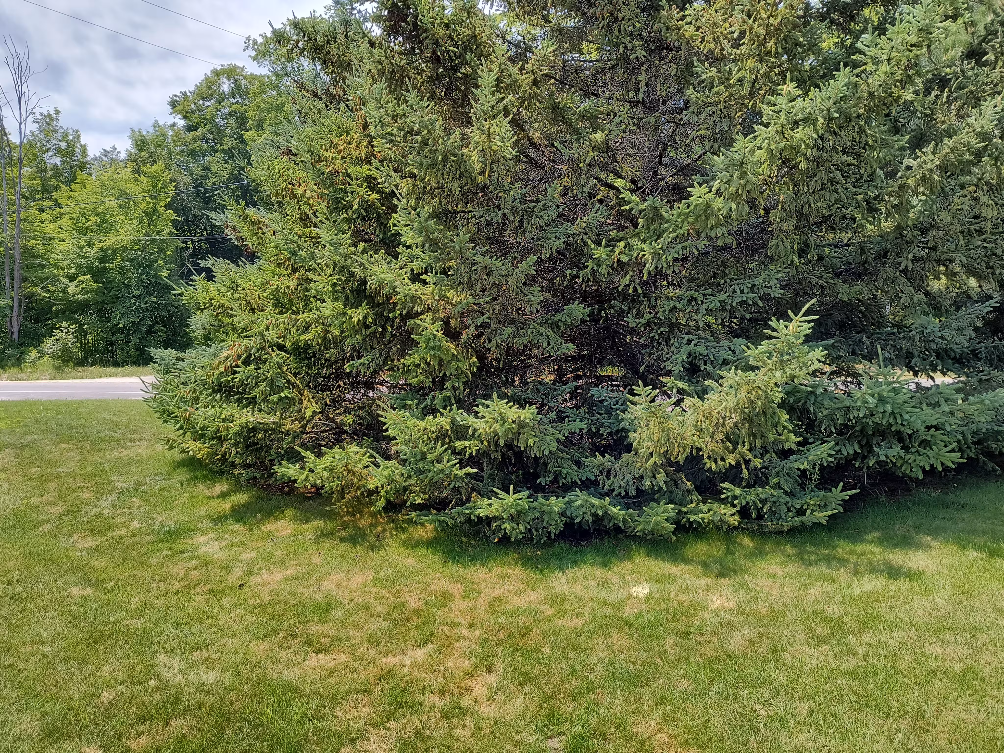
The benchmark is under the middle pine tree's canopy. The benchmark is about flush with the ground. The best way to find the mark is to travel parallel to the old railroad grade from the small corner/indent in the parking lot. You can view the grade on OpenStreetMap. You can also just follow the street parallel.