|
|
Main benchmarks recovered in good or poor condition. |
|
|
Main benchmarks that have been destroyed. |
|
|
Reference benchmarks recovered in good or poor condition. |
|
|
Reference benchmarks that have been destroyed. |
|
|
Azimuth benchmarks recovered in good or poor condition. |
|
|
Azimuth benchmarks that have been destroyed. |
|
|
A main, reference, or azimuth benchmark not searched for. |
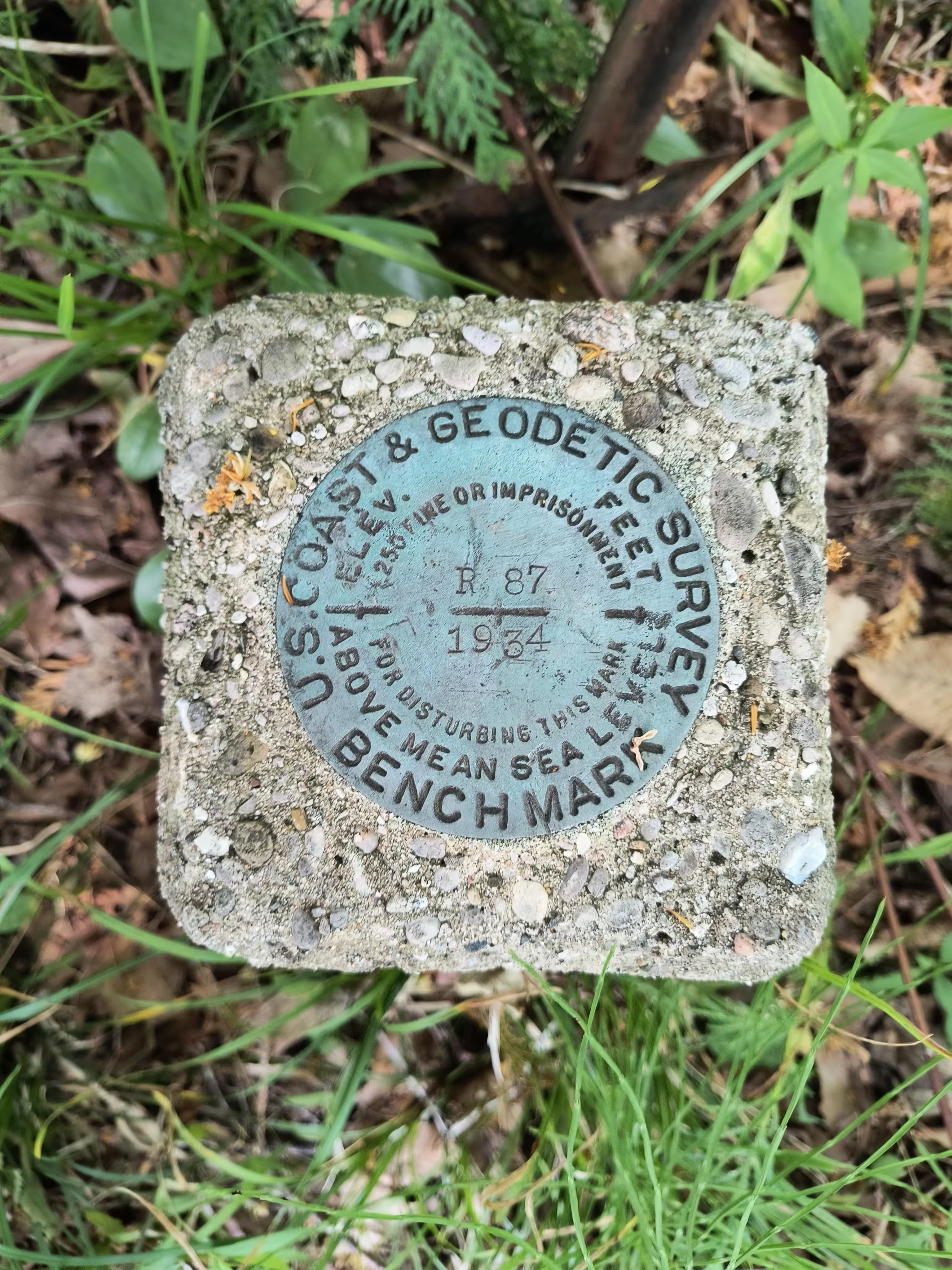
"R 87"
| NGS PointID | PL0292 |
| Reference Benchmarks: | None |
| Condition: | Gashes and ware present. |
| Stamping: | R 87 1934 |
| Coordinates: | 44.9496, -85.6477 |
| Elevation: | 648.908 ft (197.787 m) |
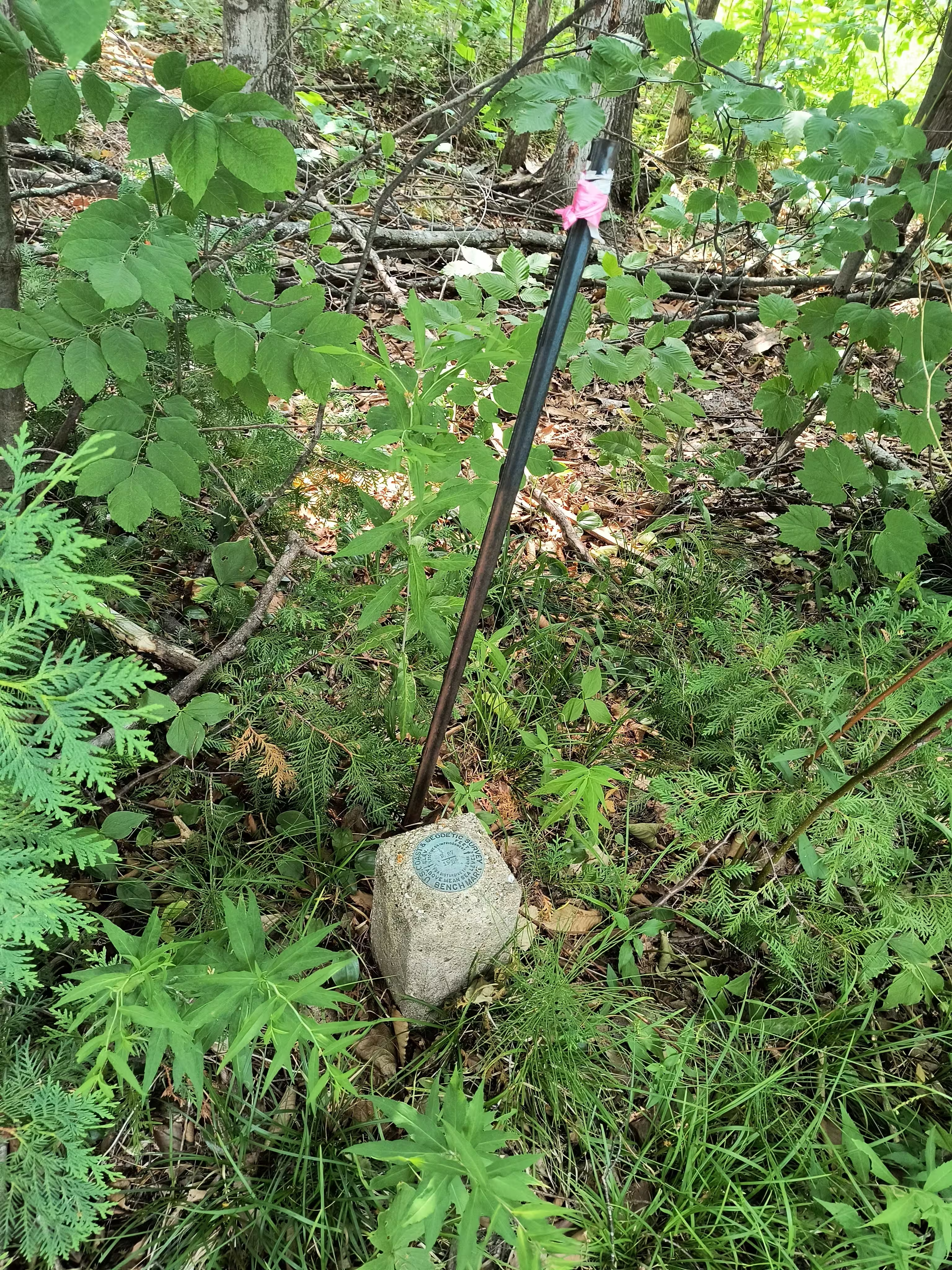
| Setting: | Square concrete post |
| Monumentor: | USC&GS |
Datasheet Description:
1.6 mi S from Suttons Bay.
1.6 miles south along the Manistee and Northeastern Railway from the station at Suttons Bay, 36 rails north of a bridge at the center of a large fill, 35 rails north of a two-story farmhouse, 12 yards east of the east rail at the center of a dirt-road crossing, 11 yards southeast of the centerline of the dirt road, 1-1/2 yards south of a telephone pole, 3 yards west of a fence, and about 1 foot higher than the rail. A standard disk, stamped R 87 1934 and set in the top of a concrete post projecting 1 foot above ground.
"R 87" is a benchmark monumented by the USC&GS in 1934 located in Leelanau County, Michigan.
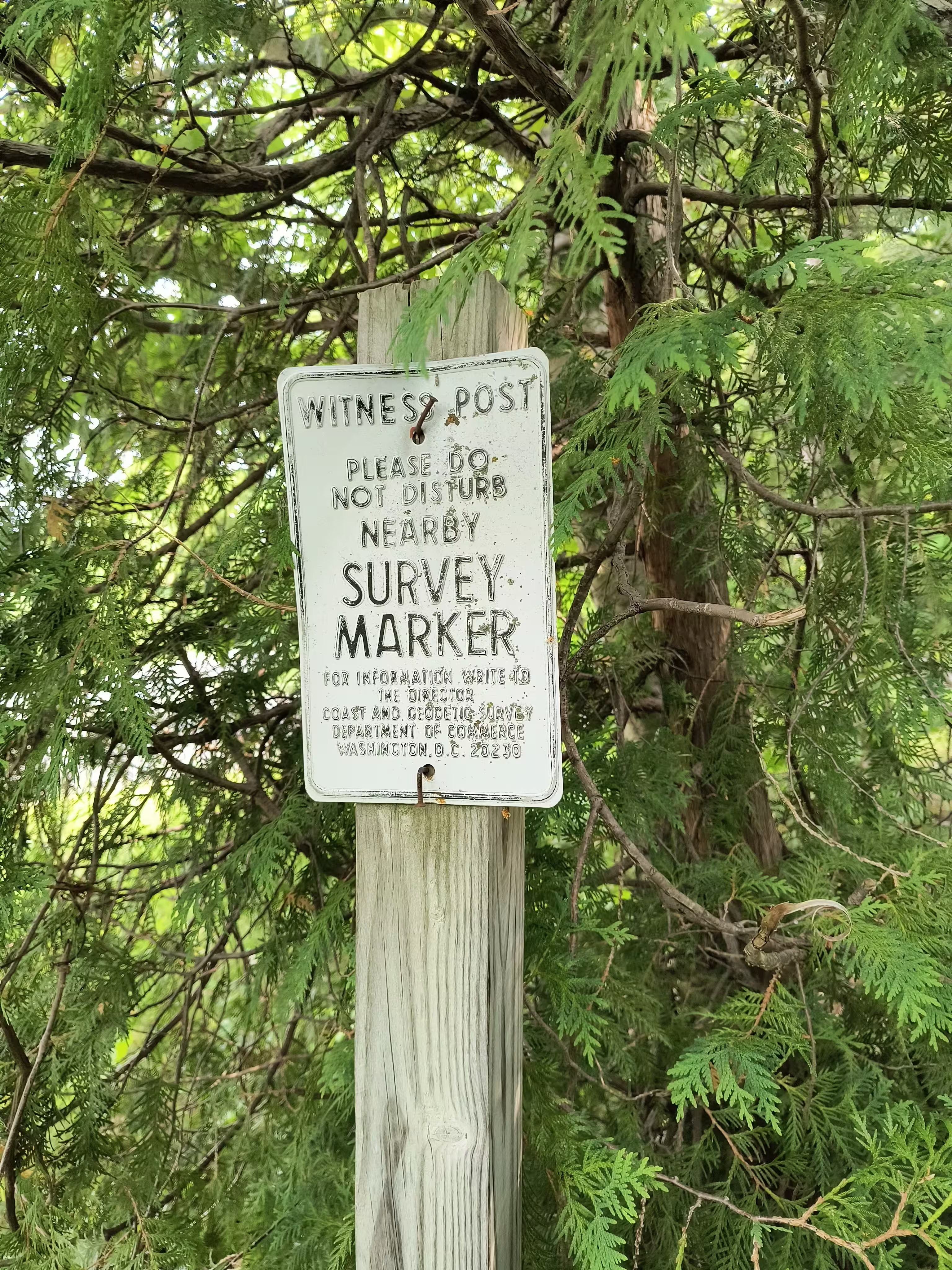
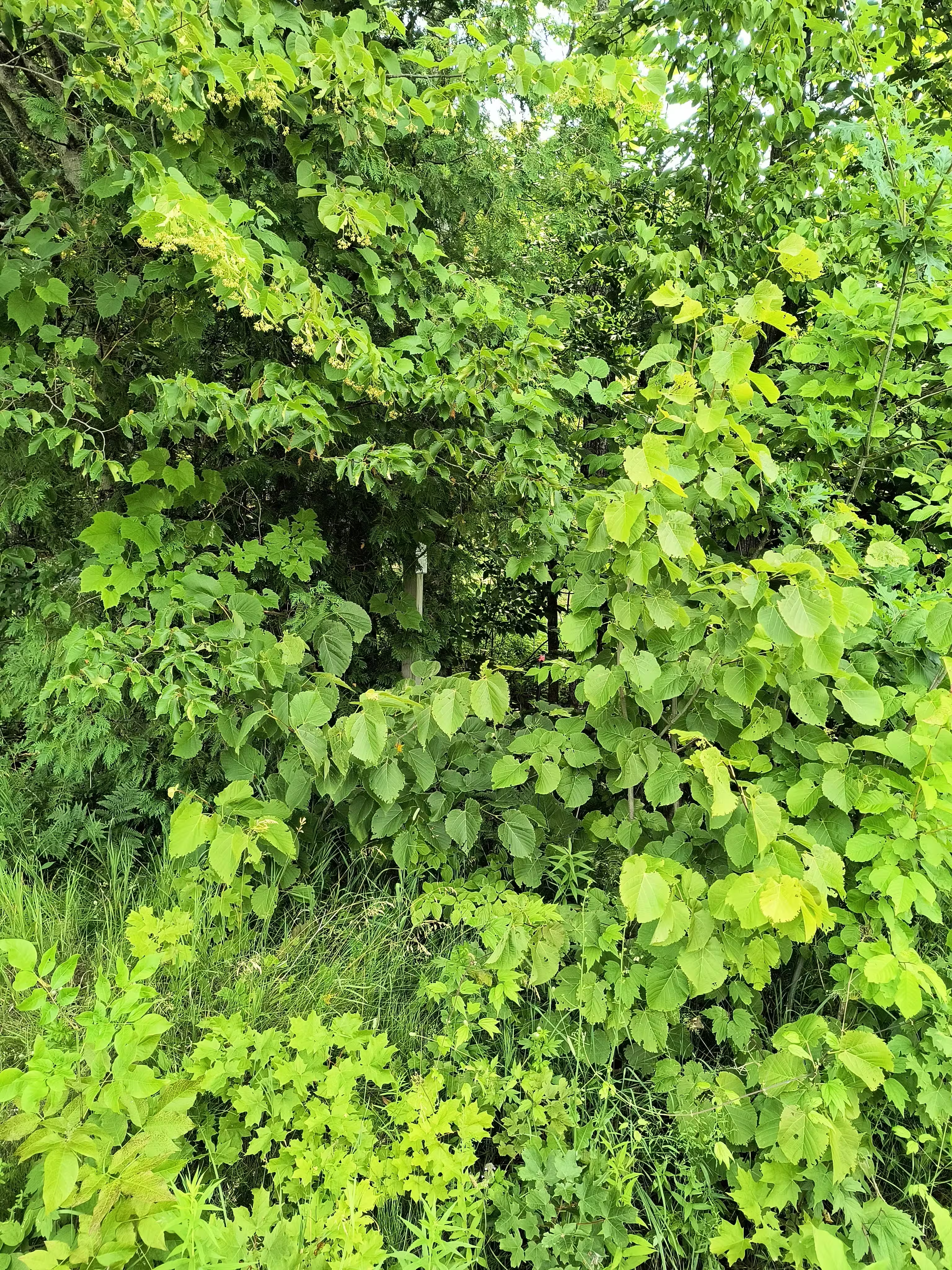
The mark is in the trees. Look for the white witness post on a large wooden (vertical) log.


