|
|
Main benchmarks recovered in good or poor condition. |
|
|
Main benchmarks that have been destroyed. |
|
|
Reference benchmarks recovered in good or poor condition. |
|
|
Reference benchmarks that have been destroyed. |
|
|
Azimuth benchmarks recovered in good or poor condition. |
|
|
Azimuth benchmarks that have been destroyed. |
|
|
A main, reference, or azimuth benchmark not searched for. |
"Q 27"
| NGS PointID | PL0309 |
| Reference Benchmarks: | None |
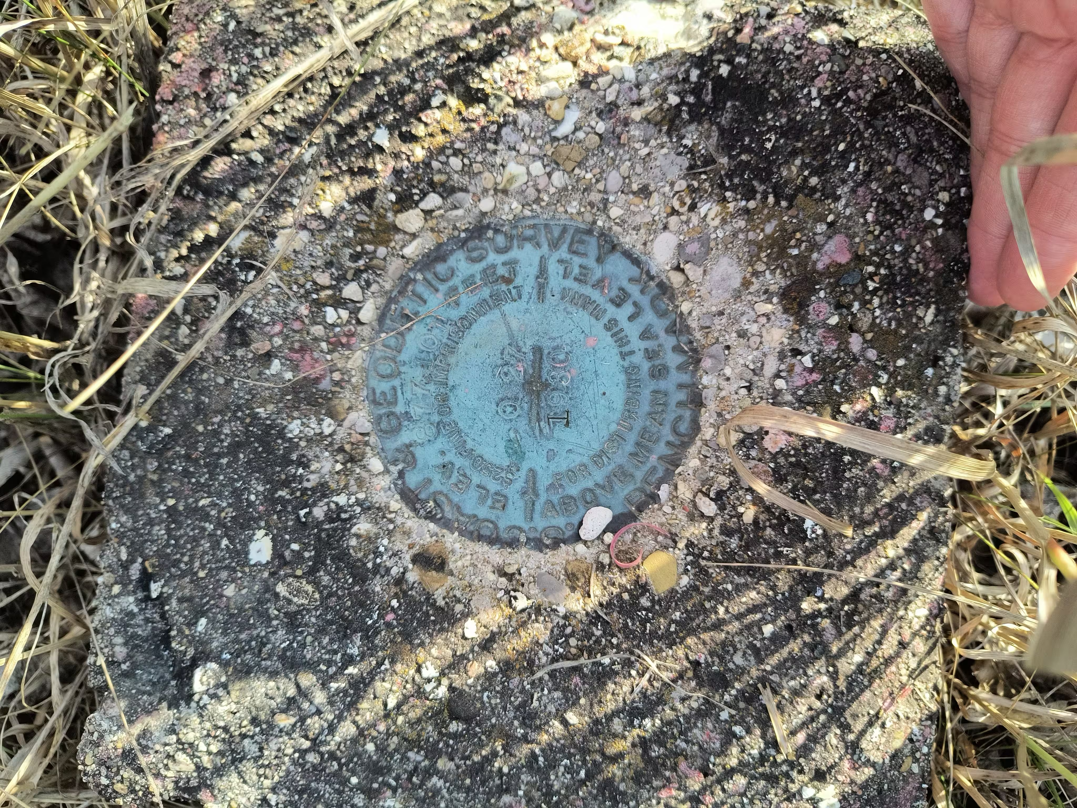
| Condition: | Scratches and ware present. |
| Stamping: | 877.101 Q 27 1930 |
| Coordinates: | 44.55138, -85.82214 |
| Elevation: | 876.870 ft (267.270 m) |
| Setting: | Square concrete post |
| Monumentor: | USC&GS |
Datasheet Description:
2.7 mi SW from Karlin.
2.7 miles southwest along the abandoned Manistee and Northern Railroad from Karlin, about 0.4 mile south of the NE Cor. of Sec. 24, T. 25 N., R. 13 W., 1/4 mile northeast of a white farmhouse, 14 yards west of the center of a north-and-south sandy road crossing, 12 yards northwest of the centerline of a northeast-and-southwest road, and 38 feet southeast of the centerline of the roadbed. A standard disk, stamped 877.101 Q 27 1930 and set in the top of a concrete post projecting 9 inches above ground.
"Q 27" is a benchmark monumented by the USC&GS in 1930 located in Benzie County, Michigan.
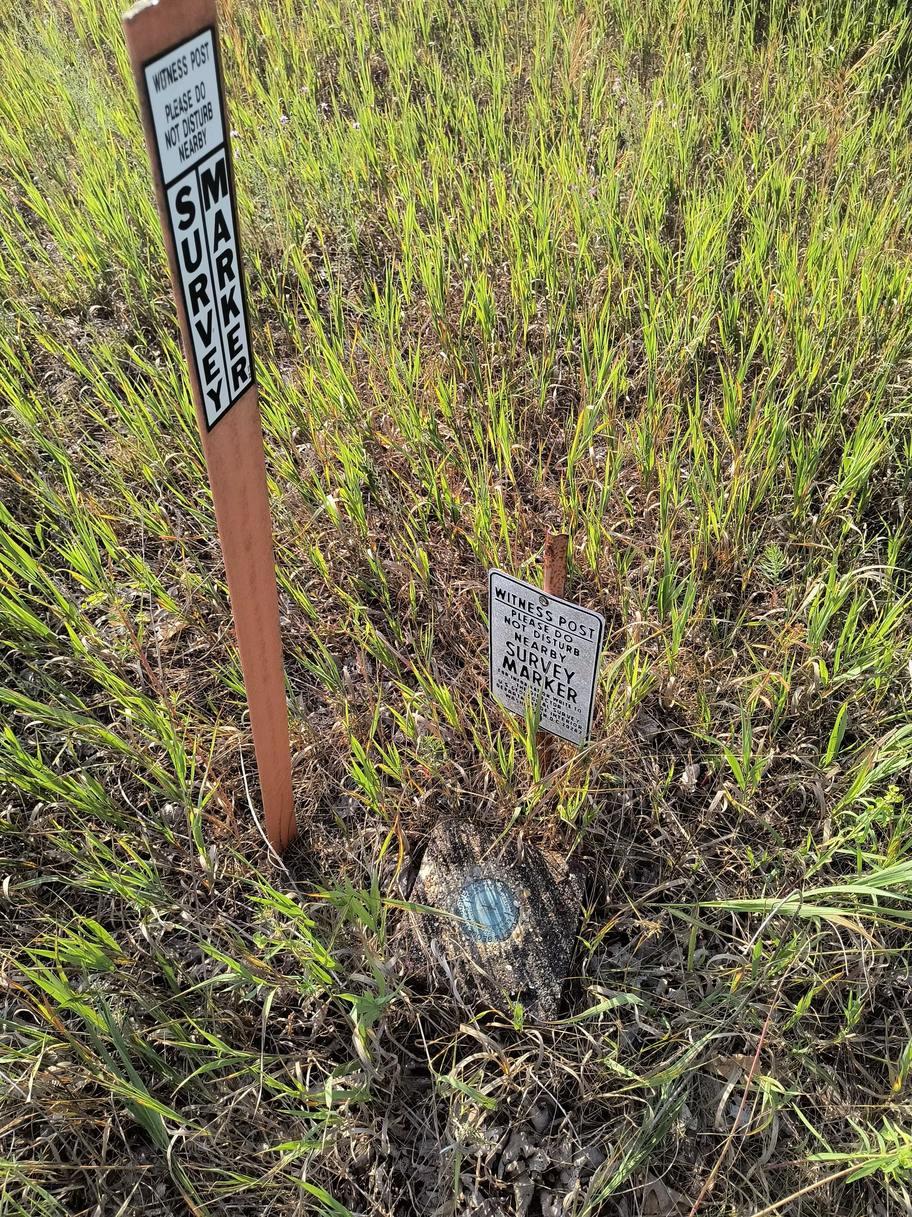
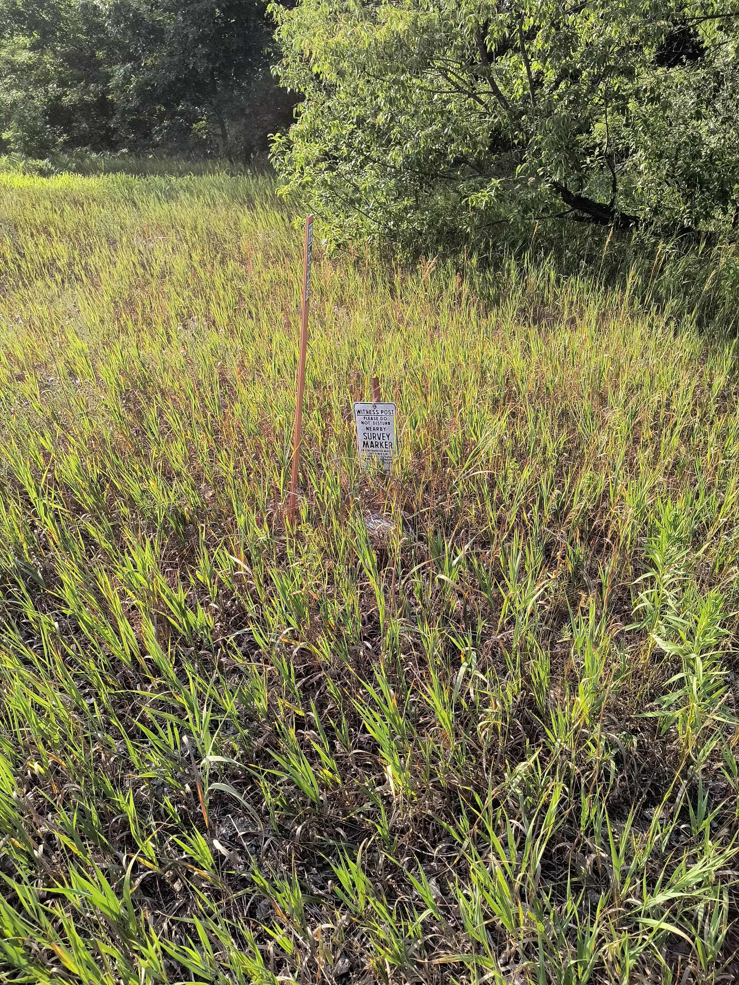
The mark is next to a traditional witness post at ground level and a newer NOAA fiberglass orange post.


