|
|
Main benchmarks recovered in good or poor condition. |
|
|
Main benchmarks that have been destroyed. |
|
|
Reference benchmarks recovered in good or poor condition. |
|
|
Reference benchmarks that have been destroyed. |
|
|
Azimuth benchmarks recovered in good or poor condition. |
|
|
Azimuth benchmarks that have been destroyed. |
|
|
A main, reference, or azimuth benchmark not searched for. |
"Q 19"
| NGS PointID: | CZ0127 |
| Reference Benchmarks: | None |
| Azimuth Benchmark: | None |
| Condition: | Destroyed |
| Stamping: | Q 19 1933 |
| Coordinates: | 32.326989, -110.976028 |
| Elevation: | 2509.988 ft (765.044 m) |
| Setting: | Destroyed |
| Monumentor: | USC&GS |
Datasheet Description:
7.7 miles north along U.S. Highway 80 from the post office at Tucson, Pima County, 2.3 miles north of the steel-truss bridge over Rillito Creek, at the junction of Los Altos Road, 30 feet north of the centerline of the road, and 40 feet west of the centerline of the highway. A standard disk, stamped 2509.988 Q 19 1933 and set in the top of a concrete post projecting 8 inches above ground.
"Q 19" has been destroyed.
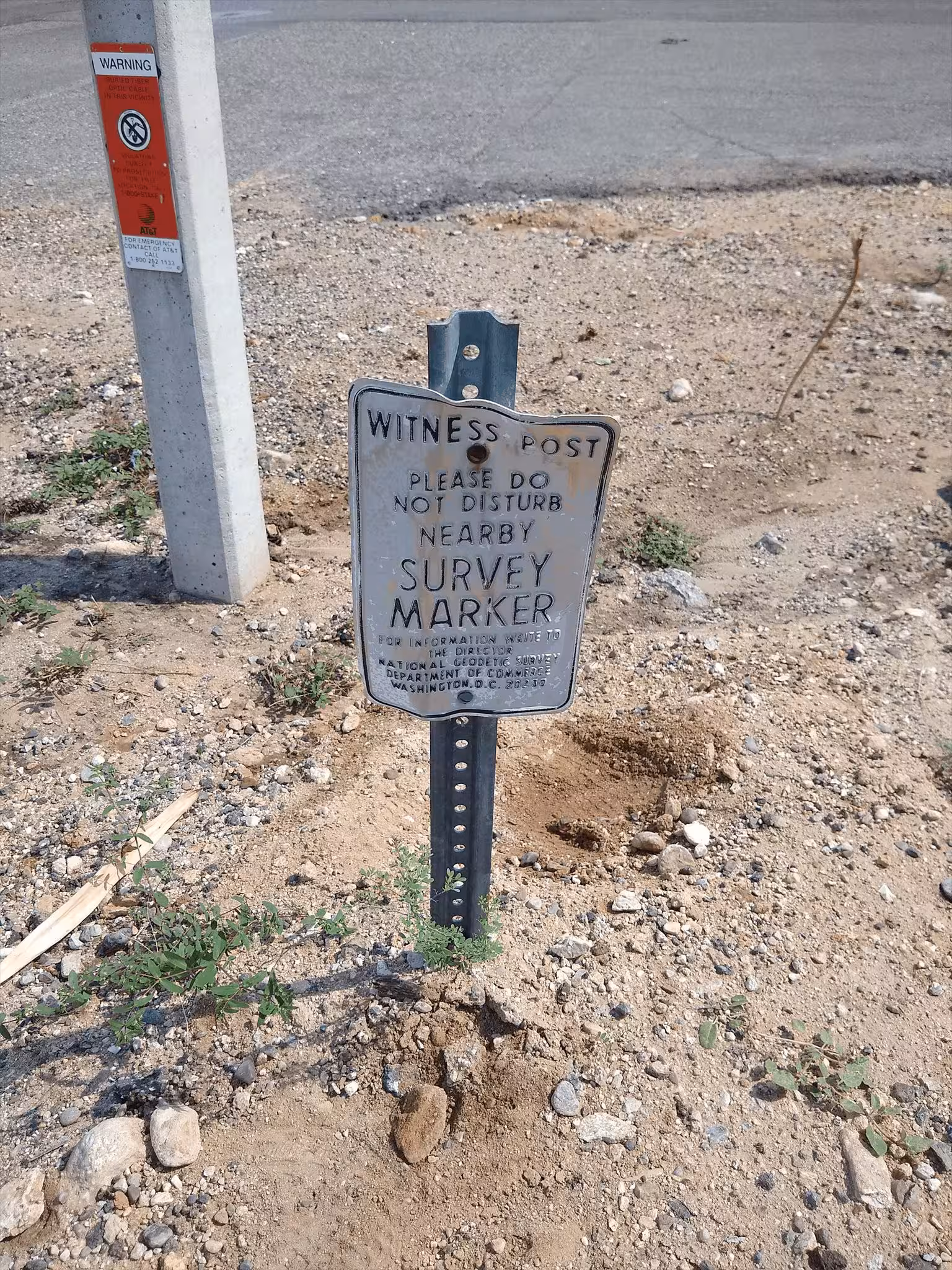
The witness post where the benchmark was.