|
|
Main benchmarks recovered in good or poor condition. |
|
|
Main benchmarks that have been destroyed. |
|
|
Reference benchmarks recovered in good or poor condition. |
|
|
Reference benchmarks that have been destroyed. |
|
|
Azimuth benchmarks recovered in good or poor condition. |
|
|
Azimuth benchmarks that have been destroyed. |
|
|
A main, reference, or azimuth benchmark not searched for. |
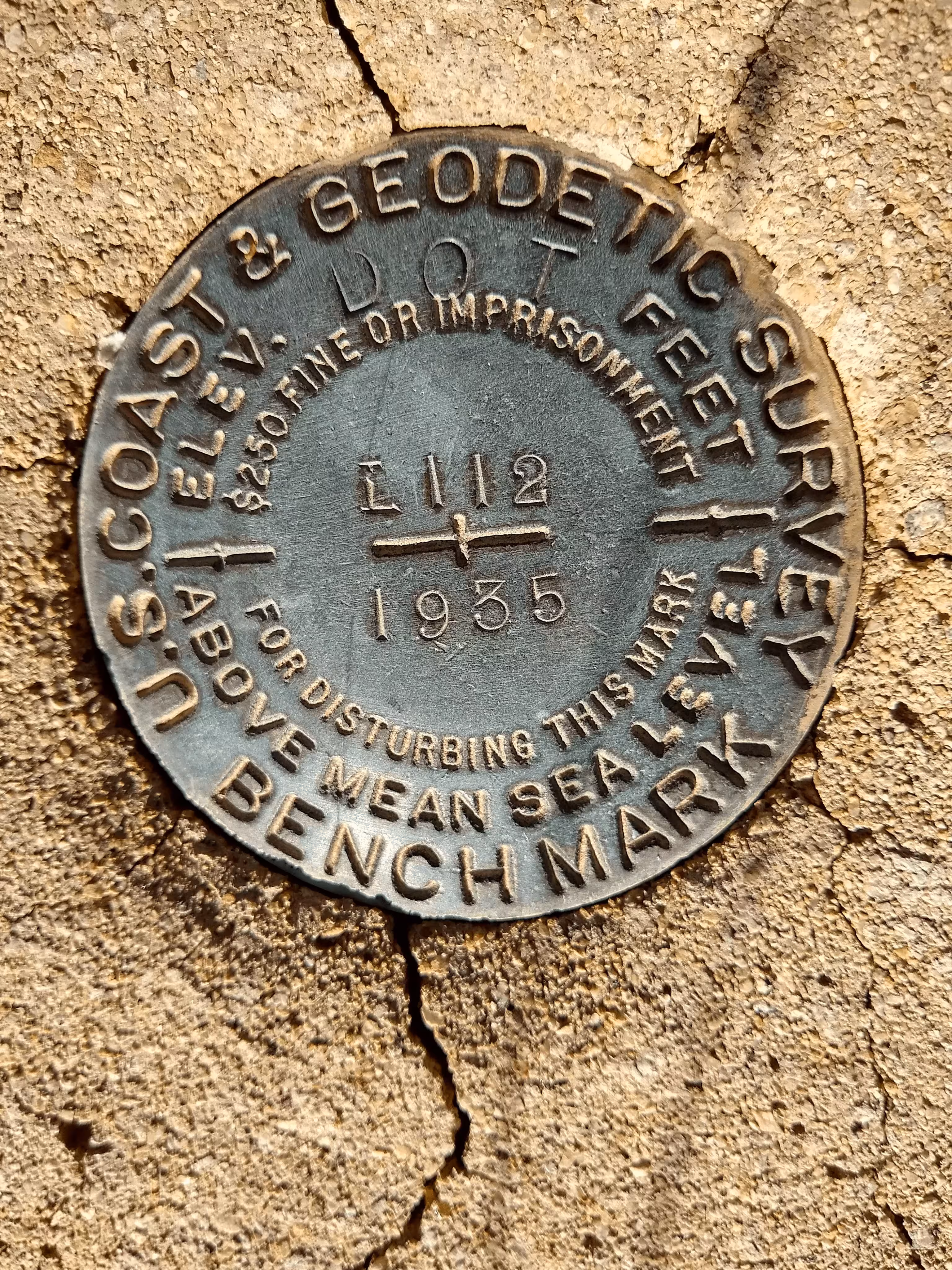
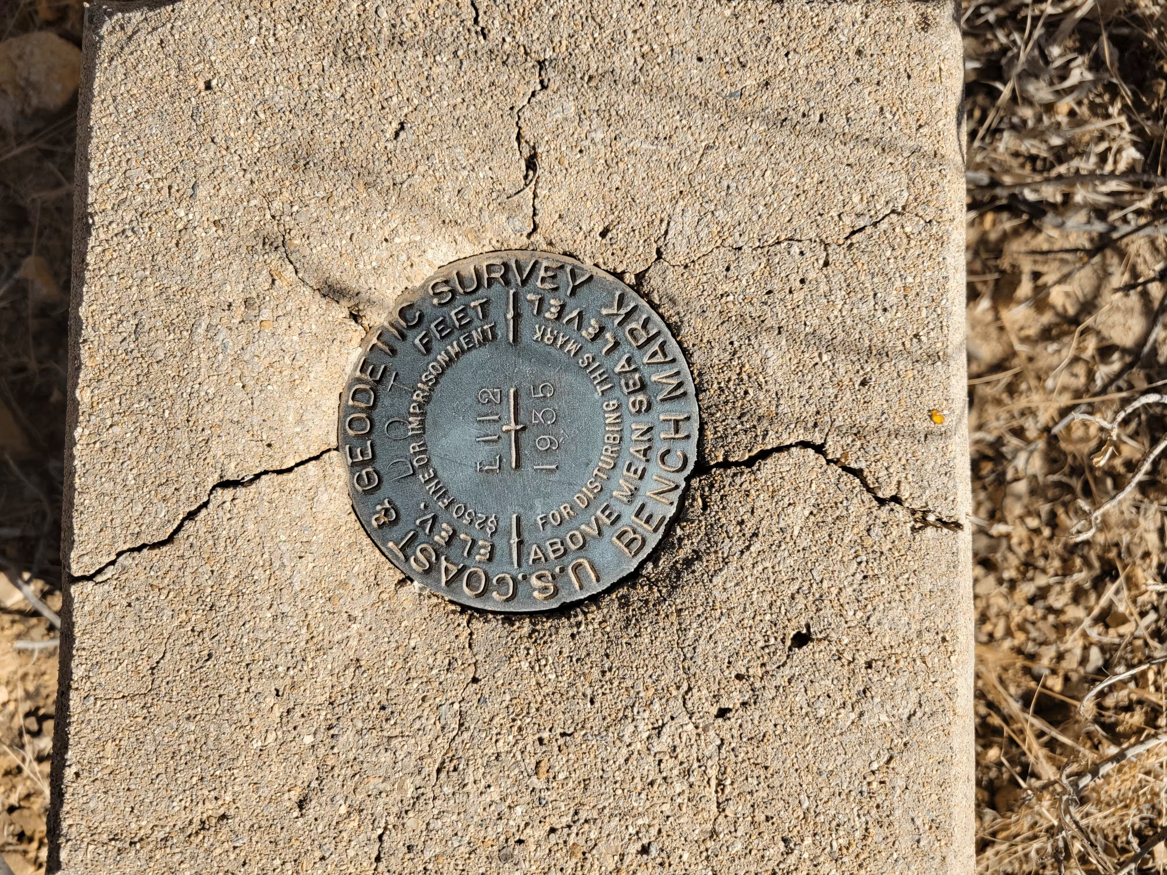
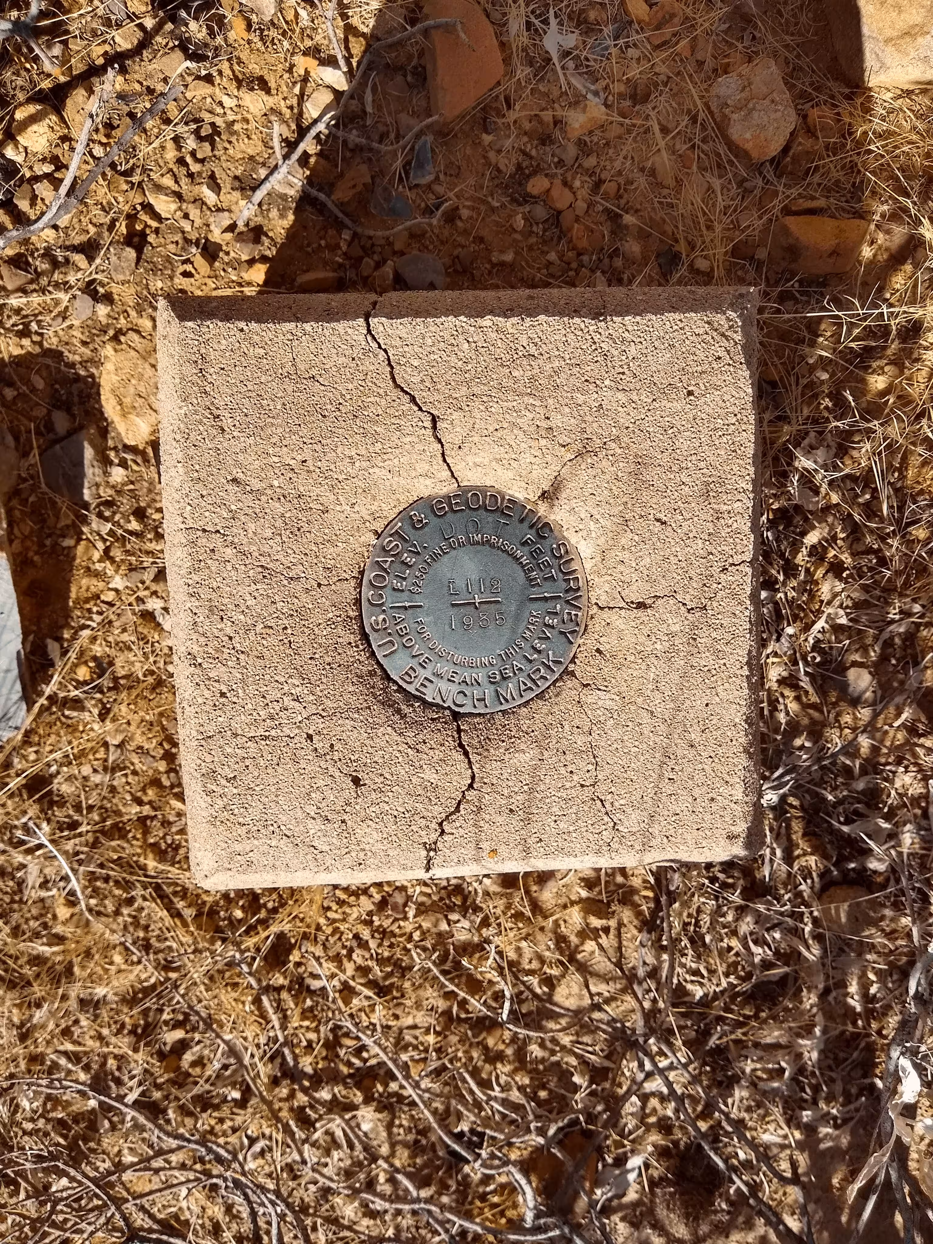
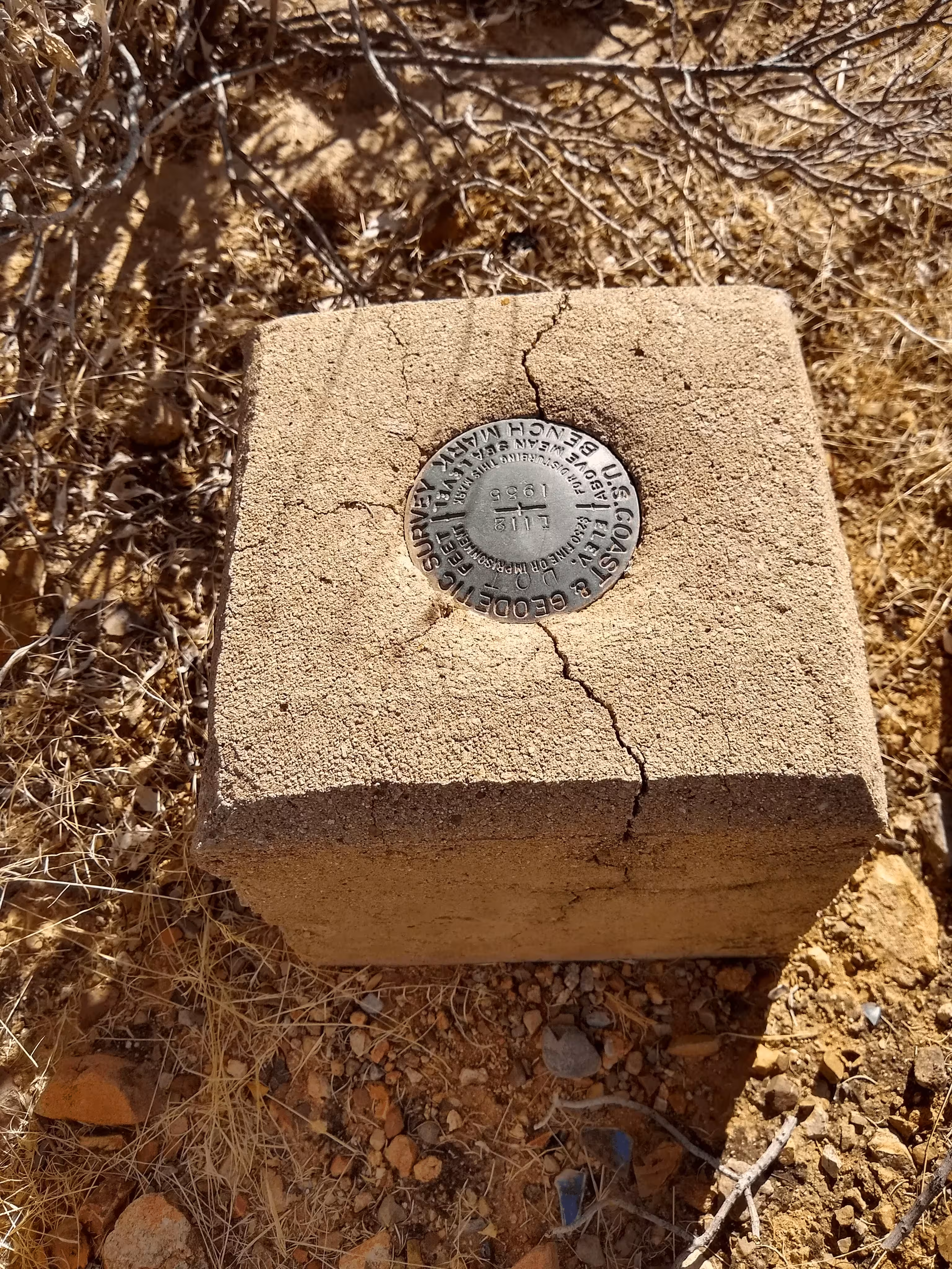
"L 112"
| NGS PointID | CZ0729 |
| Reference Benchmarks: | None |
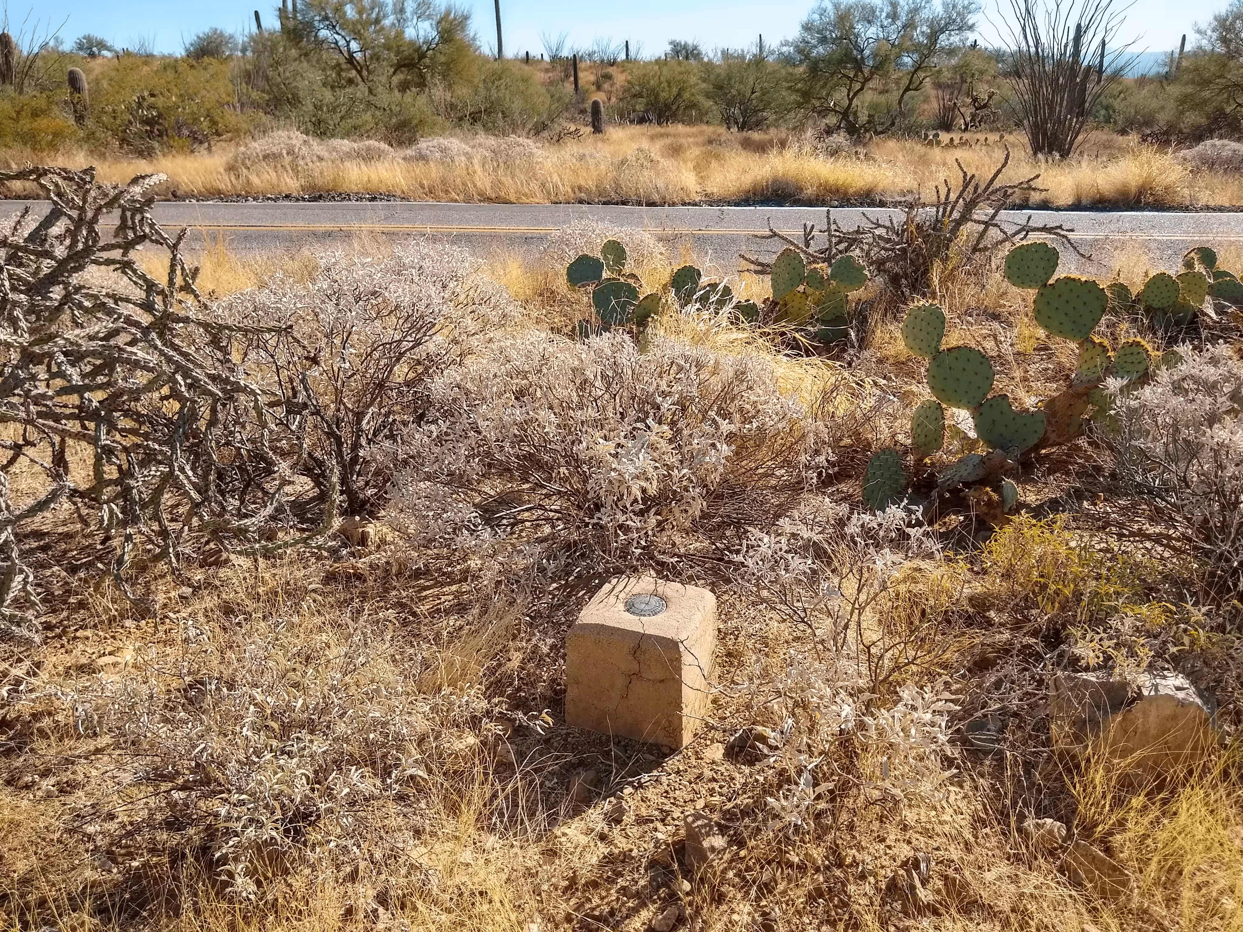
| Condition: | The disk is in good condition. The concrete has a crack down the middle of it. |
| Stamping: | DOT L 112 1935 |
| Coordinates: | 32.246317, -111.179867 |
| Elevation: | 2725.85 ft (830.84 m) |
| Setting: | Square concrete monument. |
| Monumentor: | USC&GS |
Datasheet Description:
16.0 mi W from Tucson. 6.2 miles west of the U. S. Veterans Hospital, Tucson, along state highway 86 (Ajo-Tucson), thence 9.8 miles northwest along the Kinney road (via McCain Loop), 0.25 mile west of a rock culvert under the road, 0.2 mile east of a point where the road crosses a canyon, 22 1/2 feet north of the center line of the road, 1.9 feet south of a witness post, and set in the top of a concrete post projecting 0.9 foot above the ground, and about 1 foot higher than the road.
"L 112" is a benchmark monumented by the USC&GS in 1935 located in Coconino County, Arizona.
The mark is on the north side of Kinney Road. There is a parking pullout southeasteast of the benchmark.