|
|
Main benchmarks recovered in good or poor condition. |
|
|
Main benchmarks that have been destroyed. |
|
|
Reference benchmarks recovered in good or poor condition. |
|
|
Reference benchmarks that have been destroyed. |
|
|
Azimuth benchmarks recovered in good or poor condition. |
|
|
Azimuth benchmarks that have been destroyed. |
|
|
A main, reference, or azimuth benchmark not searched for. |
"F 77"
| NGS PointID: | CG0322 |
| Condition: | Ware and minor scratching |
| Stamping: | F 77 1934 |
| Coordinates: | 31.663306, -110.682333 |
| Elevation: | 4737.17 ft (1443.89 m) |
| Setting: | A square concrete post. |
| Monumentor: | USC&GS |
Datasheet Description:
1.9 mi SW from Sonoita. 1.9 miles southwest along the Southern Pacific Co. Railroad from Sonoita, Santa Cruz County, 3 feet southwest of milepost 1084, 40 feet north of the centerline of the track, and 20 feet south of a fence line. A standard disk, stamped F 77 1934 and set in the top of a concrete post.
"F 77" is a benchmark monumented by the USC&GS in 1934 located in Santa Cruz County, Arizona.
The benchmark is on the highway right of way and can be accessed from AZ 82.
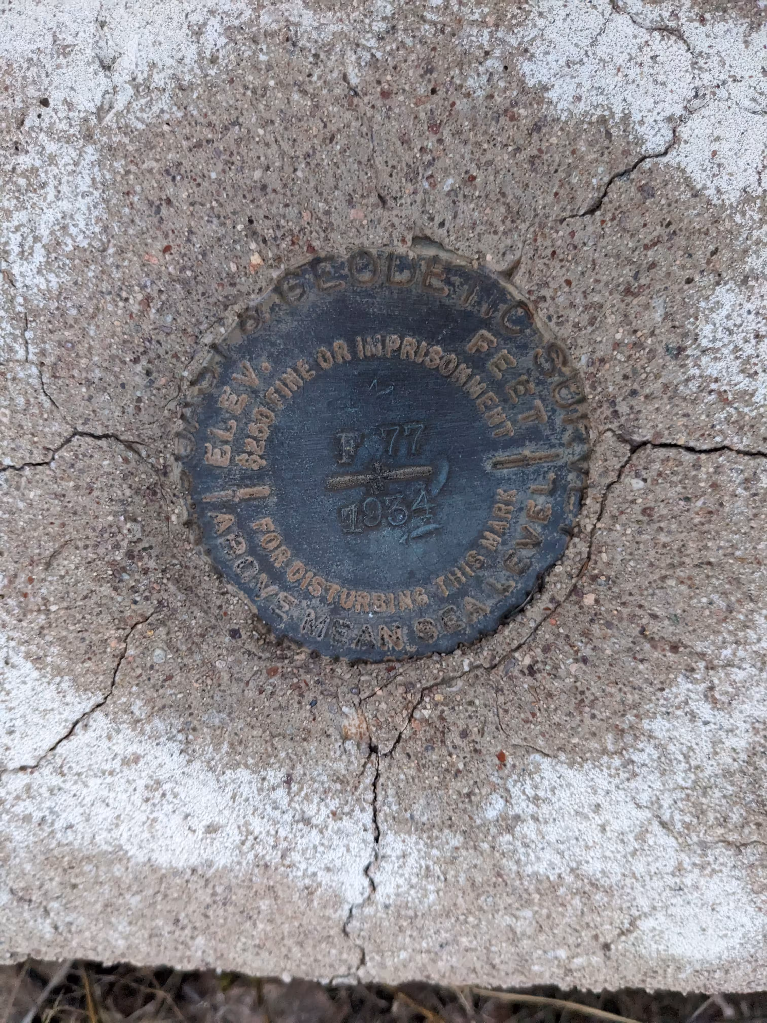
A closeup of F 77.
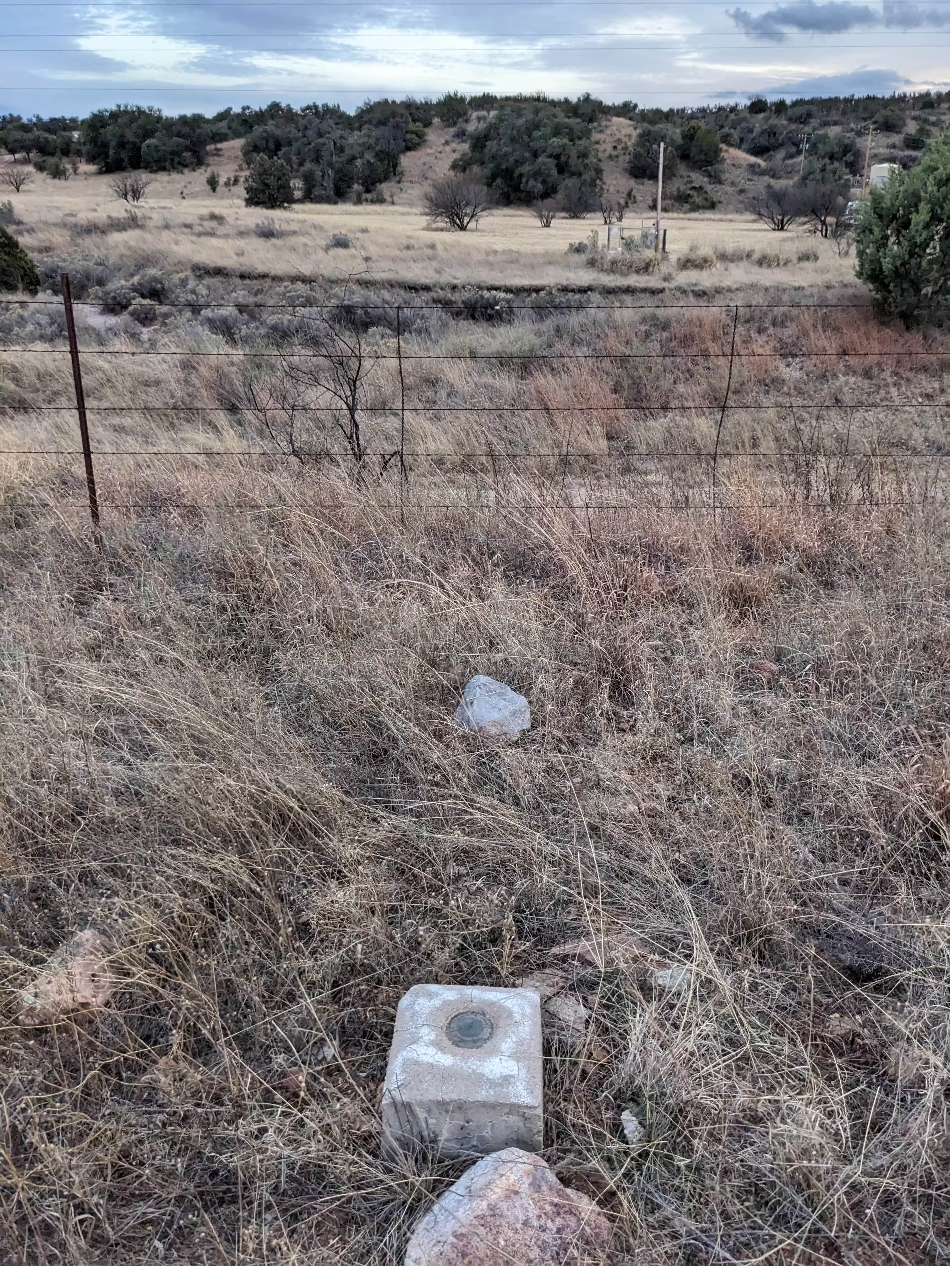
F 77 from further back.
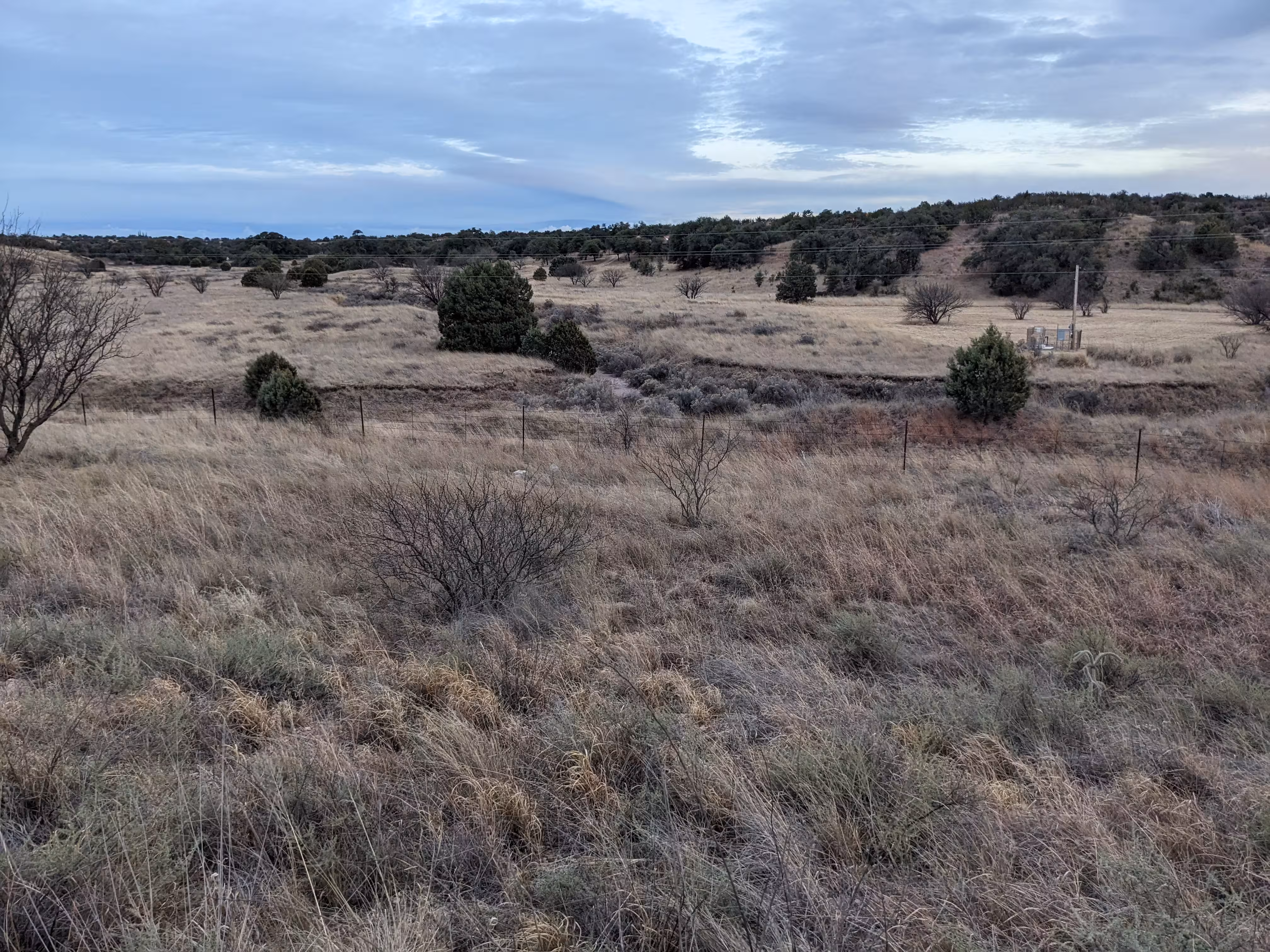
F 77 from a distance.