|
|
Main benchmarks recovered in good or poor condition. |
|
|
Main benchmarks that have been destroyed. |
|
|
Reference benchmarks recovered in good or poor condition. |
|
|
Reference benchmarks that have been destroyed. |
|
|
Azimuth benchmarks recovered in good or poor condition. |
|
|
Azimuth benchmarks that have been destroyed. |
|
|
A main, reference, or azimuth benchmark not searched for. |
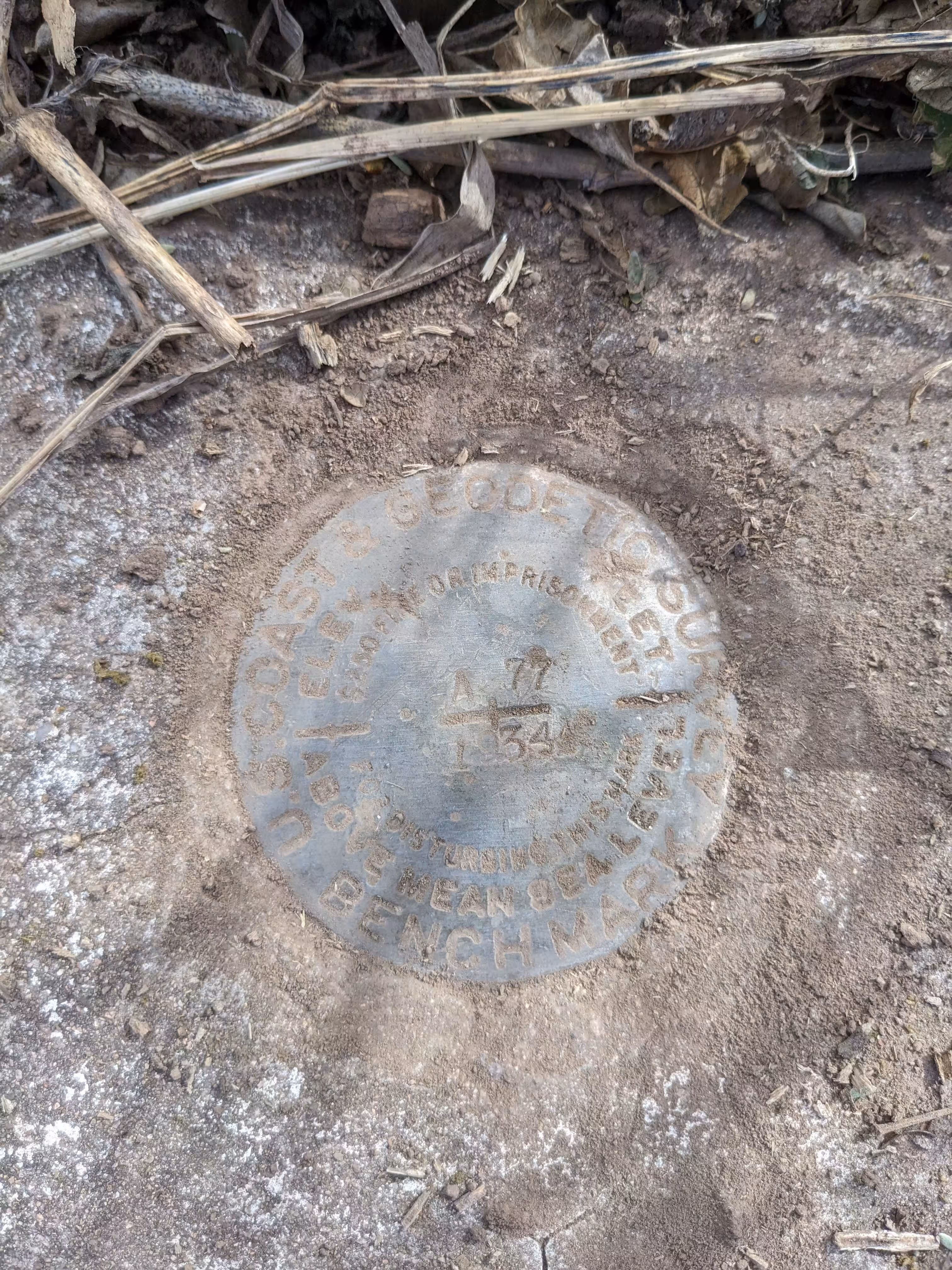
"A 77"
| NGS PointID: | CG0315 |
| Condition: | Ware and minor scratching |
| Stamping: | A 77 1934 |
| Coordinates: | 31.537222, -110.758278 |
| Elevation: | 4038.29 ft (1230.87 m) |
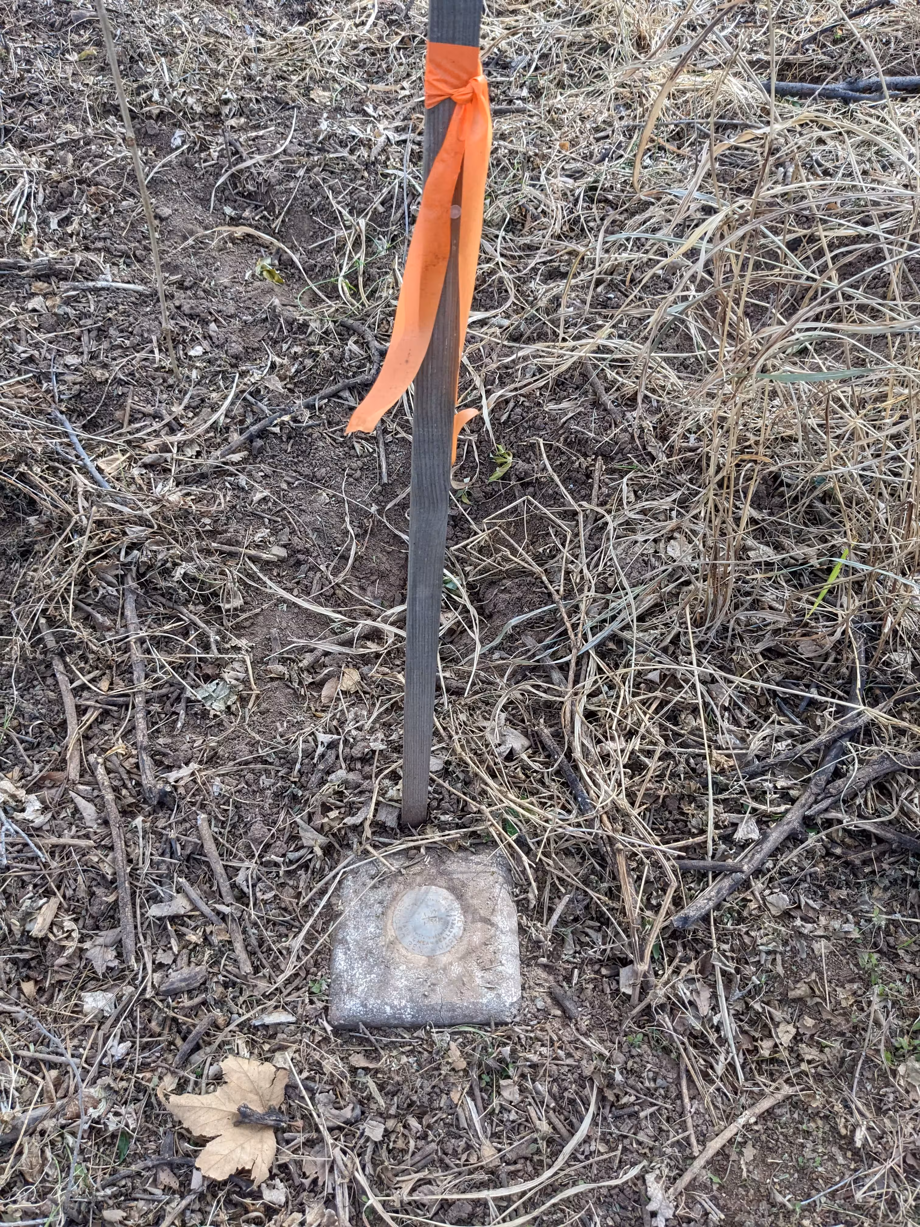
| Setting: | A square concrete post. |
| Monumentor: | USC&GS |
Datasheet Description:
0.4 mi SW from Patagonia. 0.4 mile southwest along State Highway 82 from the Southern Pacific Co. Railroad station at Patagonia, Santa Cruz County, 115 feet southwest of an adobe house, 60 feet south of a cattleguard, and 42 feet southeast of the centerline of the highway. A standard disk, stamped A 77 1934 and set in the top of a concrete post.
"A 77" is a benchmark monumented by the USC&GS in 1934 located in Santa Cruz County, Arizona.
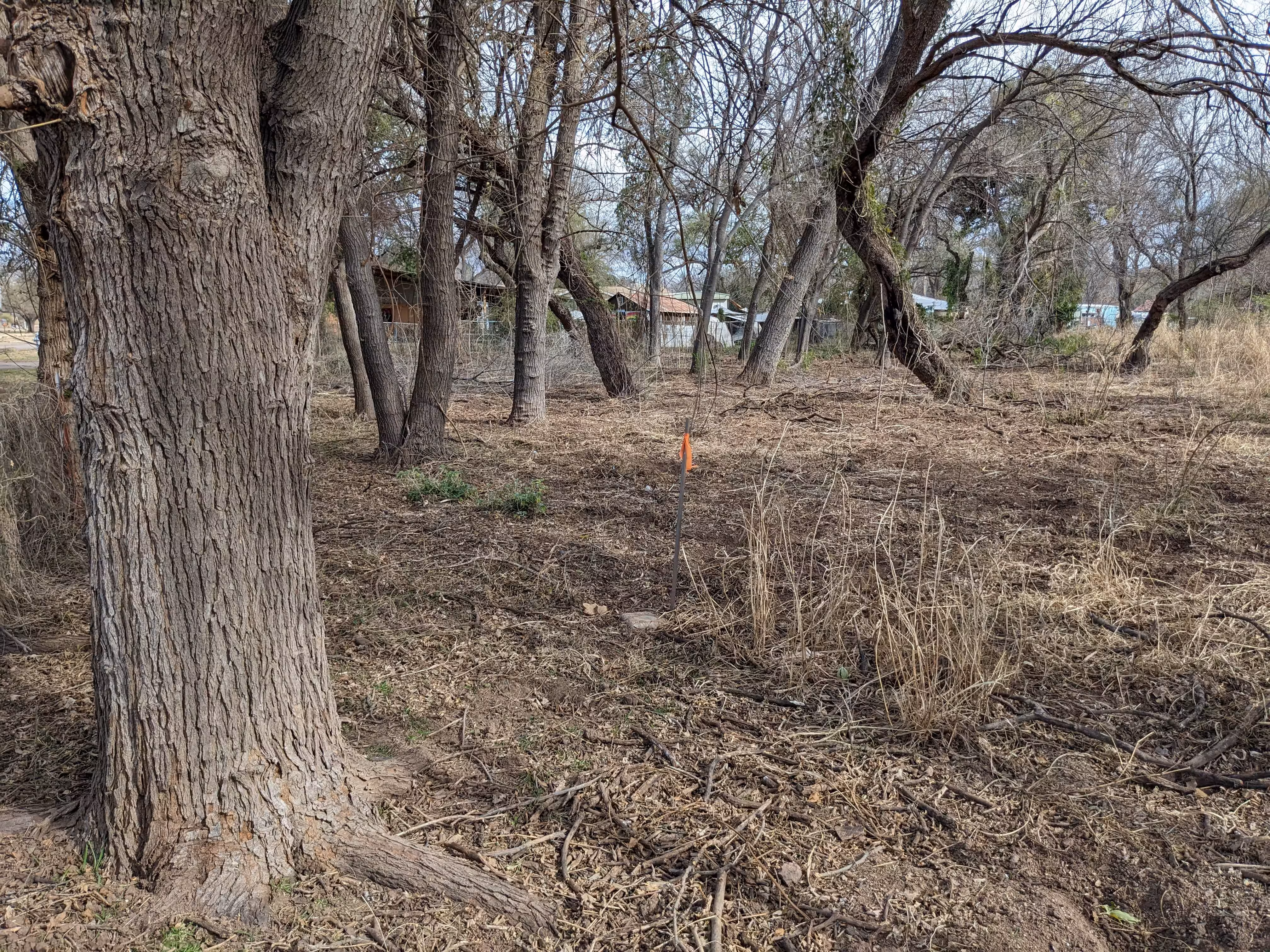
The benchmark is behind a fence but there is an opening for a public trail just south from the benchmark. A wooden post with an orange flag is right next to the post.