|
|
Main benchmarks recovered in good or poor condition. |
|
|
Main benchmarks that have been destroyed. |
|
|
Reference benchmarks recovered in good or poor condition. |
|
|
Reference benchmarks that have been destroyed. |
|
|
Azimuth benchmarks recovered in good or poor condition. |
|
|
Azimuth benchmarks that have been destroyed. |
|
|
A main, reference, or azimuth benchmark not searched for. |
"6883"
| Reference Benchmarks: | None |
| Condition: | Small gashes along the very edge of the disk. Ware present. |
| Stamping: | 6883 1907 |
| Coordinates: | 35.134616, -111.625675 |
| Elevation: | 6881.022 ft (2097.336 m) |
| Setting: | Pipe cap. |
| Monumentor: | USGS |
Datasheet Description:
St. Marys Lake, 3.06 miles northwest of, 10 feet north of road; iron post stamped "6883-1907"
"6883" is a benchmark monumented by the USGS in 1907 located in Coconino County, Arizona.
The mark is just north of the road and about a foot above ground level.
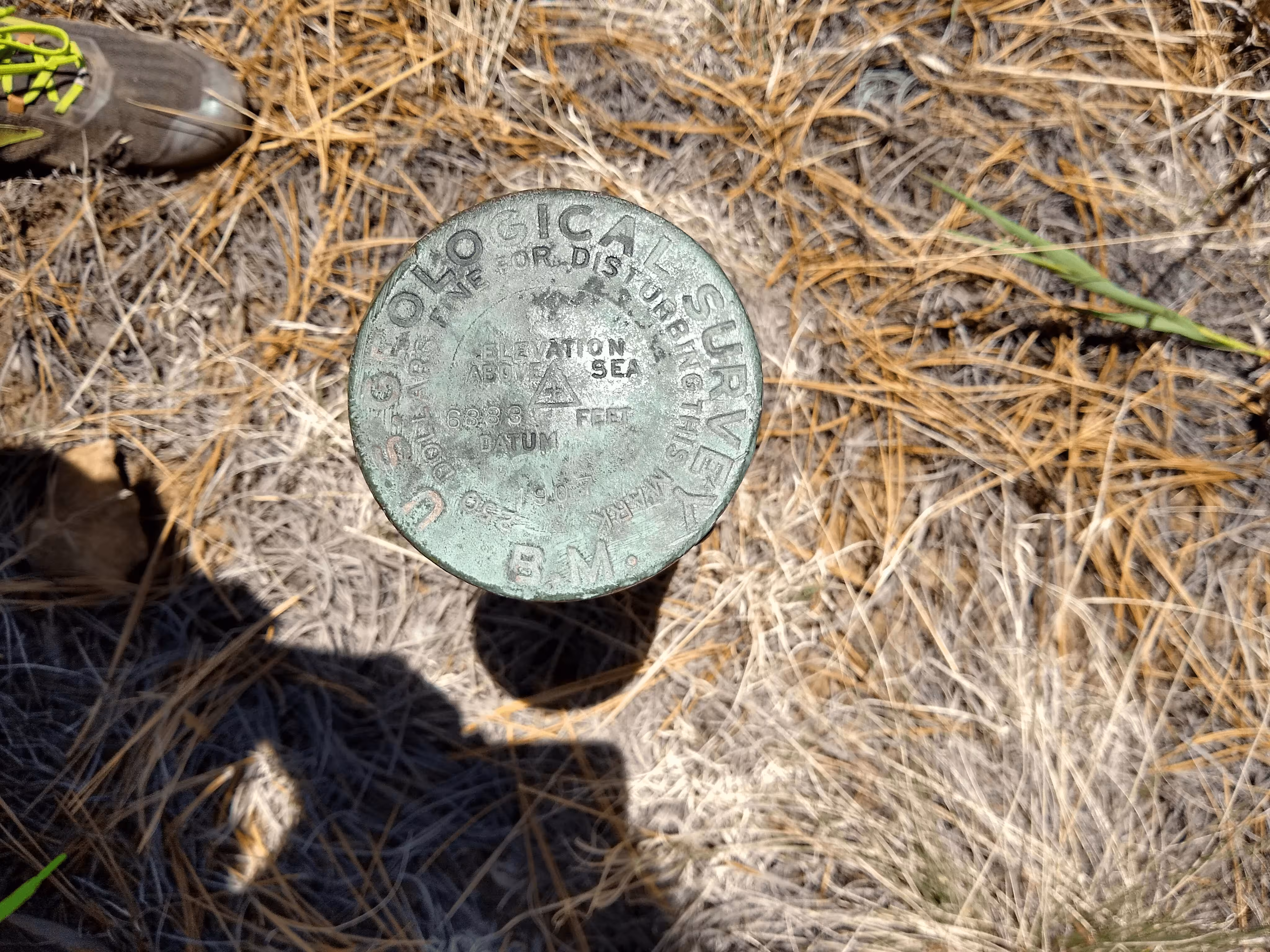
6883 close up.
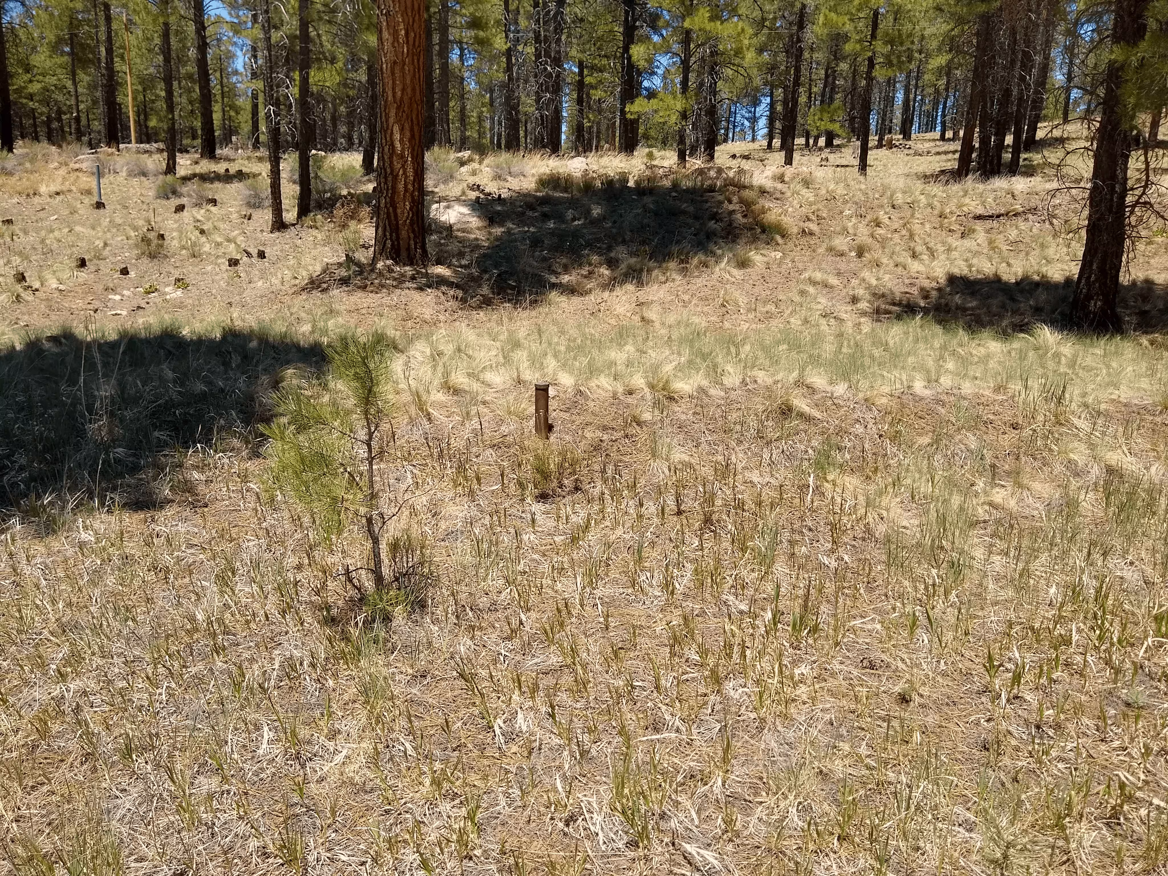
6883 a bit further back from the road.